Location: North 59.17098, East 006.68070 (GPS at the summit)
Difficulty: YDS class 3
Climbed September 20., 2020
Information:
How to get there:
A point of reference is Lysebotn at the innermost end of Lysefjorden. One can
get here by boat (scheduled service in the summer), or by road from the east.
A mountain road runs uphill north from Lysebotn, this road runs all the way to
a dam on lake Nilsebuvatnet (elevation near 730 meter). A trail (signed to Nilsebu)
heads east from a sharp (left) bend on this road approximately 500 meter before
the road ends. This is a good trailhead. Location N59.15932, E6.62530, elevation near 700 meter.
Route description:
Follow the trail to Nilsebu.
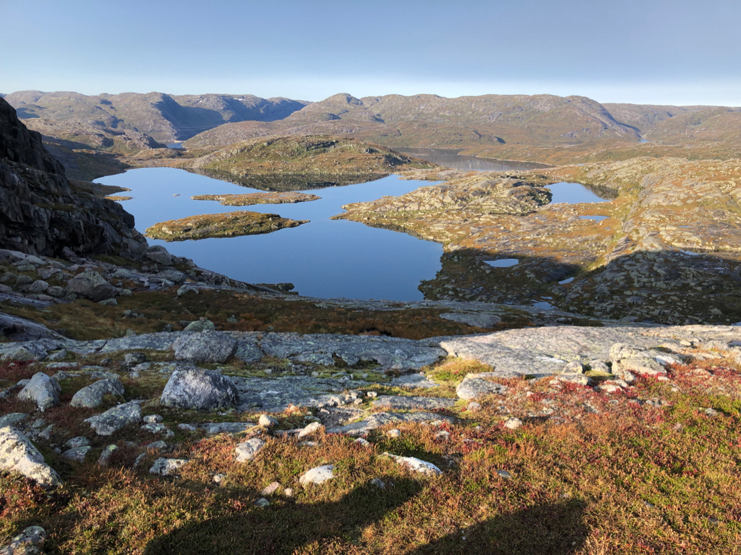
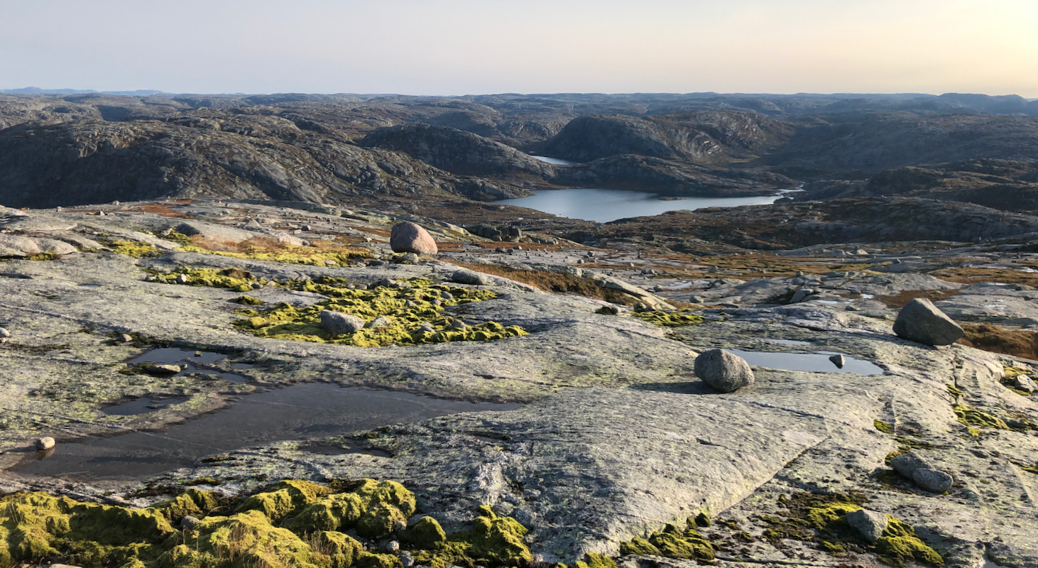
The trail will pass west, then north
of lake Heiavatnet (809m), before
climbing more steeply to a col north of Heiafjellet. Proceed downhill from the col to near location
N59.17818, E006.67418, elevation about 940 meter. Cross a bit east, then turn north and walk on
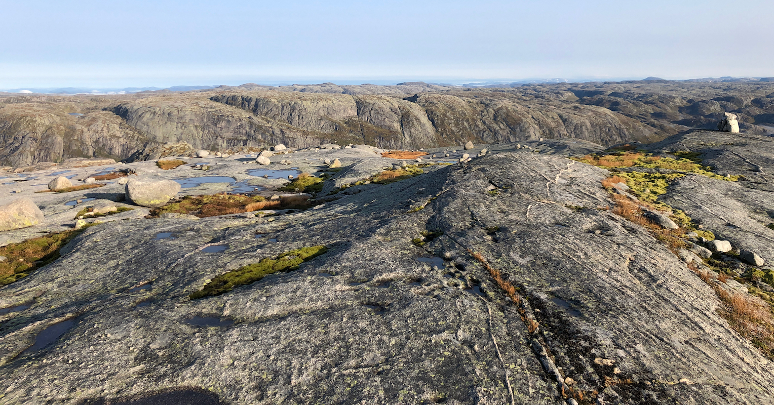
nice rock uphill. Near the top, locate a good access route to the summit plateau, this may
involve some short and easy (YDS) class 3 moves.
It is quite possible that one may find a somewhat easier route by going further east (left), this
would change the climb into a (YDS) class 2 route.
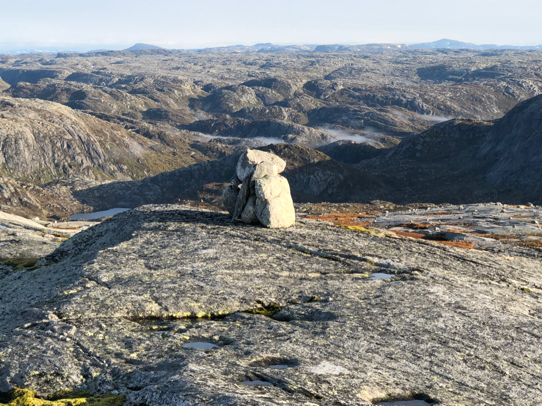
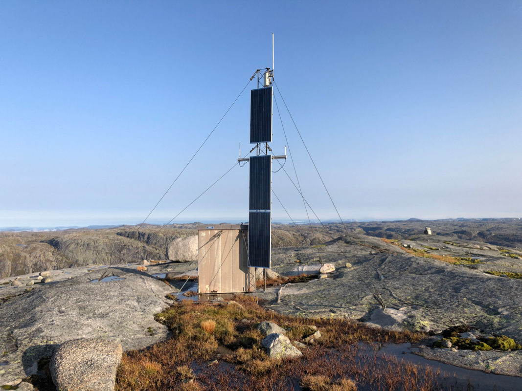
The
final stretch is an easy walk to the small summit cairn
and a nearby solar powered antenna. Comments:
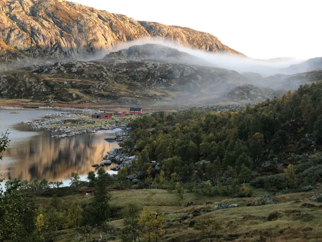
I participated in the inaguration of a historical walking path in Rogaland. This trip
started in Nes. The first day, we walked to the DNT hut Viglesdalen. The following day,
we walked to the DNT hut named Stakken. On the third day, we continued
to the DNT hut Nilsebu.
At Nilsebu, we carried out the board meeting for the Erling Bjørstad Foundation. This
foundation supports mountaineering activities related to DNT, all over Norway.
This was the first time we actually conducted the meeting outdoors at a DNT hut
location.
On the final day, we were supposed to walk back to the road that runs from
Lysebotn all the way up to the Nilsebuvatnet lake. I noticed that this
mountain was located right next to the trail and that a climb should be
possible in about one hour.
The plan was to leave at 0900 and get to the road by 1100. Thus, I left at 0800
with the estimate to spend at most one hour extra to climb the mountain. This
went according to plan, I left my backpack at the trail around 0845 and was back
down shortly before 0945. I looked for the other people, but did not see any.
Assuming that they were still behind, I descended to lake Heiavatnet at a
leisurely pace. Well down, I continued around the lake with no hurry. Then, I
examined the map and realized that it was still a considerable distance, about
3 kilometer to the road. I had only 20 minutes left before 1100. Clearly, I now
needed to run. Even running, time ran quickly and I arrived by 1115. The car was
waiting and my party pretty anxious to leave for the airport. Thanks for waiting!
As it turned out, they had left (at least) 15 minutes before 1100. My plan failed
since the hiking time was considerably more than 2 hours.
The Stavanger Turistforening (STF) organized this trip in an extremely
nice and professional way. A big thanks should be given.
