How to get there:
Locate Hwy. E-134 passing through the small community Røldal.
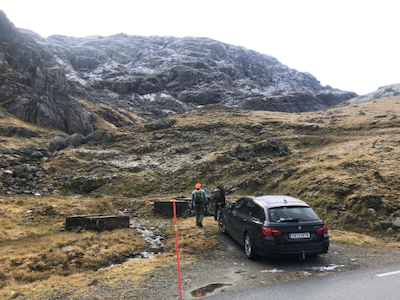
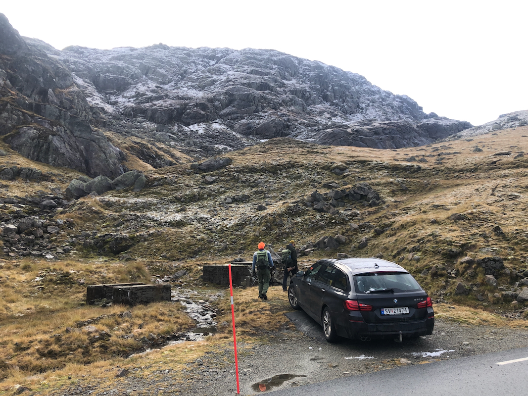
Half-way up the hill on the west side (direction Haugesund from Røldal), take
hwy. 520 signed for Sauda. This road is closed in winter. Drive this scenic road through
the first mountain pass, then starting to descend. Find parking next to the road immediately before a big
right curve, this is just south of the small lake Kringletjørn. The location is
N59.74882, E006.69683, elevation near 900 meter.
Route::
From the parking, head up the small valley along the creek. There are many possibilities,
the slope is more gentle if you continue up the small valley to the col. You should exit
the valley to the left in a location where this is convenient, this is shortly before
you reach the col. Next, head right up the slope
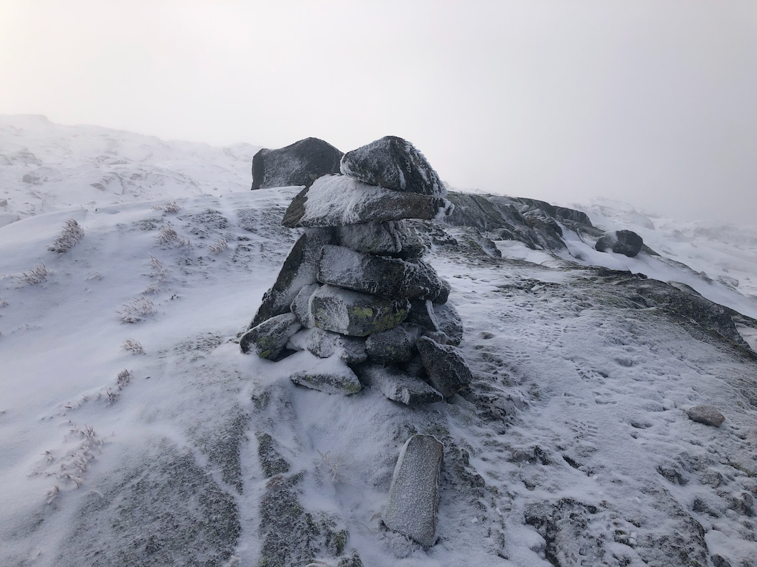
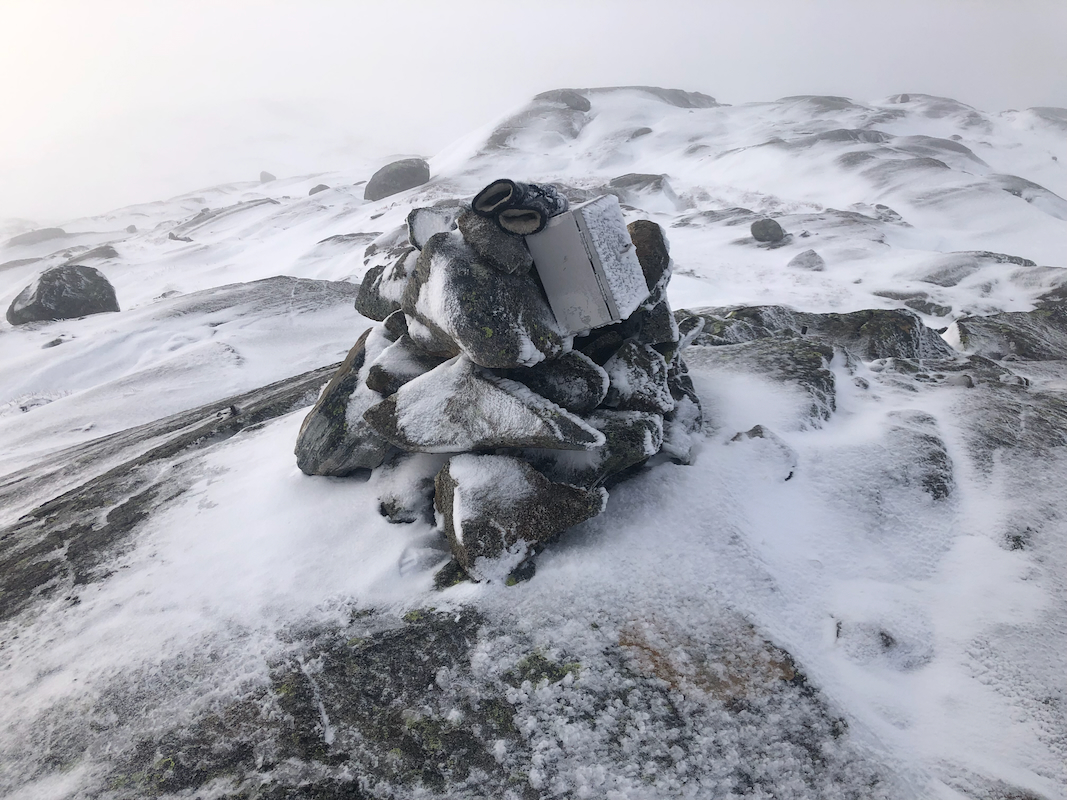
to the summit plateau. Note that there are two summit points,
they both have a small cairn.
The cairn at the highest point has a box
with a summit register attached to the cairn.
Comments:
I had stayed at the full serve DNT hut Haukeliseter. The weather was nice after a fresh coating
of snow had changed the landscape to white last night. I had time for a short hike and I decided
that Hegerlandsnuten seemed appropriate. This peak is in Hordaland, but really far away from
Bergen, therefore one should try to climb it when passing by.
I was parked at the starting point shortly after 1000, then left at 1015. The terrain was all
slippery after rain and snow that had turned partially to ice. Care was needed when stepping
on any rock, some were coated by a thin layer of ice.
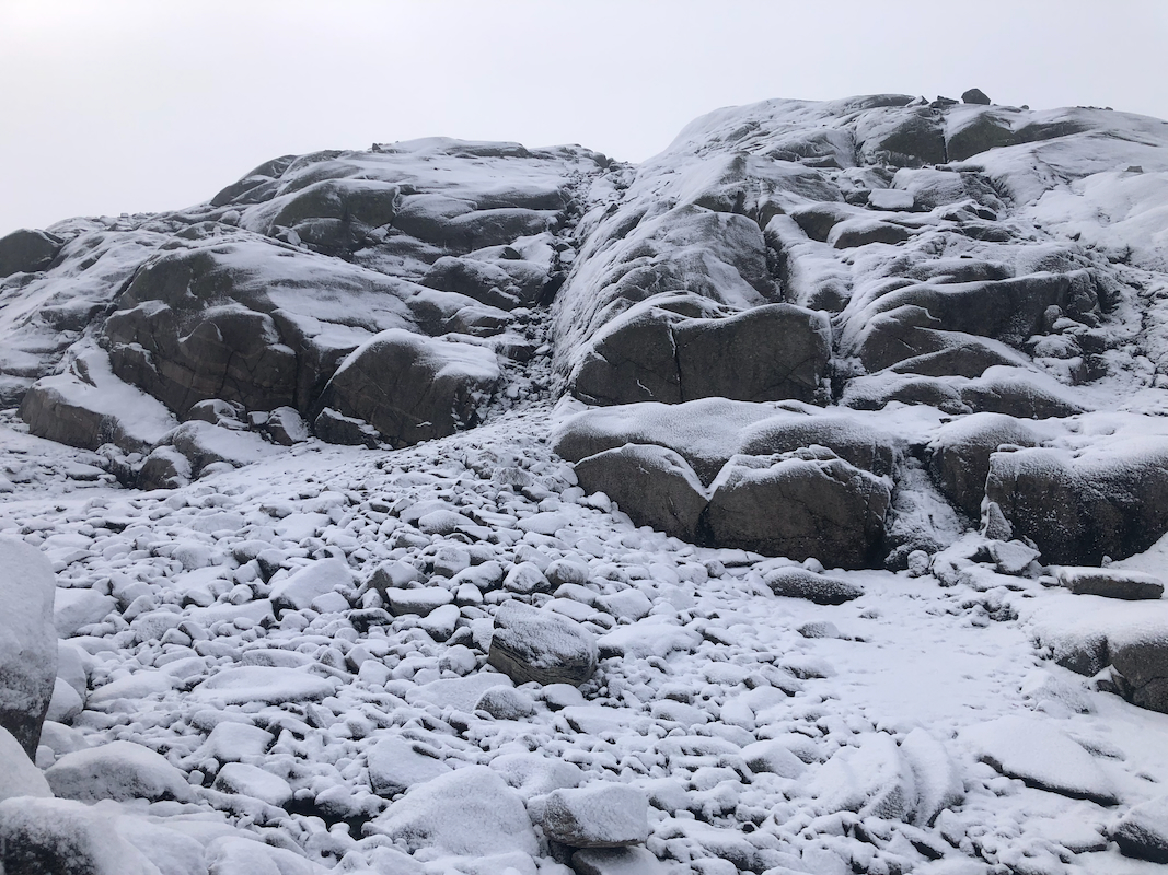
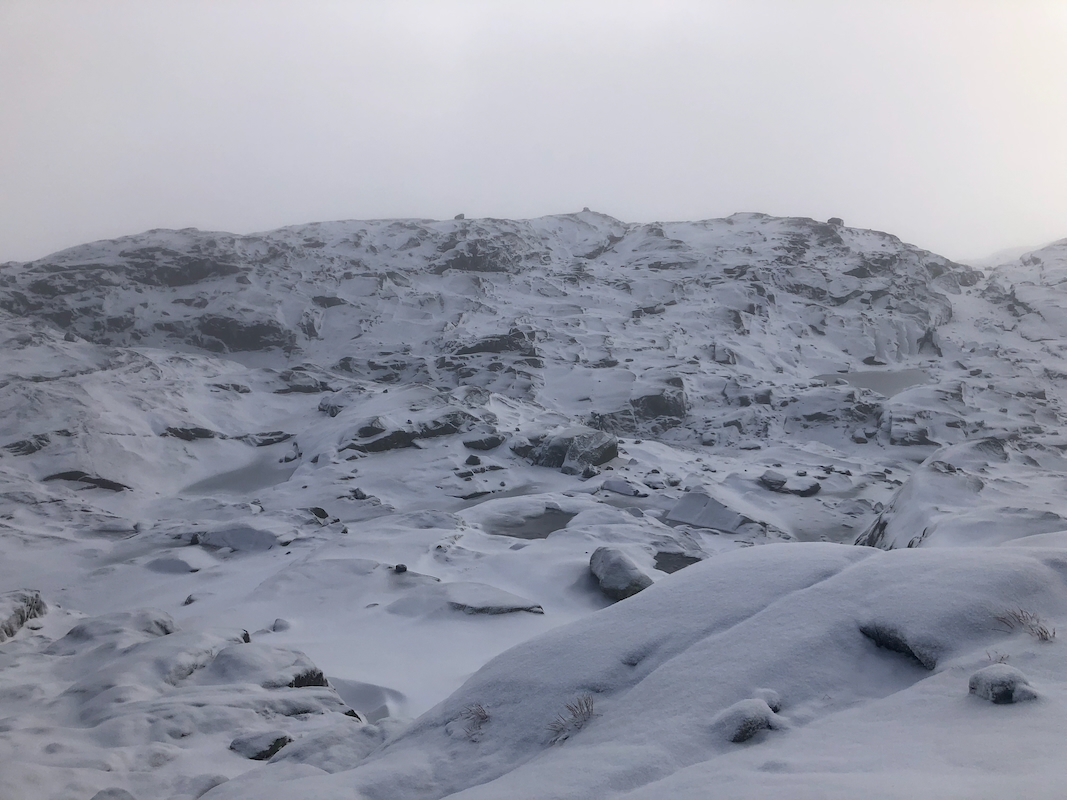
The mountain looked quite challenging with its thin layer of new snow. I went all the way up to
the col, then continued ascending a wide grassy ramp.
Higher up, I spotted a gully that looked
promising. I wanted terrain with rocks, no smooth snow covered slope!
My choice worked fine and after a sequence of smaller gullys
I made it to the summit plateau.
This area is cut into two areas by a quite distinct ravine, its steep sides only allowed for
crossing in a few places. The two competing summit points are located with one on either side
of this feature.
I first arrived at the highest point 55 minutes after starting. I next walked across to the
other cairn before heading across in order to retrace my route of ascent.
The descent went fine, despite very slippery conditions. Back down in 50 minutes for a total
trip time of 2 hours.
I next drove back to Bergen in order to pick up Heidi from the airport. She had been 3 days in
Trondheim to see her nmother. For me this concluded 5 days of mountain rambling, 7 peaks and 4
nights in quite different huts.