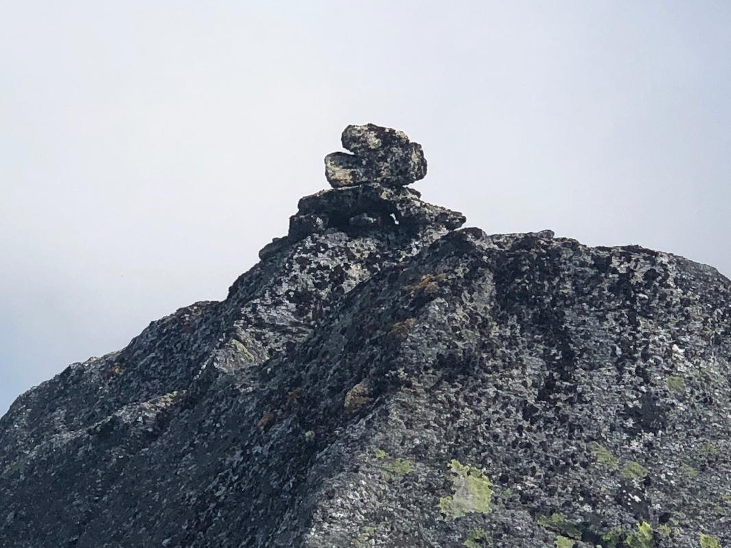
Location: North 67.86652, East 015.32669 (GPS on the summit)
Steigen, Norway
Difficulty: (YDS) class 2
Climbed July 2. 2021.
Information:
How to get there:
The standard route starts at Nordfold (in Steigen). First, continue along the
road that continues (north) along the fjord for quite some way until it ends about
one kilometer south of Gravneset. Park here, location N67.82686, E015.38908.
Route description:
First, walk about 4.5 kilometer along the shore, going north. The terrain is pretty
agreeable, there are short sections where you see a small trail.
You should turn away from the shore when you reach the second stream coming down
from Hatten, this is at location N67.86153, E015.37263.
Follow the stream (more or less) while gaining a bit more than the first 100 vertical
meter. Next, you need to (fight) find your way uphill (tending left) to the lower end
of a long open hillside that is key to the ascent. This starts at location
N67.85992, E015.34720, elevation about 300 meter. It seems that the 200 vertical meter
to be gained here, are unavoidable steepish bushwack.
Once at the lower end of the open space extending uphill, just ascend here. The going
gets better as you gain elevation.
Near 600 meter of elevation, a cliffband starts extending uphill, make certain that you
move left, do not enter the ravine. You should pass uphill in the vicinity of location
N67.86254, E015.34118. The ascent may now continue into a bowl, then more right to gain the
east ridge of Hatten. This ridge can be followed without
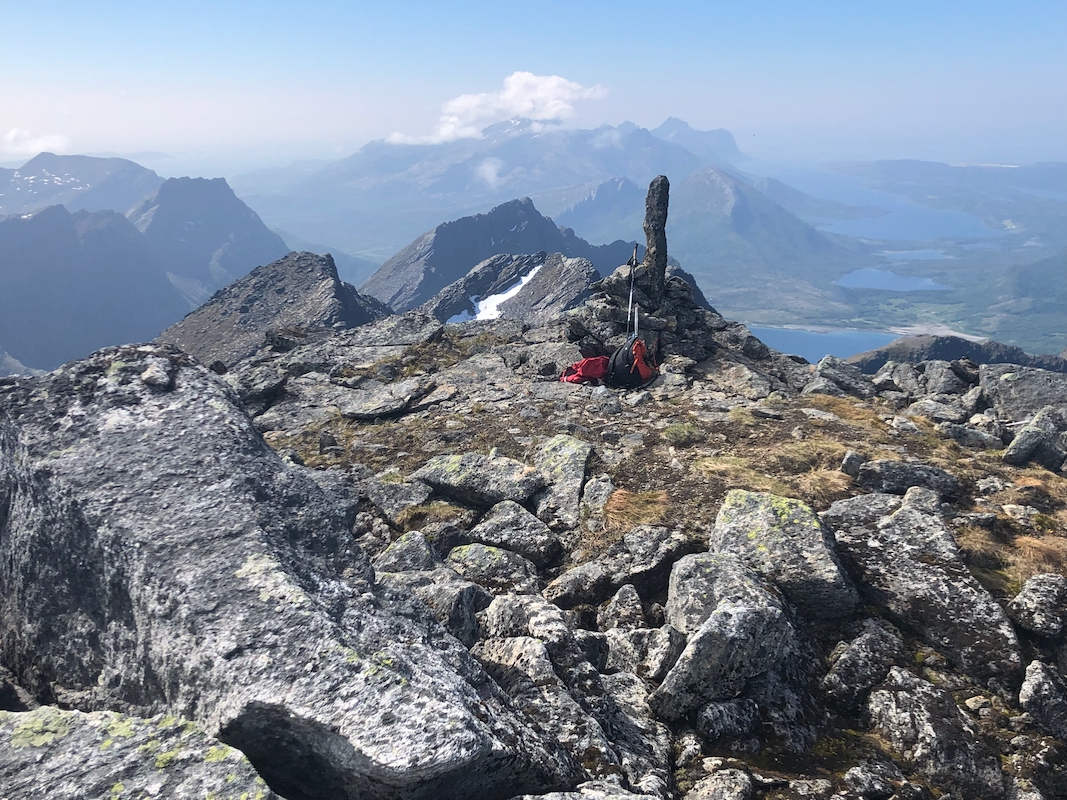
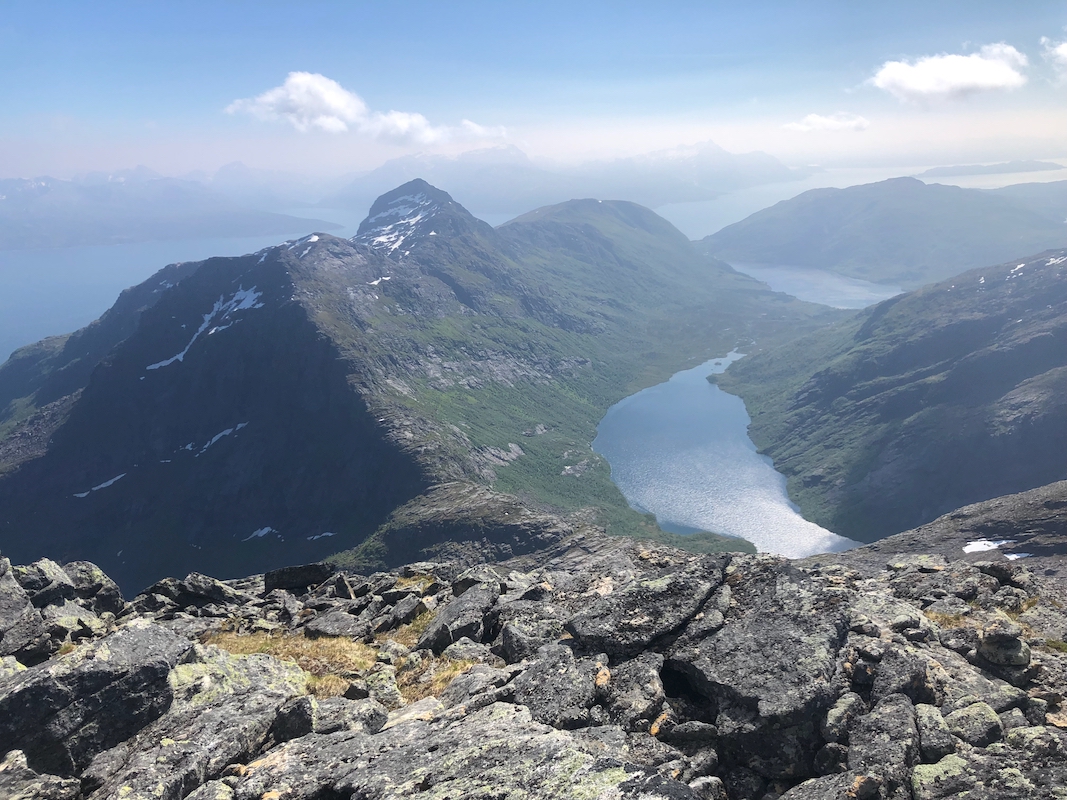
any issues to the summit. Comments:
I had expected this climb to be somewhat shorter/easier than my climb of Storvasstinden
the previous day. This turned out to be wrong. I left the house of Nina and Agnar in the
morning, it had indeed been a very nice stay.
I started walking along the shore at 0845.
There were people in the cabin at
Gravneset, thus a short stop to talk.
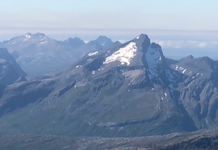
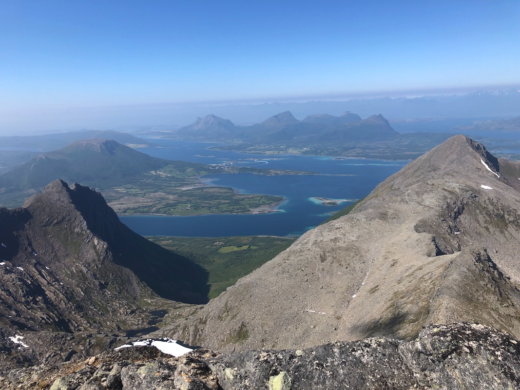
From here, the peak and the various choices of route
could be seen quite well.
I arrived at the second creek
at 1035. Heading uphill along this creek was quite nice. Eager to gain elevation, I
ascended to early and quickly entered 5-star bushwack terrain. Add that I already
seemed completely engulfed in a small
cloud of flies and worse, biting horse flies.
I advanced rather slowly uphill, but finally arrived near the entrance of the rocky
ravine. A sequence of small cairns (mis)led me into this territory. I soon realized
that this was a dead end wrt. climbing the peak. Those cairns should be removed!
Turning the blocking cliff below, going left, soon brought me back on a proper route.
I crossed to the east ridge and made the
final ascent, arriving on top at
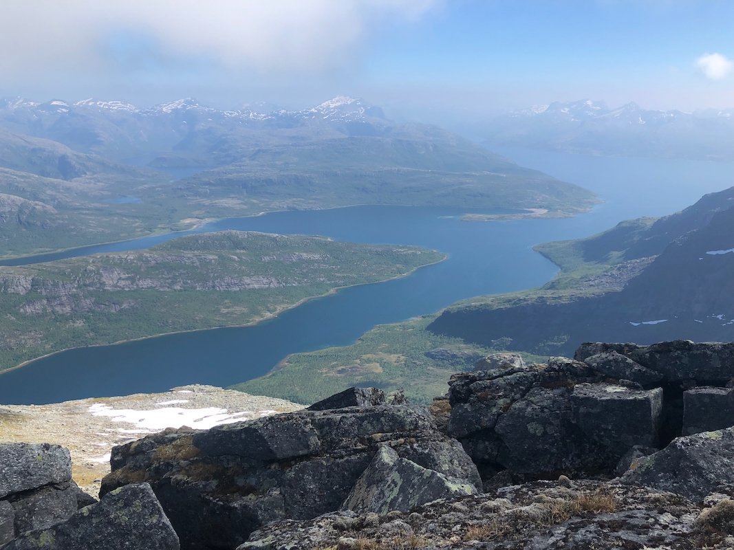
1405, it had taken me 3:30 up. Good views all around. I deserved a break and rested
for 20 minutes. Descending, I decided to stay with the long open area going downhill.
This was nice in the upper part, but covered with ferns, the lower part was still cumbersome.
Another, seemingly unavoidable bushwack down to the small valley with the creek, then easier
back to shore. I was there at 1650, so still about 2:20 on descent. I still had to walk
back to my car, arriving there at 1830. In total, this was a long trip. My next task was to
drive north to Hamarøy where I would establish a new base camp for the next 4 nights.
Resources:
Images
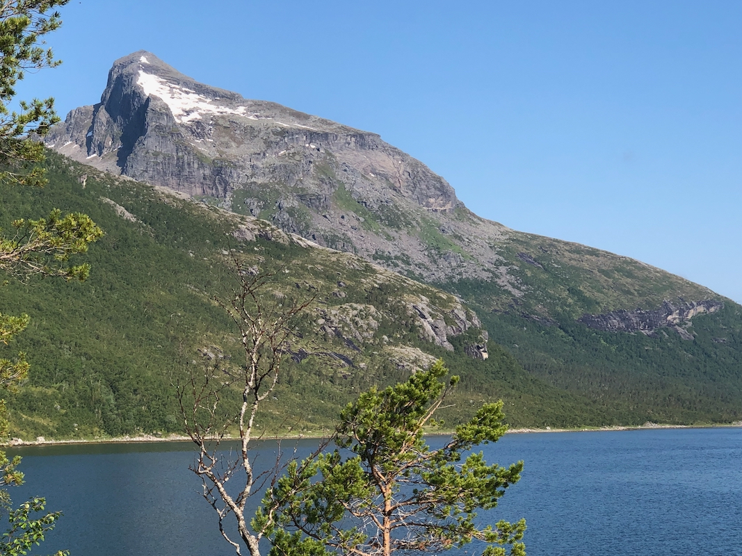
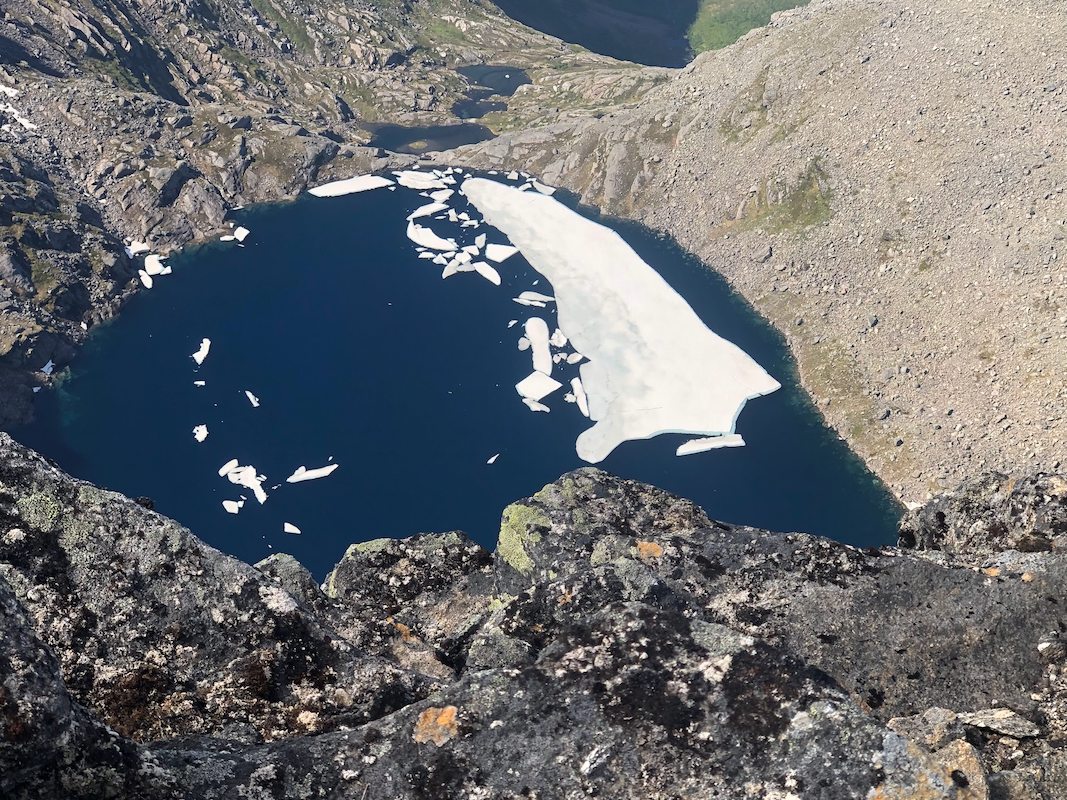
Hattvatnet, the view is directly down from the summit.