How to get there:
Drive east from San Salvador to the north of lake Ilopango, then north towards Suchitoto.
Turn left at location N13.88021, W089.05989. Next, turn right at N13.88090, W089.06435.
Follow this road as it leads uphill to a small house at location N13.88960, W89.09704.
This is the trailhead, you need a 4WD in order to get there in any reasonable way.
A quick summary of the peaks climbed in Central America.
Route description:
Continue along the road, then fork left and follow a trail into the small valley. This trail
quickly connects to a hill/ridge that provides access to the main crest north at location
N13.89299, W089.10739, elevation about 1230 meter.
The route now follows this ridge going right, slightly descending. Leaving this ridge to the
left, you pass a local dvelling as the trail continues its gentle descent to its lowest
point near N13.89808, W089.11138, elevation near 1200 meter.
From here, the trail heads uphill, note a somewhat steeper section, distinctly forking right.
This is the technical "crux", a supporting hand is natural here (YDS class 2). Higher up,
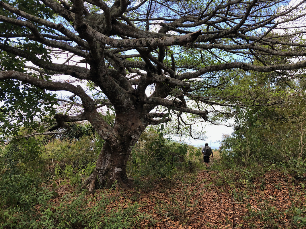
you pass an open area with a building on your left (military presence?), the final part
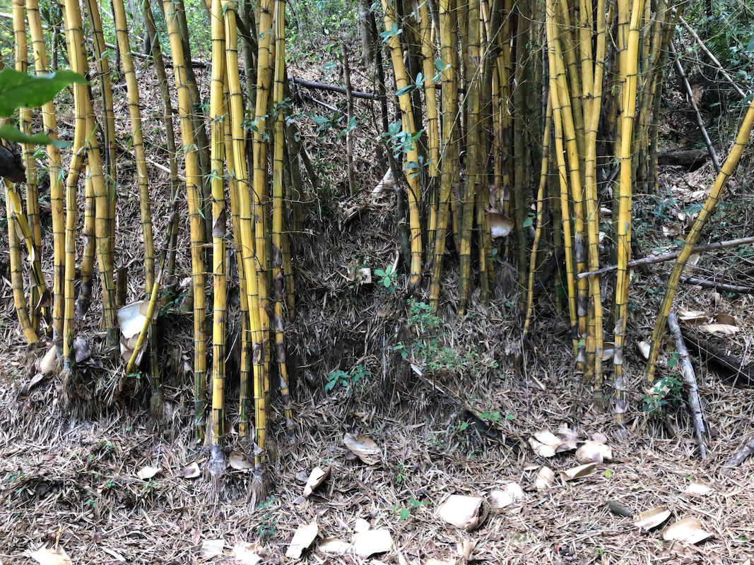
of the route/trail is more bush, a faint trail may be followed, but some bushwack may be
unavoidable. The summit point is in the middle of vegetation, no clear views in any
direction.
Comments:
We left early from "bitcoin beach" and a longish drive followed. At the
trailhead, we were expected and welcomed by the local people staying
here.
We soon started out (around 0900) and the ascent on a sunny hillside was perhaps the warmest
hike experienced on this trip to El Salvador.
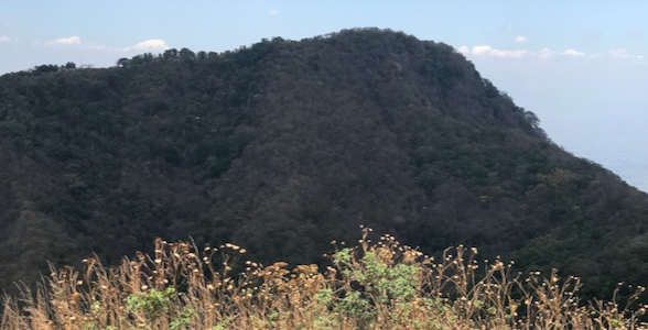
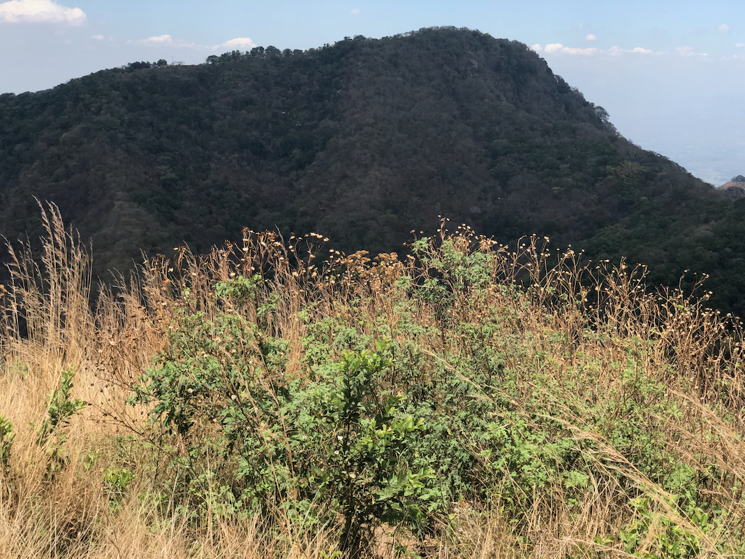
We arrived at the main crest after approximately 35 minutes. I noticed the peak on our
left, thinking that it would be a nice bonus summit to be considered on our return.
The summit was reached around 1040, no views and generally not a very desireable goal.
We returned after a very brief break. On the return, we made the short side-trip
to Cerro Chino.
a very nice viewpoint, much better quality than our main goal.
We returned to the trailhead at 1230, it had been a pretty hot day and the
refreshments served were appreciated by all.