Location: North 60.42959, East 006.08771 (GPS on the summit)
Climbed 16. June 2020.
Information:
How to get there:
From Bergen, drive E-16 to the traffic circle at Trengereid, go right on Hwy. 7 towards Hardanger.
Continue on Hwy. 7 from Norheimsund to the center of the small village Øystese. In the
traffic circle there, go left and follow signs for Fitjadalen. This road is kept open all year.
Continue uphill to the lake Fitjadalsvatnet and continue around this lake to the opposite
end. There is parking here at location N60.42871, E006.16357, elevation about 270 meter.
Route description:
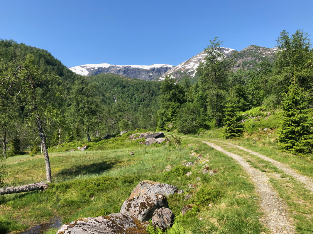
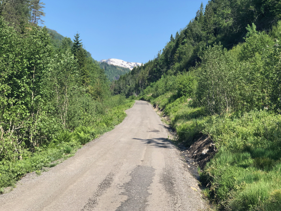
Continue along the road that runs
further into the valley Fitjadalen. The road ends in an open area
and a trail continues. Shortly, you will see a trailfork where the left branch crosses a bridge
of metal. Cross this bridge and continue along the (smaller) trail that first climbs a clear
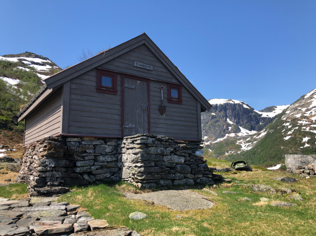
ridge, then turns more left and arrives at
the summer farm houses Eivindsete that one may see from
the trail below, well before arrival.
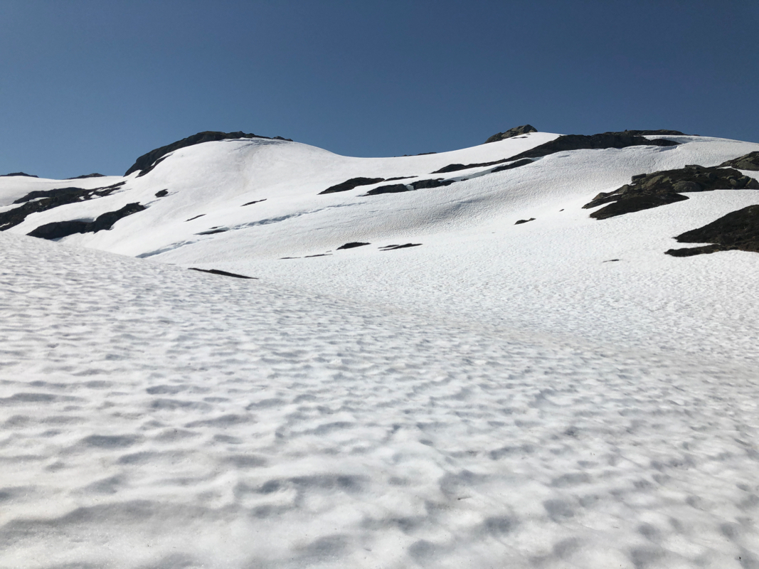
A small valley extends uphill from Eivindsete.
Find a reasonable route as you continue west and uphill
to the highest point marked with a small cairn. Comments:
This was a super summer day with blue skies and warm weather. I had two more summits left on my
big project to complete the region between the Hardangerfjord and the valley from Voss where
E-16 also runs. I decided to hike both summits in a single trip, this would be a fairly long hike,
but the days are long. I left Bergen after a nice breakfast and everything went according to plan
until the uphill road from Øystese to the Fitjadalen lake. The road was blocked and the
man with the big truck told me that some road repair had been scheduled and this would take at least
4 hours. The simple choice was clear,
park and hike from here. This would add another 8 km to my
total hike.
I started walking around 1100, a nice walk along the lake, then up the road towards Vossadalen.
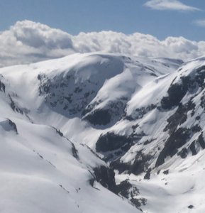
My second goal, Ådni, came into view.
Vertical cliffs into Vossadalen, this peak must be
climbed from its south or north side. It is June, but still feels like spring up here, nature
coming to life, and water everywhere.
The bridge appeared soon after the end of the road and shortly after this crossing, I spotted the
buildings at Eivindsete higher up. Above Eivindsete, the snow was still pretty much everywhere,
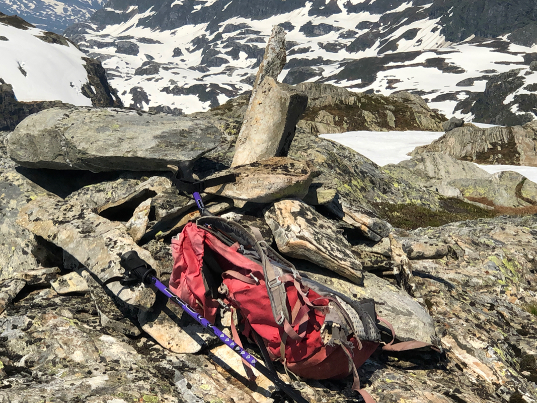
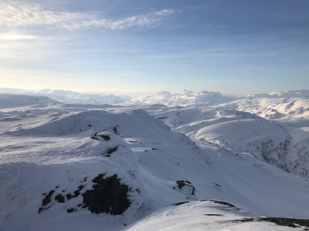
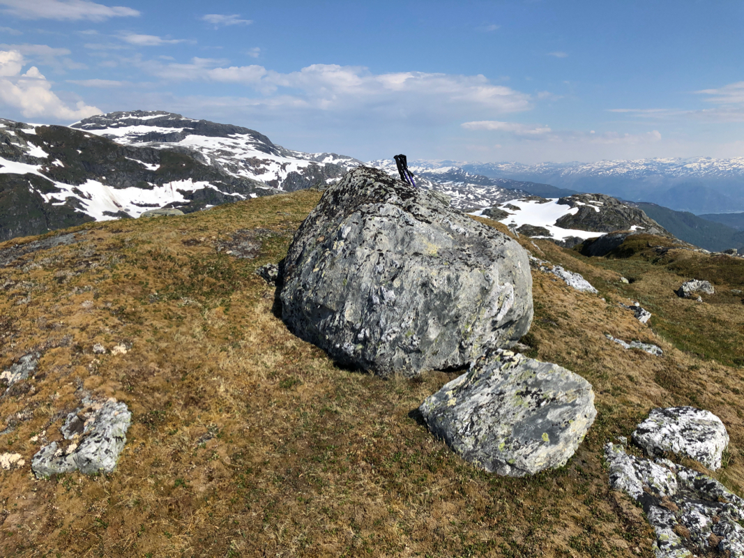
but nice to walk. I arrived at the summit at 1450, so this had taken time.
Excellent views, there is quite a bit of snow left as we move towards end of June.
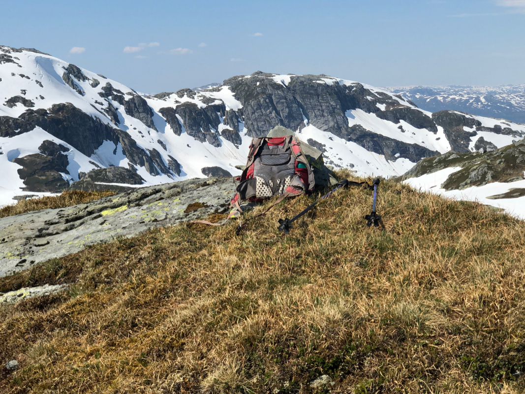
After a 10 minute break,
I started to explore the onwards route to Ådni. The ascent to the first (false) summit looked
easy, but descending to the col required careful routefinding.
I passed the first, false summit slightly on the right side, descending to the local col.
Again, the ascent was easy and I arrived at
the summit at 1550.
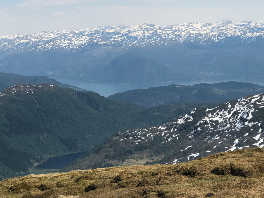
Nice views around and across to neighbor Fuglafjellet. This was my last summit
in a rather large region limited by Hardangerfjorden,
the road from Granvin to Voss, the river from
Voss to the fjord, then the fjords connecting west to Radøy.
I left at 1600, I had decided to make a loop hike and return down Vossadalen.
First, the descent to a second col was
again fairly steep snow. I started down sort of left, traversed more right to find a more gentle
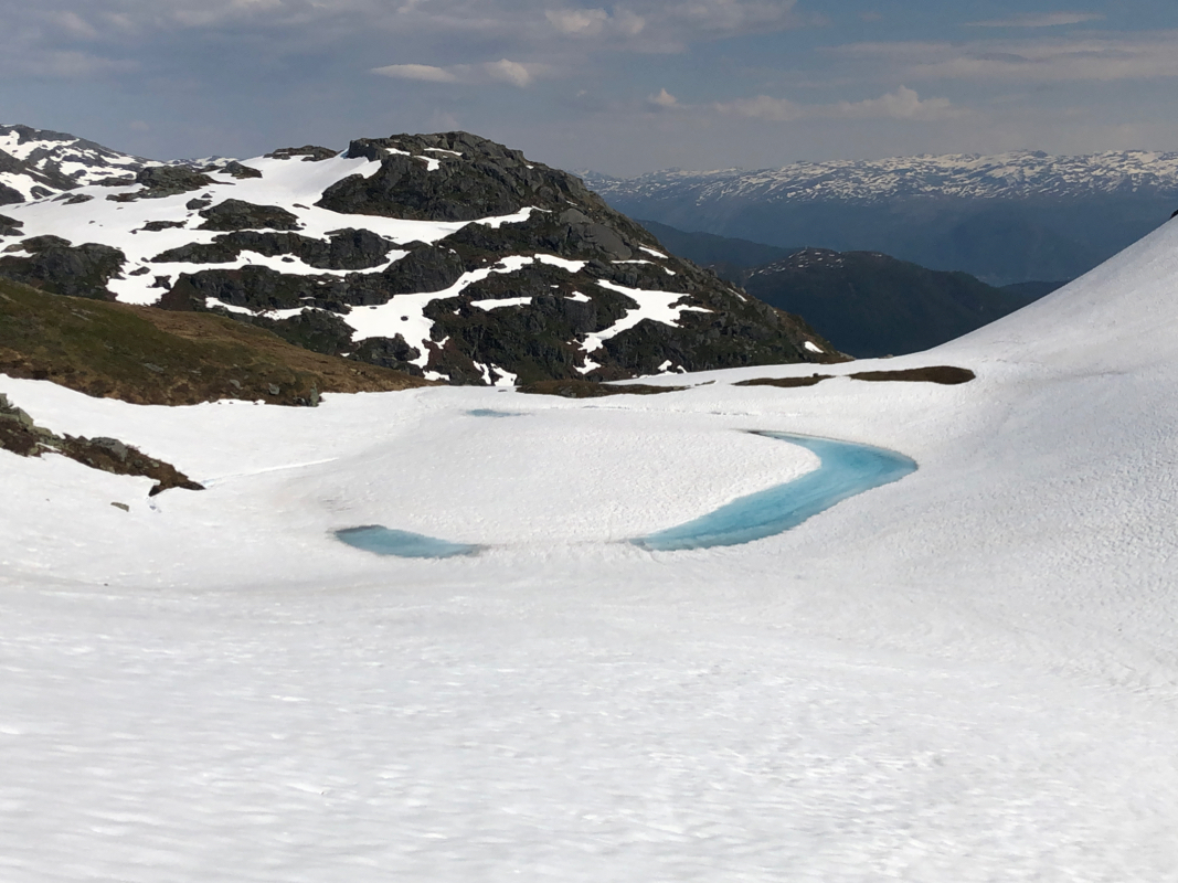
slope, then into the col west (left) of a small lake.
Finally, my last ascent of the day to the Ådni north summit. This summit has an elevation
of 1068.9 meter and the saddle is between the 970 and the 975 contour. Thus, it just misses a prominence
of 100 meter. The ascent was easy snow slopes
and I arrived on my last top of the day at 1625.
Descending to Vossadalen was easy, but no short-cut is possible, the cliffs on the east side are
steep and one needs to follow the main ridge down to the valley north of the lake.
There was still
a lot of snow, and this valley is subject to lots of avalanches. Most avalanches should have
released by now, but caution is still needed in this terrain. To reach the valley floor was easy.
To traverse all the avalanche terrain staying above lake Vossadalsvatnet, required more care.
Many streams were now coming down the cliffs, then running under the snow to the lake. I knew
some of these crossings could be dangerous, but still broke through in a bad place, a big
hole under me and a pretty good sized stream running steeply downslope about 3 vertical
meter below. I fell over backwards and crawled out of the danger zone. Puh, not nice at
all. To fall into such a creek could be very bad indeed. I moved carefully across a bit
further down, then proceeded.
I knew that I needed to cross the main river somewhere further downstream. The trail hopefully
crossed on a permanent bridge. A big avalanche had crossed the river higher up. The snowbridge
that had formed, looked pretty solid. Still, I opted for the bridge. If it was not there, I knew
that I could back-track to the avalanche.
The bridge was there, no problem and pretty soon my trail came back to the fork where
I had crossed going uphill. I tried calling Heidi to inform her that I would be late, however
no phone coverage. I continued back to my car, arriving there at 1945, almost 9 hours a pretty
complete day!