How to get there:
Take E-39 north from Bergen to Romarheim. Turn right here, the
road is signed with Modalen and Dale. Continue to Modalen, fork left just after
Modalen, this road runs into the valley, the right fork serves a tunnel to Eksingedalen.
Continue up Modalen to the small community called Farestveit. Turn left towards the bridge
that crosses the river. In winter, you need to park here. Ask the owner of the house for
permission to park. This location is N60.83918, E005.93947, elevation near 100 meter.
Route description:
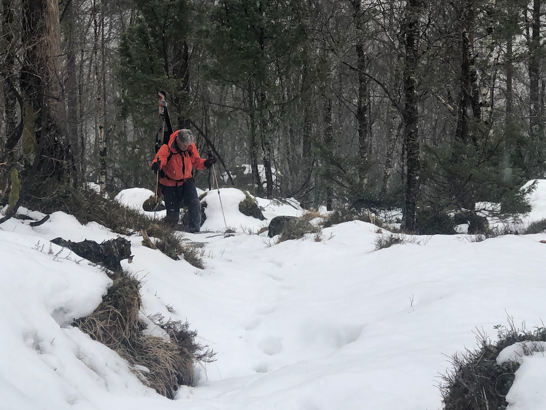
Cross the river and follow the forest road (left) along the river (downstream).
Follow this road about 700 meter, you should see the trail (crossing through a gate),
ascending to your right. Follow this trail
(marked with blue paint) uphill towards
Tringsstølen.
We could change to skiing mode at location
N60.84352, E005.92373, elevation about 340 meter.
Follow (on the right side) the small creek that comes down slightly east of north. This is
the right fork of the creek immediately above the previous waypoint at 340 meter.
Exit this small vally right near 500 meter of elevation and aim for location
N60.84859, E005.92458. From here, continue uphill while traversing a bit right in order to
reach the main ridge near location N60.85112, E005.93155, elevation about 710 meter.
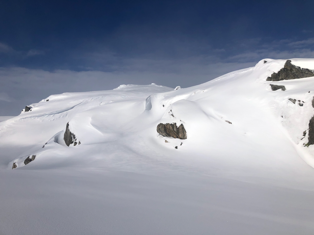
The steeper part of the ascent has been completed, continue up the ridge, staying a bit east (right)
of the first summit, then proceed towards the proper summit,
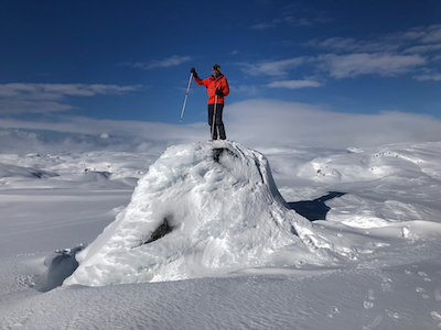
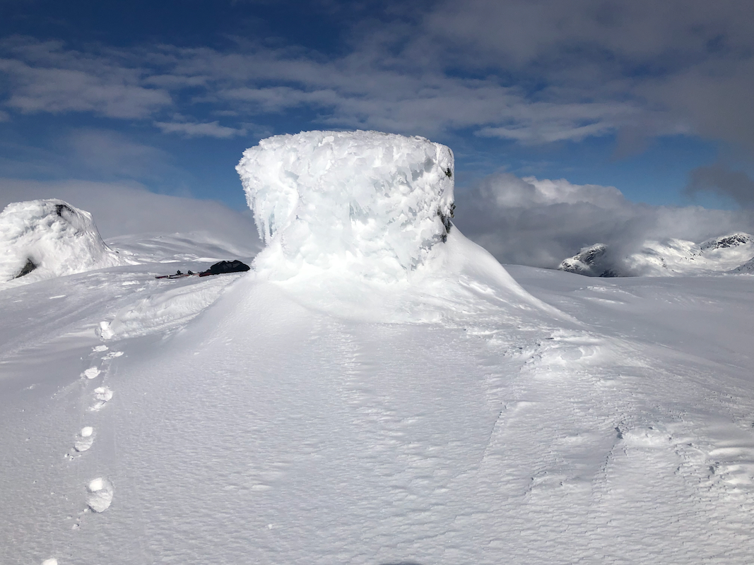
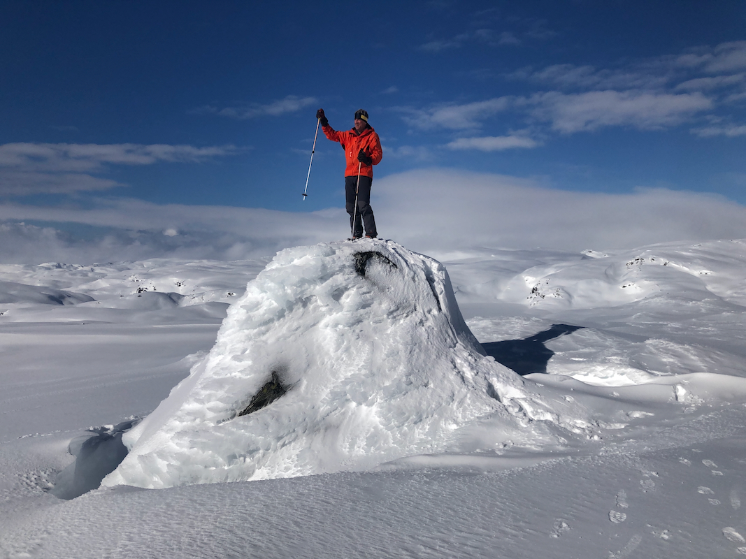
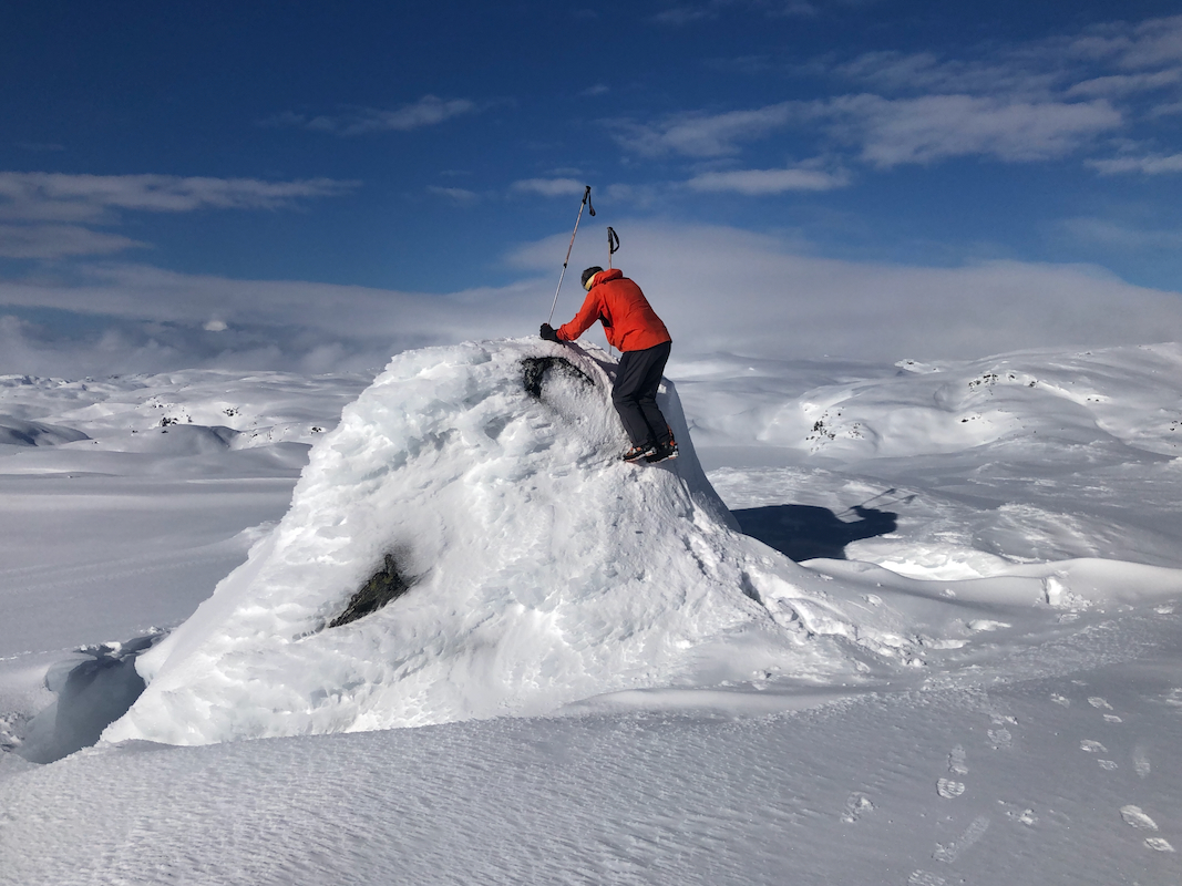
marked with a big cairn.
The highest point is on top of a pretty large boulder nearby.
Comments:
I did this trip with my friend Eric. We started walking at 1000, skiing at 1050, elevation about
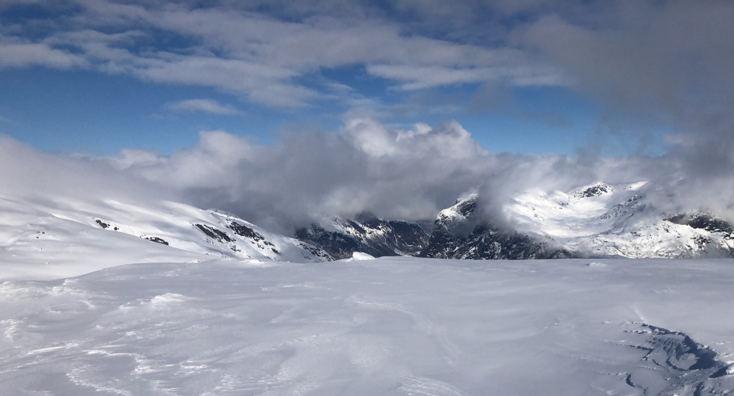
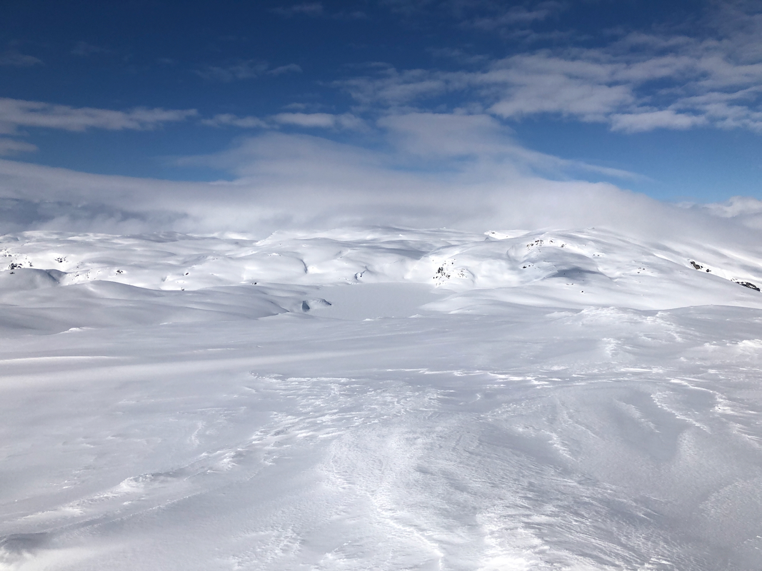
330m. The forecast promised sun, but we had fog and some precipipation, the fog got denser as
we ascended. We found a very good route up to the main crest, then more easily towards the summit.
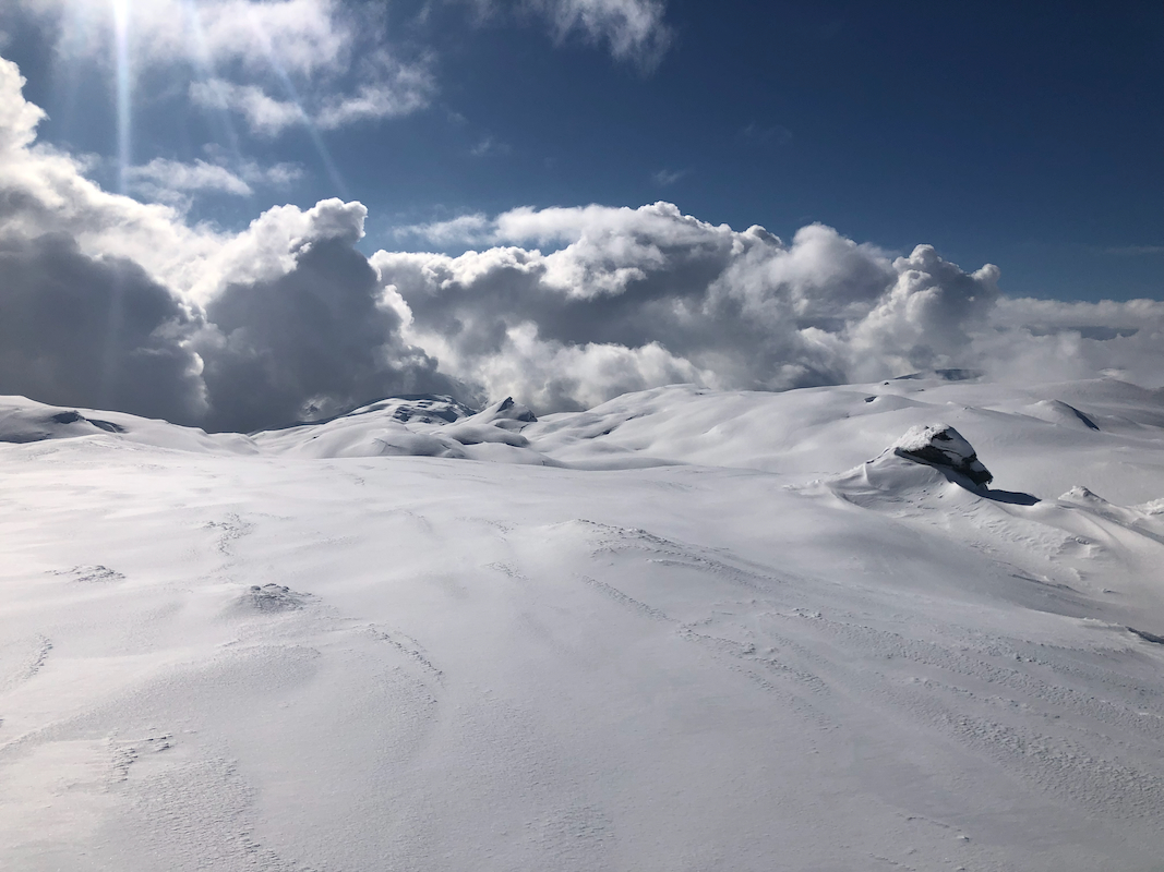
The fog/clouds gradually gave way and we had nice sunshine towards the end of our ascent.
Arriving on top at 1330, we enjoyed the views and
also climbed the highest point, a big
boulder nearby. Leaving at 1400, we had excellent snow at the upper part of the mountain, very
nice skiing indeed. Lower down, the sun had already impacted the snow and turning became a pretty
heavy game. We were back down to the walking part of the route in 45 minutes, then another 45 to
reach the car.
Many thanks to Eric for nice company. Overall, a very nice and memorable ski ascent.