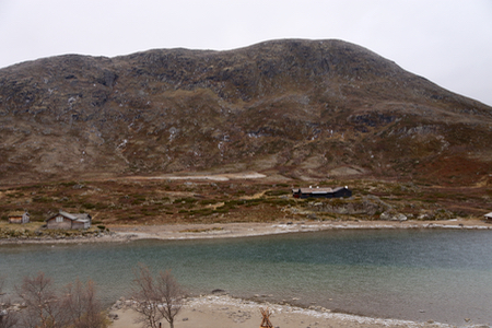
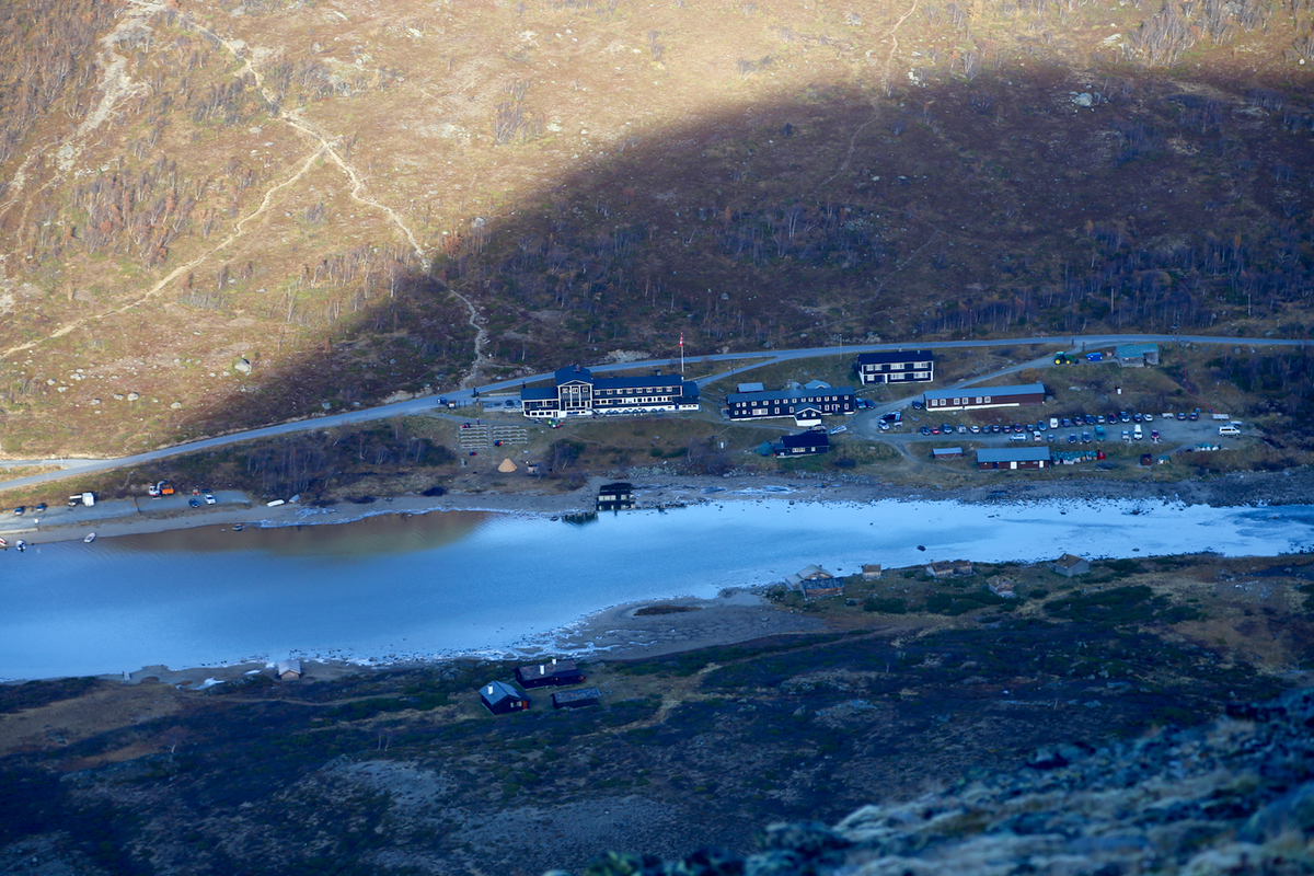
How to get there: Gjendesheim at the
end of lake Gjende is a good starting point.
Gjendesheim can be reached by car, driving Hwy. 51.
The location is N61.49450, E008.81221, elevation about 1000 meter
Route description:
The trail to this summit ascends from Leirungsbuin, south-east of the
peak. It traverses a bit west, then ascends from the south to a col west
of the summit. The trail bends back and ascends the summit ridge from west to
east, entering the shallow col just next to the summit, then a final, short
slope to the top. There are several cairns.
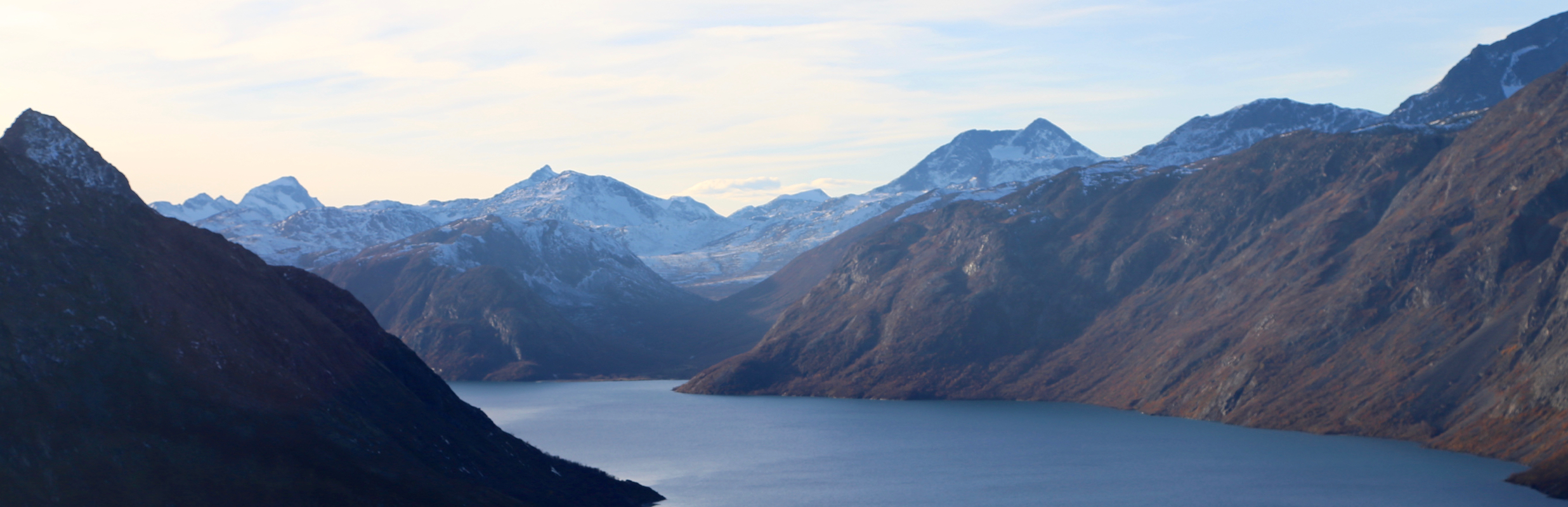
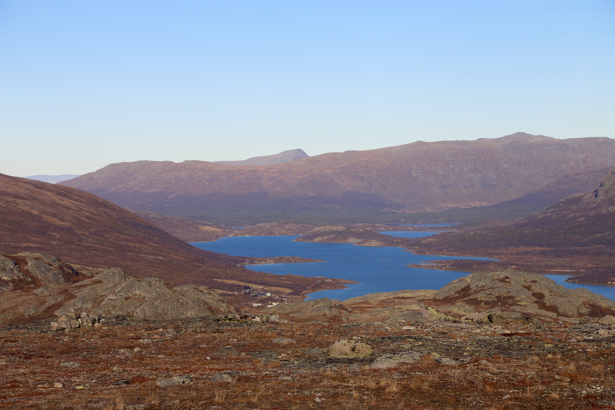
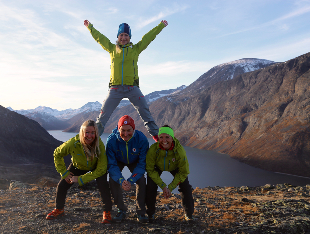
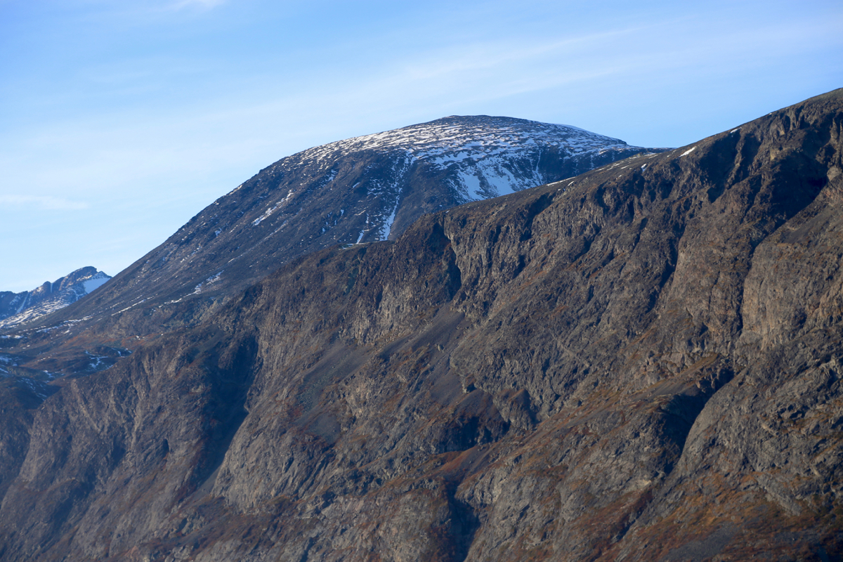
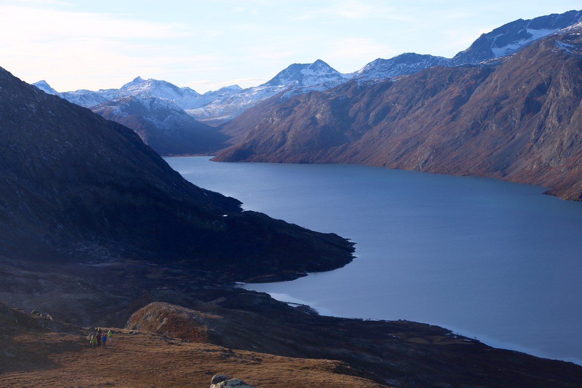
The summit has a pretty good view
across lake Gjende,
but also in other directions.
Comments:
I took part in a gathering and conference for DNT guides.
This trip was a short break from the program, in order to catch some
fresh air and enjoy the fantastic fall weather that we have had in Southern Norway
for 2 full weeks. We left Gjendesheim around 1500, had a short boat trip across
the river Sjoa, then ascended from the south-east.
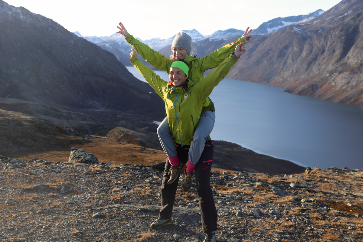
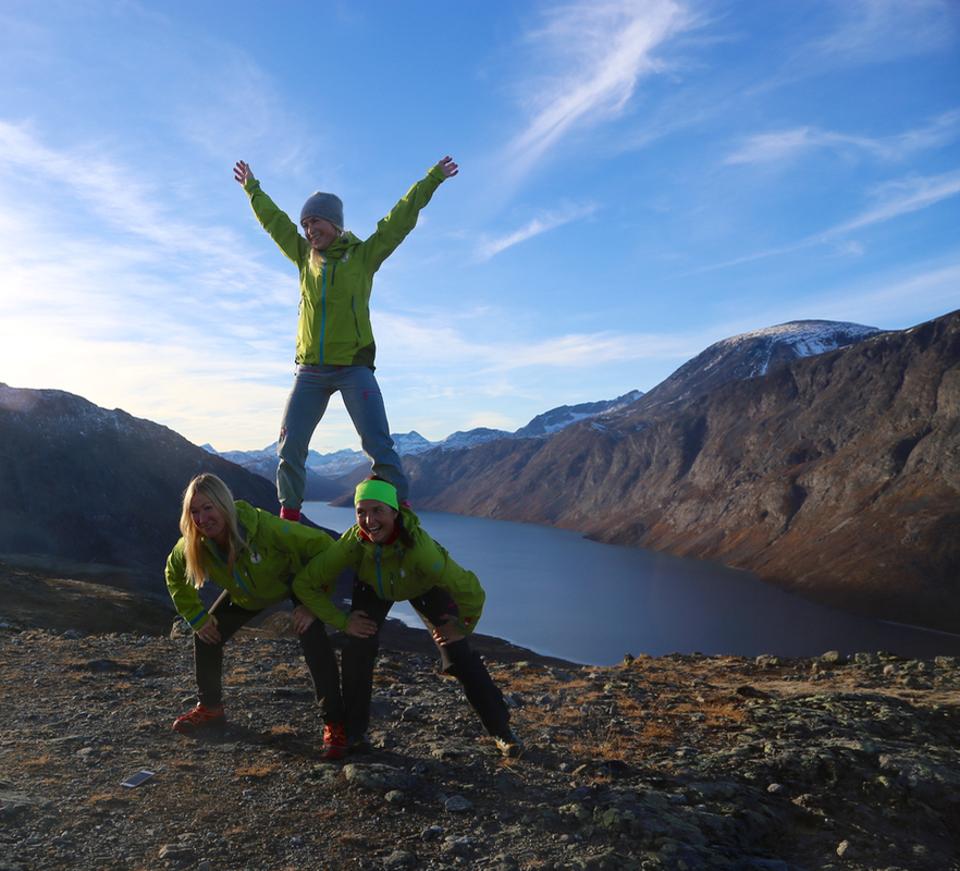
We were at the summit around 1600
and did some photos.
Descending to the west, we completed a traverse and circle, getting back
to Gjendesheim at 1710.