Location: North N60.90648, East 006.10753 (GPS on the summit)
Hordaland, Norway
Difficulty: (YDS) class 2
Climbed July 19. 2022
Information:
How to get there:
Drive E-16 from Bergen to Evanger. Fork left here and drive the very
scenic road up the valley and across the mountains to Nesheim in Eksingedalen.
Turn right and drive about 5 kilometer to Trefall. Take the pretty nice gravel road
that forks left here and gives easy access to the mountain area. This road was
built to facilitate the hydro power production system.
Find parking on the north-east side of lake Gavlavatn.
This road may be blocked by snow until very late in the summer, but one can normally
get quite a long distance already in July.
Route description:
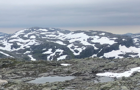
One can ascend this mountain going south or north of lake Gavlavatnet. I think the
route from the north side is to be recommended. See more details in the comments below.
Comments:
I did this climb with my friend Harald.
We had just been to Hornafjellet.
Thus, we went south on the east side of lake Øvre Sørdalsvatnet, then up
Skorvadalen. Here, we quickly ascended right (west) to gain the main crest. We then followed the
high ridge
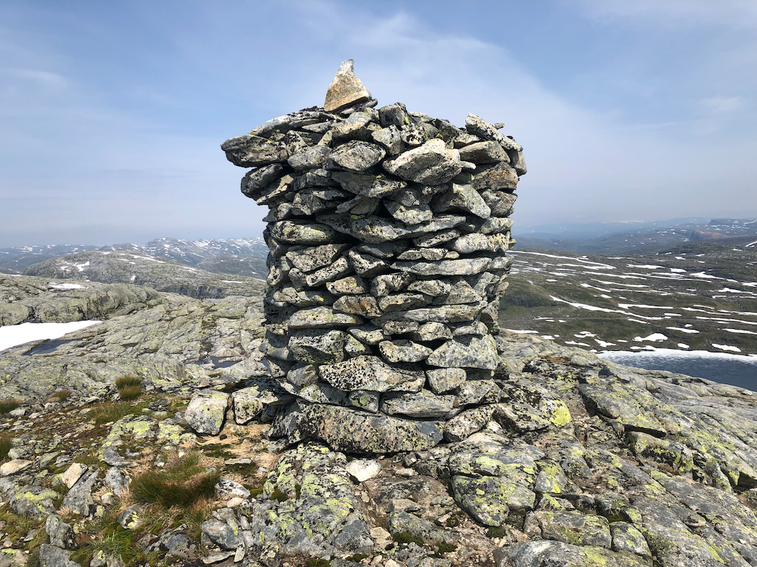
south to the nice cairn at the summit.
There are a few ups and downs along this fairly
rocky ridge, but overall quite reasonable.
We were at the summit by 1500, this was our 3rd. summit for the day. A rest was nice and
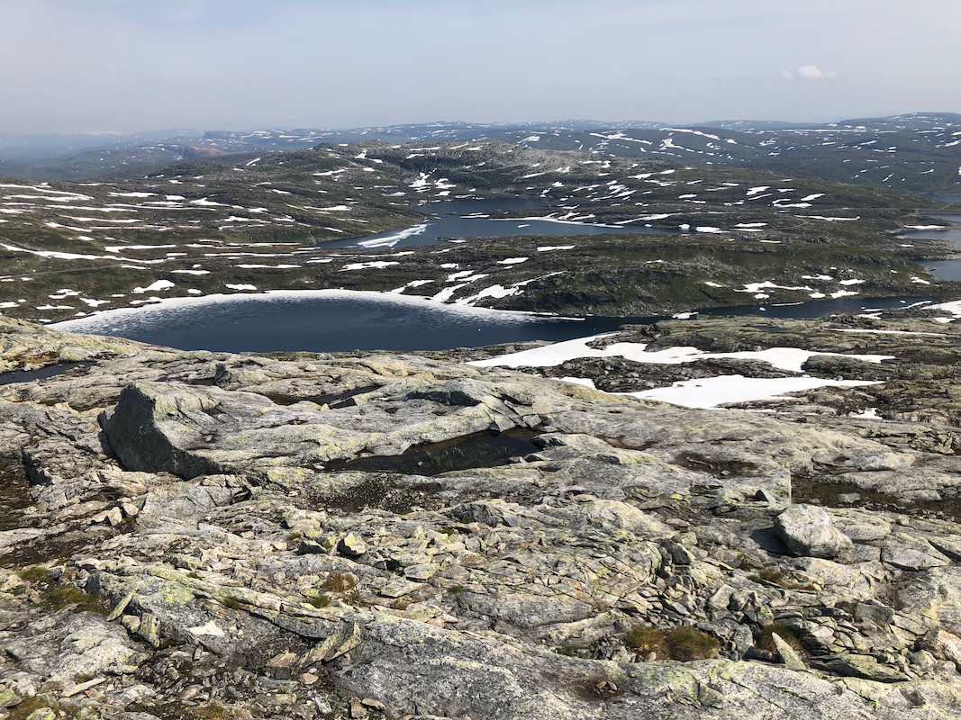
well deserved. Good views from this summit.
Leaving at 1510, we decided to descend directly to the south of lake Gavlavatnet.
Descending more or less directly got us into some steepish terrain with a bit
of scrambling. This could have been avoided if we had take a route slightly more south in
the beginning. The terrain has cliffs that run across the direction of travel, ie. the
cliffs run north-south. We crossed the creek (easy) and continued across the small
hump to our car. The descent had taken 50 minutes.