Location: North 62:08.924, East 012:03.903 (GPS on the summit)
Difficulty: YDS class 2
Climbed February 16, 2008
Information:
How to get there:
This trailhead is about as far east in Southern Norway as one can get. It is a pretty
long drive from most places, in particular, from Bergen where I live.
From the south, consult your map and pick a route that runs via Drevsjø or via
Koppang depending on your point of departure. From the north, you may drive via Tolga
or Røros. Either way, one needs to drive south of the big lake
Femunden, then north on its eastern side. The road ends at the small village of
Elgå located on the shoreline of lake Femunden. There is a nice lodge open
all year, highly recommended for its hospitality and a near perfect trailhead for
this mountain. The location is N62:10.021, E011:56.640, elevation about 665 meter.
Route description:
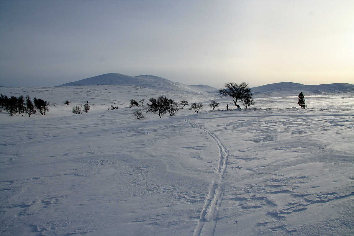
From the Elgå lodge, there is a prepared ski track that starts right next to the
building and heads into the forest. This track soon merges with a few other tracks, take the track
that leads gently uphill. There may be a sign saying "Mil-runden" or something similar. Follow this
ski track to its highest point where it crosses the small creek called Litlbekken just as it crosses the tree line.
Follow Litlbekken uphill, this will take you into the most natural route climbing perhaps slighly right
of the summit. This route is quite gentle and leads to the broad south ridge that subsequently may be
followed to the summit cairn. Comments:
I stayed at Elgå with my father about 40 years prior to this visit. We were hunting ptarmigans and walked
all over the area, however, I am unable to remember if I ever visited this summit.
This time, we arrived after a rather long drive all the way from Bergen. Despite this, we had actually
spent 5 hours climbing Vennisfjellet in Valdres along the way.
We drove by a sign saying that the Venabygdfjellet road was closed at night from 2000, potentially
bad news as the time was already 2030. However, the gate was open and we arrived at Elgå around
2315.
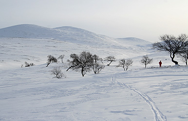
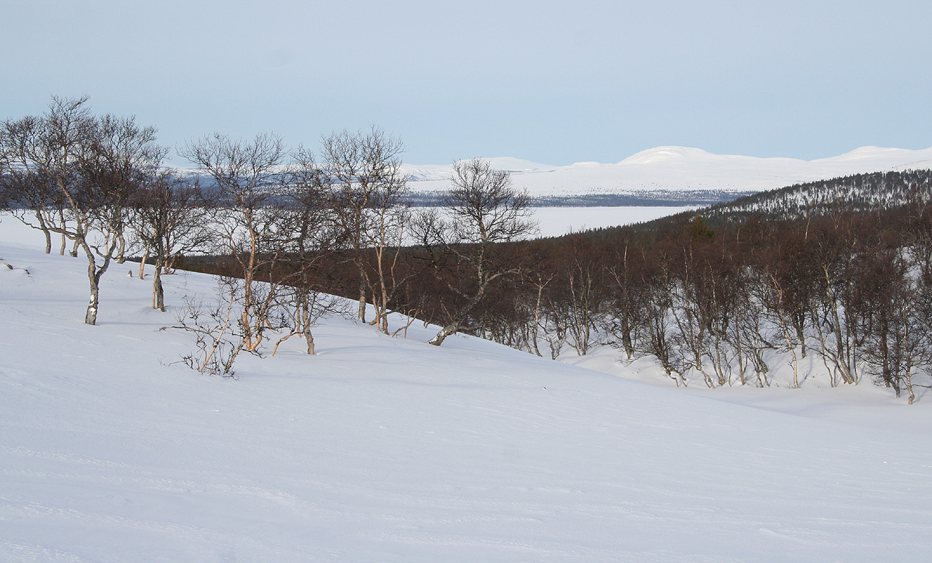
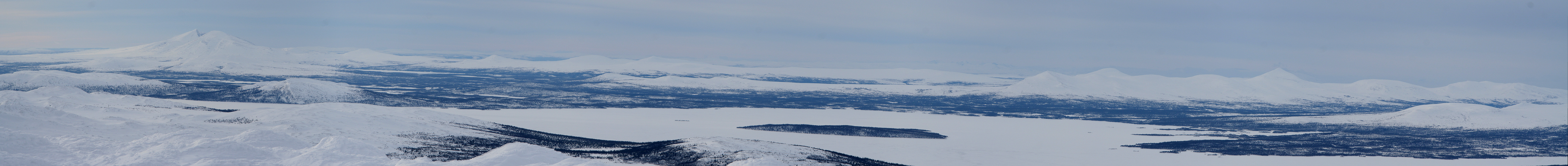
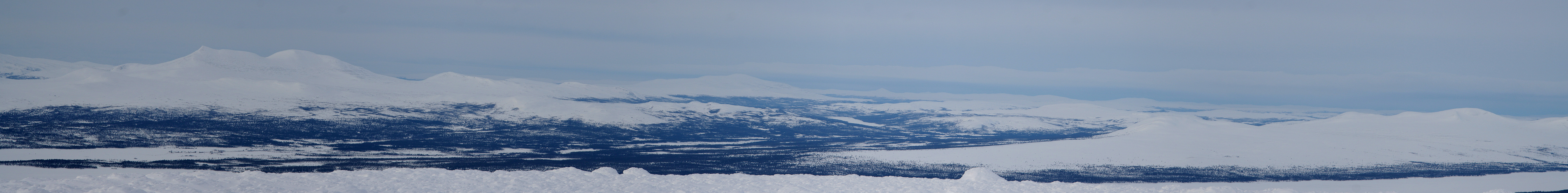
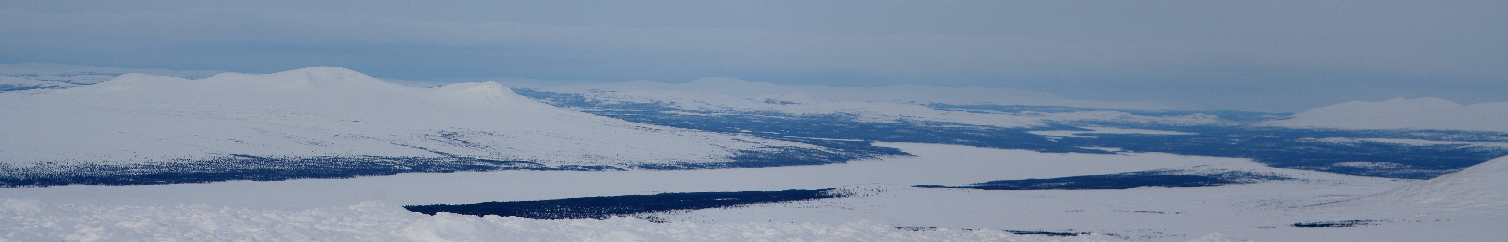
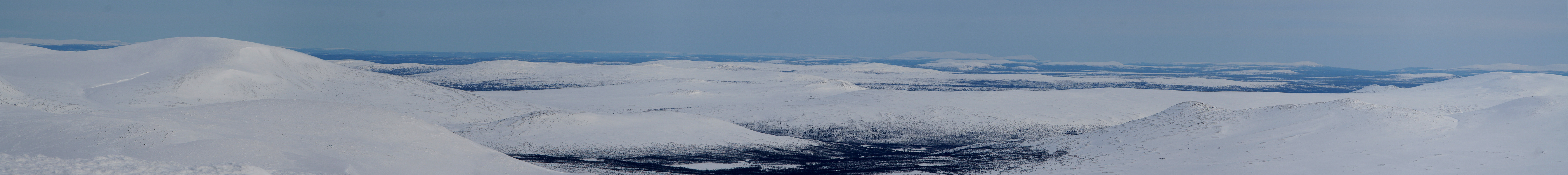
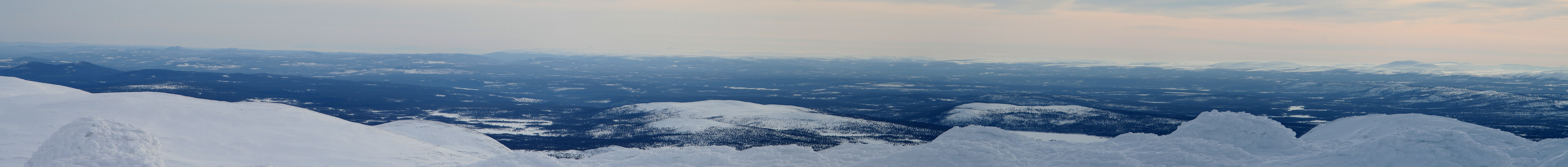
This area is quite nice for skiing. Large areas, sparse pine forest at the lower elevations. The terrain
formation is a gentle, rolling mountain landscape. A large wilderness area in Southern Norway. The landscape
reminds one of parts of Finnmark in Northern Norway.
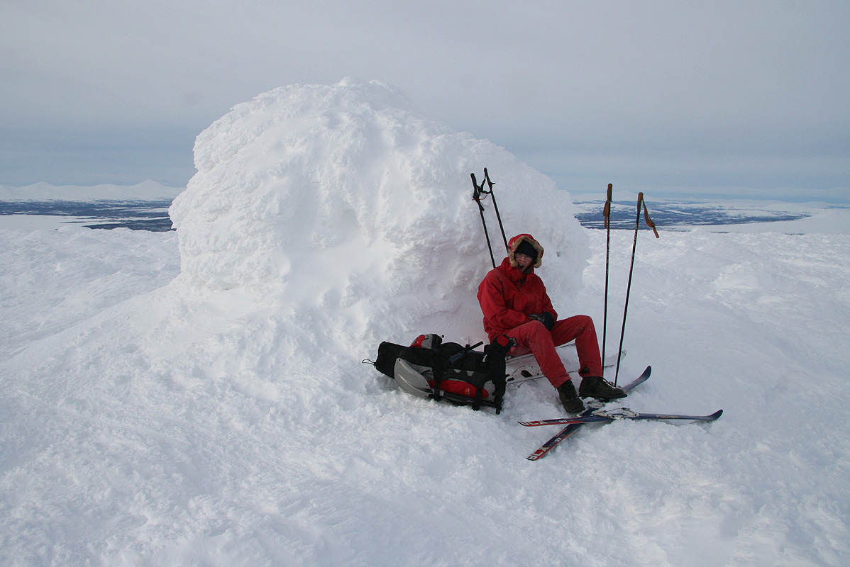
We started out at 1030 and arrived at the summit at 1250. It was rather cold and windy, so we started our
descent around 1305 and arrived back at Elgå in 40 minutes. Pål Jørgen found good snow
just below the summit and left some nice Telemark tracks on the slope. We enjoyed the local hospitality with
warm waffles and cloudberries, before saying farewell in order to
continue our trip with mountains
west of the Femunden lake.