Monte Calvo
- Monte Calvo
- 1065 m.
- Primary factor 961 m.
- Italy
- Location: North 41.72689, East 015.77244 (GPS at the summit)
- Difficulty: (YDS) class 1.
- Climbed July 27. 2017.
Monte Calvo
|
|
How to get there:
A point of reference is the town of Foggia near the east coast. Continue north-east to the
village of San Giovanni Rotondo. Navigate to the upper right corner of town (north-east side).
Locate the beginning of a road at location N41.70798, E015.73786, elevation about 590 meter.
Drive this road out of town (uphill). You will soon cross into a small valley where you have
the mountain up on your right hand side.
The road turns left (north-west). Continue until you
are close to a farm building (sort of ahead) and the ridge on your right ends. There is good
space on your right hand side for parking, as well as a sign - a pretty obvious trailhead.
A farmers road starts here. This is location N41.73193, E015.75068, elevaation about 800 meter.
Park here.
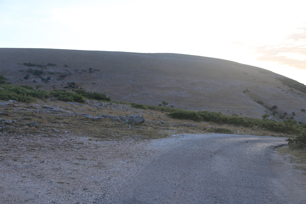
Route description:
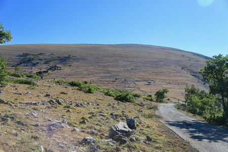
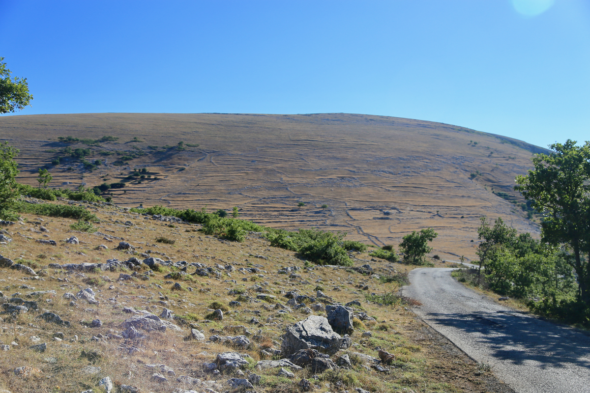
Start out following the farmers road along a fence. Quite soon, a trail forks right.
Take this trail, well marked and often with a small line of stones running on either side.
The trail ascends then runs more gently up along the left side of the main crest. You will
arrive at a trail fork. Both trails are OK, but the most direct is the one that goes right.
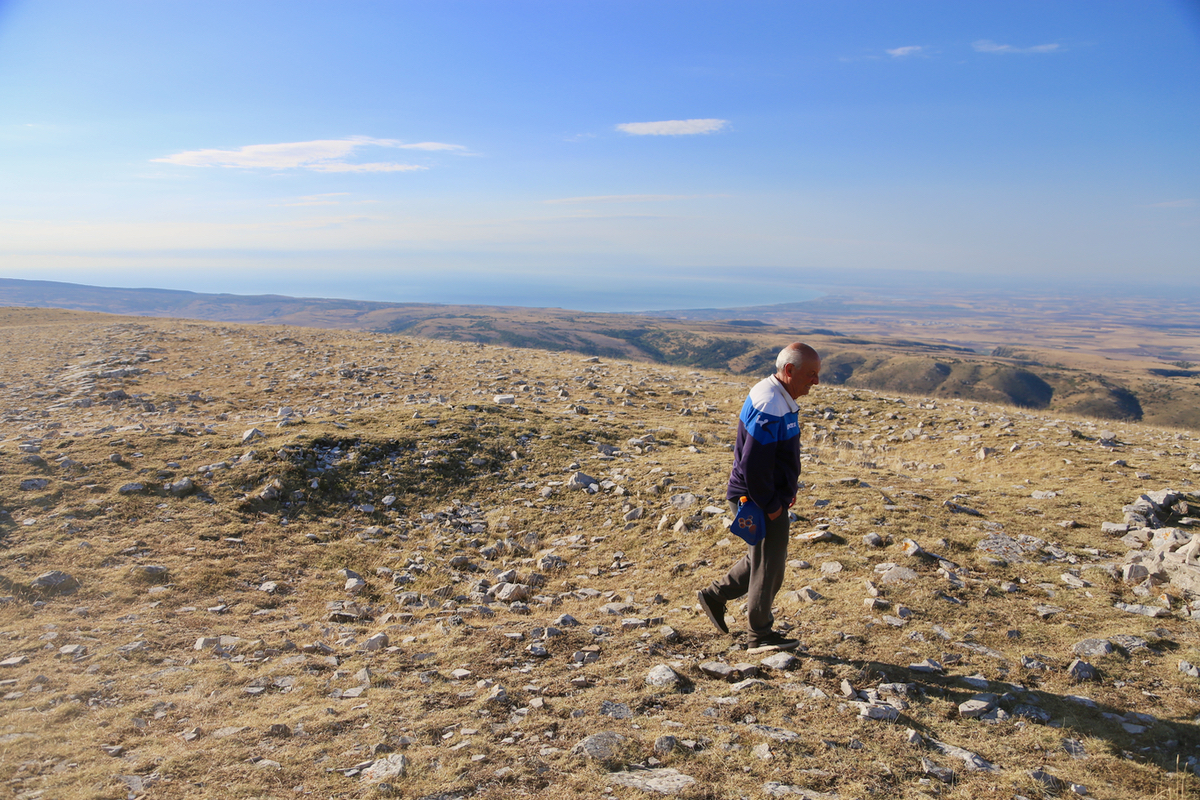
(see comments below). This trail will run out into the open, grassy landscape, there will be
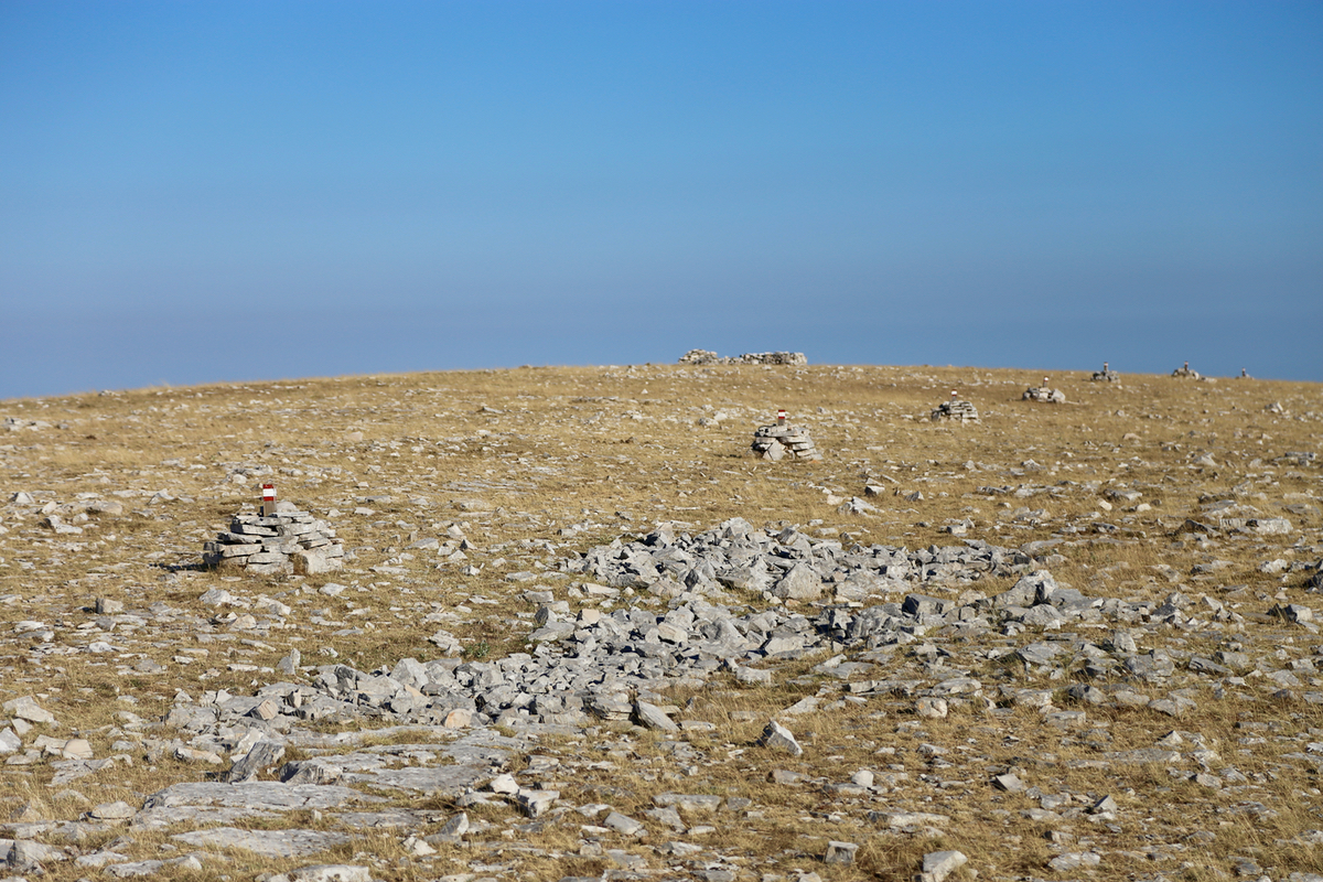
sections with stones running along the trail,
then cairns across the top, last section
to the summit.
Comments:
After an early mornig drive east, I arrived at the trailhead shortly before 0700 and could
leave at 0700. There was a clearly marked trail. When arriving at the trailfork, I decided
to continue straight. As it turned out, the other choice would have been slightly
shorter. I continued along, near the tree-line until a point where I could see that a
short-cut right would get me more directly to the summit. Thus, I crossed uphill in very
easy terrain, to reach the main summit point at 0740.
To my surprise, a single person was there, obviously a turning point for his morning run.
We politely exchanged a couple of words (in different languages), then he left.
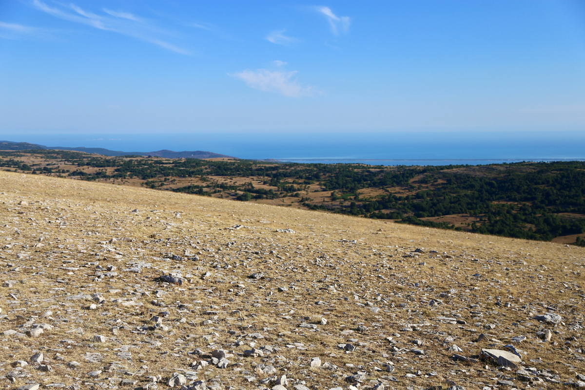
I stayed around 10 minutes, looking back down at
the coast both to the north as well as
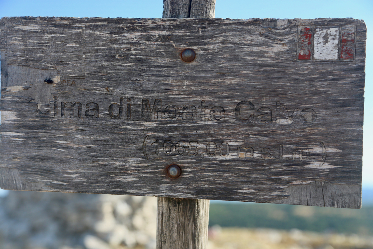
to the south. An
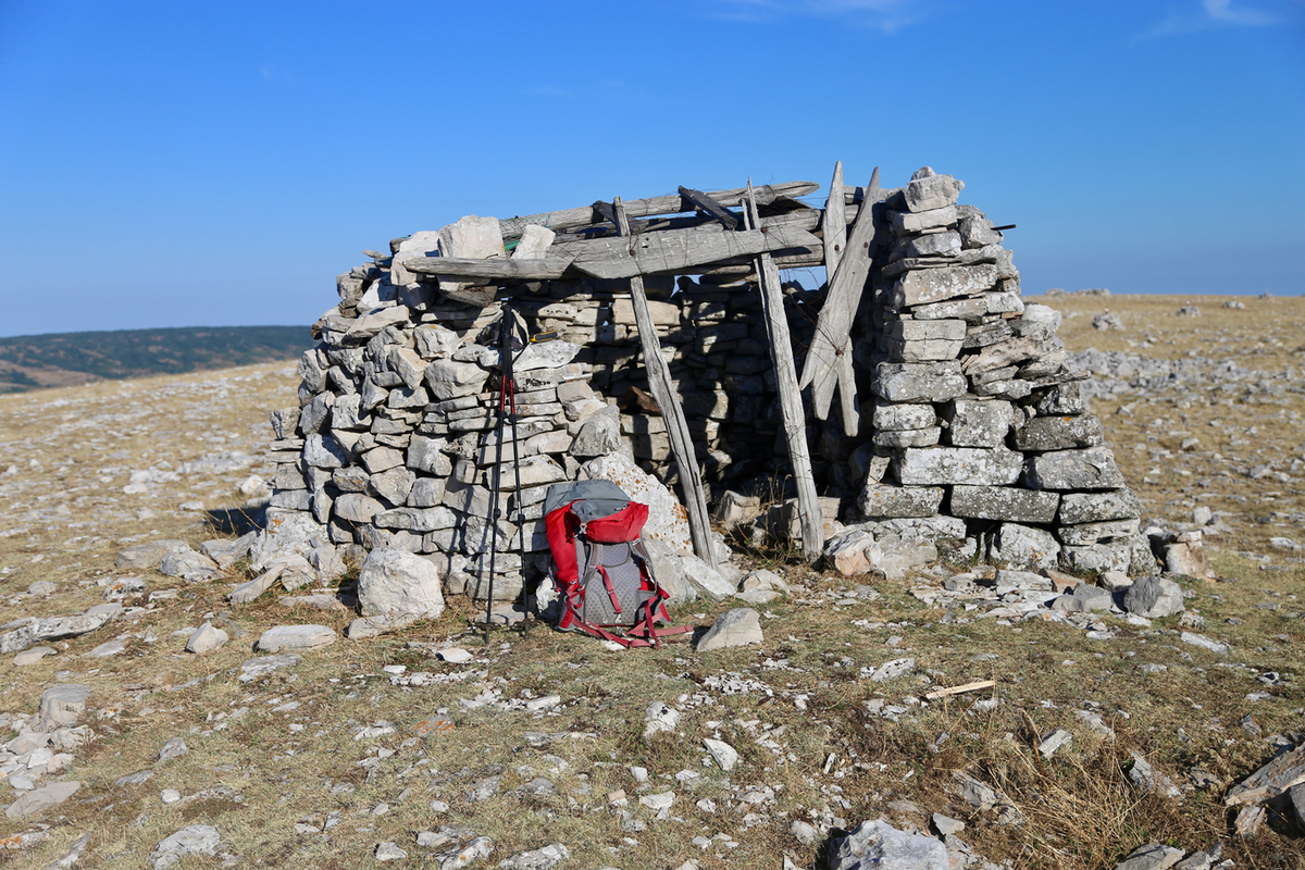
old wooden sign announced the summit.
Taking the cairned (direct) route back, this route passes a point which is
quite similar in height. I came back to the previous
trailfork and descended to my car,
the return taking 30 minutes. A very nice morning hike in a somewhat separate part
of Italy.