How to get there:
This trailhead must be approached from the west. I made a bad
mistake when asking Google to navigate to this trailhead. Google
tried from the north and got me into trouble!
Thus, first navigate to the location N37.92672, E013.67462, elevation
near 610 meter. This is a road intersection. Continue from here horizontally (east),
ie. not uphill. This road will get you all the way to the trailhead. It changes
from paved to dirt the last part, but this is a good dirt road easy to drive
for all cars. The trailhead
is located at N37.93617, E013.71533, elevation near
830 meter. A rough farm road forks right, there is a clear sign for San Calogiera.
One may park on the side of the road.
Route:
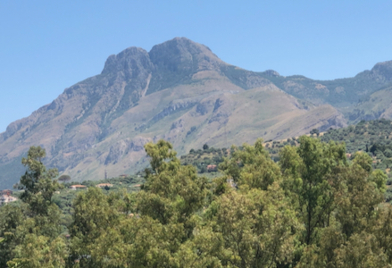
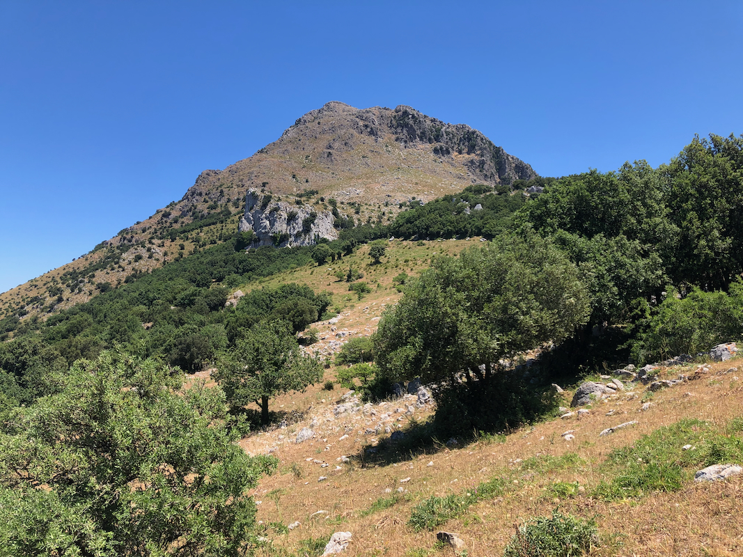
Follow the farm road as it climbs to the saddle south of the mountain.
A careful hiker may be able to follow a paint marked route (also cairns)
from here. I did not succeed and lost the trail here. There is also a fence
that must be crossed, one may pass (crawl) under in several locations.
The trail is pretty easy to find on the slope higher up as it ascends
going left (when looking uphill). The route is then very easy to follow once
you find it (above 1100 meter). The trail runs all the way to north-west
side of the slope. Here, the route ascends in a nice zig-zag path, it
is easy to see that work has been carried out to make this path a nice walk.
There are several small man made walls from rocks, supporting
the trail.
The upper part of the route contours back around on the south slope, then
circles east before gaining the summit area
next to a large solar panel.
There are two summit points, an old ruin and a small summit slightly (30-40 meter) more
south.
Comments:
I first wasted considerable time by coaching my car up an impossibly bad
road - thanks to Google! I did get closer to the trailhead, but finally
decided that this was all wrong and indeed pretty stupid. It then took
more time to get my car safely back down to what may again be called a road.
I drove around to the west side and quickly discovered the proper road - first
paved, then quite nice dirt. I parked off the road (on grass), then started
walking around 1100. The first part, leading up to the saddle is wide enough
to be called a farmers road, but very rough - a tractor may be able to get
at least part way up.
I tried to follow the paint marking, but still lost it in the saddle area.
The fence was passed by crawling under.
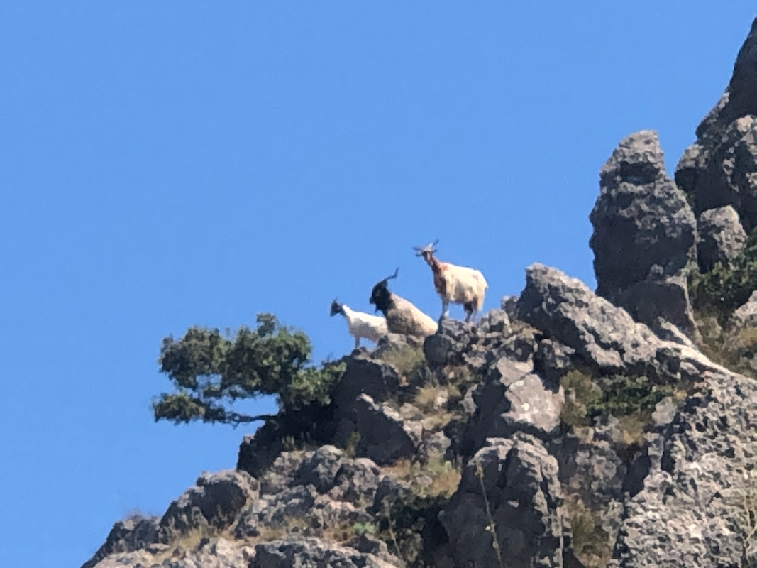
Higher up on the south slope, I spotted a few cairns and quickly regained
the trail. Up on my left,
3 mountain goats were looking.
From here to the summit, the route was easy to follow. I
arrived on top at 1210, so slightly more than one hour.
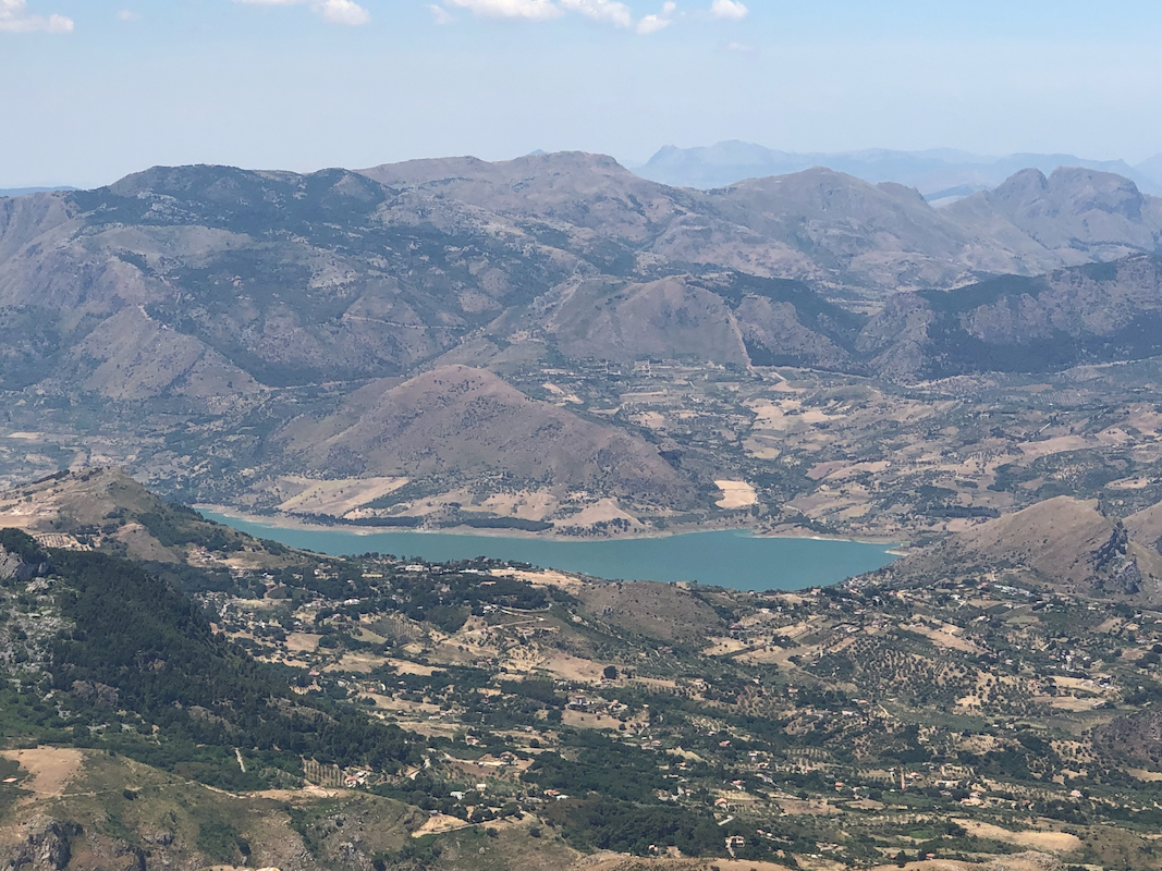
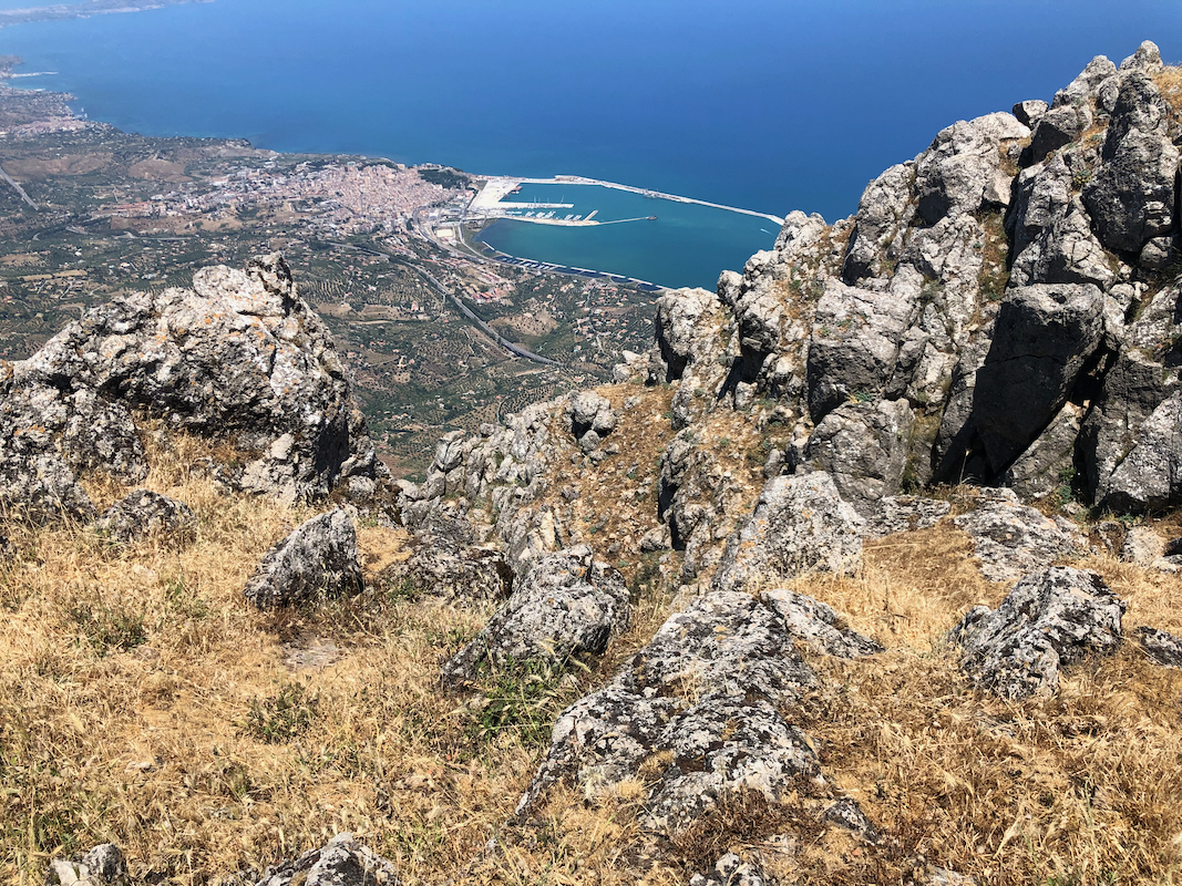
Good views all around. I rested and had some water, then started descending
after about 10 minutes. The descent was nice, I followed the cairned route
quite a bit longer downhill before loosing it again. I bushwacked down
some cliffs with vegetation before entering the col area. Next across and
down the tracktor track, arriving at my car one hour after leaving the top.