Location: North 39.68659, West 123.57966 (GPS at the summit)
California
Difficulty: (YDS) class 1
Climbed March 3. 2018.
Information:
How to get there:
Locate the small town of Laytonville, a bit more than 150 kilometer
north of Santa Rosa along Hwy. 101.
In Laytonville, turn left onto Branscomb Road and follow this road
2.3 miles. Exactly where this road makes a 90 degree bend (south), a smaller
road called Cahto Drive, forks right. Take this road. After a short drive
you should see a sign confirming that you indeed are on Cahto road.
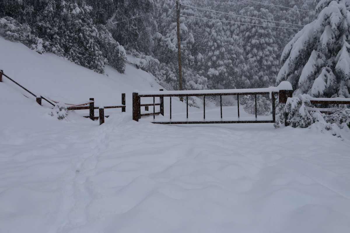
This road heads uphill and climbs to location N39.68493, W123.57447,
elevation about 1150 meter, where there is a (locked) gate.
Note that snow (see below), may prevent you from driving all the way.
Route description:
If starting lower, complete the hike to the gate described above. Next, follow
the road as it climbs in a big bend to the summit. If starting from the gate,
this hike is indeed very short. There
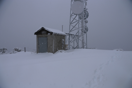
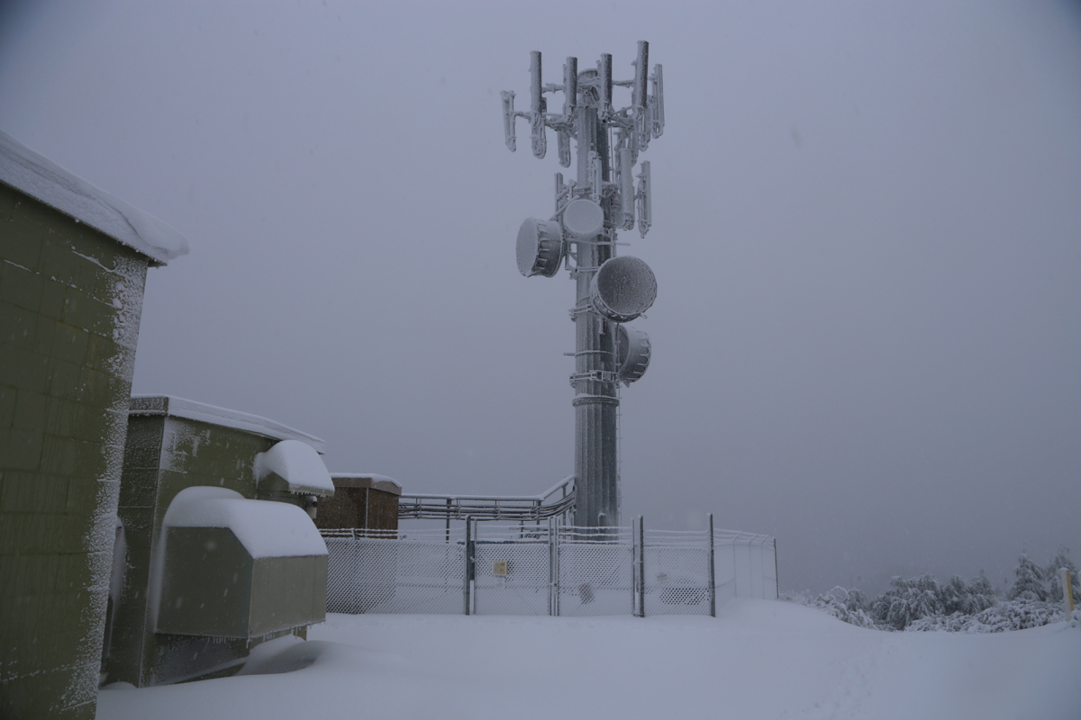
is a communication tower near the summit.
Comments:
I drove from Palo Alto the previous afternoon. Th weather was pretty bad
and as I got north of Ukiah it started snowing.
The next morning my car was covered by snow and I quickly realized
that I most likely would not be able to drive to the trailhead.
It remained to be seen how long this hike would be.
I drove up the narrow and snow covered road until the car could not
make it any further. This was at location N39.67210, W123.53931, elevation
about 740 meter.
I started my hike at 0645. A big truck had made some tracks further uphill and
to walk there was definitely an advantage.
I got to the gate at 0800,
so 1:15 of walking in snow to reach the
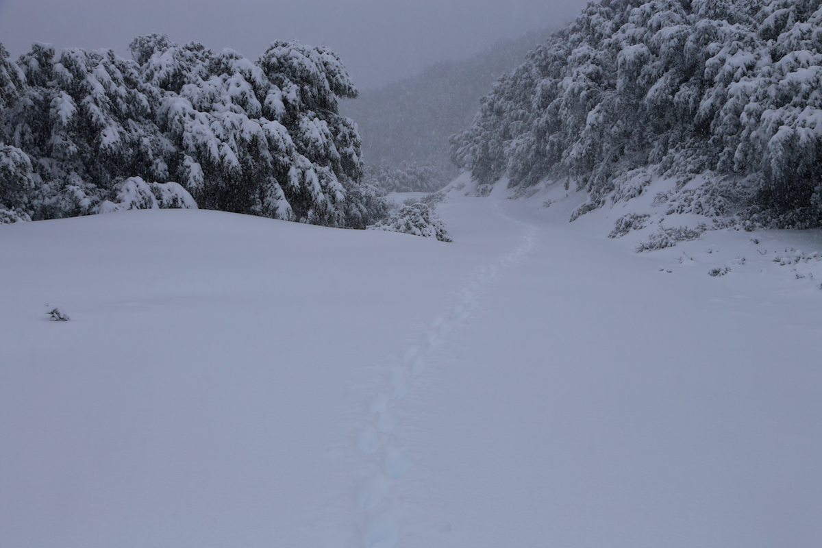
"official" trailhead. The remaining hike
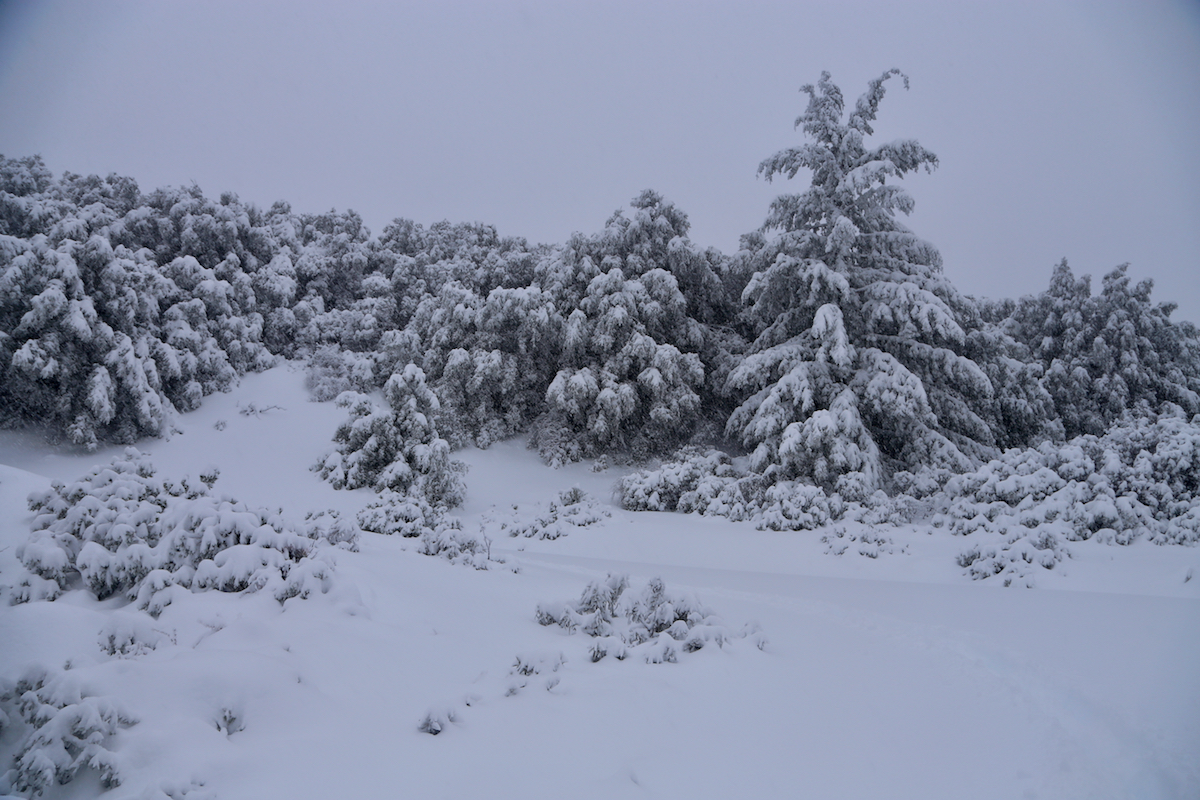
was short, but the snow was
knee deep. Progress was
slow, it took 45 minutes to complete the climb.
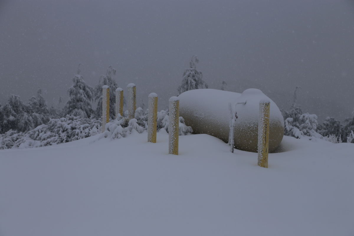
The summit had various communication equipment.
It was snowing and the
visibility was limited. I
walked around to several locations that seemed
equally high, then after about 10 minutes, I started the trek back down.
This was much easier, as expected, I reached my car in 50 minutes.