Location: North 60.82261, East 006.37681 (GPS at the summit)
Climbed April 23, 2016.
Information:
How to get there:
Drive from Bergen to Voss and onwards towards the ski area Myrkdalen
and Vikafjellet (Hwy. 13). As you drive out of the valley, the road climbs
in switch-backs to ascend Vikafjellet, continue a short stretch until you
have the distinct valley, Sendedalen,
(going south) that separates Finnbunuten from Grøndalsfjellet.
There is a turnout on your left hand side, location
N60.91113, E006.44523, elevation 900 meter.
Route:
This route starts going south up the very gentle Sendedalen.
You cross lake Kringlavatnet, 916m, but then continue directly
south uphill, rather than crossing lake Holmavatnet.
Stay west of south and ascend the very gentle valley towards the
col at the upper end called Rjupeskaret. Instead of getting into
the col, ascend the ridge (1212m) on your left. Continue straight
south ans ski down the ridge to the saddle, this slope is quite
smooth and easy all the way down. From this saddle, continue up
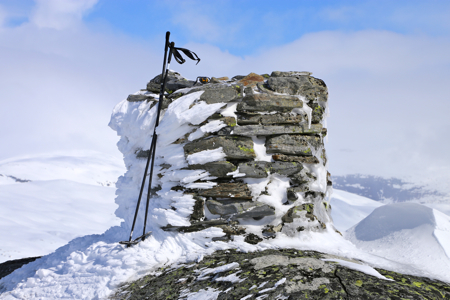
the ridge, directly to the summit of Blåeggi.
Comments:
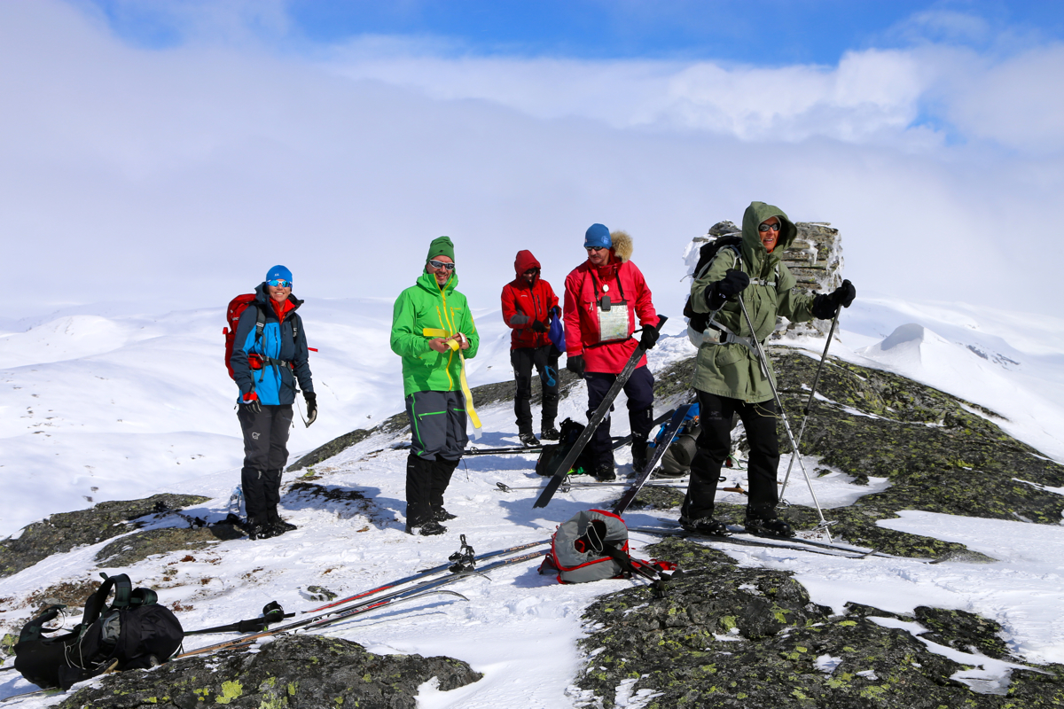
This was a trip organized for Bergen Turlag. I was trip leader together
with Fredrik Brun. The trip is about 40 kilometer long and climbs about
1300 vertical meter across 4 summits. The summits are (in sequence),
Blåeggi, 1172 meter,Skreieggi, 1324 meter,Storebrekkuna, 1319 meter, and at the end,
Lønahorgi, 1410 meter.
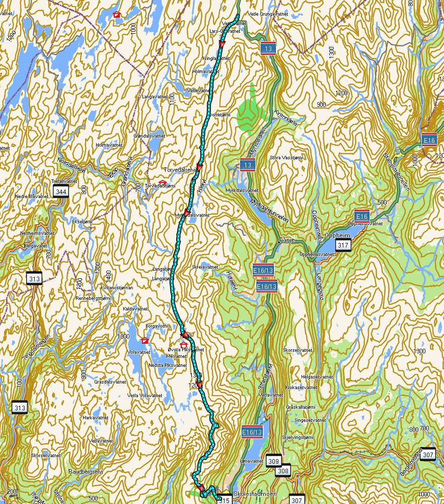
Here is a map with the route we followed.
We started at 0930 and arrived at a bus stop in Bavallen at 1900.
The group counted 11 participants plus Fredrik and myself.