Location: North 59.80675, East 006.94723 (GPS at the summit)
Haukeli, Norway
Difficulty: (YDS) class 2
Climbed March 29. 2014.
Information:
How to get there:
Locate highway E-134 connecting Haugesund (south of Bergen) with
Telemark and Oslo. The main tunnel (more than 5 kilometer long) on this
mountain crossing is called Haukelitunnelen. A good starting point is the
turnout at the west end of this tunnel. This turnout is at location N59.83919, E006.98871,
elevation about 1090 meter.
Route description:
Ski a short distance along the (closed) summer road, then descend to your
right and cross near a lake, elevation about 1030 meter.
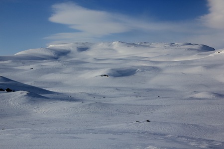
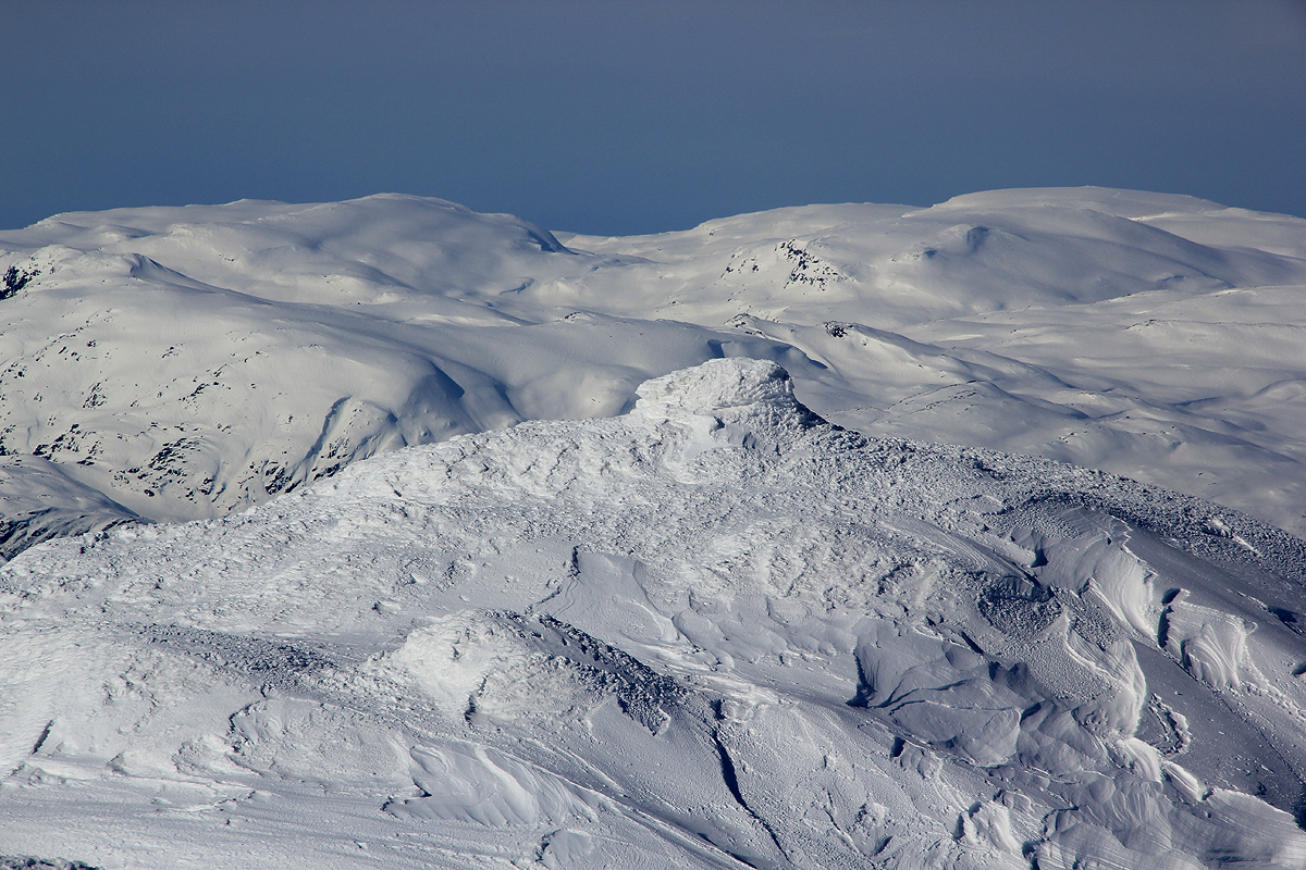
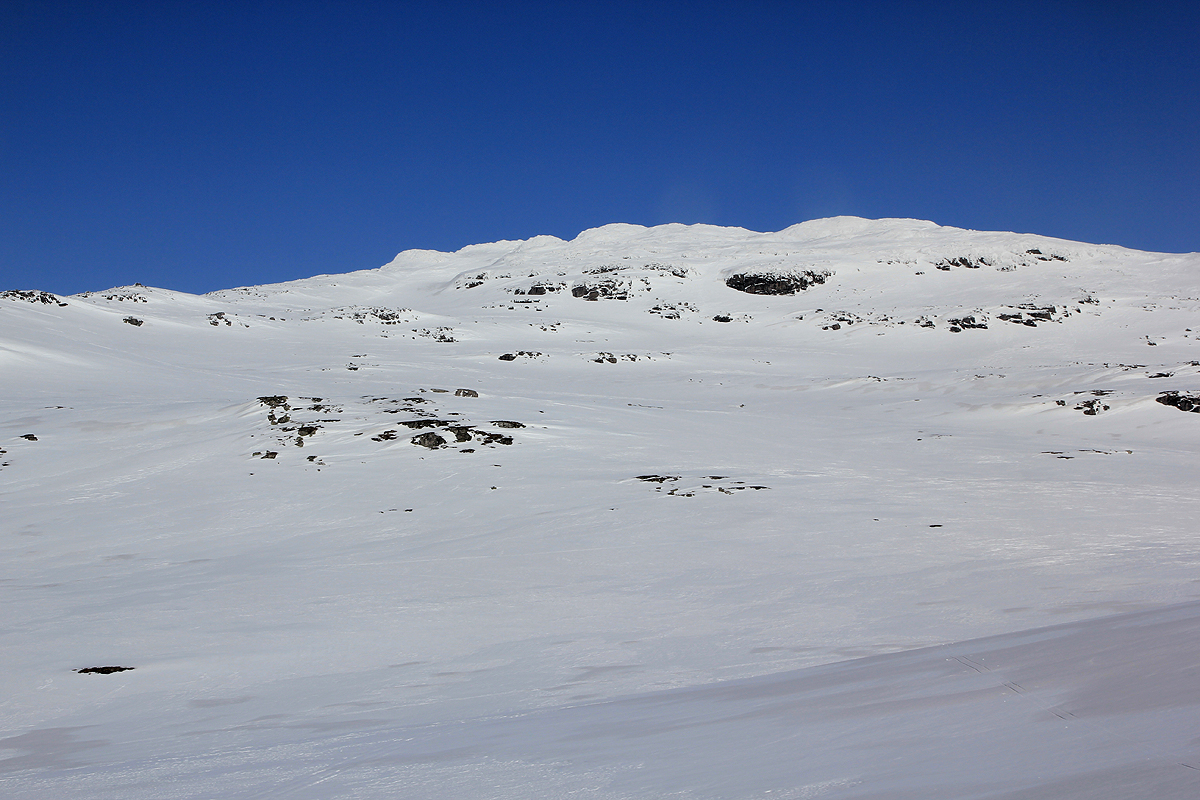
From here, it is basically uphill. There are many variants, most of the slopes
are safe to ski. Near the summit, there is a flat section, then possibly best
to climb the final hill a bit to the left (east) of the summit.
Comments:
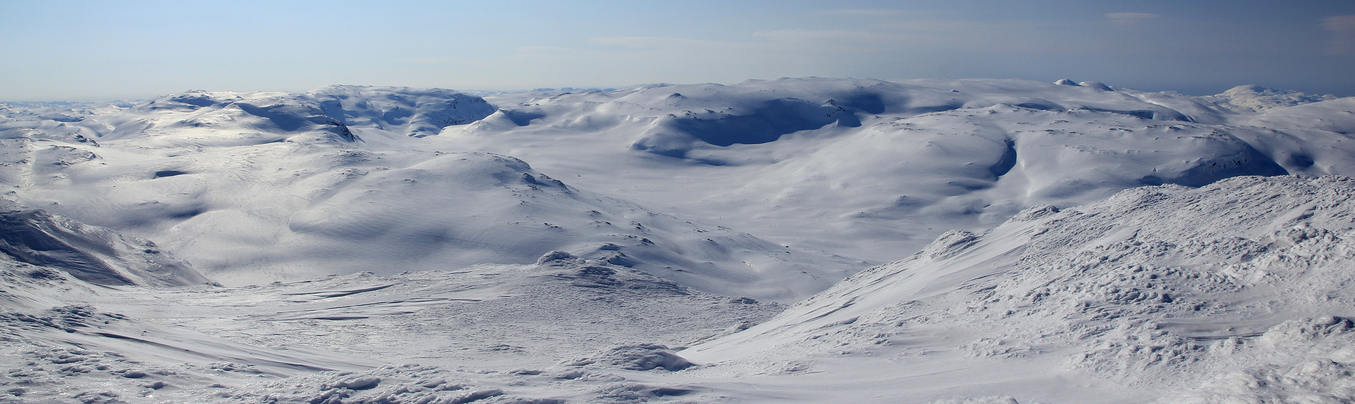
I started out at 0900 and had a nice sunny day climbing this peak.
The climb took slightly less than 2 hours at an unhurried pace.
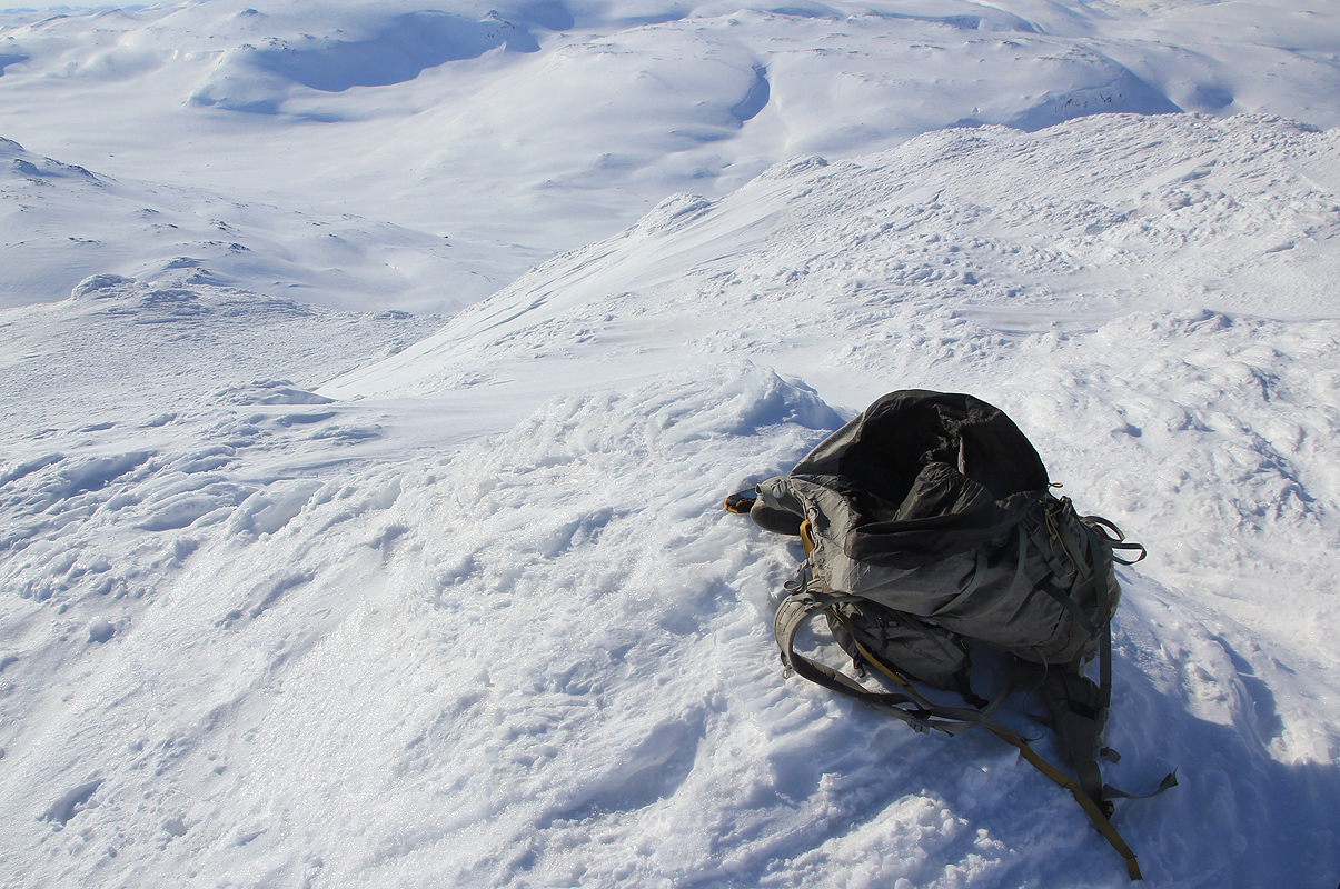
There are two summit points right
next to each other. It appeared that
the summit with a cairn, perhaps is sligtly lower.
I did visit both points.
From here, my trip continued to Breifonn.