Location: North 68.40589, East 017.57410 (GPS on the summit)
Difficulty: YDS class 2.
Climbed September 13. 2019.
Information:
How to get there:
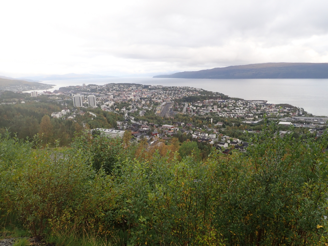
This mountain is located directly uphill from the city of Narvik. In fact, one could
start the hike from the city. Locate the place where Hwy. E-6 crosses the railroad (this is
in the city). Head uphill from here, pass through some residental area and park near location
N68.44061, E017.46965, elevation 200 meter. This is the trailhead.
Route description:
Continue the gravel road that leads uphill. It turns into a walking path (wide trail).
Follow this to a small dam (small lake). Do not head uphill, stay left at forks and follow
the walking path (do not enter a smaller trail), as it traverses left. You will eventually
get to location N68.44626, E017.51003, elevation 280 meter, where there is a fork. Go right
(slightly uphill) here. Follow this big trail as it will climb towards lake Forsnesvatnet
(elevation about 630 meter). Before reaching Forsnesvatnet, take the left fork that heads
towards the lake Isvatnet. You will see a fairly steep ridge coming down between the
two lakes (You will never see lake Isvatnet as it is higher up). Take a much smaller
trail that ascends this ridge from its left side (as seen from below). This trail is faint,
but it is marked with some red "T" higher up. The main purpose is to get you onto the ridge
proper above the steepish cliffs near its end.
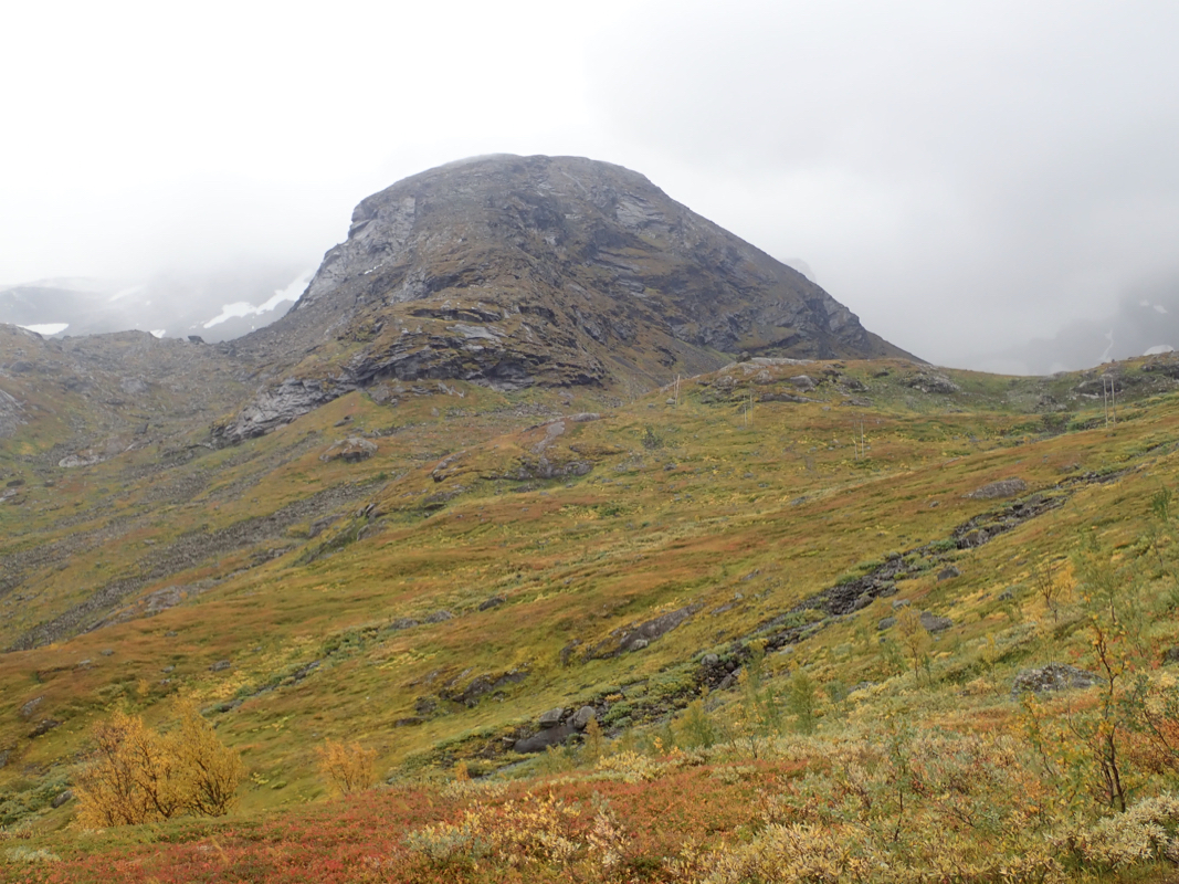
Follow the ridge uphill, the route is marked with cairns. There are lots of slippery (if wet)
talus here. Care is needed. The ridge will eventually get much more level and at the same time,
broaden. Traverse right, staying roughly at the same elevation until you approach the final
slope leading to the summit. There are several variants that will work. The summit is at
the edge of a steep cliff, so be careful if there is no visibility.
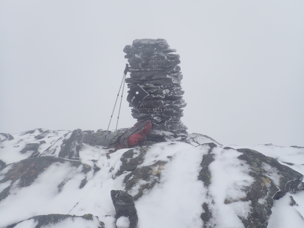
The cairn is about 2 meter high and there is a summit register attached in a mailbox.
Comments:
I had a flight toBodø then drove north to Narvik. In fact, I continued to my
favorite DNT hut in the area, Skoddeberghytta. The next morning, September 13th., I left
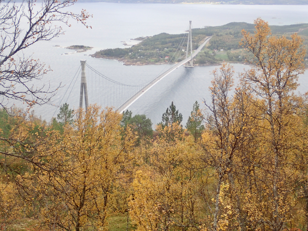
early and drove back to Narvik. The new bridge had opened since last time I was here,
the distance to Narvik is about 20 kilometer shorter. I left the trailhead already at 0720 and
quickly arrived at the small dam a bit uphill. Here, I took the uphill trail, big mistake.
I discovered this quite some ways uphill, then did a one kilometer traverse left in order
to connect to the correct trail. I ascended the ridge, it was wet and slippery. This should
only get worse as it started to snow. I navigated across to the peak in a complete white-out.
By then, the weather was quite nasty, wind, snow mixed with hail and no visibility whatsoever.
I arrived at the cairn after roughly 4.5 hours. Descending was easier, but more care
was needed due to the now pretty hopeless conditions.
I was back down after 3.5 hours, As is often the case, the conditions improved as soon as
I was below the ridge.
