Location: North 59.86568, East 006.22773 (GPS on the summit)
Kvinnherad, Norway
Difficulty: (YDS) class 2
Climbed June 9. 2021.
Information:
How to get there:
From Bergen, drive to Gjermundshamn and take the ferry across to Årsnes. Turn right
and drive through the small village of Rosendal. A few kilomter after Rosendal, turn left
onto the roaad signed for Åkra. After about 10 kilometer on this road, turn left onto
a smaller road having signs for ski area. Continue along the main branch of this road
up the valley. North of Brandvikvatnet at elevation near 625 meter, turn right and descend into
the valley before climbing back out on the oppossite side. Follow this road until it ends
with good parking. This location is
N59.88662, E006.18520, elevation about 730 meter.
Route description:
Take the trail that starts at the parking (signed for Eikemo). Cross a narrow passage in the lake,
the trail forks marked with a wooden pole and a sign saaying Alvaldsnuten. Take this (right) fork and
follow the trail as it curves around the
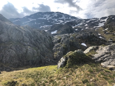
east side of the lake, then crosses a couple of creeks. Leave the trail here and head gently uphill
directly south. Stay below the steeper terrain on your left, but continue to gain elevation as you
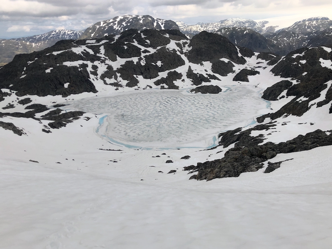
turn into the pretty distinct valley with two small lakes at elevation near 960 meter. Continue up and
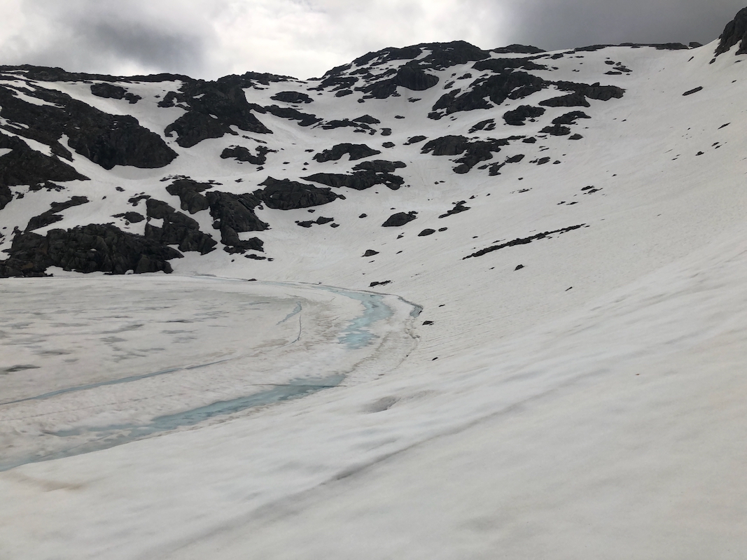
into the more narrow section of the valley and proceed
up the large slope above lake 1020m. From the top
of this slope, the remaining distance to the summit is quite short.
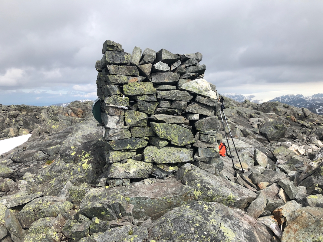
There is a nice cairn
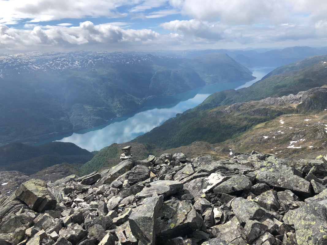
near the steeper part overlooking the fjord Åkrafjord,
Note that the highest point is
located about 20 meter away from this cairn.
Comments:
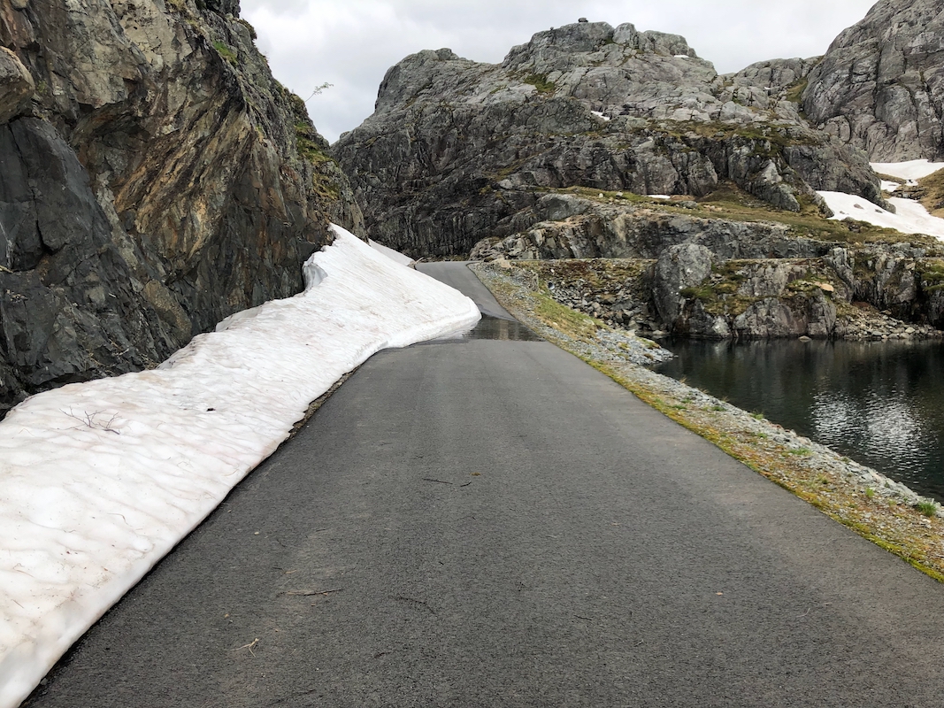
I had a nice drive from Bergen. The road to
the trailhead had melted out (almost). Very nice
summer weather in the past week musst have contributed. It is likely that I was one of the
first to drive to the end of this road in 2021.
I started at 0920 and followwed the trail as it curved around the lake. It certainly did
not look like it would lead to the summit,
I therefore left the trail and headed gently uphill
to locate the distinct valley that connects up to lake 1020. Snow on the ground from here and
all the way to the summit. I arrived after 1:55, at 1115.
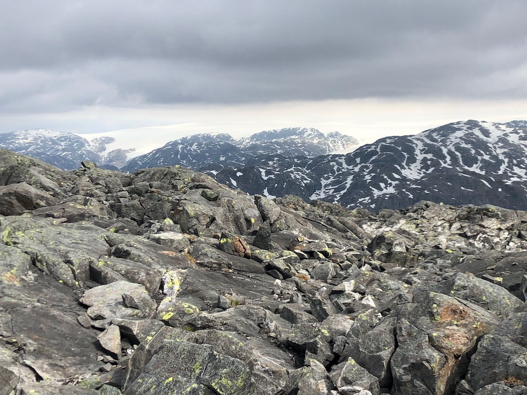
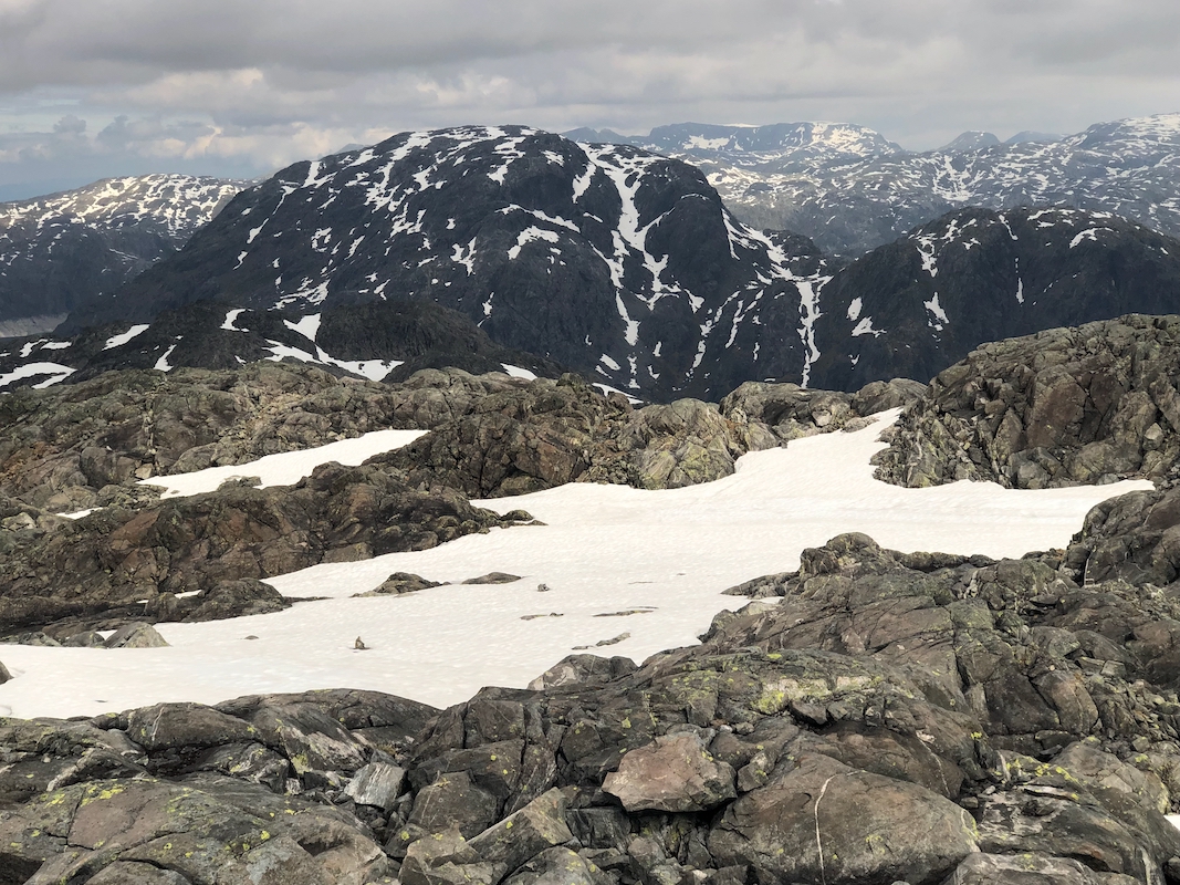
Very good view all around. The view to the Åkrafjorden perhaaps the best. After 10
minutes I descended back down towards the lake,
then followed my route of ascent back.
I was essentially back down in 1:10.
There was certainly time to also climb Bl&aaring;dalshorga. I walked across only to find
that the lake went all the way to a vertical cliff. After a small detour, I headed up
the big grass slope.