Location: North 62.72107, East 008.22702 (GPS at the summit)
Romsdal, Norway
Difficulty: (YDS) class 2
Climbed November 1. 2014.
Information:
How to get there:
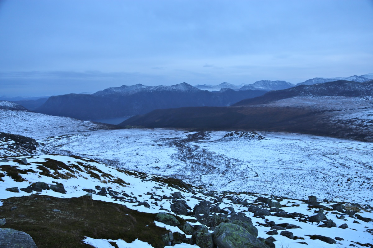
The best trailhead is in Ryssdalen. Ryssdalen is accessed from the road connecting
Sunndalsøra with Molde. Coming from Sunndalsøra, first drive through a long
tunnel to Øksendalsøra, then continue 8 more kilometer to Jordalsgrenda.
From Molde, you pass Eidsvåg, then drive through a long tunnel, Jordalsgrenda is
directly after you exit this tunnel.
Turn off the main Hwy., then drive about 800 meter to a roadfork. The right fork serves
a farm, the left (paved) road serves farms higher up. Continue straight on a dirt road.
There is a self serve toll station slightly further along. Pay (NOK 50 in 2014) and continue
up the main road until another fork where the main road turns right and crosses the river
on a bridge. Drive across, then uphill. There are a few road branches here, continue more or
less directly uphill, the road that branches left is likely not as good. Higher up, you
arrive at a new bridge where the road crosses left, there is a small area for parking
next to a mini-dam straight ahead. Park here, this is a reasonable trailhead. This location
is N62.73360, E008.29199, elevation about 525 meter.
Route description:
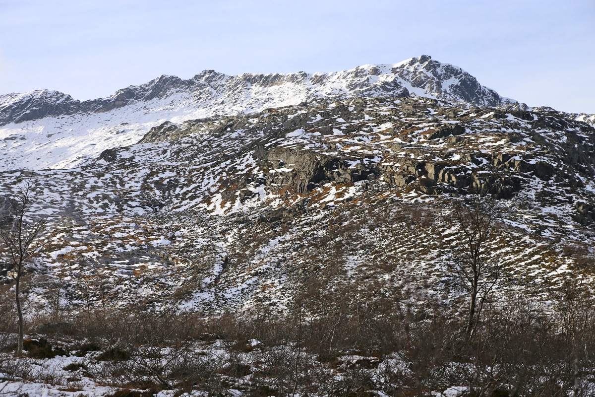
Cross the river and head uphill (parallel to the river), the terrain is perhaps a bit more
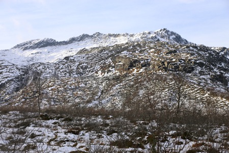
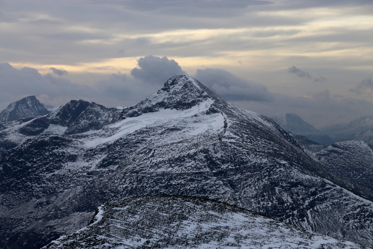
open if one stays a bit away from the creek. Pass the small, characteristic top Varghaugen (667m)
on the north (right) side. You now see the slope
up to the lake in Indre Trollbotnen straight
ahead. A small moraine curves uphill on the left side, it is a nice ridge to walk. Higher up,
cross the small valley (and the creek) and
ascend the ridge on the (north) right hand side
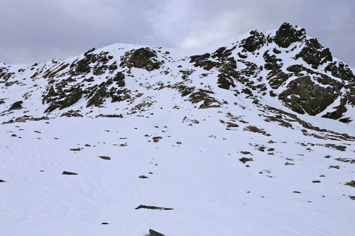
before it gets too steep. Next, follow this broad ridge uphill directly towards the right
end of the summit ridge that runs across higher up. Access to the summit ridge is quite
reasonable just left of the right end.
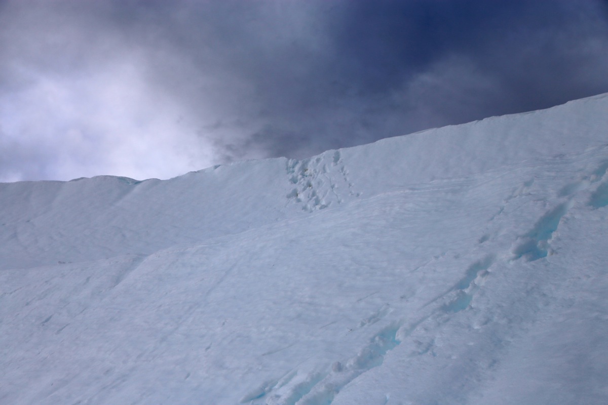
There may be a short section of steep snow (cornice)
near the very top, if it is there in mid summer, then crampons may be helpful (hard snow).
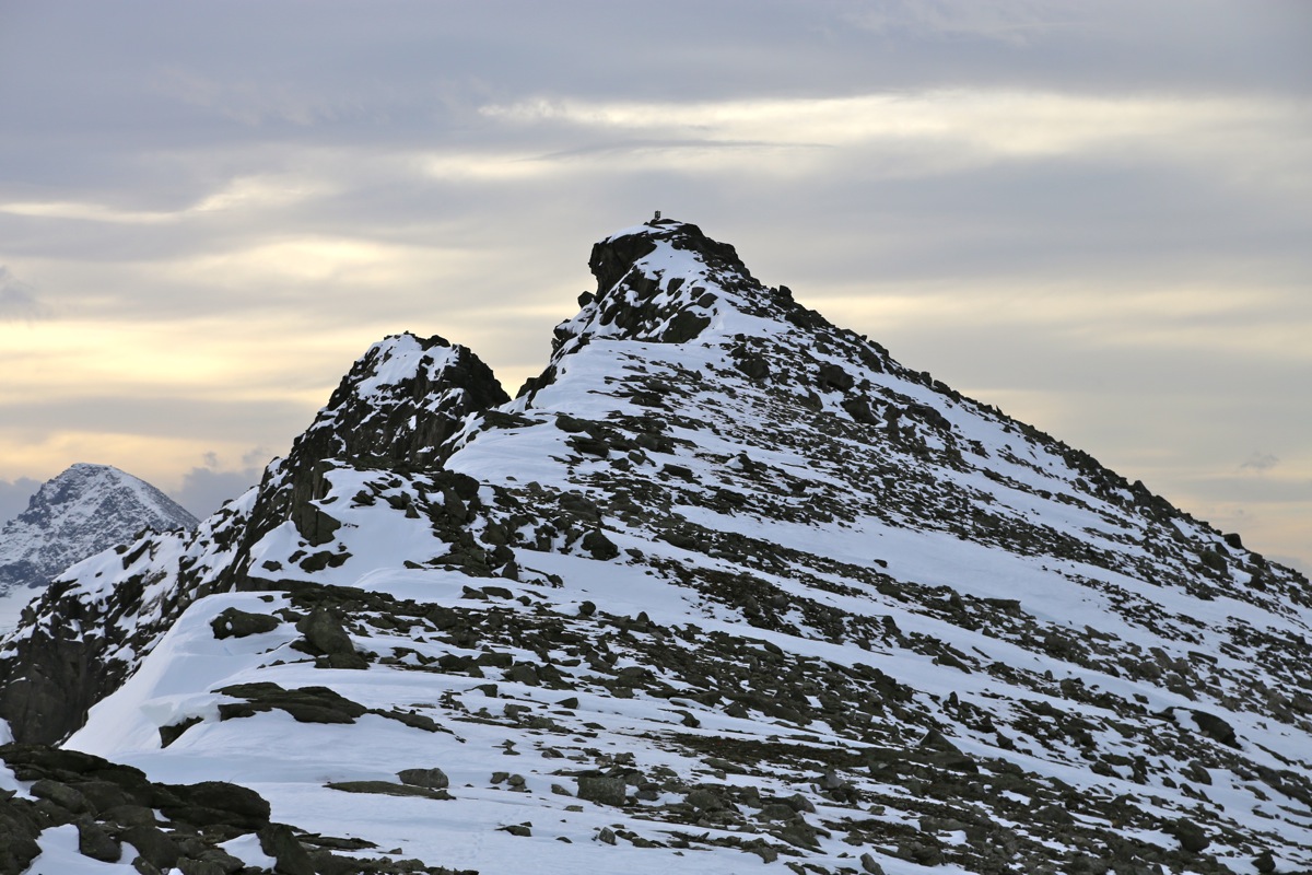
Once on the broad summit ridge, turn
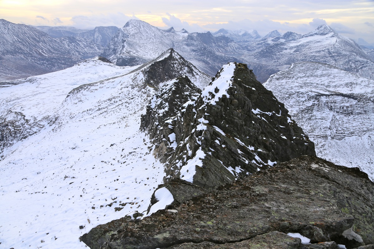
left and walk to the summit. The ridge becomes more
narrow the last few steps and the summit
itself is a single, big rock with some exposure.
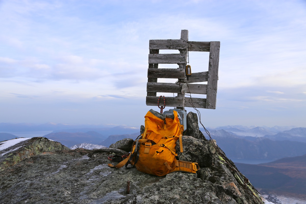
There is a trigonometric marker as well as a summit register.
Comments:
After visiting Høgskolen i Molde, I drove to Øksendal and
stayed in the very nice DNT hut Brandstadbu. I slept early and got up
around 0500. Breakfast, cleaning the hut, then drove to the trailhead arriving
there shortly before 0700. Perfect timing as it was just getting light.
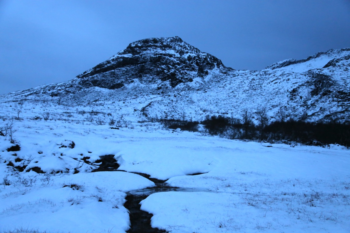
I left at 0700, it was easy to walk and I quickly came to the first somewhat steeper
uphill leading up to the lake 870. Here, I ran into snow that quickly got deeper as
I ascended along a moraine ridge. Above the lake, even more snow, sometimes more
than knee deep. Progress was slow as I got up below the final summit ridge. I decided
to go straight uphill near the right end, this was easy and the snow cornice at the
top did not cause any problems. Still, it is a bit special to kick near vertical steps,
then get your head above the ridge and see nice, flat terrain. There was less snow up
on top and the short ridge to the summit was easy. To continue along this ridge looked
more problematic, the summit itself being a single slab of rock with a fair amount
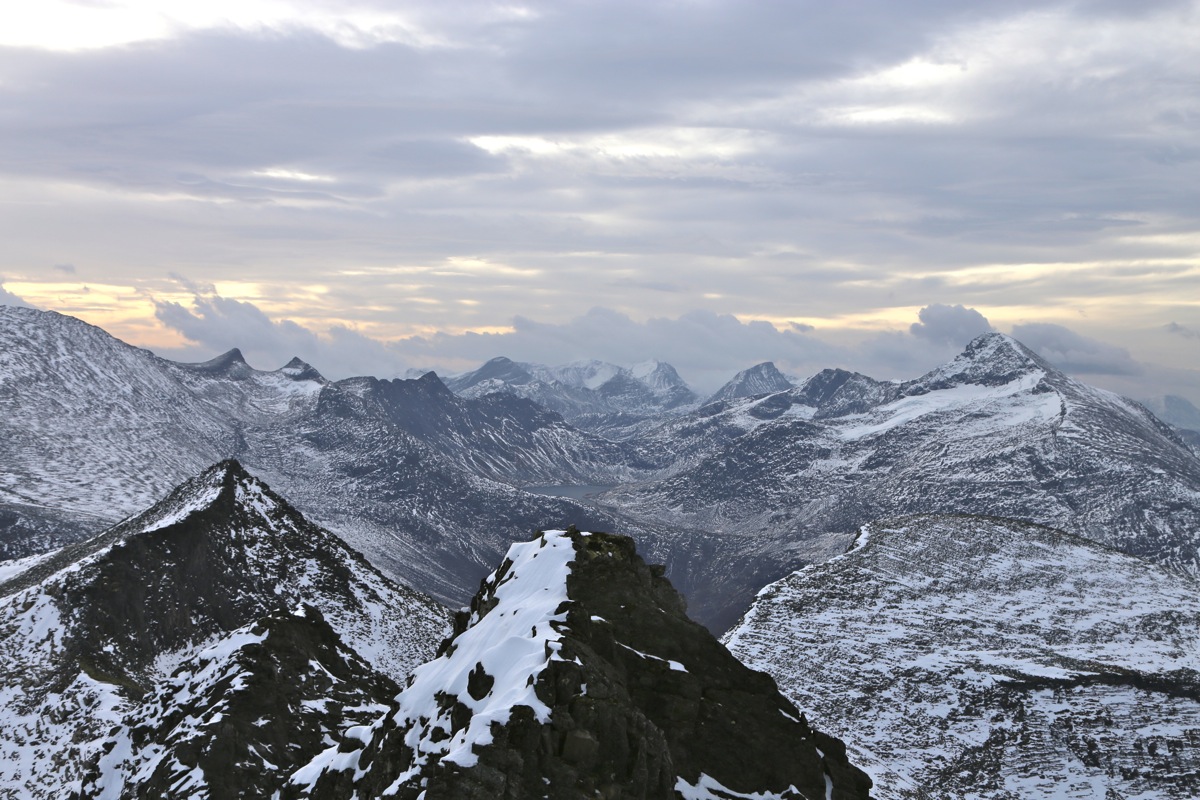
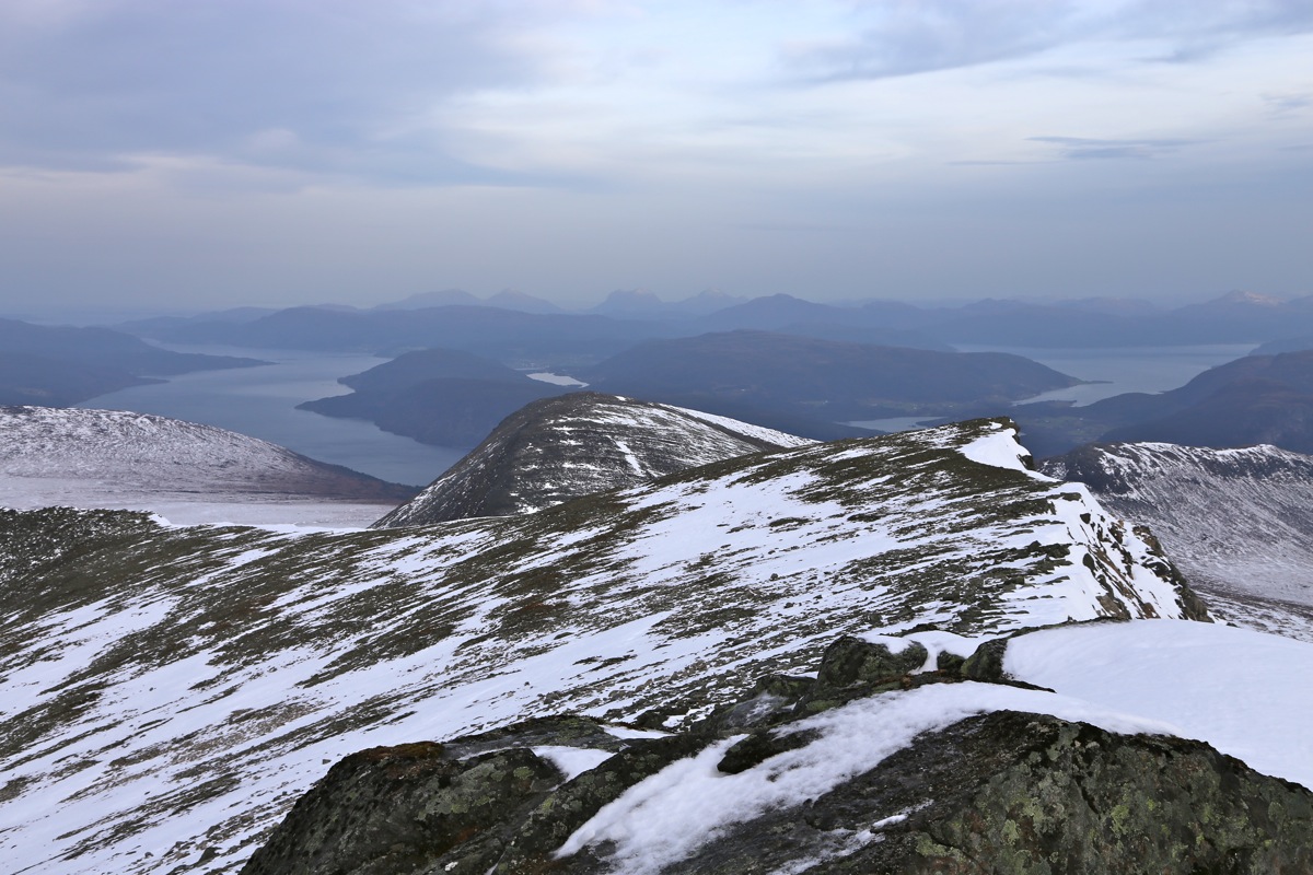
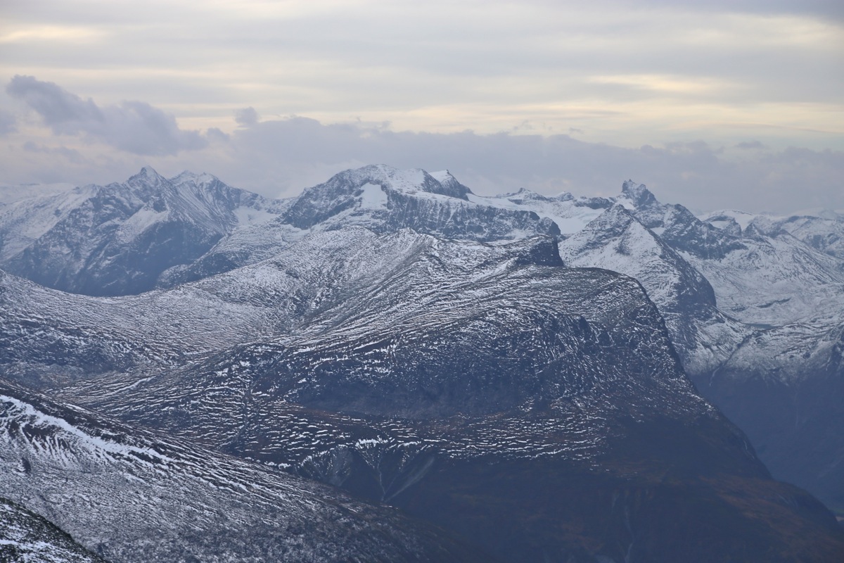
of exposure. The time was 1000, so 3 hours. I took some photos and enjoyed the
November scenery. Absolutely nobody around, strong gusty wind, but otherwise
pretty nice, the sun even broke through about 30 minutes later. I left at 1015, and
descended back down taking full advantage of my footsteps. Certainly much easier as
I got back to the car in 2 hours at 1215.
I continued my day with an ascent of Breidfjellet.