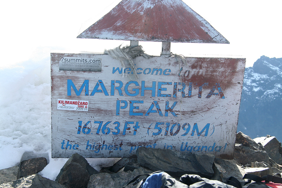
Margherita Peak (Mount Stanley)
- Margherita Peak (Mount Stanley)
- 5109 m
- Primary factor 3951 m
- Highest in Uganda and Congo
- Location: North 00:23.141, East 029:52.375 (GPS on the summit)
- Difficulty: YDS class 4.
- Climbed January 4 2010.
|
|
Copyright Petter Bjørstad, 2009-2010, photos also by Tor Erling Bjørstad and Rob Woodall.
Information:
How to get there:
This mountain is part of the Rwenzori in western Uganda.
See my Trip Report for additional details.
Route description:
The route starts at Elena hut, located at 4560 meter with location N00:22.366, E029:52.938.
From the hut, descend a short ladder (the way to the outhouse), then continue along a route
marked by small cairns. This route runs up the valley, then turns
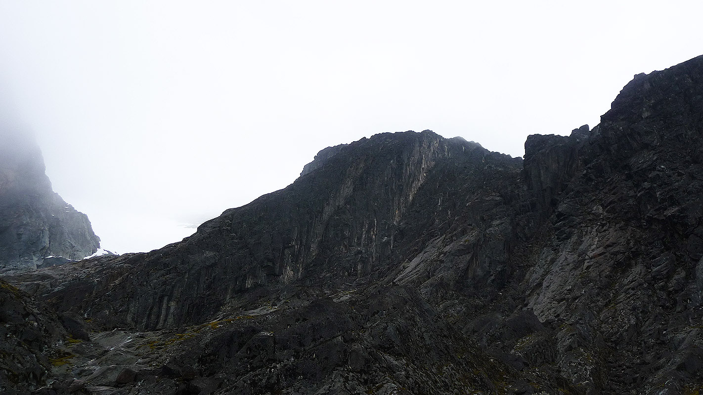
right before the steeper rock wall that can be seen ahead.
This part is not steep, but the rock gets quite slippery when wet. Gradually,
turning right will lead you to the lower part of a pretty broad gully
that runs upwards to the horizon.
The terrain is steeper, but the climbing is quite easy (YDS class 3). A fixed rope is also
coming down the upper part of this passage.
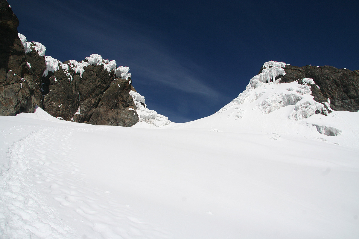
As you exit this gully, considerable elevation has already been gained. Follow the cairns as they
lead the way (a little up and down between rock) towards a good entry point at the East Stanley
Glacier.
Crampons are recommended from this point.
The glacier is generally very nice, no rope required
when we were there. I spotted 3-4 small crevasses, too small to pose any danger.
First ascend a few meter to get onto the glacier proper,
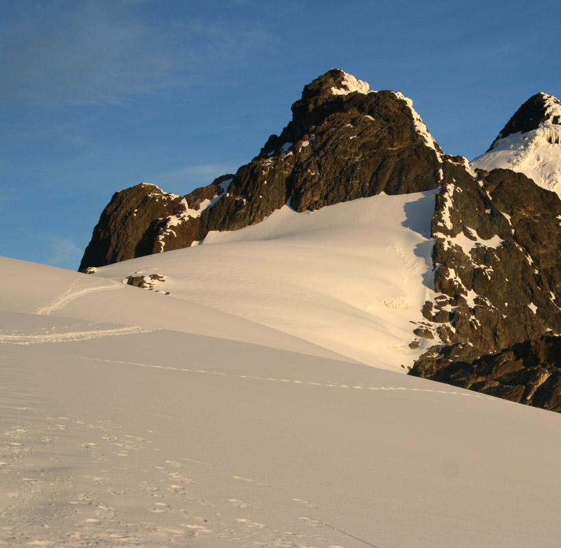
this is straightforward. The glacier is now quite flat and one can see most of the route ahead.
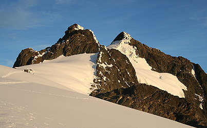
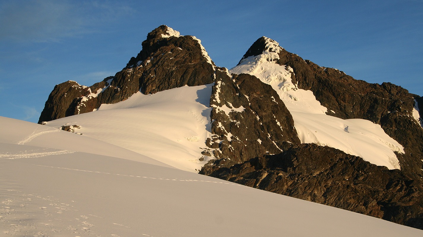
The twin peaks Alexandra and
Margherita are straight ahead. The route stays on the fairly
flat glacier as it runs toward Alexandra, then
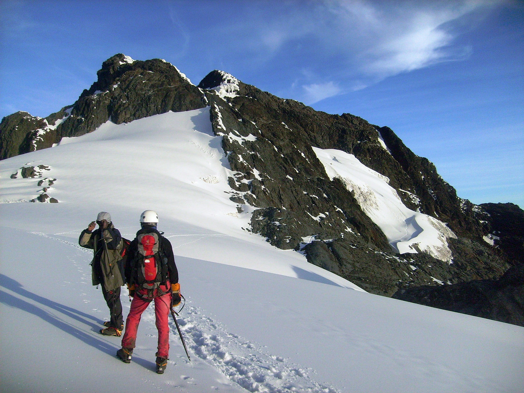
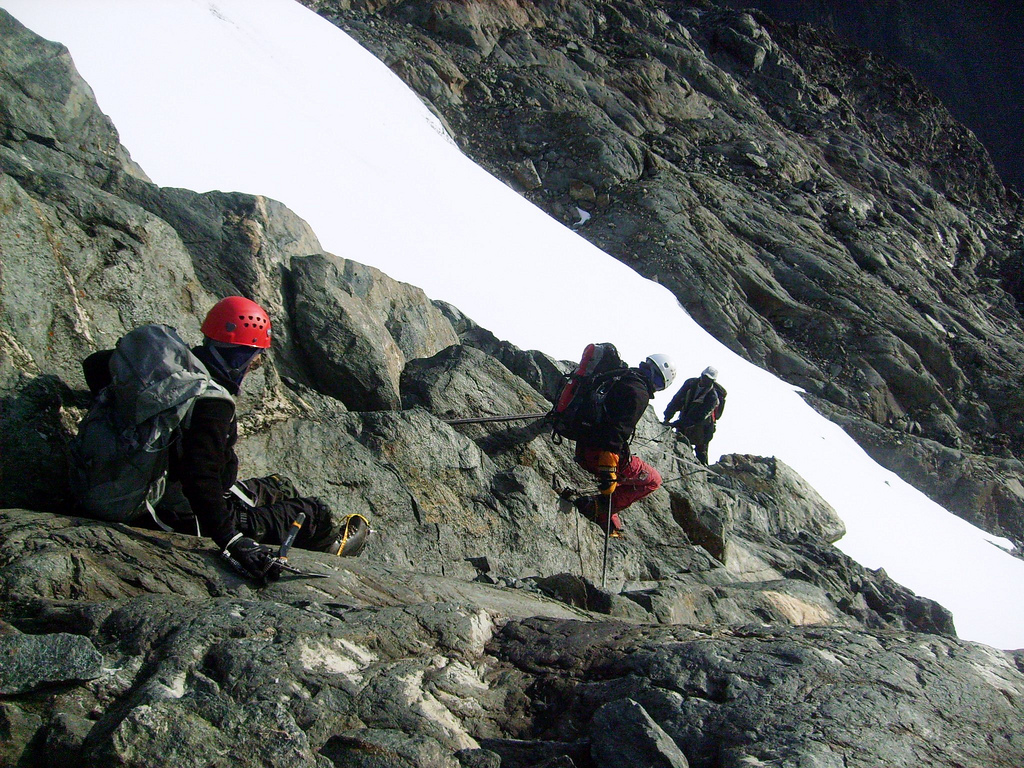
descends and traverses around this peak on her
right side. This traverse starts out rather gently as you leave the glacier and follow a couple
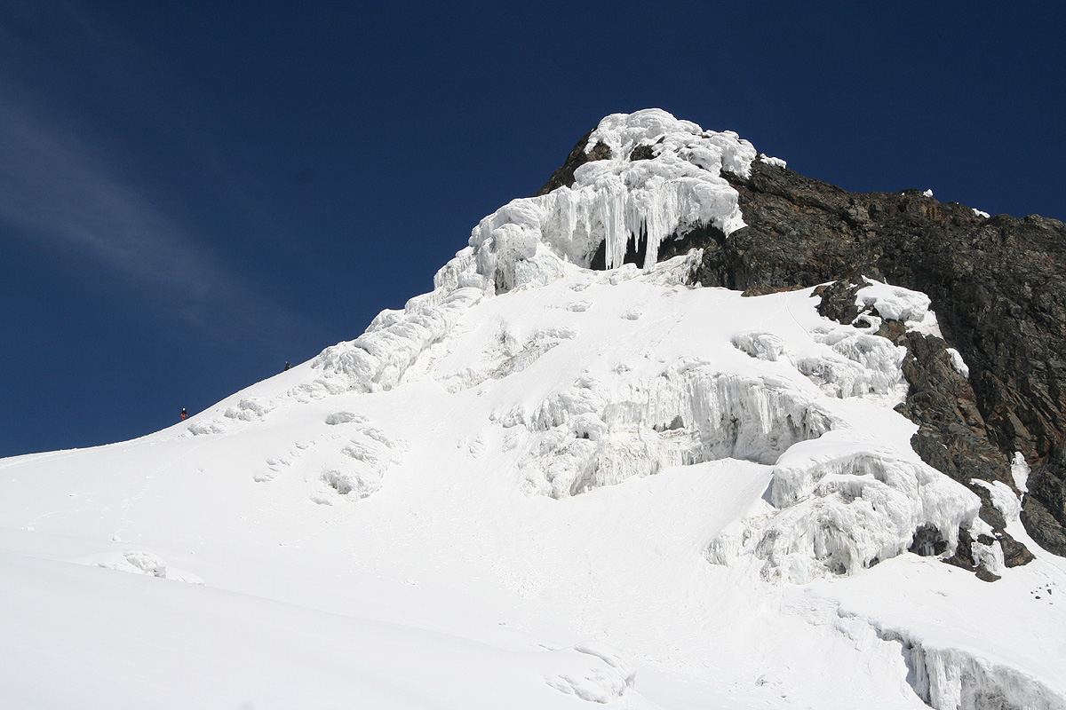
of smaller gullies down.
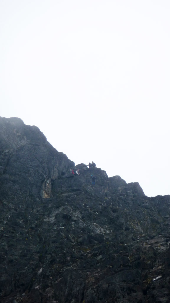
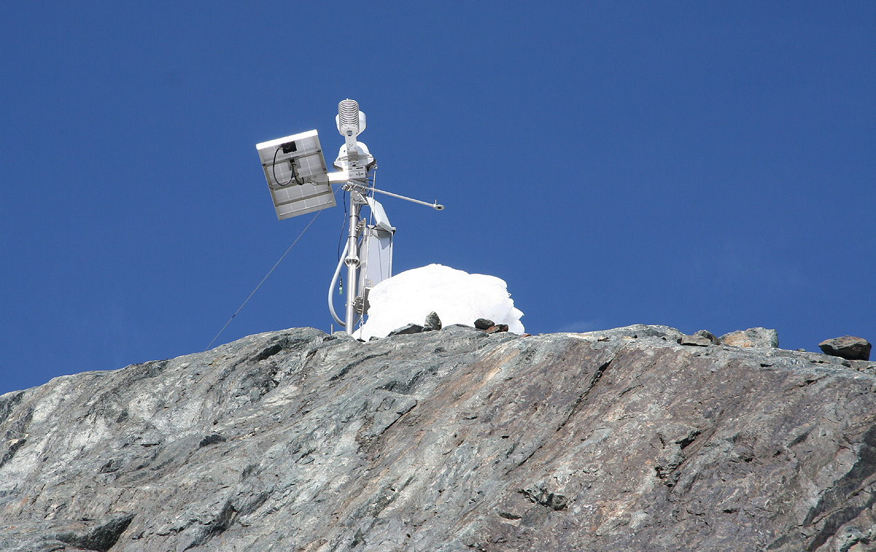
You will pass a small automatic weather station on your left. Further
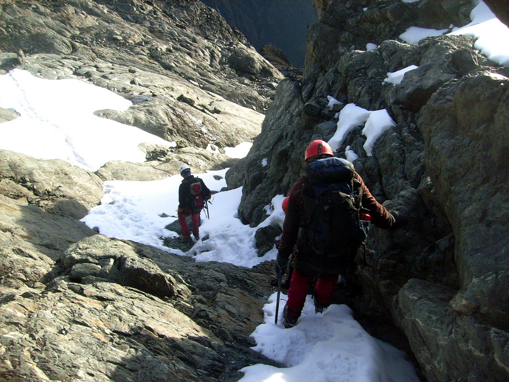
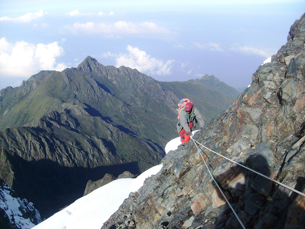
down, the rock gets
steeper, this passage is protected
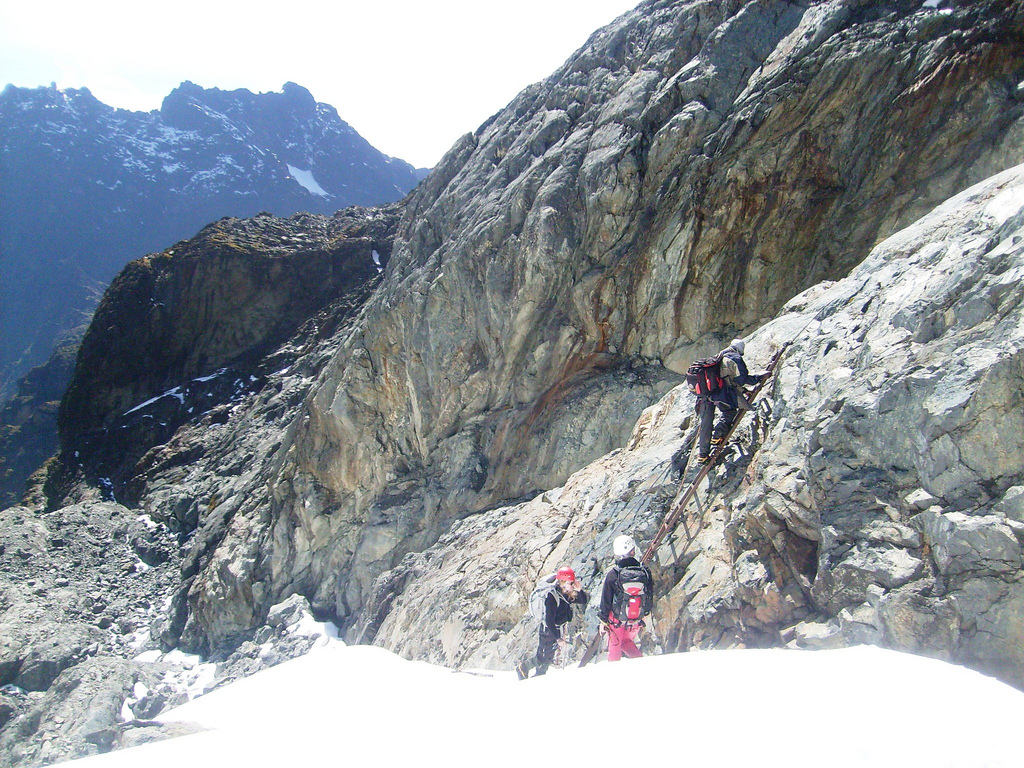
by a fixed rope that leads to the top
of a short ladder. The climbing
here is YDS class 3, there are at least two parallel cracks that
provide numerous holds. You now access the main Margherita glacier
at the foot of this ladder. Traverse
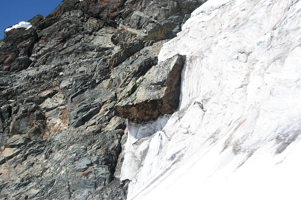
out to the wider part of the glacier, easy snow, essentially horizontal and well protected.
Beware of a huge piece of rock that
seems to be stuck in the ice above you. It looks like it will
melt out and fall down, hopefully with no witnesses.
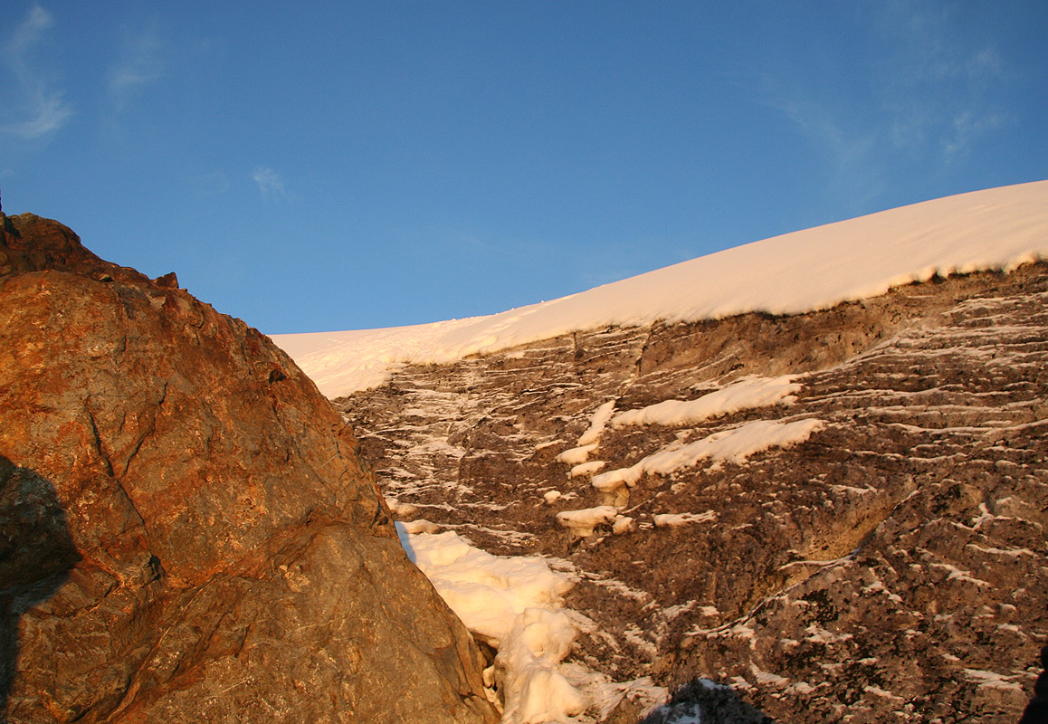
Ascend the glacier (to your left), the slope is only moderately steep and largely well protected
by the glacier formation below. As the slope eases, proceed along the natural route upwards towards
the distinct pass between
Alexandra and Margherita. Before reaching this col, head more right and
climb the moderate snow that
leads up to the final rock of Margherita.
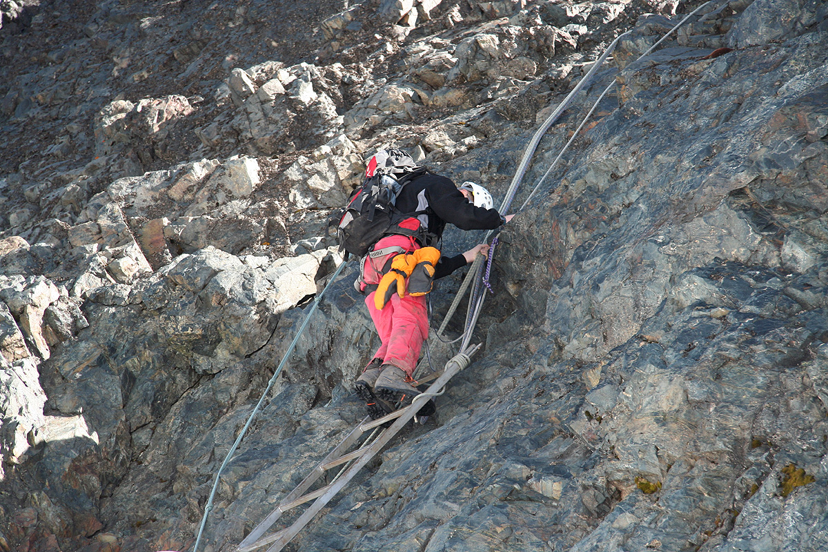
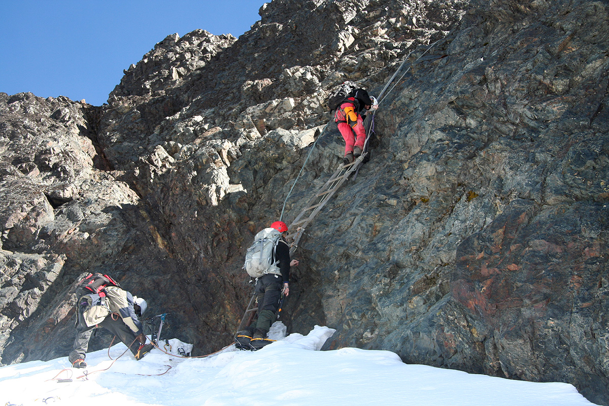
The glacier has melted down considerably and made the last pitch more difficult. This has been
compensated by the placement of a fixed ladder.
Climb this ladder and continue steeply upwards
for about two more meter (YDS class 4).
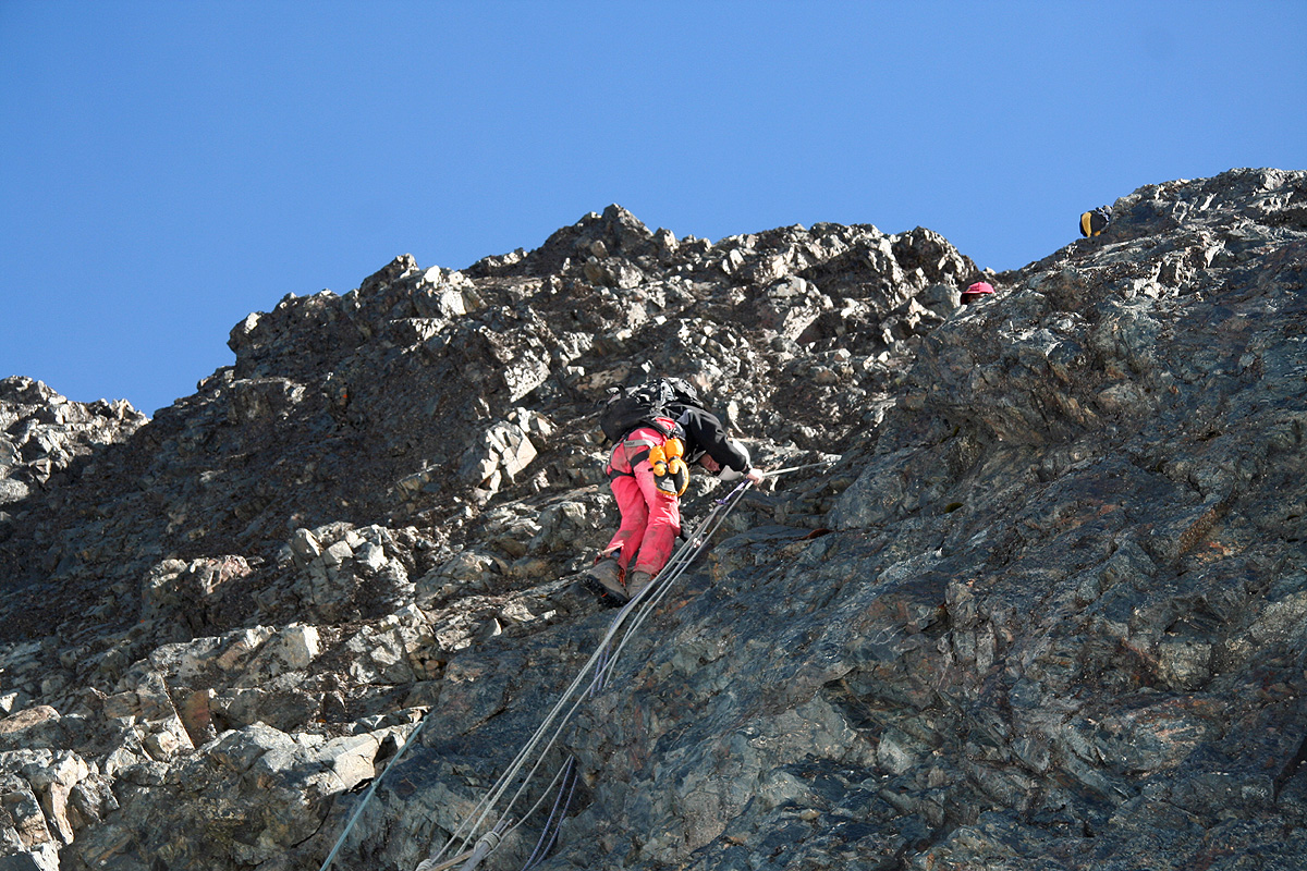
There are fixed ropes on this section. From here, the
route traverses right in order to
gain the main Margherita ridge. This part is quite easy, also protected by
fixed ropes.
The easiest way to climb this section without the ladder/ropes is likely to
start out a bit left of the ladder,
climb along cracks and then contour more right above the ladder to connect with
the final traverse.
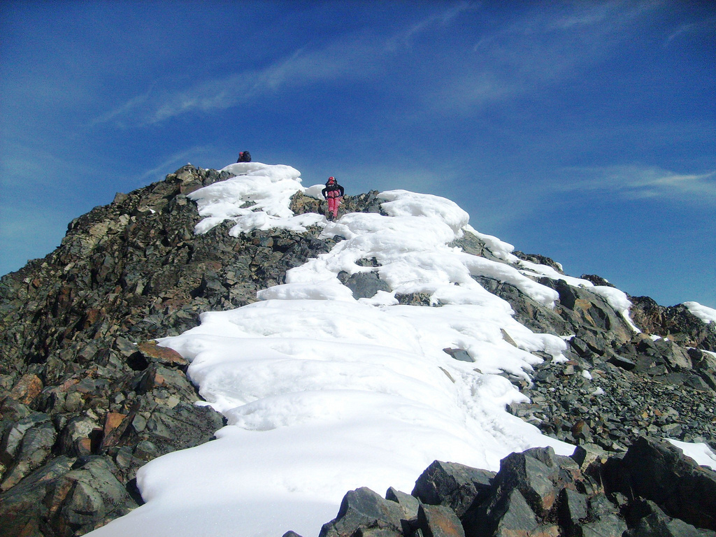
As you reach the main ridge, turn
left and ascend to the summit. This section is (YDS) class 2.
Comments:
I climbed this peak with my two sons Tor Erling and Pål Jørgen. My friend
Rob Woodall completed the party. We started from Elena hut at 0605 and experienced a nice
sunrise while traversing the flat section of rocks just before the glacier. We had a couple
of short breaks in the nice morning before reaching the summit at 0920. Gorgeous weather,
we walked a bit along the ridge into Congo (towards the small subsidiary spur named Albert),
as well as staying busy with photography. We started our descent around 0945 and had an
easy way back down to Elena, arriving there at 1140.
Thanks are also due to our two local
guides George Kurt and Kule Sebestian from the Rwenzori Mountaineering Service.
Resources: