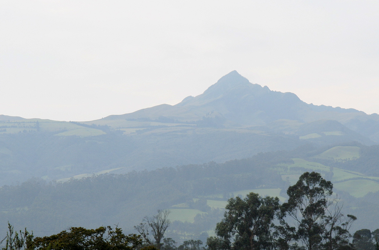
Pasochoa
- Pasochoa
- 4199 m
- Primary factor 794 m
- Location: North S00:27.935 West 078:28.846 (GPS on the summit)
- No. 20 in Ecuador.
- Difficulty: Grade F, YDS class 2.
- Climbed December 8, 2008.
Pasochoa
|
|
Return to the Ecuador summary page.
Ecuador Trip Report:
A brief description of Ecuador
Ecuador (which means equator) is a small country in the north-west of
South America. With Colombia to the north and Peru to the south, this nation
has the same area as the United Kingdom. The country includes the famous islands
of Galapagos in the Pacific. The country is one of only 17 countries that are defined
as "megadiverse", ie. harboring a majority of the earth's species, in this capacity
Ecuador is among the very smallest having a radius of about 300 kilometer.
Ecuador was part of the Inca Empire from 1463. It was ruled by Spain from 1561 until
its liberation in 1822. The country has had a long lasting border dispute with Peru, with
war between the two countries as recent as in 1995. This issue was finally settled in 1998.
The republic had military rule from 1972 to 1979, but is now again a democracy.
The language is Spanish, some knowledge is essential.
There are two big cities, Guayaquil near the coast in the
south, with almost 4 million people
and the capital Quito inland at 2800 meter of
elevation farther north. Ecuador has a significant petroleum industry, fishing, timber
and gold are other important industries. The country has a great potential for
tourist industry, unfortunately, public safety has not improved in recent years due
to considerable poverty and unequal distribution of national income.
Background, trip organization
This trip was initiated by Adam Helman, I became aware of it as Adam
and Rob (Woodall) posted a request to the prominence group asking for
one additional participant in February. (Wed, 13 Feb 2008 16:31:24 -0800)
I replied positively on February 14th. and the team was then fixed.
Airline tickets were purchased already in the spring, I would fly from Bergen
via Amsterdam to Quito and arrive there on December 7th.
Later, I met Rob in Tirol where we climbed Ortler
together at the very end of August. We had a really nice weekend and it made me
look even more forward to the upcoming trip to Ecuador.
Adam initiated a contact with Compania de Guias de Montana,
they turned out to be very competent and able to accommodate our self designed plan for the trip.
Although none of these mountains had a character or level of difficulty that would require a local
guide, we still decided to locate a very capable local person that could serve a guide and as our
driver. Considerable time would be wasted if we should have to locate places to stay, the location of the
best trailheads, etc. See the very end of this report for more contact information. This company can
be highly recommended.
Adam has written a very entertaining and
personal trip report,
it can be regarded
as quite complementary to the information provided in this report.
We travel to Quito, Ecuador
Rob flew from London and Adam travelled from Los Angeles. They met at our hotel
Casa Helbling in the evening on December 6th.
I left Bergen around 1700 on December 6th. and travelled to Amsterdam. My flight to
Quito left pretty late, around 2330, from Amsterdam. KLM is a pretty bad airline for
tourists in general and for mountain climbers in particular. While most airlines
allow at least two pieces of baggage (each more than 20 kilograms), KLM insists on
a maximum allowance of only 20 kg. Since I had agreed to bring a complete tent as
well as a stove plus freeze dried dinners serving Rob and me, I travelled with my
plastic boots, goretex pants and jacket.
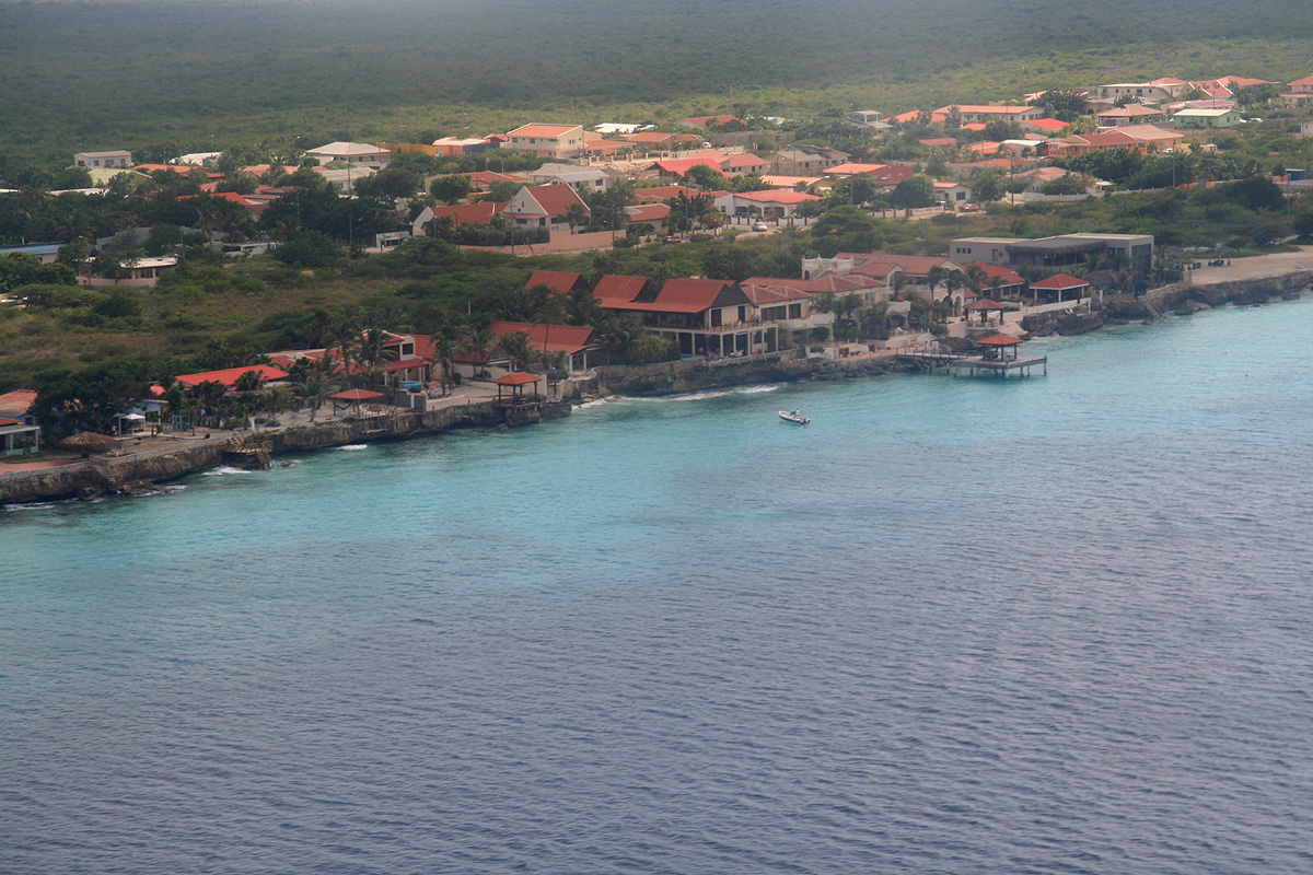
It turned out that this flight first stopped in
the Dutch Antilles, off the coast
of Venezuela, then overflew Quito on
its way to Guayaquil on the coast of Southern
Ecuador. The entire trip with this aircraft lasted 18 hours. Finally, on my way
north toward Quito, I felt that the flight was nearing its end. Out on my right side,
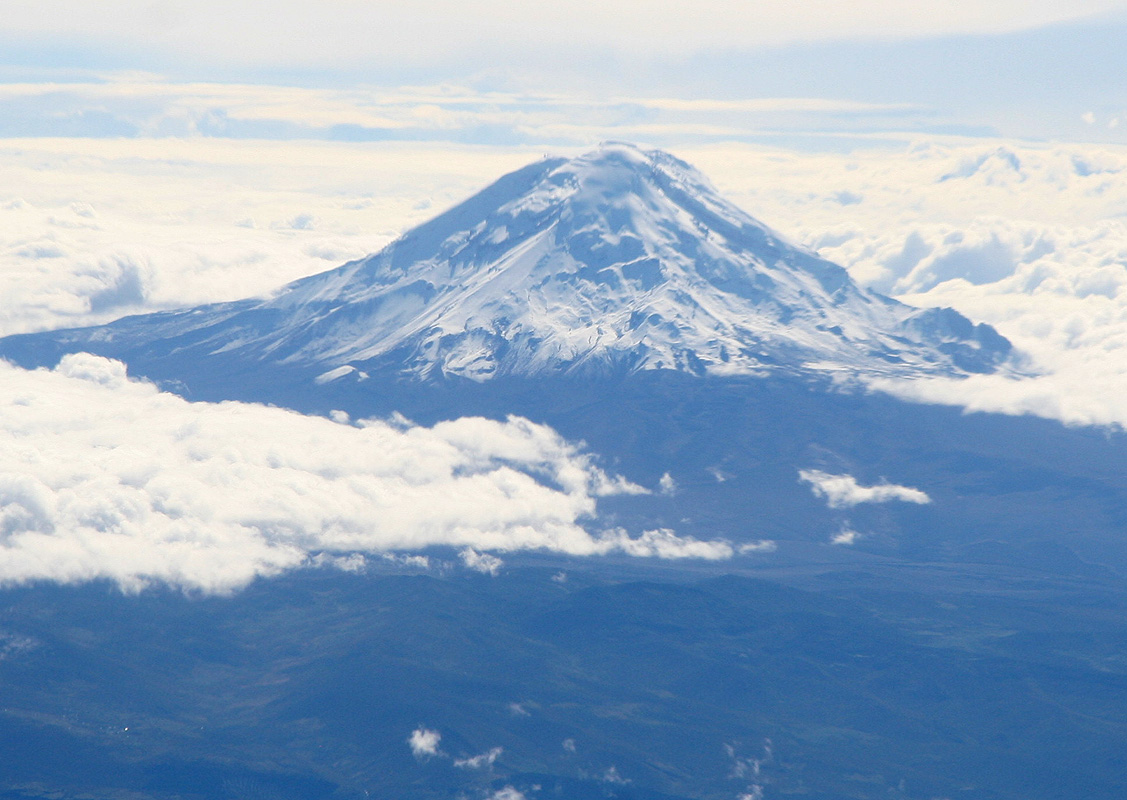
a very large mountain rose high above the cloud cover.
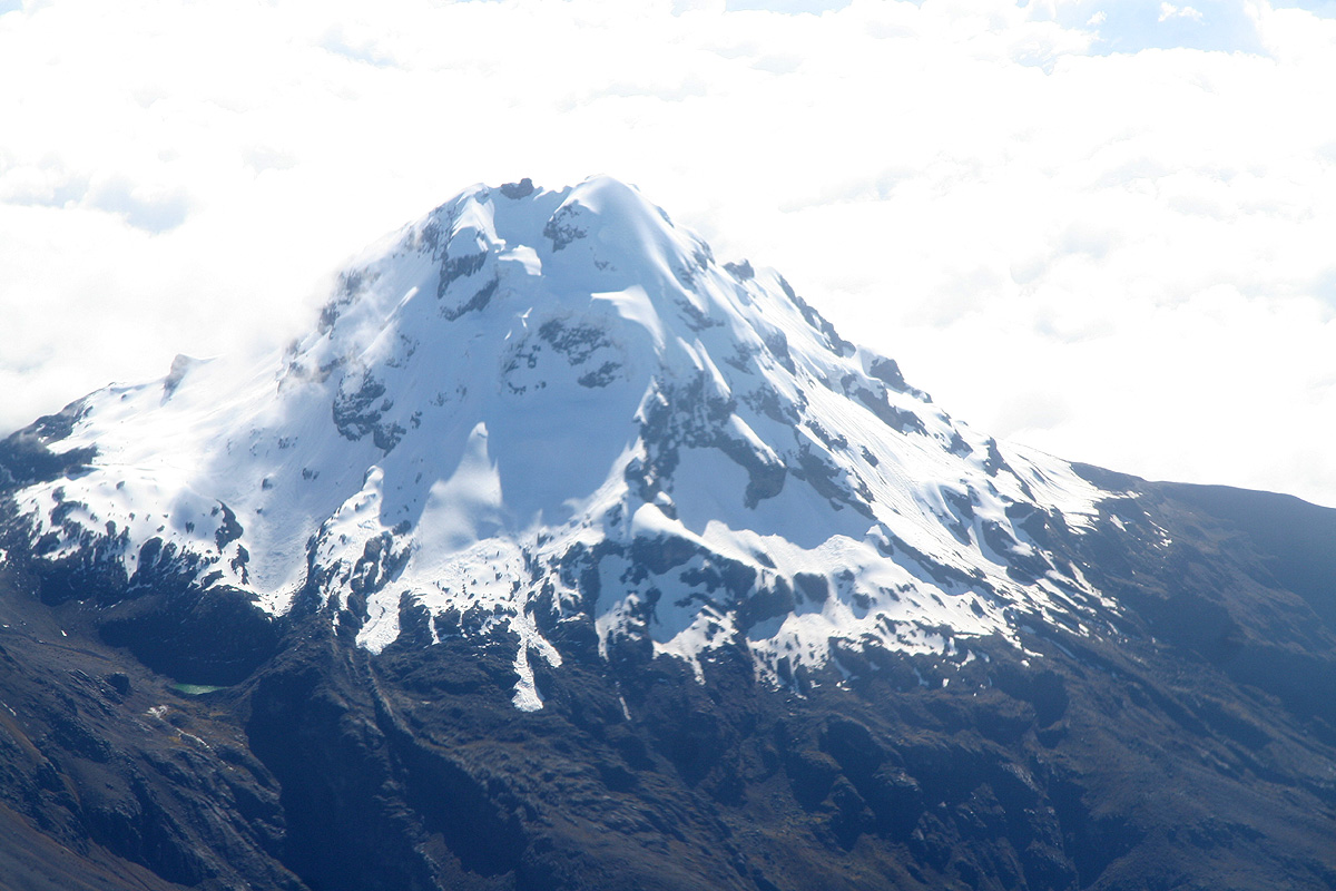
Chimborazo no question about it, the principal
goal of this trip was greeting me as I flew north towards Quito. Farther north, another
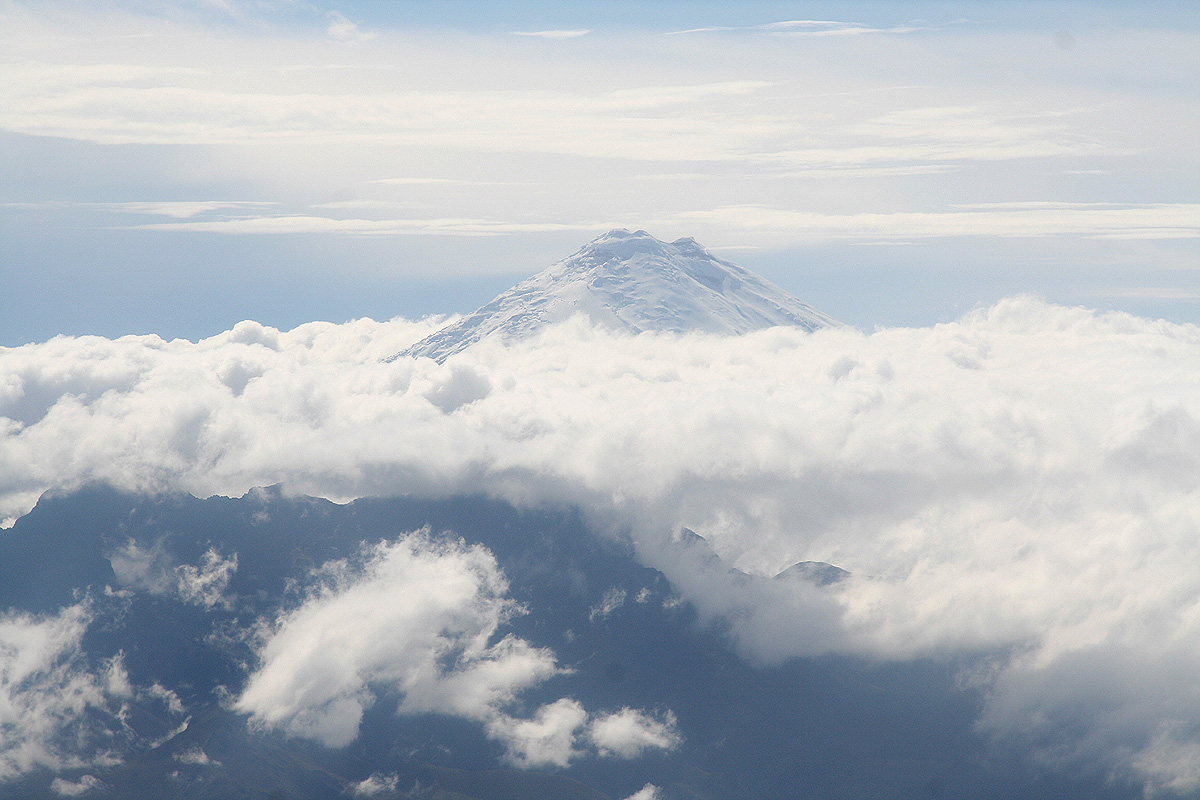
principal objective, Cotopaxi, showed its top
above the clouds, very impressive, if this trip evolved according to plan, I would
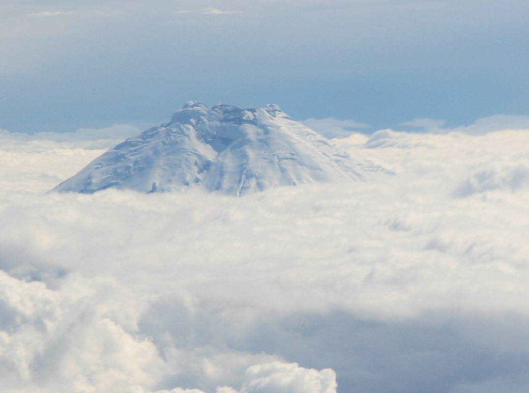
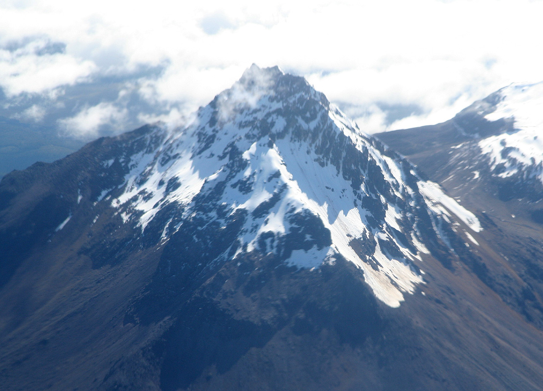
soon stand on its summit. The airplane flew quite close to another well known peak,
Illiniza, with its impressive
South Peak and somewhat inferior
North Peak. This peak was not part of
our plan, we had decided to try two peaks in the north, Imbabura and Cotacachi instead.
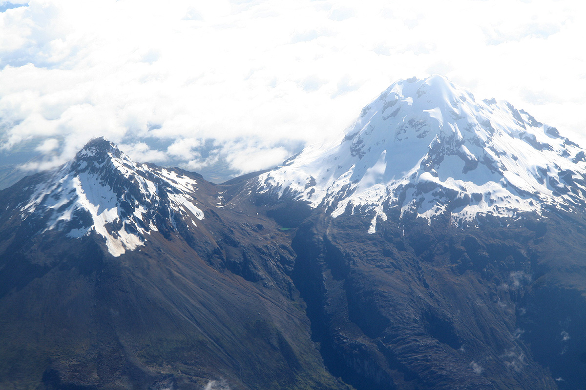
Finally, I got a close view of Corazon (4788 m), followed by
Ruminahui (4721 m), just
about overflowed by the rising clouds, with Cotopaxi standing guard behind.
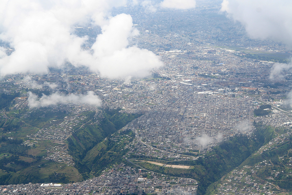
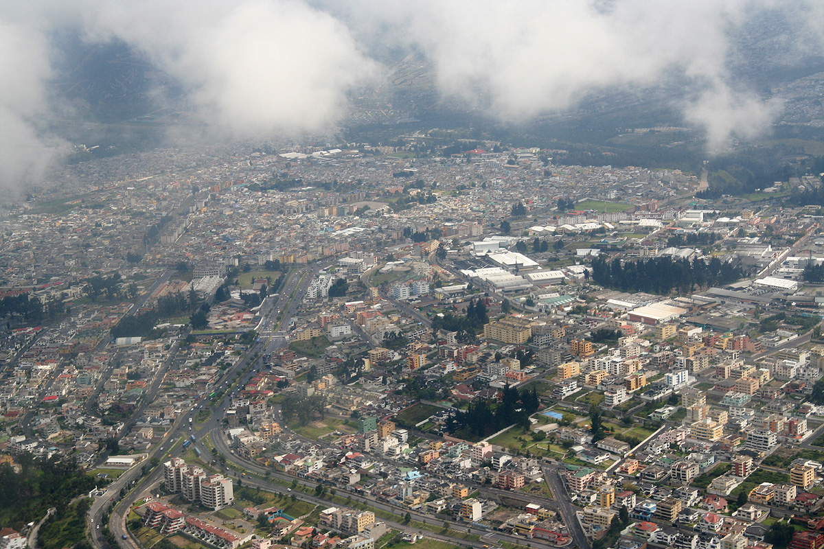
The airport is in the
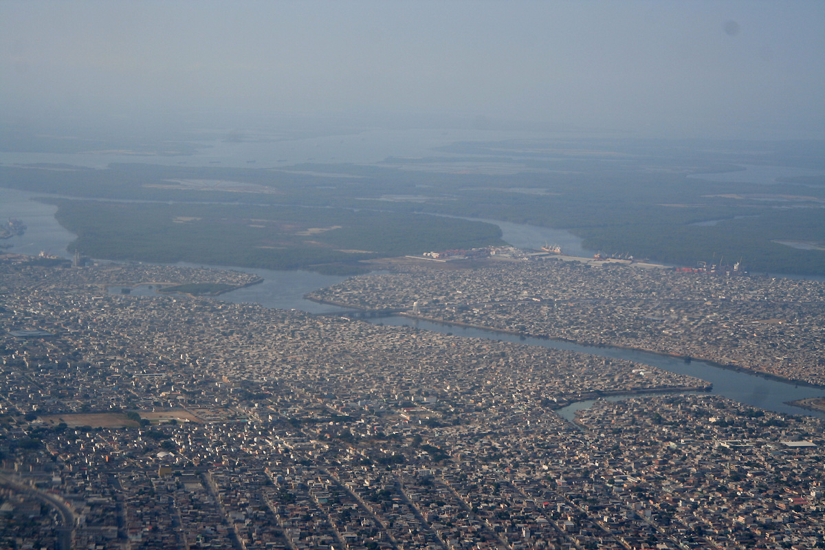
middle of Quito, so
no long transfer in order to get to the hotel. (They are making a new airport outside of Quito.)
The pre-arranged airport transportation worked very smoothly and soon I dropped my luggage in
the Casa Helbling and was warmly greeted by Adam and Rob. I had never met Adam before, however,
based on all his emails as well as personal accounts by "Esquared" (Edward Earl), Bob Packard
and Rob, he seemed immediately familiar and matched my expectations fairly accurately.
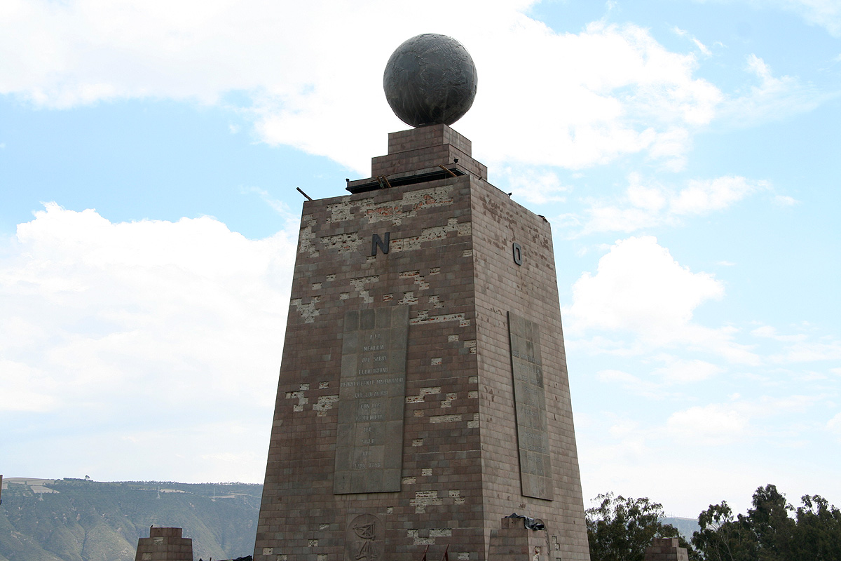
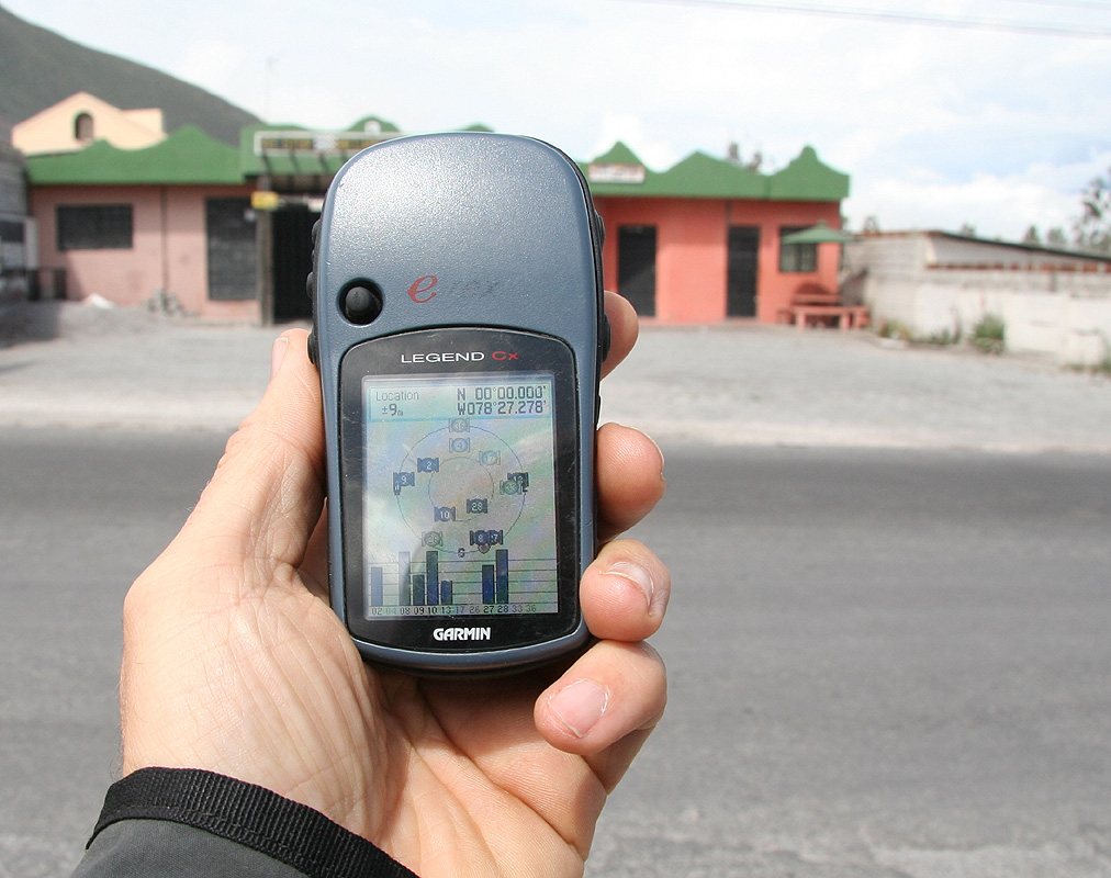
We set out by taxi to visit the official site of the Equator, about 15 kilometer north
of Quito. A pretty nice
park with a large marker, unfortunately, the entire park is
not on the equator, but slightly on the south side.
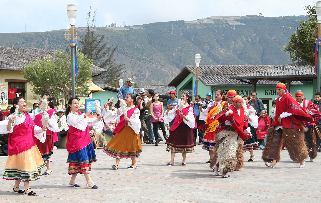
Local folk dances were performed
on the square just in front.
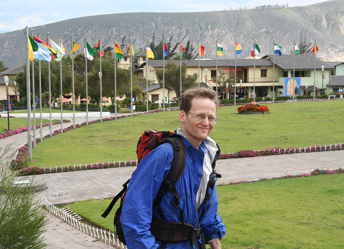
We left the park and
walked along the highway a short stretch north in order to
locate the true equator with our GPS units.
Day 1, Acclimatization climb of Pasochoa
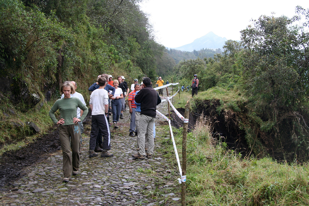
Diego picked us up at 0730 and we drove
south towards our first goal. As the
road started climbing it got appreciably worse. We followed a bus that made
surprisingly good progress up the steep and rough road. However, it suddenly stopped
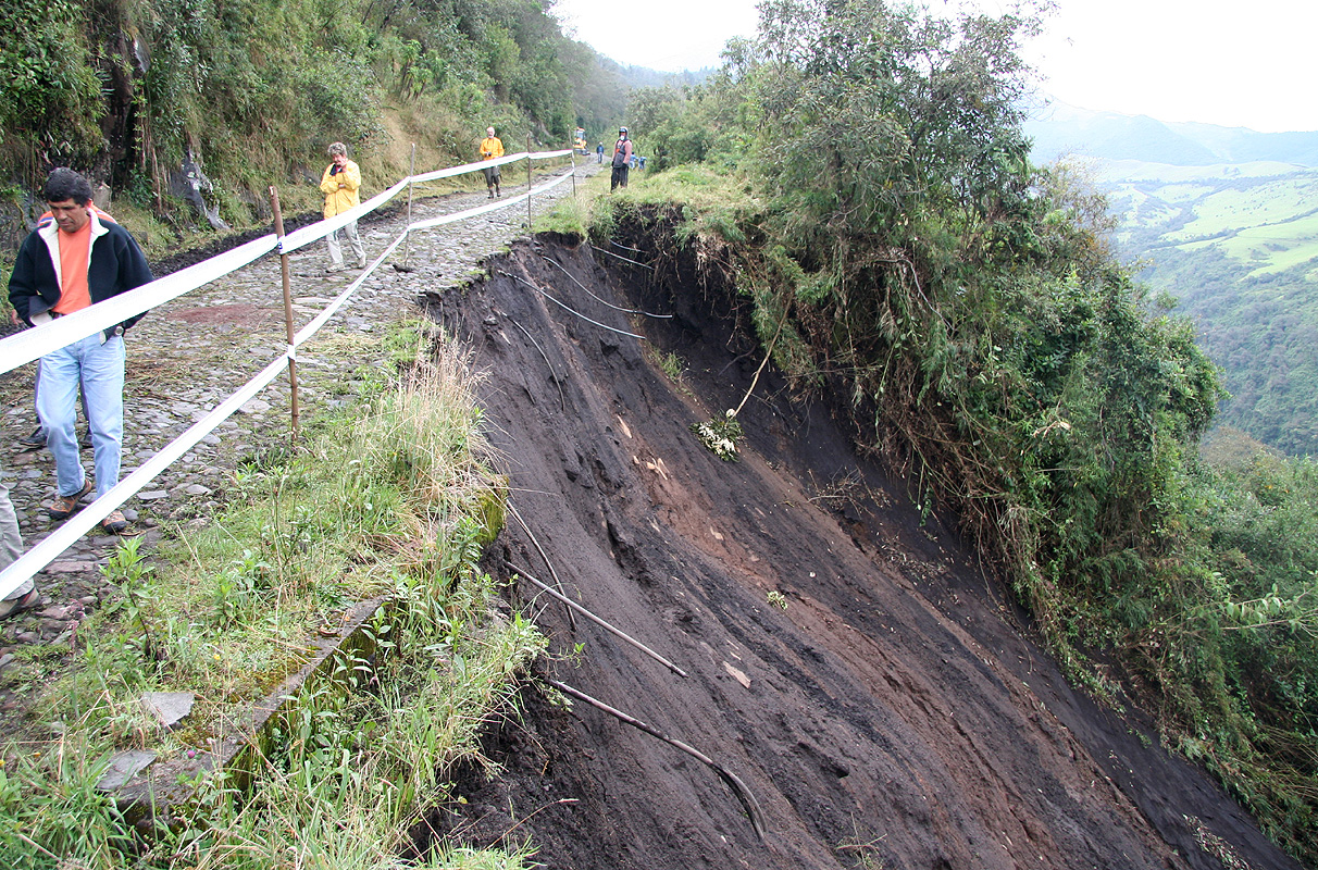
and for good reason.
Part of the road had vanished down the steep slope on
our right, quite a little landslide. We were able to sneak
by and continue our
drive to a small parking area that served as a trailhead.
We started hiking at 0850. Just near the small house, we met a young fellow on a horse.
He advised that we should head more left and gain access to what looked like a farmers
working road on the far end of the field. Following his advice led us to two other farmers
that asked ten dollars in order to let us walk "on their land". Ignoring this request, we
continued along the dirt road as it climbed gently leftwards. Before soon, the guy on
the horse showed up and now told us that we could not reach Pasochoa by following this
road. A simple scam altogether, we ignored the man, took a right turn higher up and regained
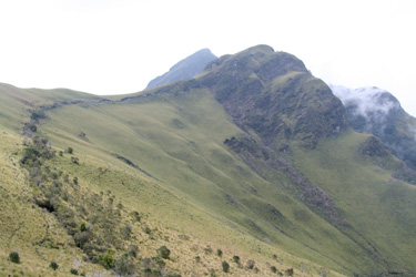
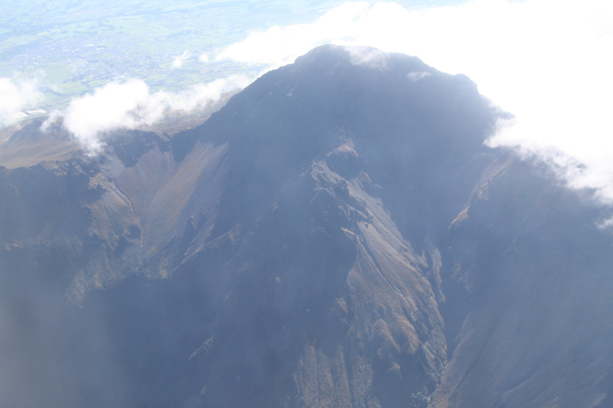
the proper route near the distinct ridge. We made the north summit at 1105 and quickly realized
that the south summit was higher.
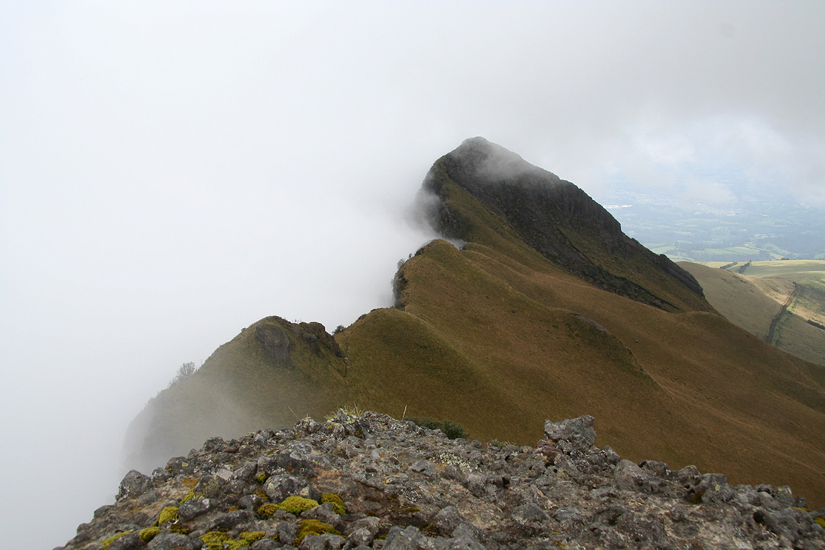
Following the high ridge, (the picture is looking back)
we measured the prominence of
the north summit to about 54 meter. The last part of this route was a somewhat steep
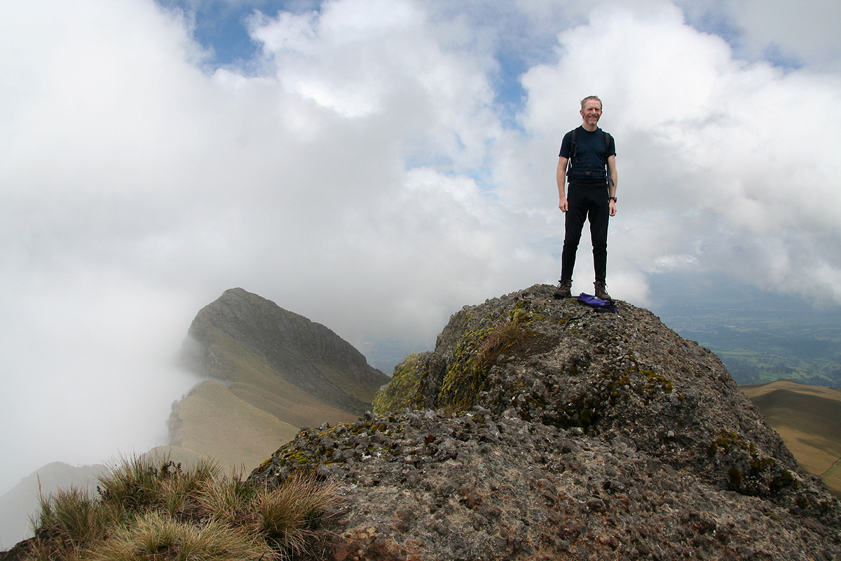
scramble among rocks and trees. There were several alternatives. We arrived at the main
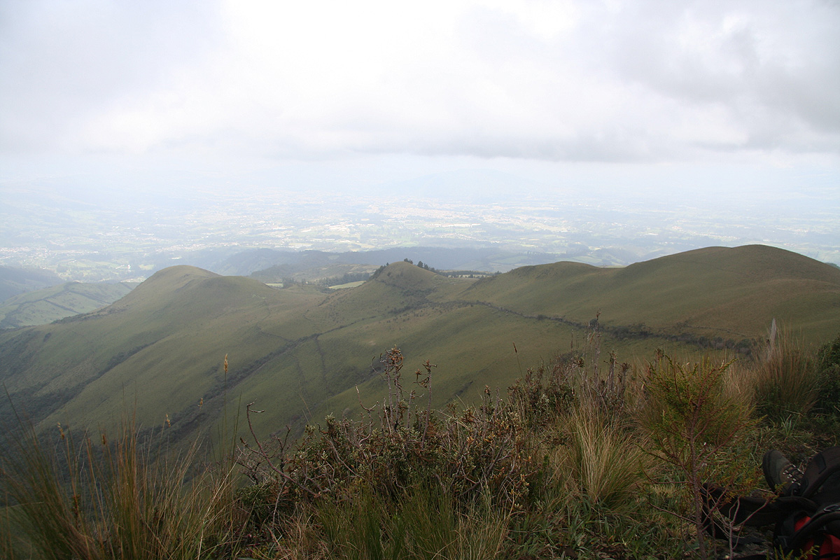
summit of Pasochoa around 1140. A nice, rocky summit
and time for
a well deserved rest.
We left the summit after 30 minutes and followed the proper trail back to the
house and the 4WD drive leading back down to our trailhead. We had agreed that Diego
should be back waiting for us by 1400. However, as we reached the trailhead by 1345,
he was then just turning his car around - close to perfect timing. Our first acclimatization
hike had come to an end, 5 hours of easy hiking mostly along trails in a grassy landscape.
As we drove back
to Quito, we could see our goal for
the next day, the 600 meter higher Guagua Pichincha.
(The trip report continues there.)