Location: North 01.17023, East 034.53096 (GPS on the summit)
Difficulty: YDS class 2
Climbed February 15. 2020.
Information:
How to get there:
This description is the same as for Mount Elgon.
The nearest large town is Mbale.
Go north about 5 kilometer on A104, then fork right in Namunsi,
where you cotinue north-west about 4.5 kilometer, then turn right
onto a (good) dirt road to Budadiri. Continue straight through
the center of town and locate the National Park Office on
your left a few hundred meter from the main road intersection in town.
There is a guesthouse about 50 meter further along the road on the same
side. (Location N01.16873, E034.33923, elevation about 1225 meter.)
One of the guides working there is Paul, whatsapp no.: +25xxxxx.
The climb can be done in 2 or 3 days, some parties actually take 5.
In 2020, the fee for staying in the park was USD 75 per day. This would
include a guide, but not local transport and/or porters. (See below).
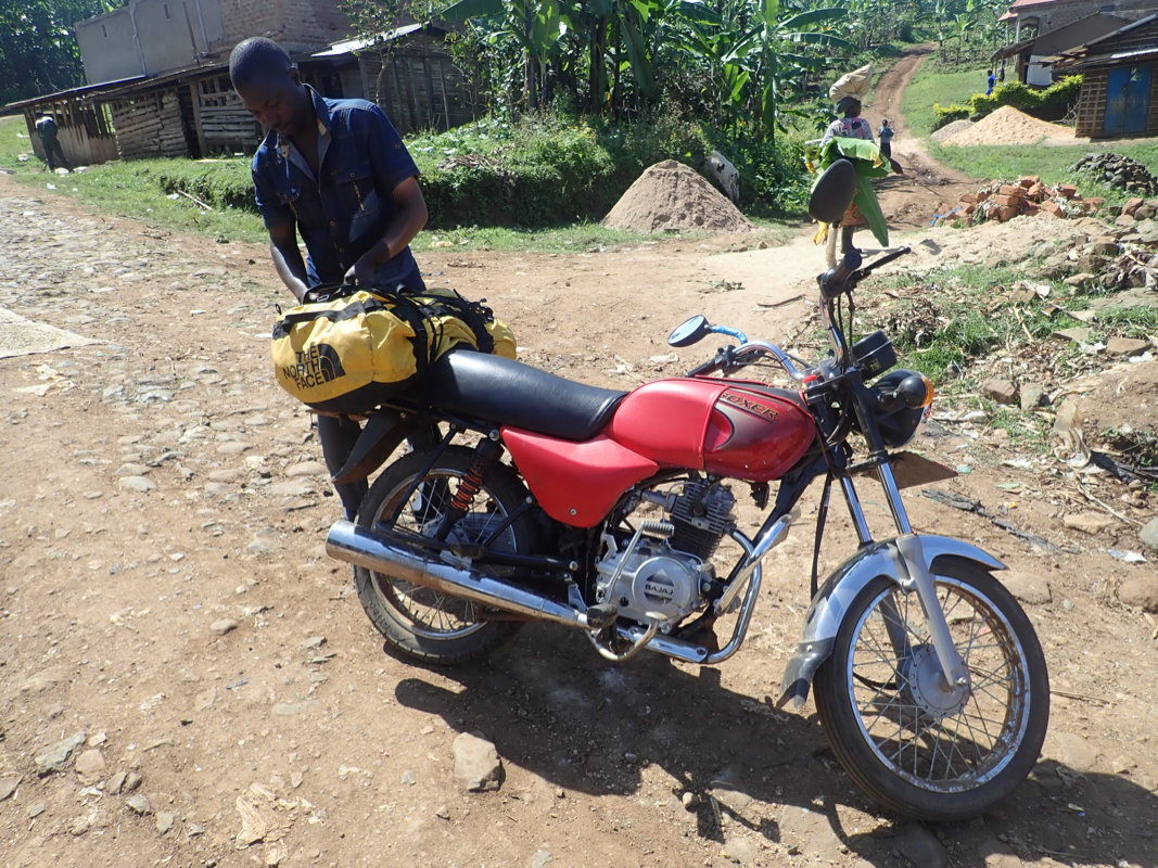
One typically leaves the car at the guesthouse and travel by motor-bike
up to a small village (N01.16967, E034.38958, elevation about 1700 meter)
where the trailhead is located.
Route description:
This description is the same as for Mount Elgon
until Camp II.
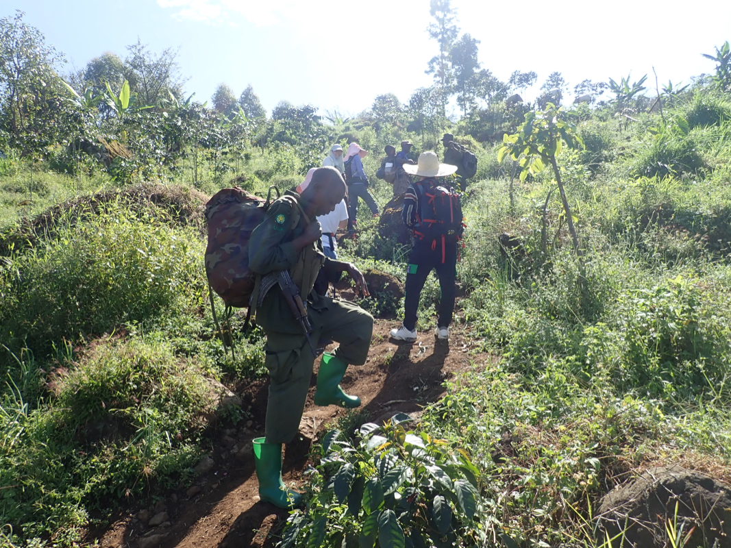
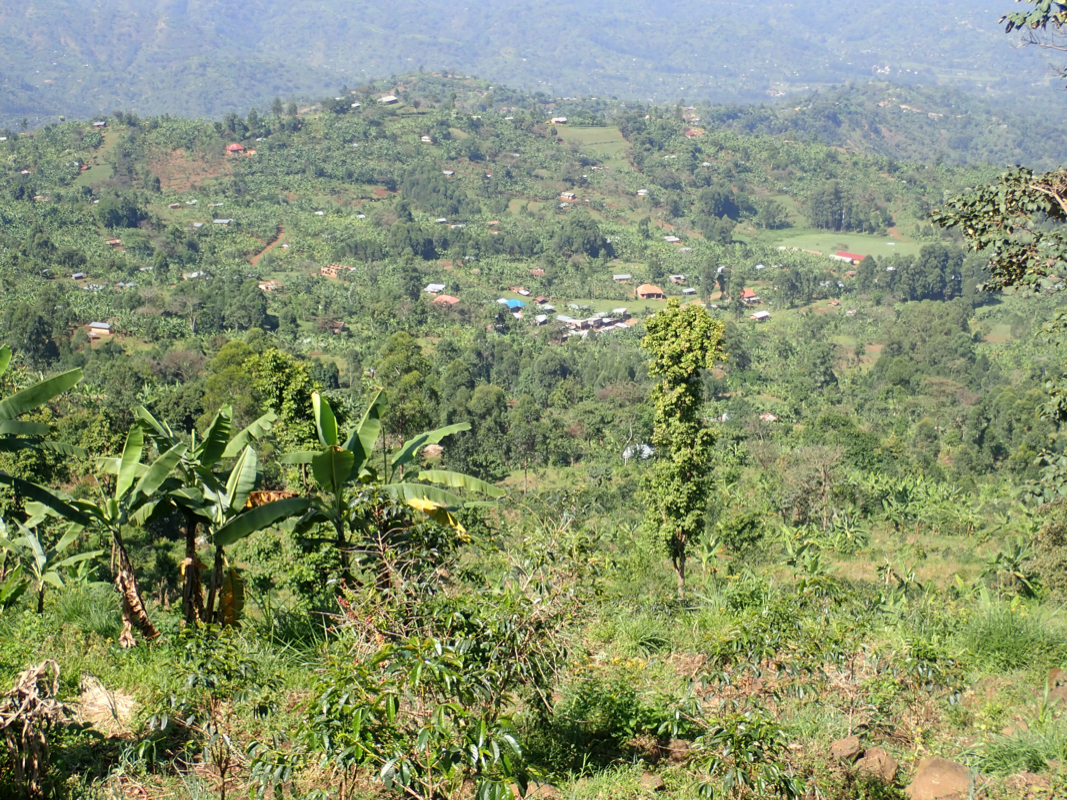
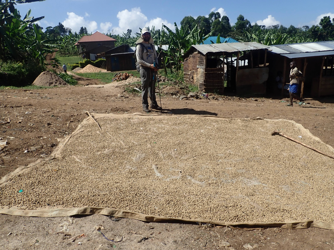
From the trailhead, the route first climbs fairly steeply through cultivated
land. Coffee is an plant important growing on this hillside. Higher up, the
slope eases a bit before you arrive at a sign indicating the park boundary
and the end of farmed land (Loc. N01.16923, E034.40779, elevation about 2220 m).
There is a steep cliff up ahead. The trail climbs
directly towards this cliff, then ascends via solid iron stairs. The view from
the top is quite good. You are now at location N01.17003, E034.41057, elevation
about 2420 meter.
From here, the trail climbs more gently among large trees to crest a small
ridge before a slight descent crossing the Sasa river with arrival to Camp I, called
Sasa River Camp. This location is N01.17156, E034.43912, elevation about 2840 meter.
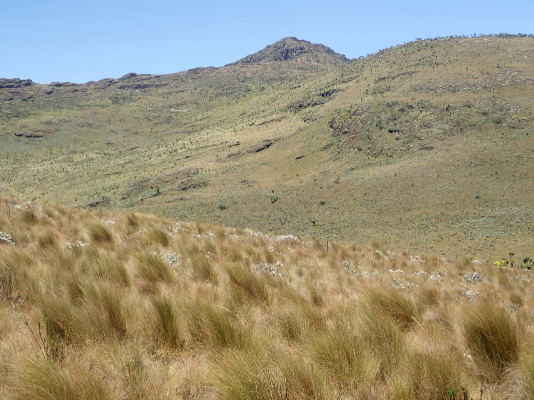
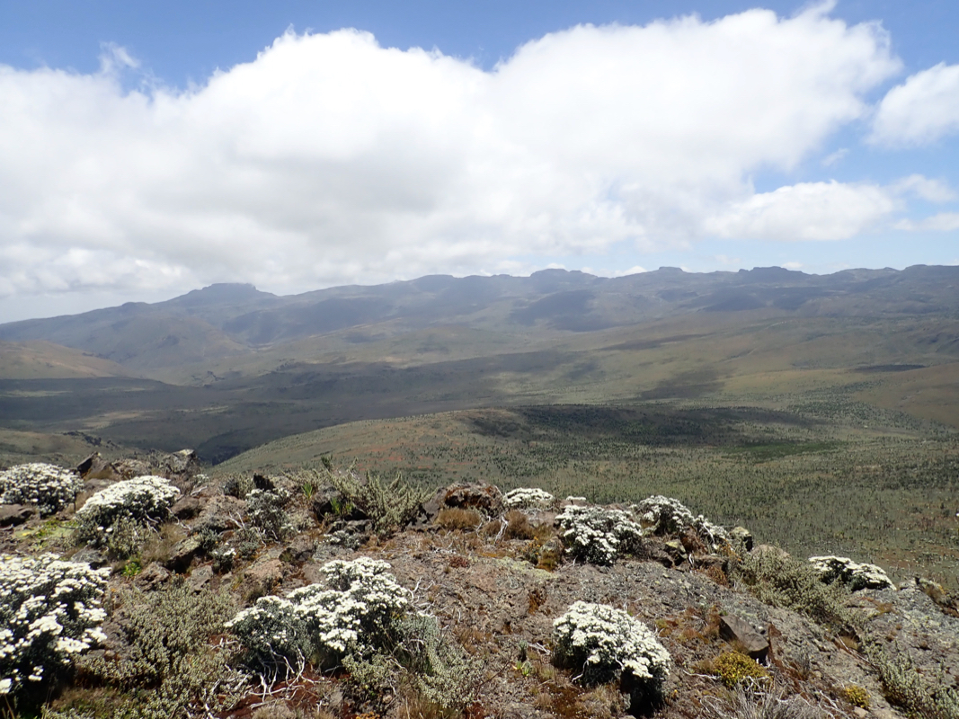
The route continues with a very gentle, sometimes almost flat climb. This is a huge
mountain and elevation is gained gradually. A horisontal traverse across the south
slope of a hill will bring you
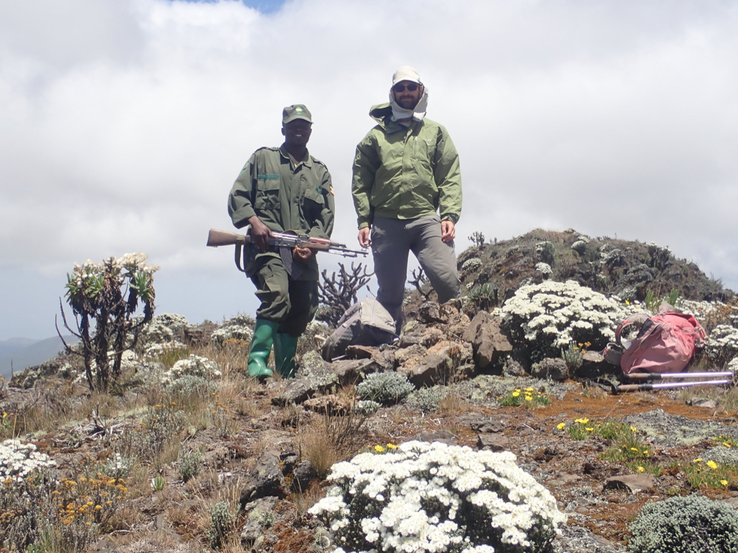
to a park check point (location 01.17559, E034.46991, elevation about 3310m).
A ranger is stationed here
and a visitor register is signed while the permit obtained at the office
in Budadiri is delivered.
Continue a bit more than 2 kilometer while gaining another 200 meter, to reach a sign and
a trail fork (a smaller trail runs right to a small waterfall). Keep left, descend slightly
to reach Camp II, called Mude Cave Camp. This is at location
N01.16681, E034.48846, elevation about 3475 meter. There are huts for guides and porters as
well as a pretty large hut that can be used by climbers. There is tap water that can be used
for washing and cooking, most likely just fine for all purposes. Good spots for camping.
This camp is just below treeline.
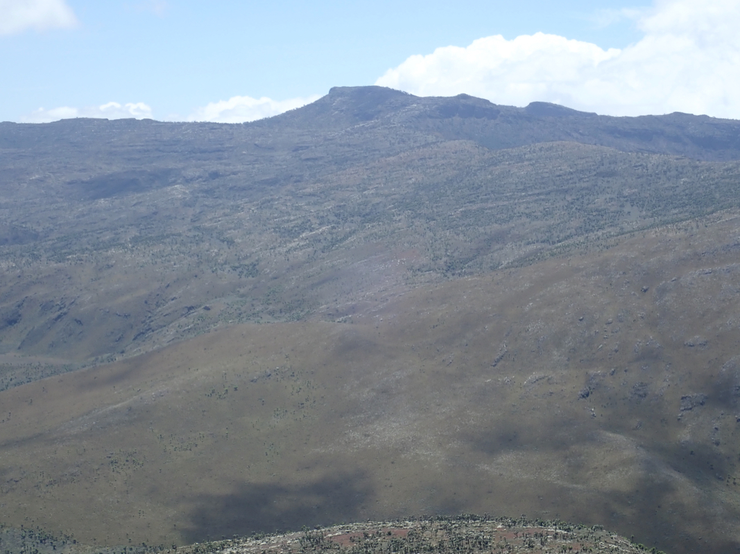
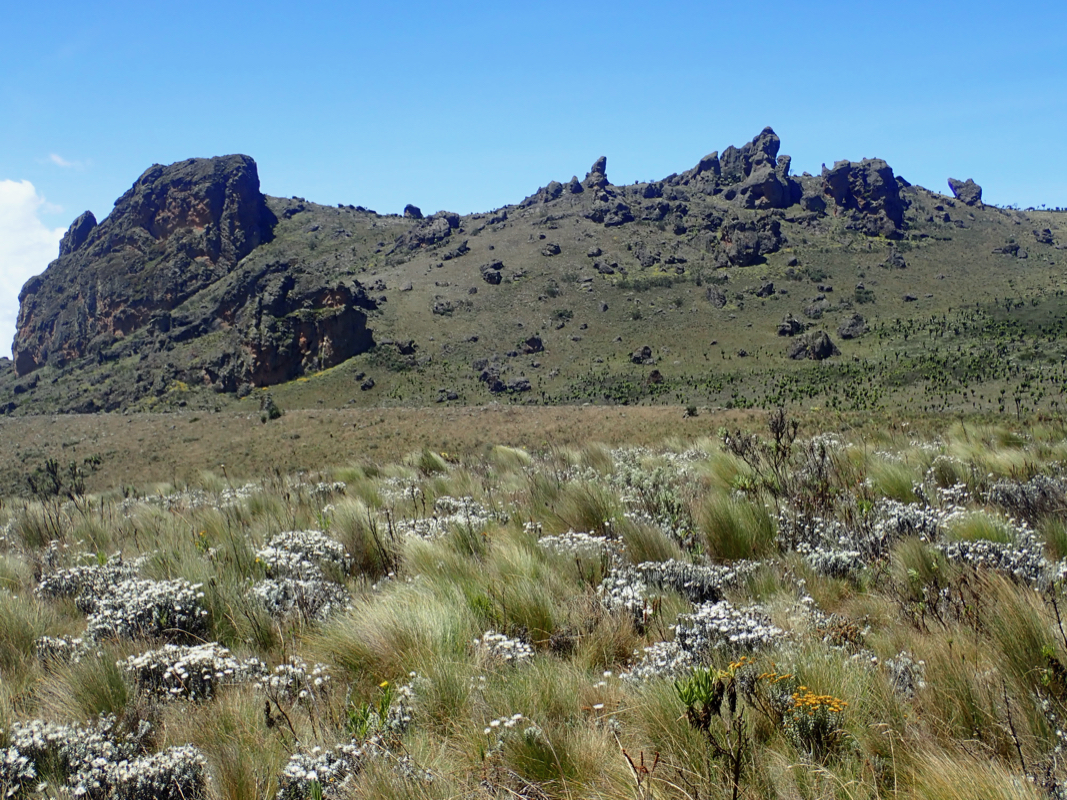
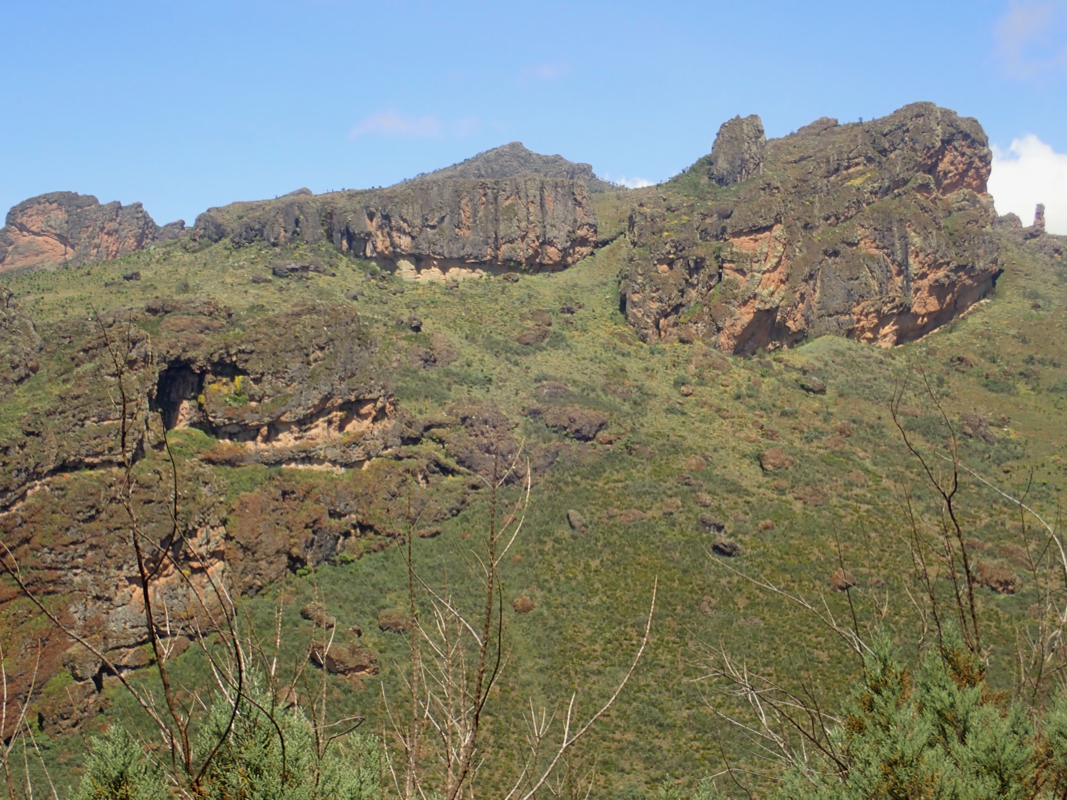
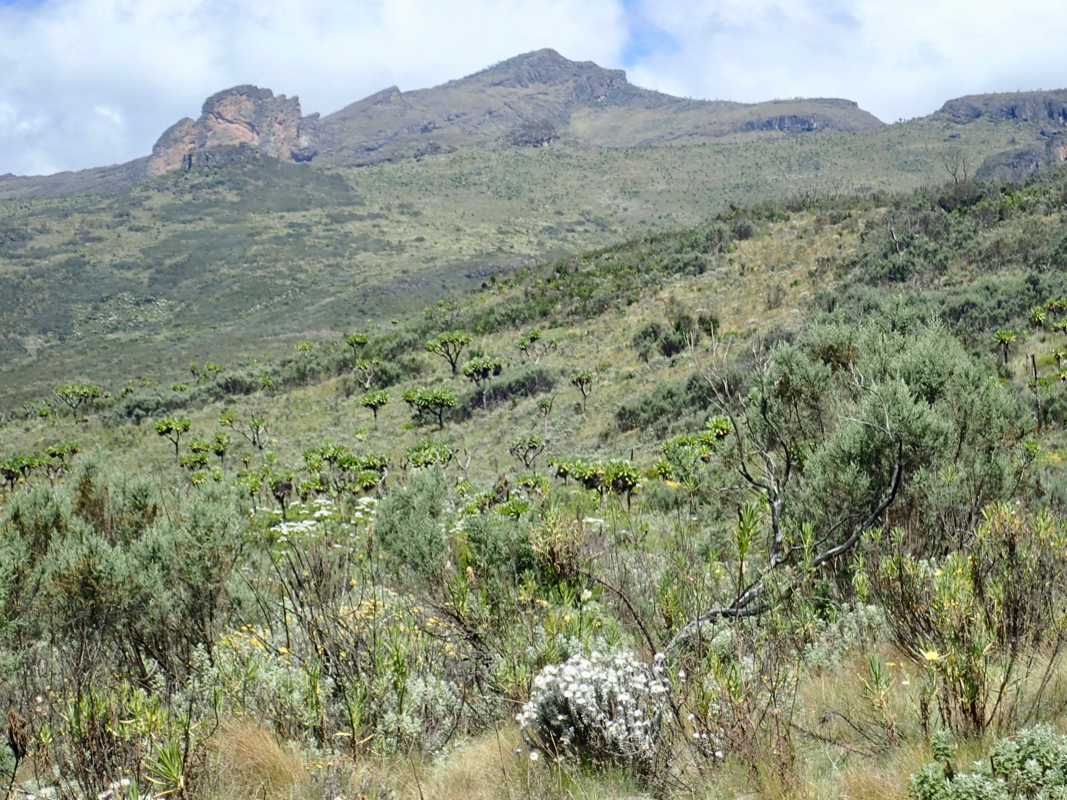
From Camp II, continue to follow the trail to Mount Elgon until you arrive at a signed
trail fork. While Elgon is straight ahead (uphill), the trail to Mubiyi forks left here.
The trail runs fairly horizontally, then traverses the hillside, you will see a very
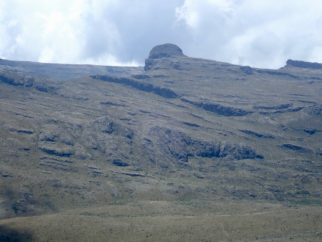
distinct valley down on your left hand side. The trail enters a saddle in the caldera that
separates the highest summit on Mount Elgon from Mubiyi. Shortly before this saddle, turn left
and pick your way up easy slopes
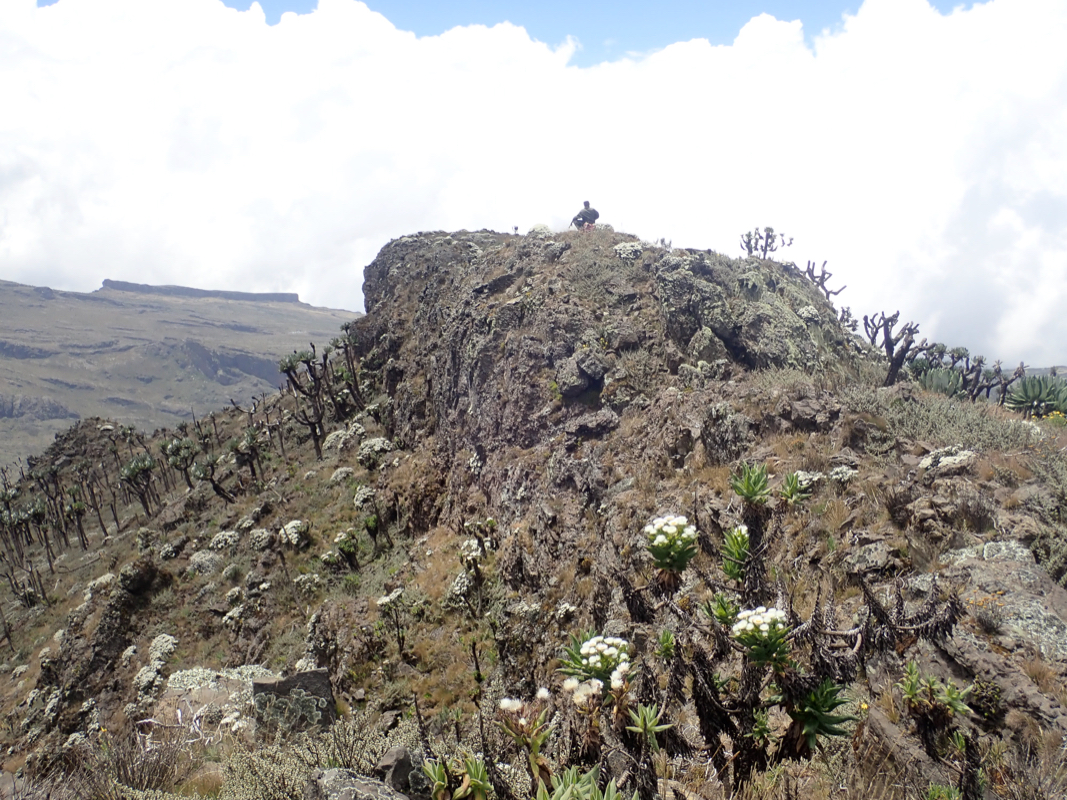
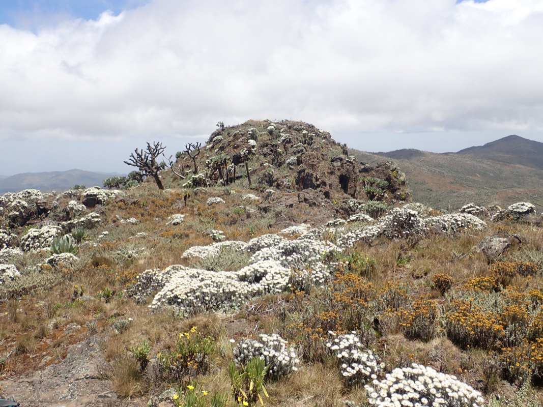
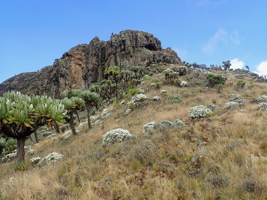
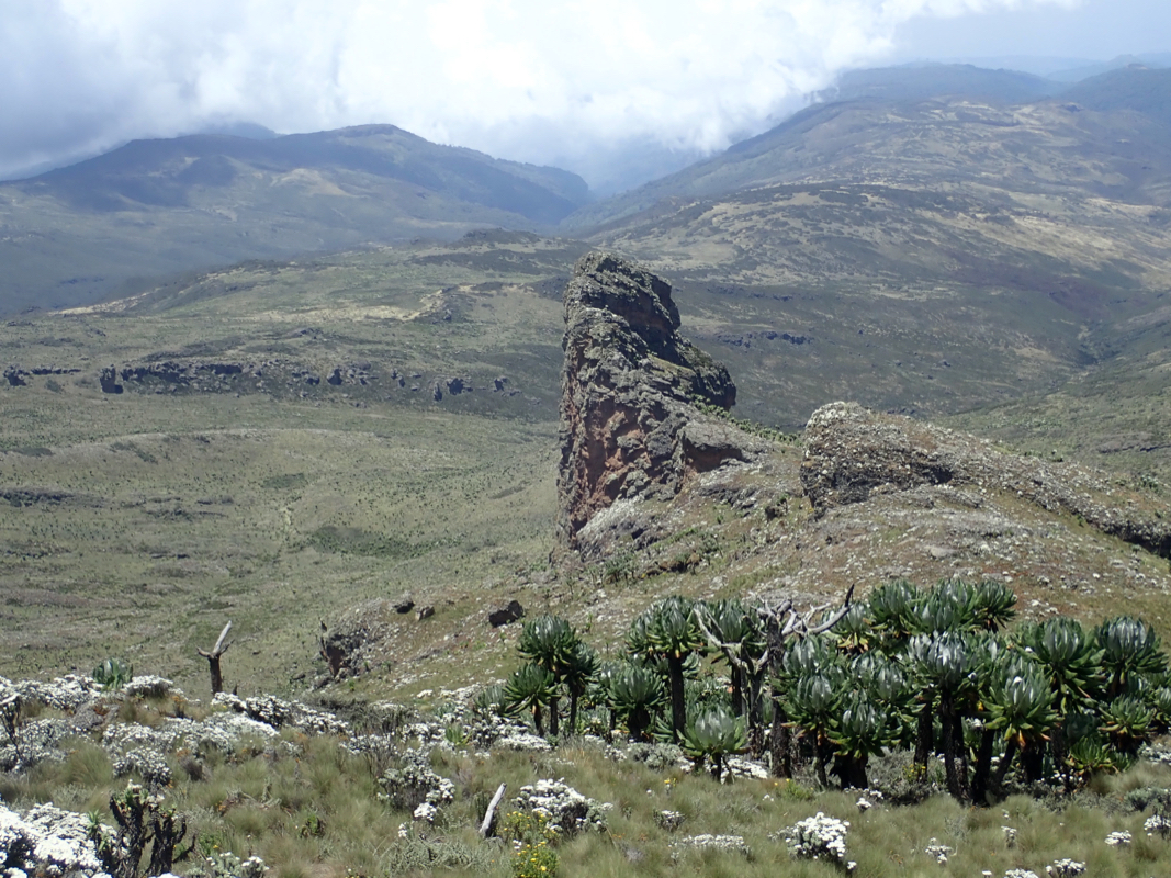
to the summit of Mubiyi.The summit
consists of a short summit ridge with
three competing high points. The middle point may be the highest.
Comments:
This trip report continues from our climb of Mount Elgon.
Shortly after we left the summit
of Mount Elgon,
we decided to also climb
Mubiyi. The obvious way to do this was just to continue along the caldera rim
where the trail descended left back down towards Camp II. The terrain was easy and
we were soon down near the saddle that separates the two peaks.
We next walked (no trail) uphill to the top
of Mubiyi, arriving there at 1245.
We visited all 3 contenders for the high point, our guess was that the middle
peak may be slightly higher. Leaving at 1300, we spent a leisurely 2 hours
walking back to Camp II. The Swiss couple that we had seen at the guesthouse as well
as a party coming more or less directly from London, had arrived.
We had a nice evening, knowing that all important goals had been reached.
The next morning, February 16th., we left at 0715 and were back at Camp I in
one hour, at 0815. After a 15 minute break, we continued at 0830, soon back to
the cliff, down the stairs, entering the
farming area, then
back to the upper village by 1030.
The bikes showed
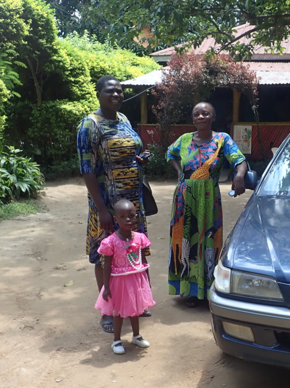
up and before long, we were at the guesthouse. We settled
the bill there, then the woman from the National Park Office showed up with
a small girl (below the age of 2).
She told us the girl (her daughter) had
been sick all night complaining about her ears. If we could give her a lift to
see a doctor in Mbale? This was certainly a good thing to do and we were going there
anyway.
This trip report continues with Timboroa.
