Mount Evans
- Mount Evans
- 4348 m
- Primary factor 842 m
- 14th in Colorado
- Location: North 39:35.317, West 105:38.567
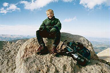
- Climbed October 15, 2000.
- Visited August 14, 2012.
|
|
Information:
How to get there:
A good starting point is Guanella Pass. To drive there,
take I-70 west from Denver to the small village Georgestown.
The road up to Guanella Pass starts in the southern end of town,
there are many signs directing the driver to Guanella Pass.
The road is paved about half way to a reservoir and a power
transformation site, from there the road is a good quality
dirt road. There are a couple of large parking areas just before
the road reaches its highest point.
Route description:
Our route started at the summit of Mount Bierstadt. An alternate
route would be to follow our return hike both ways.
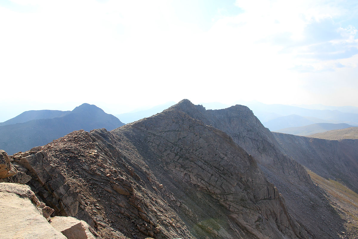
From the Bierstadt summit one should climb down the ridge to
the Sawtooth, a ridge connecting Bierstadt with Mount Evans.
This ridge is generally very steep to the west (left side), while
considerably less difficult on the eastern side. We proceeded along
the top ridge a few meters from the Bierstadt summit, then a choice of
going left or right (of a blocking rock structure) had to be made.
It seems like most people drop east (right), in fact, for a considerable
part of the ridge traverse one can go low on the right side, but then
one is really not doing a ridge traverse any more. We turned left and hiked
down a gully for about 10-15 meters, then regained the main ridge (
downside from the obstacle) via
a nice "shelf" of rocks. The hike should now try to stay as high
on the ridge as possible, in a few places we had to sidestep more
difficult sections to the right side, however, one never needs to
go very far off the main ridge line.
There are (short) sections where hands are needed, and one spot with
nice flat (but narrow!) rocks that form a walking path on the very
top of the ridge. As the ridge rises distinctly, one proceeds to
scramble up a fairly steep section (look for a couple of small cairns),
then reach a more level area where a small trail leads west (left)
onto a connecting ledge that leads into a large and fairly wide gully
with lots of loose rocks above a significant vertical drop further
down. Contour around this area above the loose rocks and find a narrow,
but distinct ledge that leads upwards and to the left. This ledge ends
at a very pronounced flat area forming the left "upper corner" of
the mountain face that otherwise seems to block the access to Mount
Evans from the Sawtooth. For hikers coming in the opposite direction
there is a fairly large cairn at the top of this route indicating
how and where to start the descent.
The hike from the end of Sawtooth to the highest point of Mount Evans
begins by crossing a fairly level section that also connects across to
Mount Spalding (4219m) then
follows a nice summit ridge with several (false) summits. There is a fairly
steep drop to the north. The last false summit is quite high, in fact,
it can only be a few feet? lower than the proper summit further onwards.
The road and the parking area come into view at the very end of
the hike and can be completely avoided. It is easier and faster
(but less interesting) to cover this
section of the hike by staying off the ridge on the south side.
The return route started back along the north-west ridge of Evans, staying
on the south (left) side of the ridge aiming for the low saddle between
Sawtooth and the Evans ridge. Descending north-west, the gully coming
from Mount Spalding and going west should be crossed as one stays above
the cliffs at about 3960m. (We got a bit low and had to climb
slightly after crossing the gully, higher up this gully
may not be so noticable.) A gentle descent in easy terrain continues
north-west towards the creek that runs south-west from the saddle between
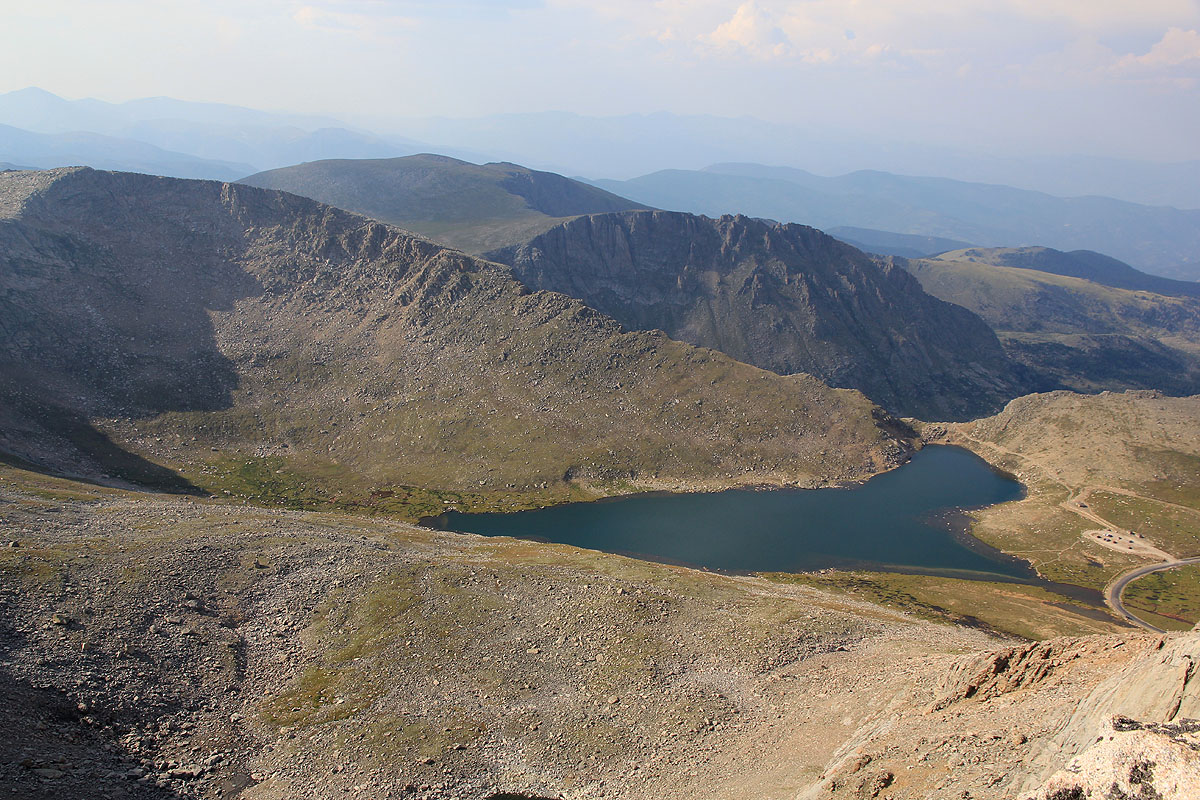
Gray Wolf Mountain and Mount Spalding. Cross the creek and aim for the
triangular shaped lake near Guanella Pass. This line of hike will get you
down to a small pond just before a small hill with trees. There is a small
trail going around the pond on the south (left) side. Continuing up the
open fields towards the small hill and one will (finally!) find a quite
visible trail leading over and down the small hillside. This trail is
quite nice as it leads directly towards the parking area and avoids
most of the willows. The final stretch is a bit more confused, but
does go through (the willows) and ends directly
at the (lower) parking area. Thus, this
trail does not branch off from (connect with) the main trail going
to Bierstadt. The best landmark for hiking in the opposite direction
is the small but distinct hill (with large trees on it) about 1.5km
east (slightly north of straight east) of the parking at Guanella Pass.
Comments:
I did this hike with Pål Jørgen, age 11 in mid October,
but there were only a few patches of snow on the Sawtooth ridge. It is
clear that the final section of the Sawtooth can get quite a bit harder
with more snow and require technical gear.
It took us 2:15 from the car to Mount Bierstadt, we enjoyed the Sawtooth
in warm October sunshine for about 2:30 hours and then another 1:30 to
scramble along the north-west summit ridge of Mount Evans (including
a couple of rests) to the summit. We were at the summit as late as
1600 (due to a late start from Boulder) and realized that it being
mid-October, we should hurry back before dark. We hit the car at 1845,
about 2:30 from Mount Evans and
just before dark. It is clear that walking the final mile in the
dark among all the willows and mud might not be the happiest memory, so
one should be careful watching the time on this hike.
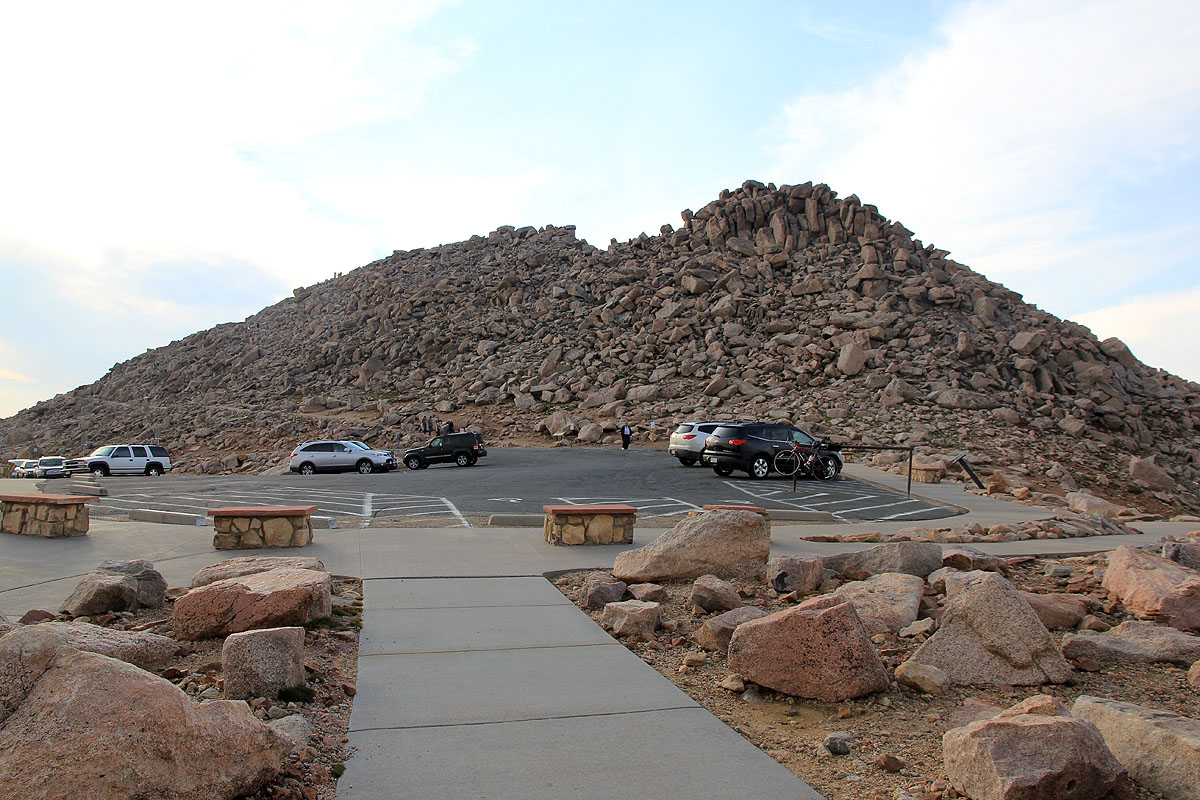
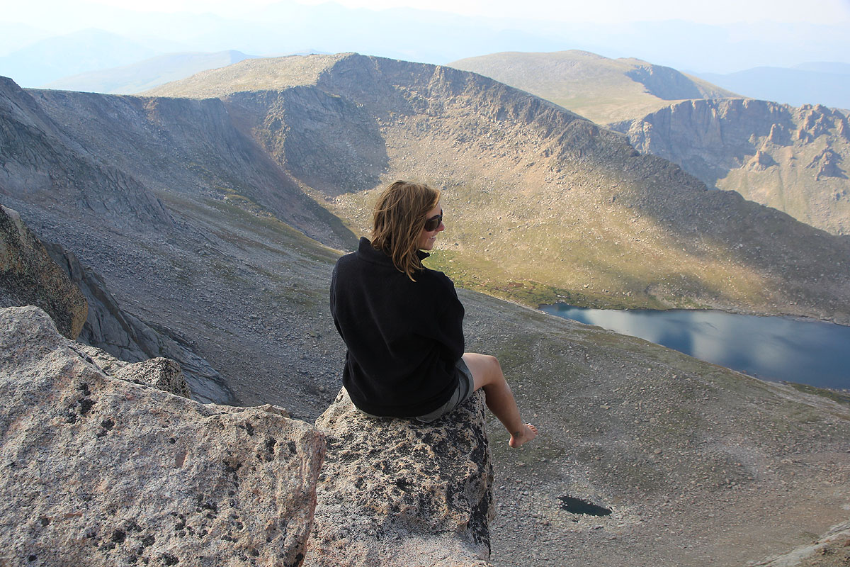
I visited this peak again on August 14, 2012.
This visit was a drive-up.
Here is a quick reference and summary of all
peaks visited on my 2012 summertrip to the USA.
Resources: