Mount Seton (Goat Mountain)
- Mount Seton (Goat Mountainn)
- 2855 m
- Primary factor 1580 m
- British Columbia, Canada.
- Location: North 50.62376, West 122.25996 (GPS on the summit.)
- Difficulty: YDS class 2
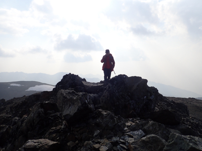
- Climbed August 23. 2018
Mount Seton (Goat Mountain)
|
|
How to get there:
Route description:
There is a clear marker on the right hand side of the road to indicate the start of the trail.
If it is missing, just search for the trail, it should be easy to find. The start is
quite a bit left (when looking uphill) from the creek. However, the trail initially
moves towards the top ridgeline that follows the creek, thus one should always be able
to find it.
This trail is quite well marked with ribbons (blue and yellow) as well as cairns.
Once you are on the trail, just follow it (well marked). Eventually, the trail will
get you close to location N50.60707, W122.24142, elevation about 2000 meter. At this point
the trail markers were hard to find. The terrain looks steeper ahead. It is important to ascend
to your (uphill) right here. Ascend open areas between trees as you get closer to the creek.
Higher up, one can bypass some dense vegetation by going very close to the creek near the top
of the cliff. Follow the creek higher up and reach very nice and easy open terrain.
If one ascends to the left here, it is easy to end up in the wrong valley, see comments below.
Continue into the upper basin below Mount Seton and pass between the two (bigger) lakes.
Looking uphill, one will see a broad gully/face, mostly scree that runs up to a broad, shallow saddle
immediately left of the peak. Despite the scree, this is the best and recommended route. One
can find more solid ground at least along some parts of the ascent. As soon as the slope
eases one may start heading more right to ascend the final slope leading to the summit.
Comments: