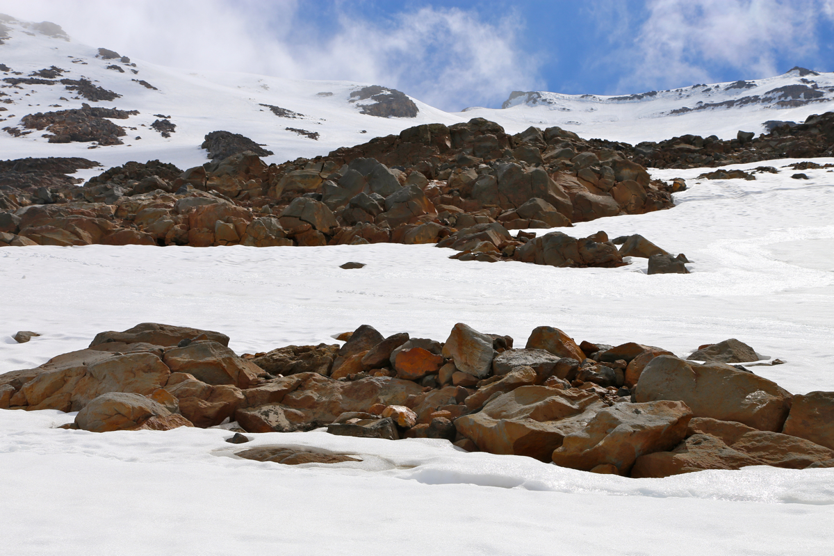
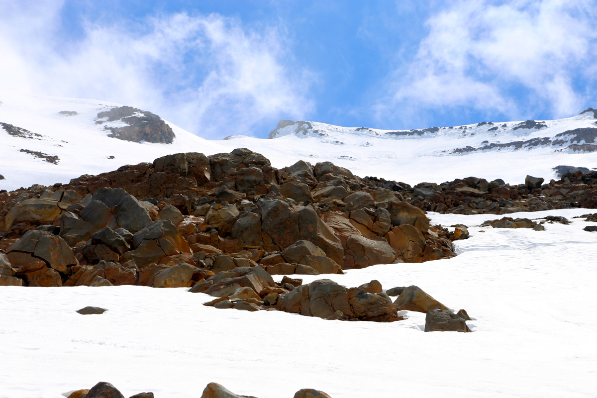
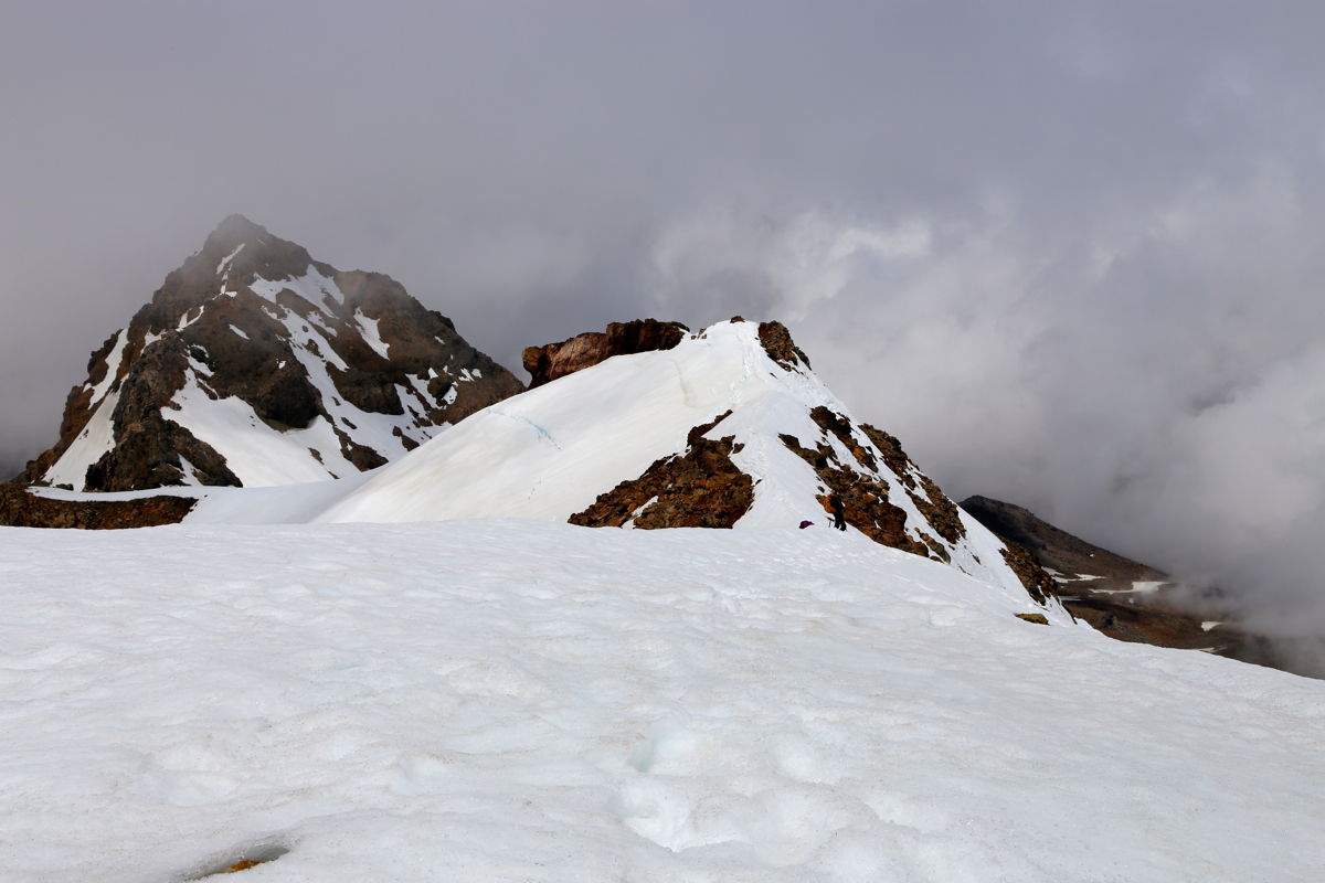
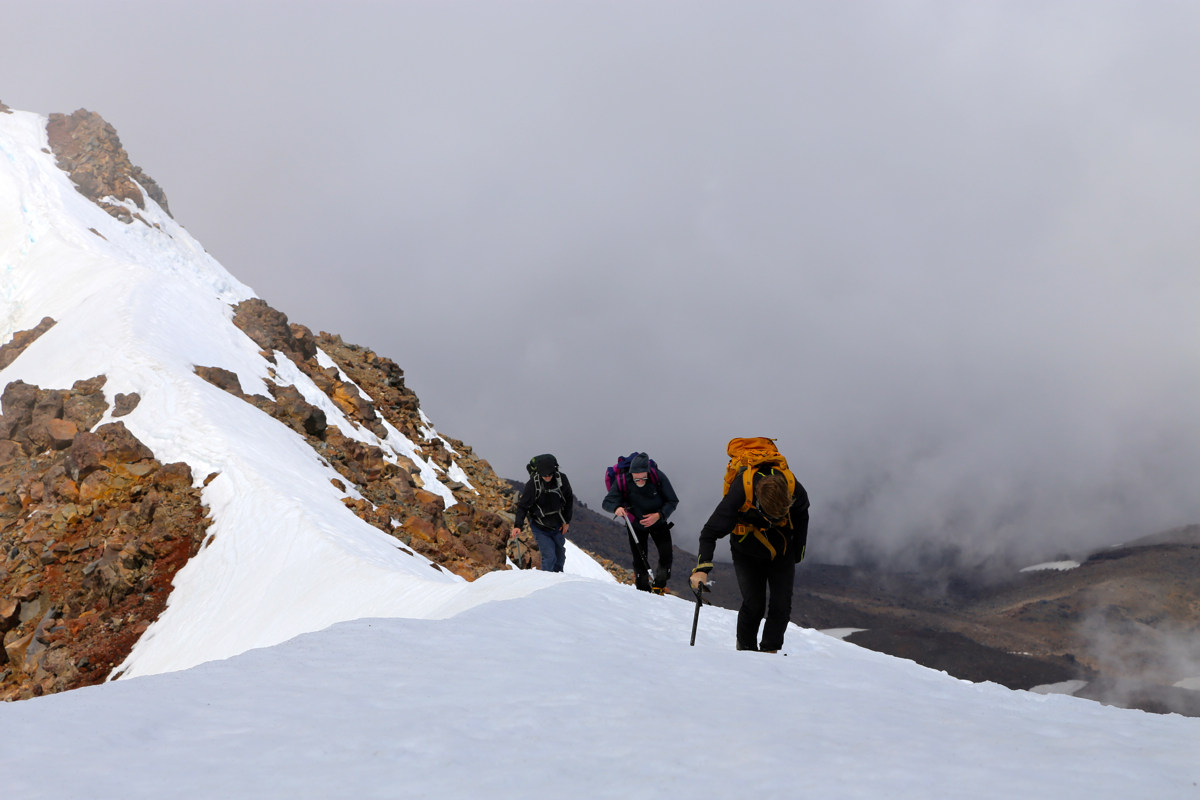
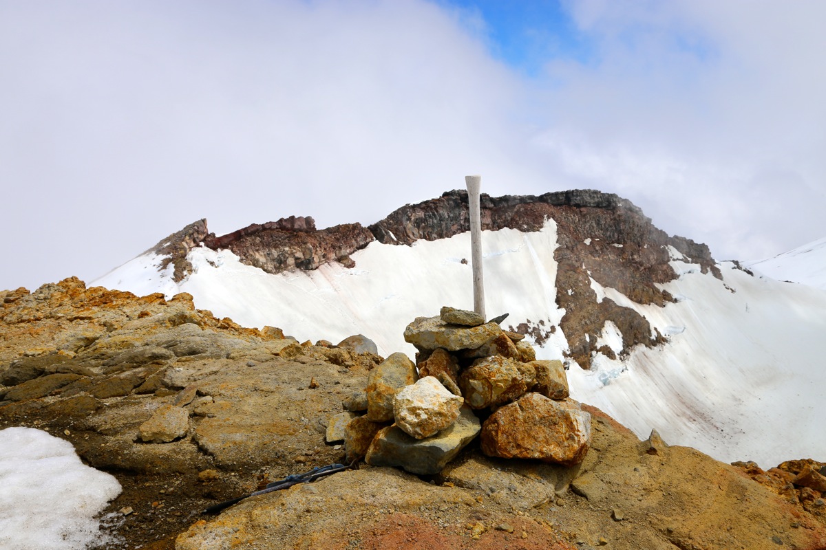
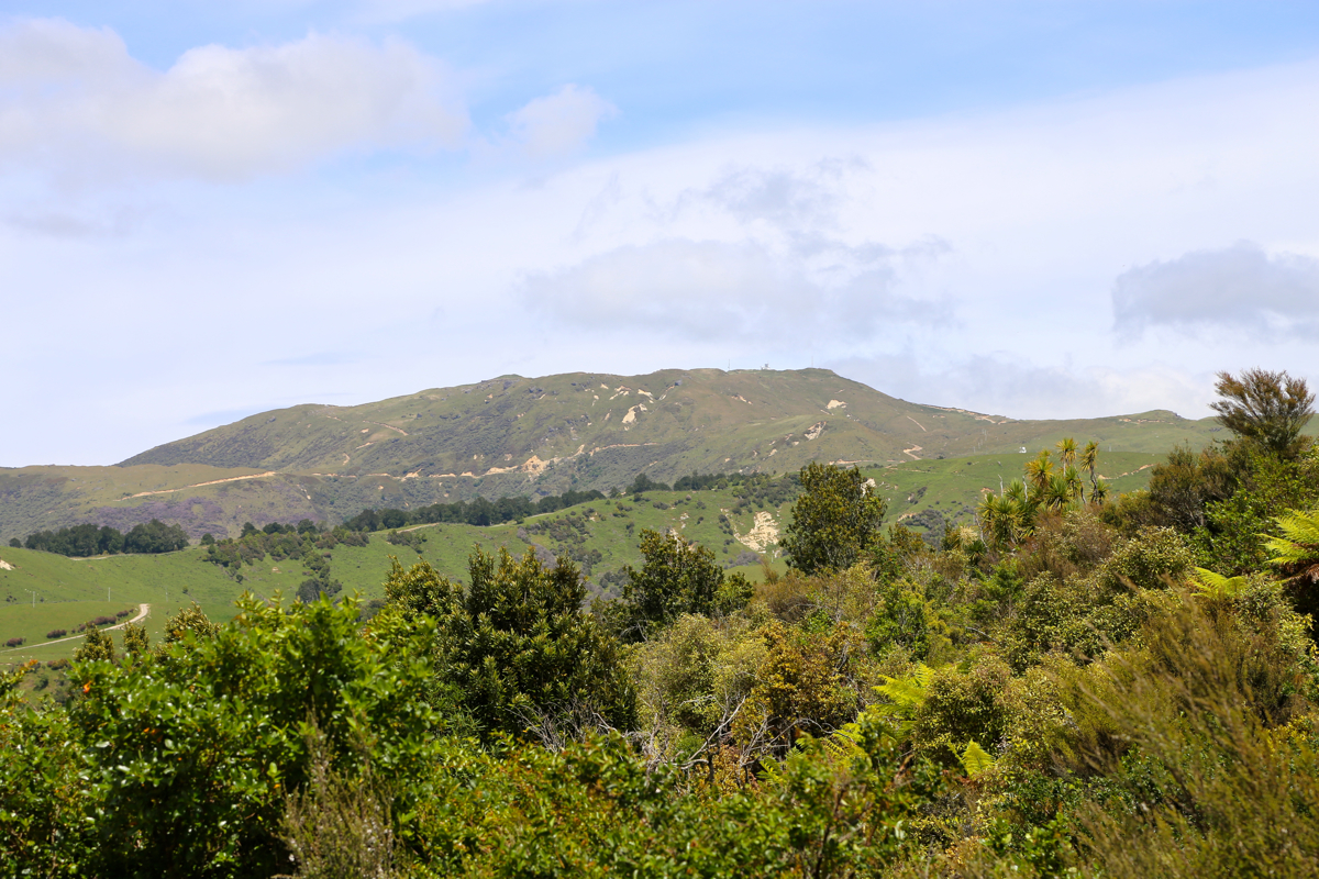
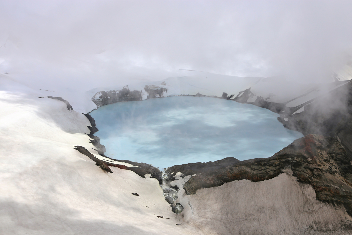
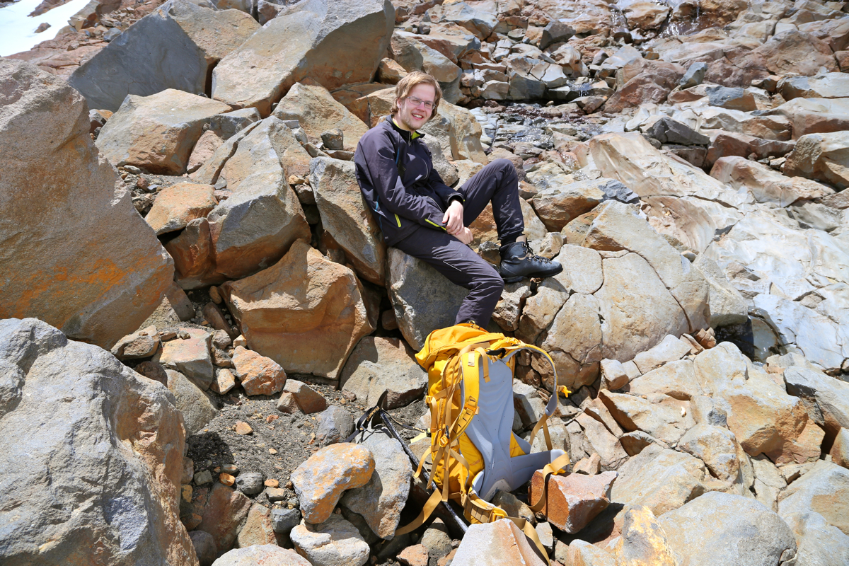
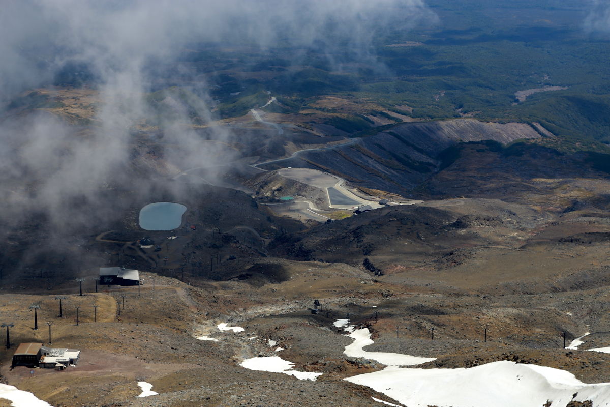
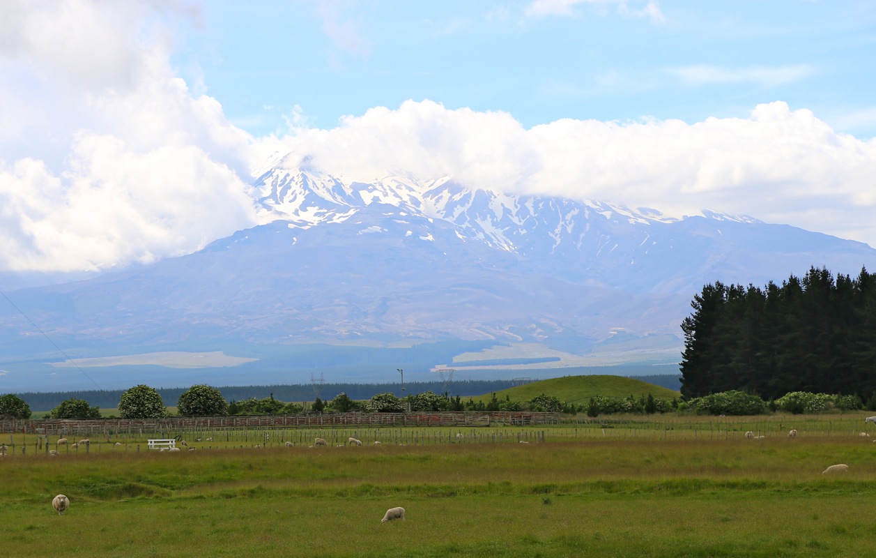
Mount Ruapehu (Tahurangi)
- Mount Ruapehu (Tahurangi)
- 2797 m
- Primary factor 2797 m
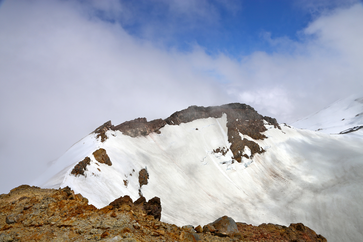
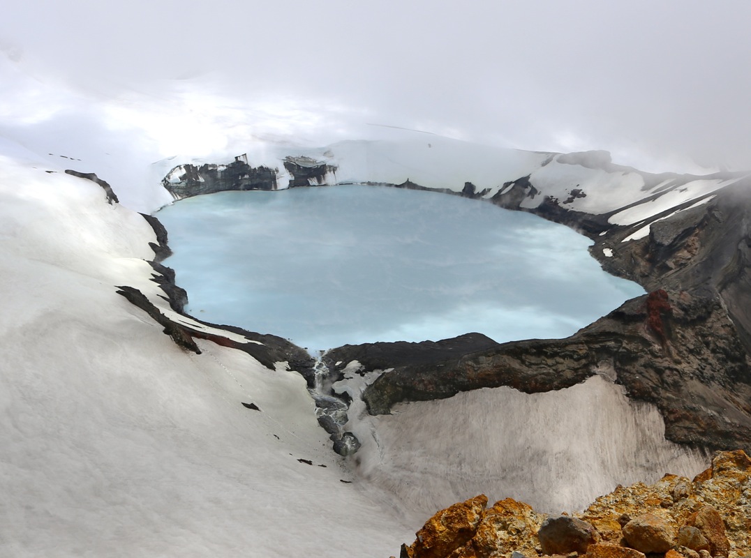
- New Zealand, North island HP.
- Location: South 39.28944, East 175.56244 (GPS on the summit)
- Difficulty: YDS class 3
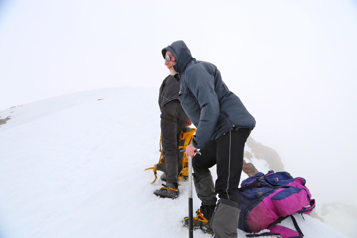
- Climbed December 30. 2014.
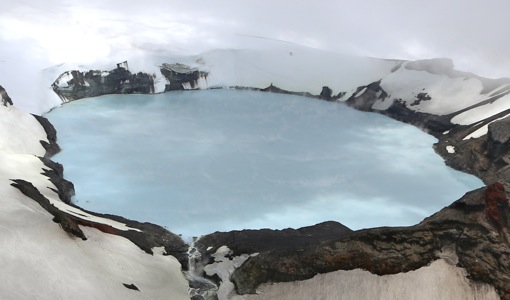
Mount Ruapehu (Tahurangi)
|
|