Serra da Neve
- Serra da Neve
- 2489 m
- Prominence 1610 m
- Location: South 12.46289. East 015.17360 (GPS)
- Difficulty: YDS class 2+
- Climbed: October 23, 2023
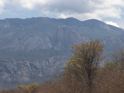
Serra da Neve
|
|
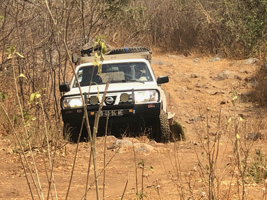
First, drive as high as you
can on the rough mountain access road.
We stopped at
location S13.80050, E013.27378, elevation slightly above 1000 meter. The road is quite
rough. An even more "ruggedized" vehicle with (very) high clearance might be able to drive
substantially higher.
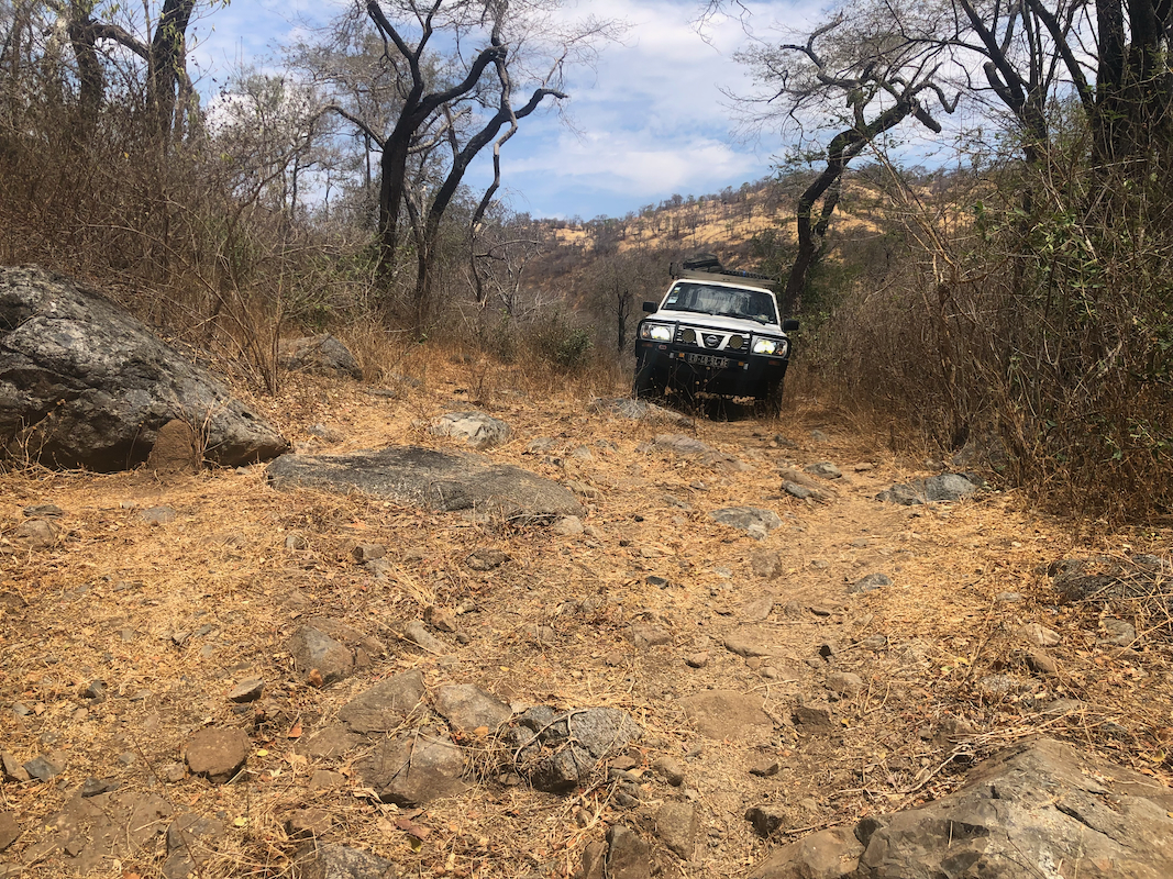
Continue up the road, there are several trail short-cuts where the road makes larger bends.
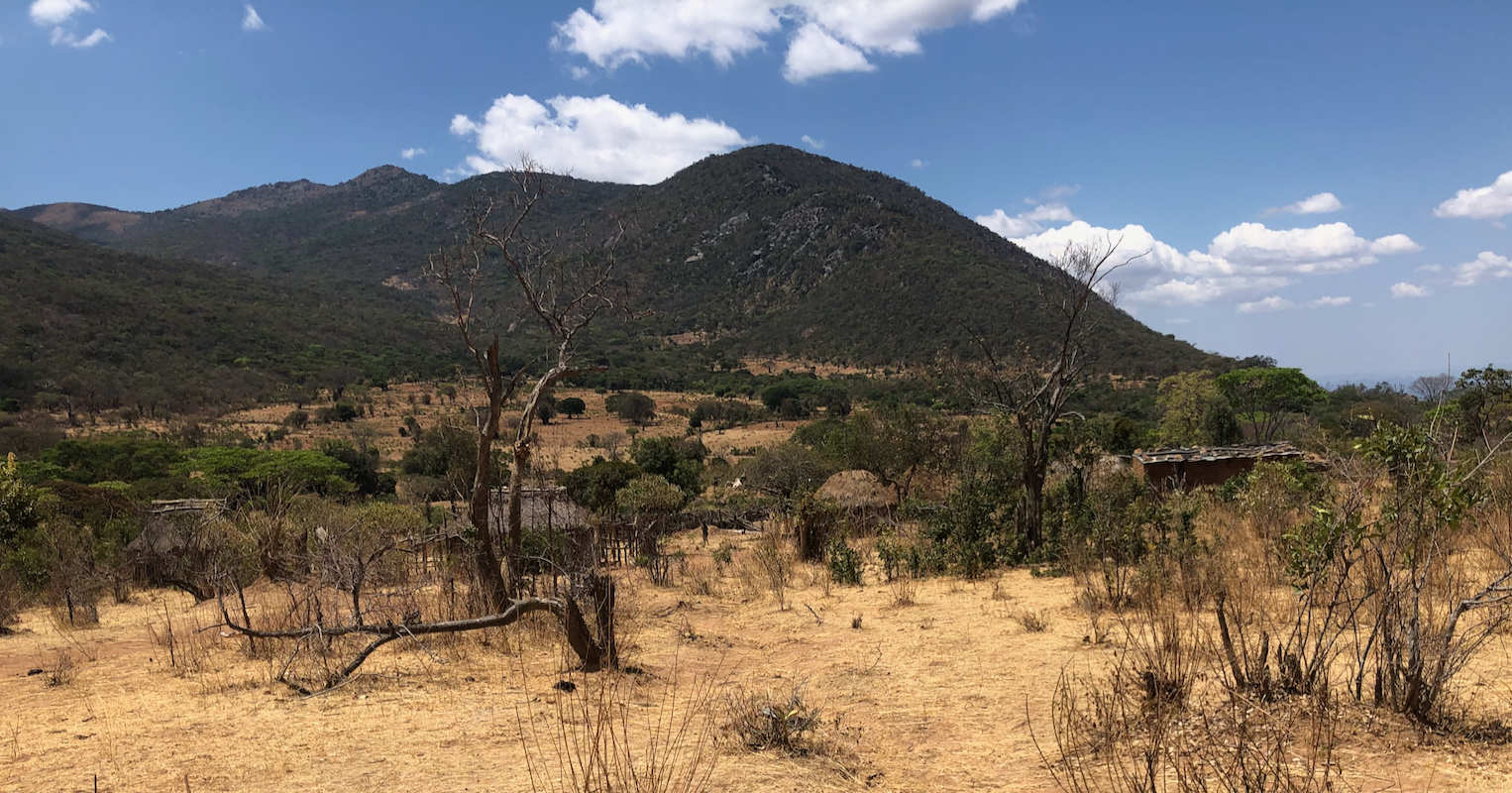
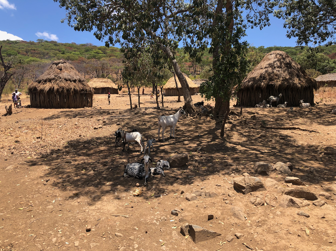
You will pass the main crest and descend to a flat
area having a small village,
The road continues up the valley with a couple of switch-backs, then enters a smaller valley.
After crossing the (often dry) creek a few times, the trail continues staying on the (hikers)
right hnd side, then reaching a small upper village.
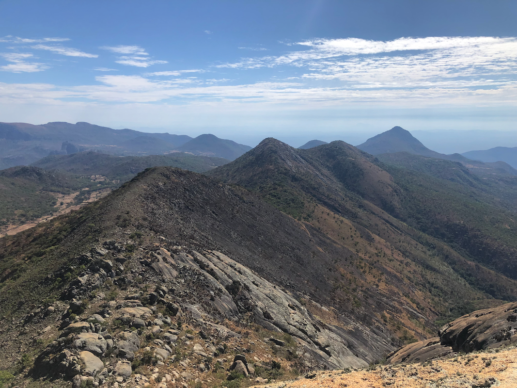
There are several trails in this area, however the route continues in a consistent direction, staying
a bit left (going towards the mountain) to reach a broad, main crest. Descend slightly, keeping near
the hillside on your left to reach our waypoint "fork", location S13.77605, E013.18720, elevation around
2110 meter. From here, head directly uphill. The terrain will get quite agreeable -easy to walk following
animal tracks. Do an ascending traverse right. You may now aim for the saddle just east (left) of the
East summit, in order to visit both summits, or take a line immediately below the black rock below the
East summit to gain the col between the two summits.
Both summits may be climbed from their east side, the traverse between them is also quite easy.
There is no exposure and only a few spots where you may need to use your hands. The overall
route stays at (YDS) class 2, perhaps class 2+.
Comments:
After our ascent of Moro do Moco on October 20., we drove to the
city of Huambo. On the following day we continued to a hotel in Lubango. On October 22nd., we
left our hotel at 0600 and drove 5 hours to a local turn-off on the south side of the mountain.
After another 2.5 hours of driving on pretty bad roads, we
decided to stop and camp, our car would
struggle (too much) if we should have tried to get much higher.
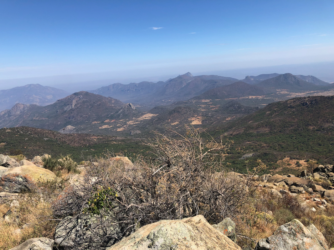
The hike to the summit is quite long from this starting point. The sun is already making the days
(it is spring), quite hot. One member of our group, Rockinstraw, decided to start already at midnight,
while Dave and I would start at 0300.
All according to plan, we were hiking at 0300. After one hour and 400 meter vertical, we cached some
water for our (then much warmer) return hike. We continued to 0530, now we could turn off our lights
and cache the light as well as some more water. We were now at about 1750 meter of elevation.
The next waypoint was what we called the "fork", our friends Rob, McLellans and Deividas had climbed
to the main ridge from here, then returned more directly down from the peak to join the return
track at this point. Here, we met Rockinstraw, very nice, he had summited and was now on his way
back.
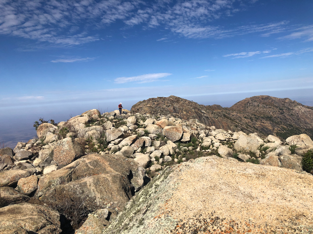
We decided to climb towards the ridge, Rockinstraw had only been to the West summit, believed
to be the highest point and an ultra prominent peak. However, it was very nice to hike on an
ascending traverse that brought us to the col east of the East summit. This summit is almost
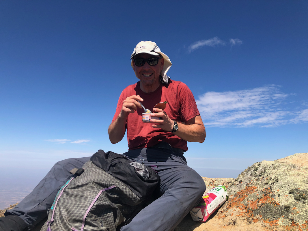
equally high and we wanted to climb it first. We arrived there at 0830, exactly 5.5 hours after
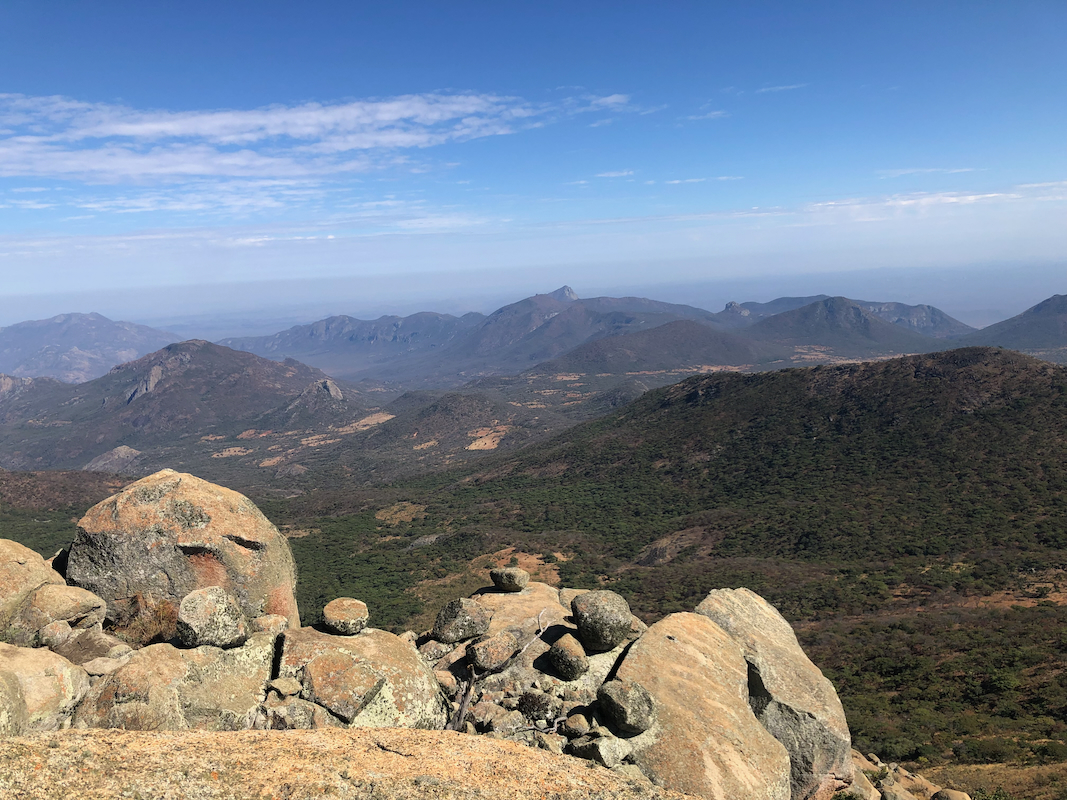
our start. Nice views all around.
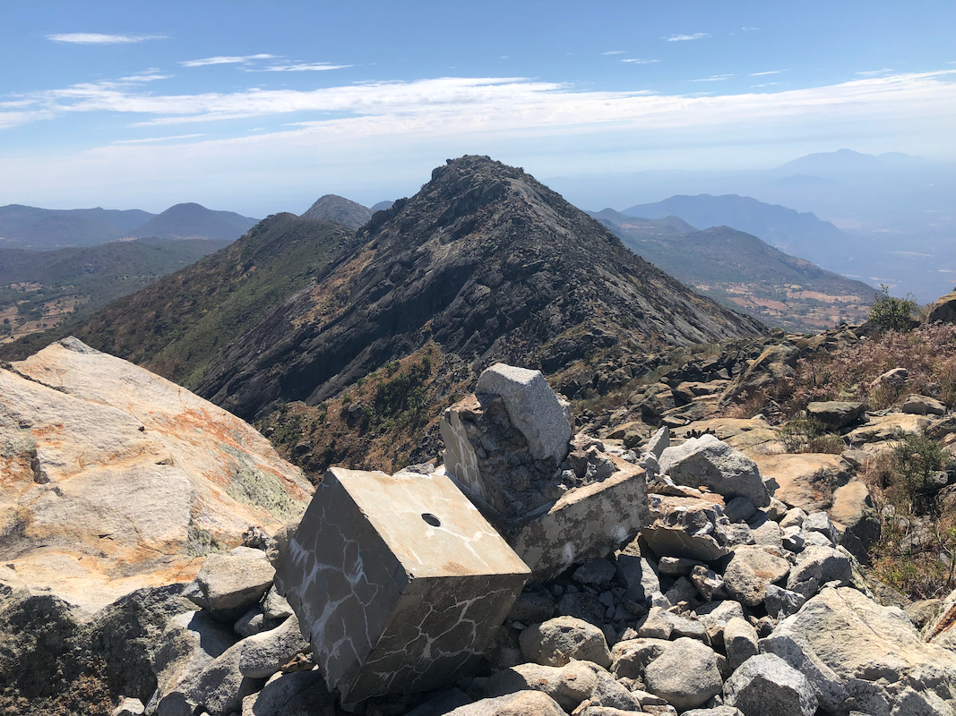
I tried my hand leveller to check the elevation of the
West summit. The conclusion was that the two peaks are very similar and that a measurement also
in the opposite direction would be needed.
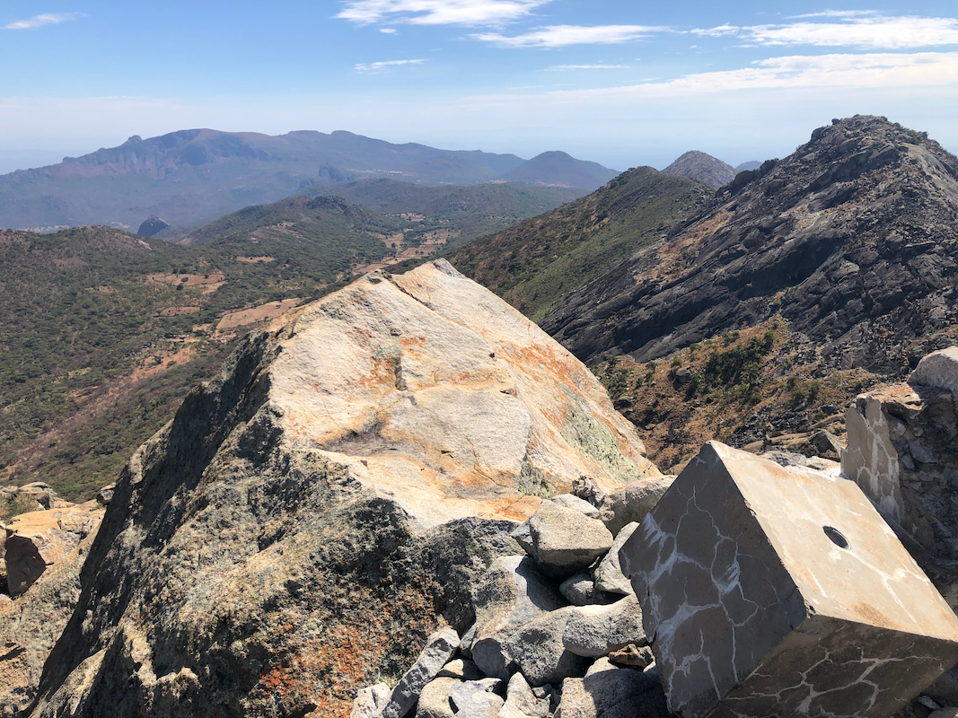
We left the East summit at 0845 and picked our way (pretty easy) across
to the West summit, arriving there
around 0900. A nice view all around.
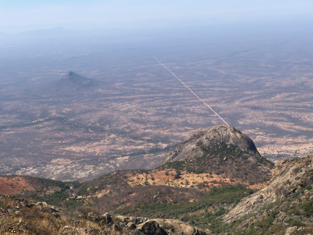
We noted the access road to this area coming in from
the south. Using the hand level from the West summit confirmed earlier findings, it is indeed the
higher point by a slim margin.
Leaving at 0915, we descended back down to the col, then dropped down on the north side just enough
to traverse below the slick rock areas below the East summit. There were several animal trails that now
nicely made us traverse back to our ascent route. We were back down at our "fork cache" by 1015.
What remained was the long walk back down to our camp. I felt the pain from my heal increasingly
more as the time out walking exceeded my normal hiking times. Somewhat surprising and
very unexpected, I got an injury to my left heel back in September. It is called
Planar Fasccitt, very unpleasant as you feel pain every time your foot/heel touches the ground
while walking. This is normally every step with my left foot.
Still, we made reasonable progress, it got hot and water to drink was indeed needed. We retrieved
our caches and walked back to camp arriving there around 1445, so a total hike of 11:45.
Many thanks to Dave, as he stayed with me the entire duration of this trip, he could clearly
have walked a bit faster if solo.
We agreed to have breakfast the next morning at 0600. Our trip would continue with a flight
from Lubango at 2025. It took us about 8 hours to get to our camp-site. Thus, driving around
0700 would get us back to Lubango around 1500, about 5 hours before our flight.
However, things did not go as planned. We tried to leave at 0700, but the truck would not
start. Flat battery! Something clearly had drained the battery during the night.
Inexcusable. Well, we were on top of a rough hill. A little pushing and we got the car
to roll down the hill. Big and steep enough to allow Bruno, our driver, 3 attempts to
start the car. I felt 95 percent convinced that the hill was big enough to do the trick.
I have started cars with flat batteries many, many times, mostly 40-50 years ago.
The car did not start. A problem suddenly got much bigger.
Bruno had a satellite phone and informed the Tour-Company about the problem. Also, his Dad
that he seemed to trust being able to help get assistance. With an 8 hour travel time from here to
Lubango, it seemed clear that we needed a truck come up here before 1100 in order to catch our
flight back to Luanda. As I write this, the time is 1300 and there is still no word (5 hours since we
called for assistance) of any vehicle on its way here. Paul, the owner of Eco-Tur, has informed us
that he will fly to Lubango this evening. Hopefully, somebody will start driving this way before
he arrives.
The new plan is that we will transfer directly by car to Namibia. This may save some time.
The time is now 1400 and we have a confirmation that a rescue car has started out from Lubango.
With 8 hours, they may be here arond 2000, that is well after dark. If we drive tonight, we should be
in Lubango by tomorrow morning. We will then have about 12 hours to drive, be driven to
Windhoek, where we then hopefully, can catch up with our original schedule.
Assistance arrived shortly before 1800, very good news.
A very strong looking Toyota Landcruiser, there is a reason that this is the car of
choice in countries like Angola.
A new battery and a fix of a bad connection
solved the problem, our car is running.
We now need to find the best possible way to get to our next mountain in Namibia
back on schedule. The drive back to Lubango took only 5 hours - again good news. A late dinner,
then bed preparing for the long drive tomorrow.