Mutis
- Mutis
- 2427 m.
- Prominence: 1980 m
- West Timor island, Indonesia.
- Location: South S9.56047, East 124.22757 (GPS)
- Difficulty: (YDS) class 1
- Climbed June 20th, 2023.
Mutis
|
|
How to get there:
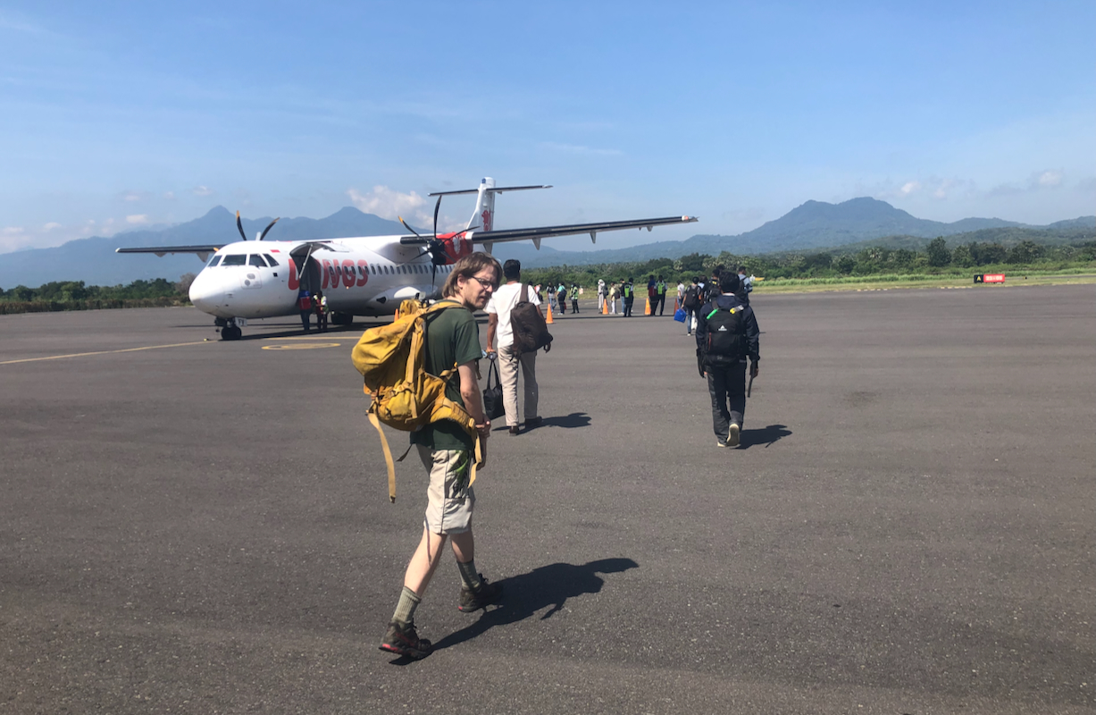
This mountain is on West Timor. An easy way to travel
would be a direct flight
from Bali to Kupang, the main town on the west side of the island. From Kupang,
travel north-east to the town named Soe. Hotel Dena in Soe is a good place to stay.
The hotel can help organize transport to the mountain.
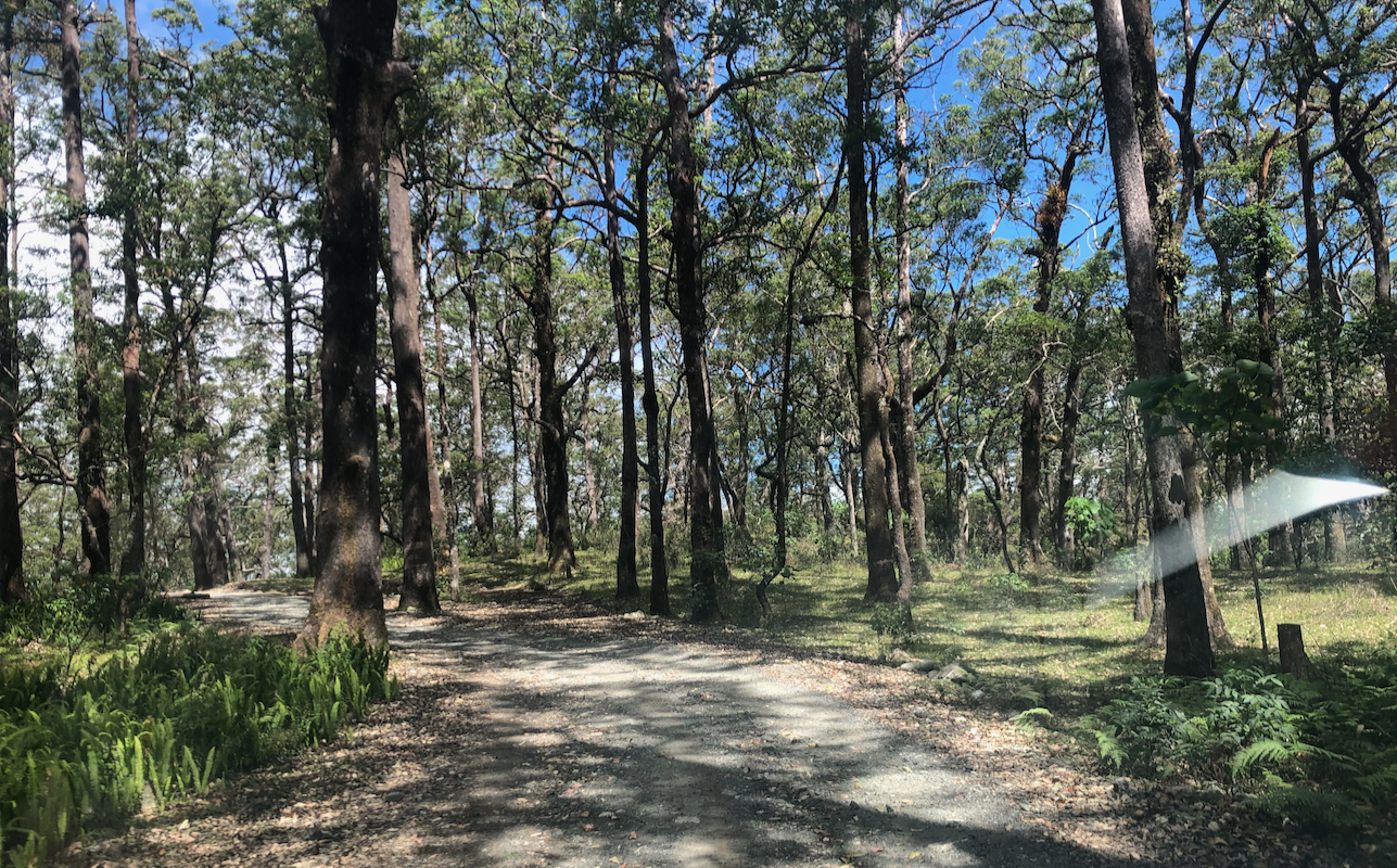
From Soe, travel north to the small village of Fatumnasi. Continue on the same
road, you will drive through a portal with the name Mutis.
The road winds through a nice forest.
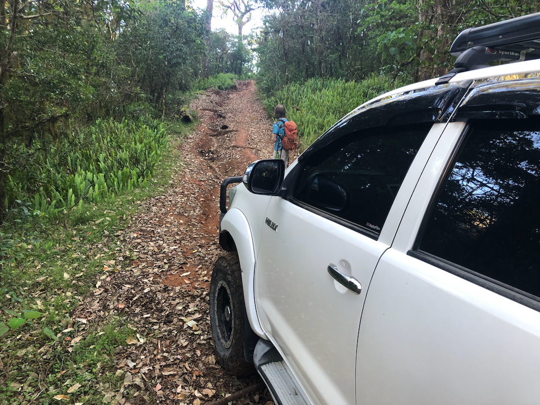
Continue to location
S9.610023, E124.224069, elevation near 1760 meter. A very rough road continues right.
This is the trailhead.
Route description:
This hike is a straightforward walk on a good trail, no issues any place. Highly recommended.
From the trailhead, follow the old road until it emerges at a pretty large grass area.
This road may be driven partway
with a sturdy 4WD, but progress is likely to be
similar to walking.
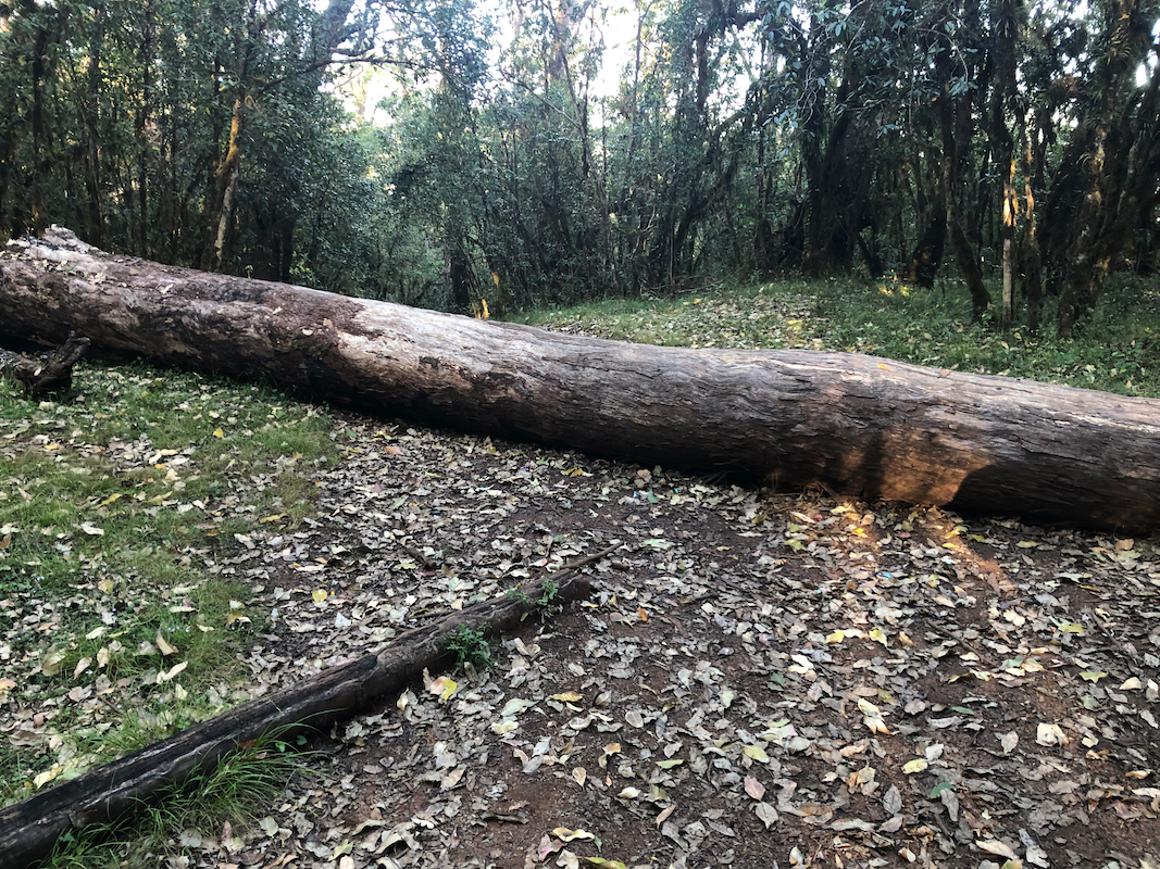
A big log blocks vehicles near location
S9.599607, E124.229333, elevation about 1800 meter.
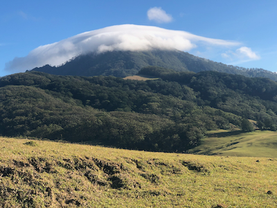
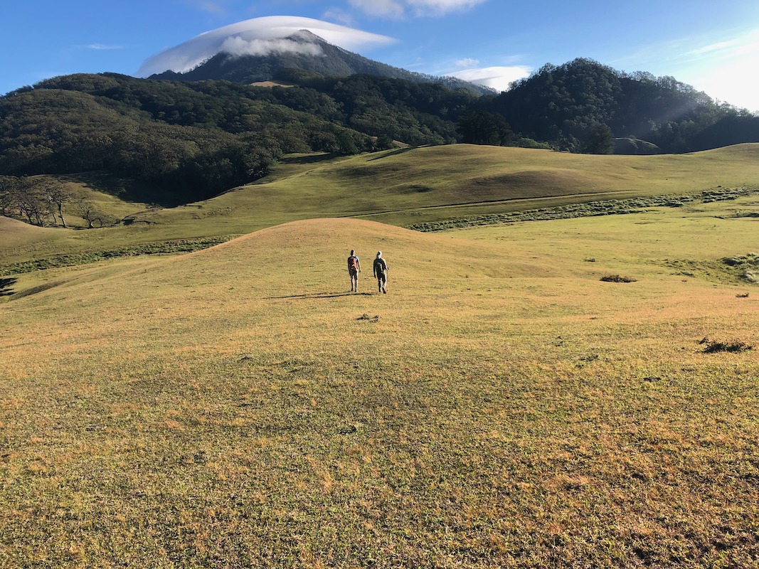
The mountain comes into clear view as you enter the grassy field.
Descend the grass area and cross the slightly wet (short) section below, it is somewhat less wet
if you keep a bit right. Continue ascending the gentle grass slope on the other side. Bear right
as you near the top. Continue along the top ridge
to your right. You will have a gully with a small
creek down on your left side. At location S9.585218, E124.236000, elevation near 1760m, you leave the
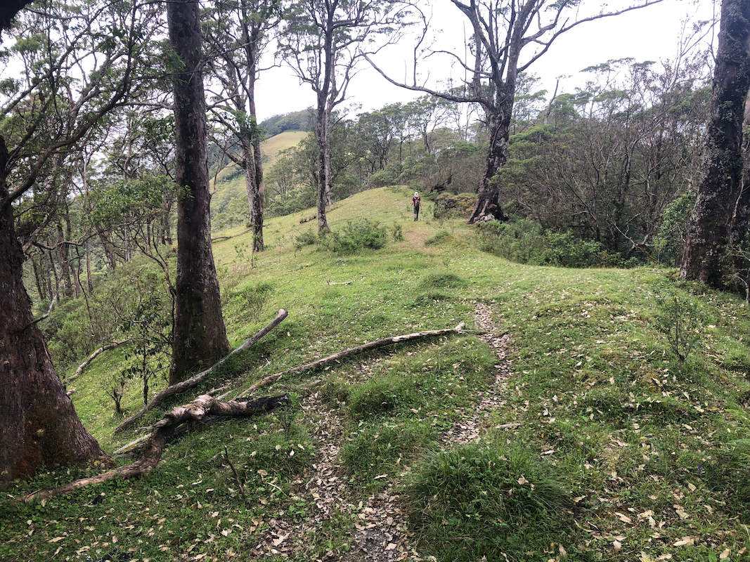
grassy area and enter a nice trail that will climb uphill, then emerge out onto a new grassy area.
Ascend this grass to the top ridge, keeping right on the far side and descending slightly should
get you to the beginning of a good trail, again entering the forest. The trail traverses the hillside,
slighty higher terrain up right, then follows a ridge that connects to the final (long) slope/ridge of
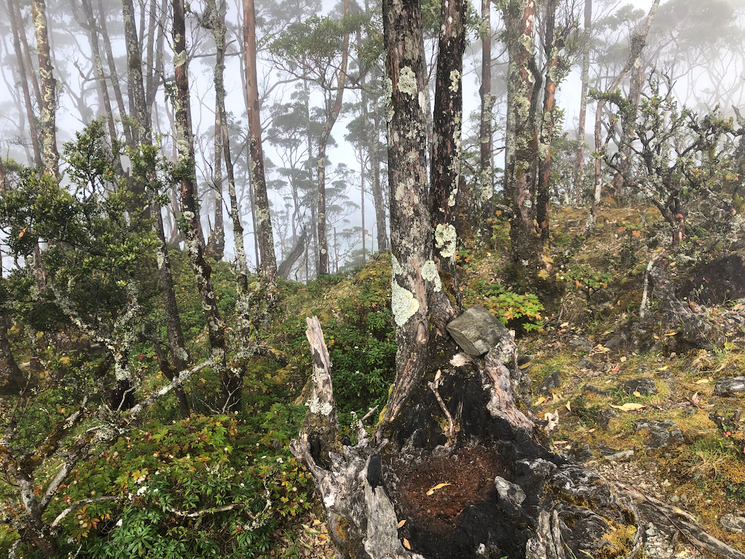
Mutis. Ascend on a good trail until this tops out on a pretty distinct summit.
Note that this is a false summit, more than 10 meter low. Turn left and descend to a shallow col.
A short, quite nice walk along the ridge, then a final,
easy ascent to the true summit. The summit
is marked with a concrete pillar.
Comments / Trip report:
We had driven east on the island of Flores and arrived in Maumere. The plan was to travel to
the east port of Larantuka, then travel to the two islands immediately east and climb Labalekang and
Boleng. However, our very competent driver, Roland, contacted a friend on the island and was
told that the two peaks were closed for climbing, this according to the local police. A similar
closing had just happened on Bali. Bad news. I proposed that we quickly change plans and fly to
West Timor the next morning.
We arrived in Kupang early afternoon and got a Grab taxi to Soe, 600.000 IDR, quite expensive.
Dena hotel received us well and a 4WD, Hilux with driver secured for 0500 departure the next morning.
We left on time, but the time was already 0700 when our driver decided to stop, he had then
driven part of the rough road past the trailhead, stopping before the final hills that only would
have gotten us to the blocking log.
We left at 0705 and arrived at the false summit by 0900, the true summit at 0905.
A 20 minute break there. Unfortunately, the summit already had clouds. We left at 0925, returning
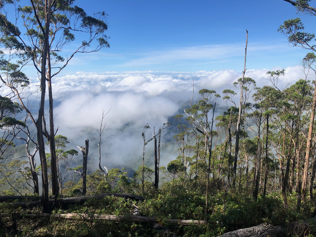
to the car at 1100. Interesting view from the ridge as
we descended. Good weather with sun most of
the way, it was only the top of the hill that had collected a cloud. Another 2 hours to drive
back for lunch around 1300.
As it turned out, our message about the closure most likely was a misunderstanding of some sort.
However, a decision was needed before this could be checked in a reliable way. Such things do happen.
We therefore continued to explore West Timor and planned to visit Fatu Timau
the following day.