How to get there:
At N36.427, E004.2062, fork sharply right and continue on a good
dirt road until location N36.424735. E004.232894, elevation
about 1350 meter. Park here.
Route description:
There are two routes, one from the north and one from the south. This description
covers the south route.
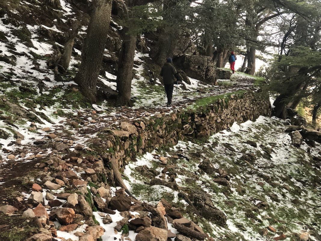
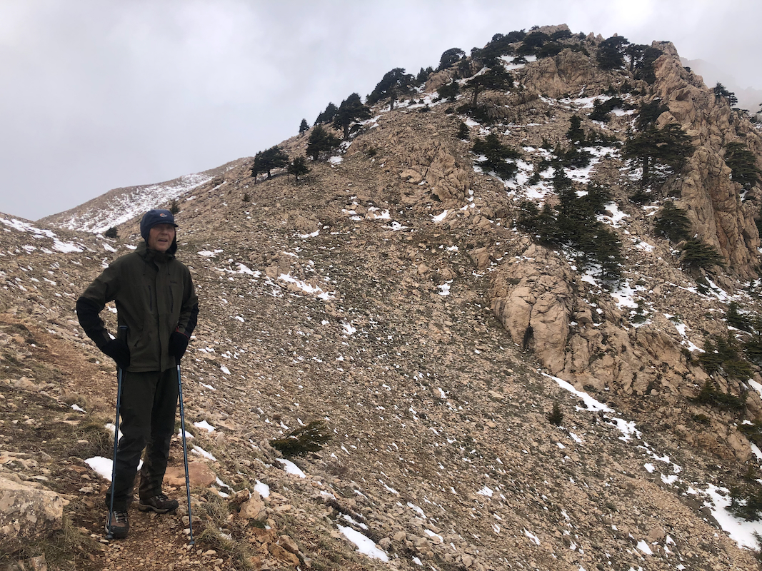
The south route has a very well built trail essentially all the way from the road
to the summit. Quite a surprise. It must have been a pretty big project with a large
number of workers. In many locations
the trail has been
supported by stone walls, all
very well made.
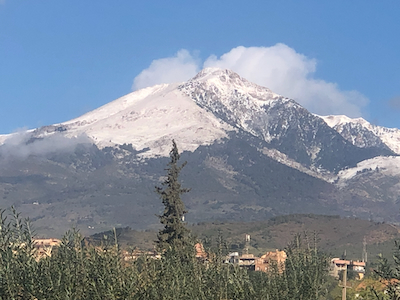
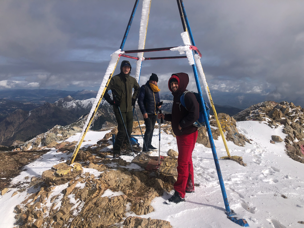
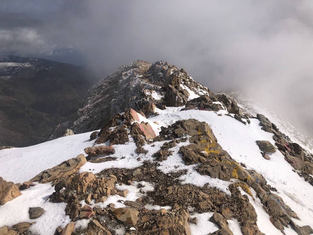
Finally, you gain the main crest and get an impressive view north. From here,
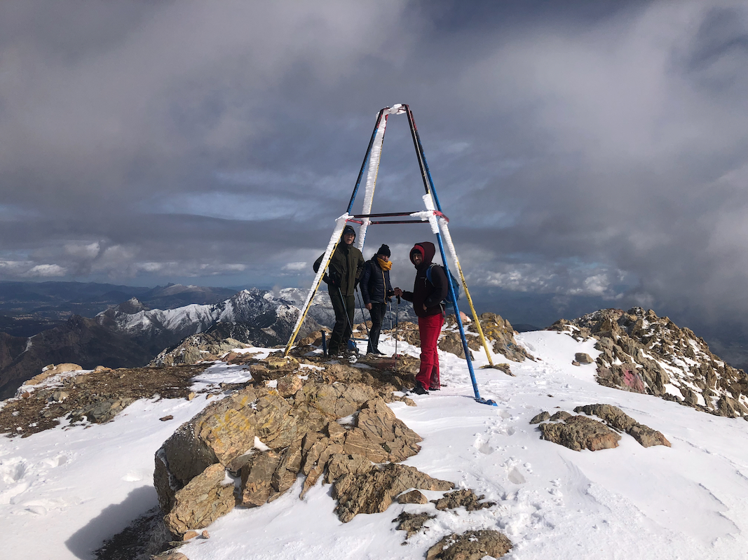
a short ascent to the summit ridge, then a pretty horizontal traverse before
arriving at the summit marker. Comments:
After a long drive with police escort from the trailhead of Djebel Shelia, we
stayed at Residence Hotel the previous night. We where ready around 0800, but as always, there were
various smaller issues that caused a slight delay in our departure.
Our trip guide, Soufxxx had hired a young local guide that also came along.
We were at the trailhead by 1030 and started walking by 1040. I was surprised by the quality of the
trail, this was obviously man-made and a considerable effort had been invested.
Per was moving well, I had decided that we
should try to walk a bit slower than yesterday.
We arrived at the summit at 1340, so 3 hours up.
It was breezy, but overall pretty good visibility.
We stayed 10 minutes, allowing for the normal summit photos.
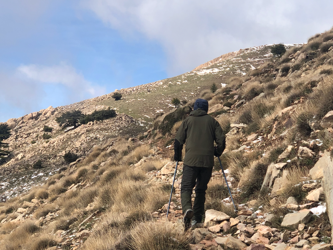
Descending, I decided that Per should
follow the trail and avoid
the slightly steeper short-cuts that we had taken on ascent.
Back at the car by 1610. Per was tired while descending the last 100 meter and obviously
a bit shaken after the fall he had somewhat higher up.