How to get there:
Most people will travel tourist town Sharm el Sheik. This location
has pretty good connections by air.
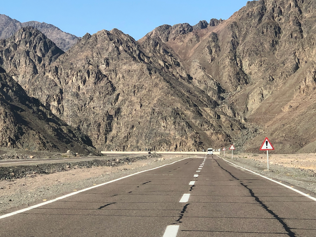
From Sharm el Sheik, drive north then west to the small town
Saint Catherine. Travel time approximately 3 hours. There are many
police check points along the road and sometimes traffic is only allowed
to pass at certain hours. When departing Saint Cathrine, I needed to decide
between 0800, 1000, 1200, etc. only every 2 hours.
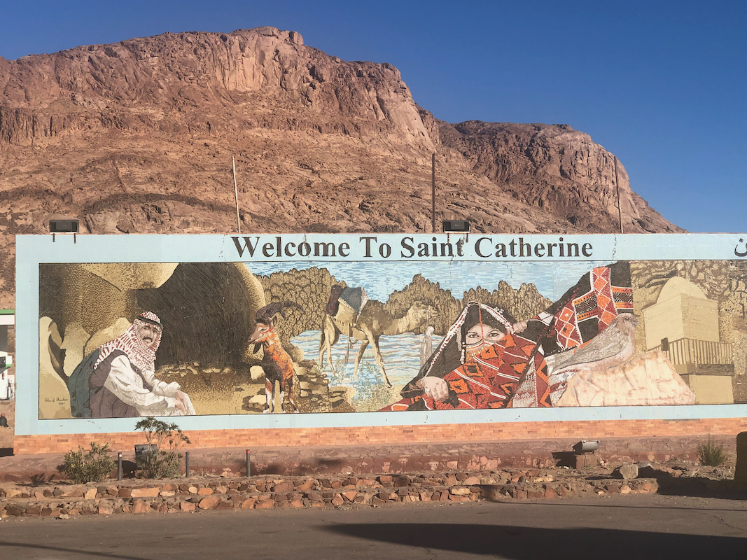
As you enter the border of Saint Cathrine,
a tourist entrance fee of USD 5. is
collected.
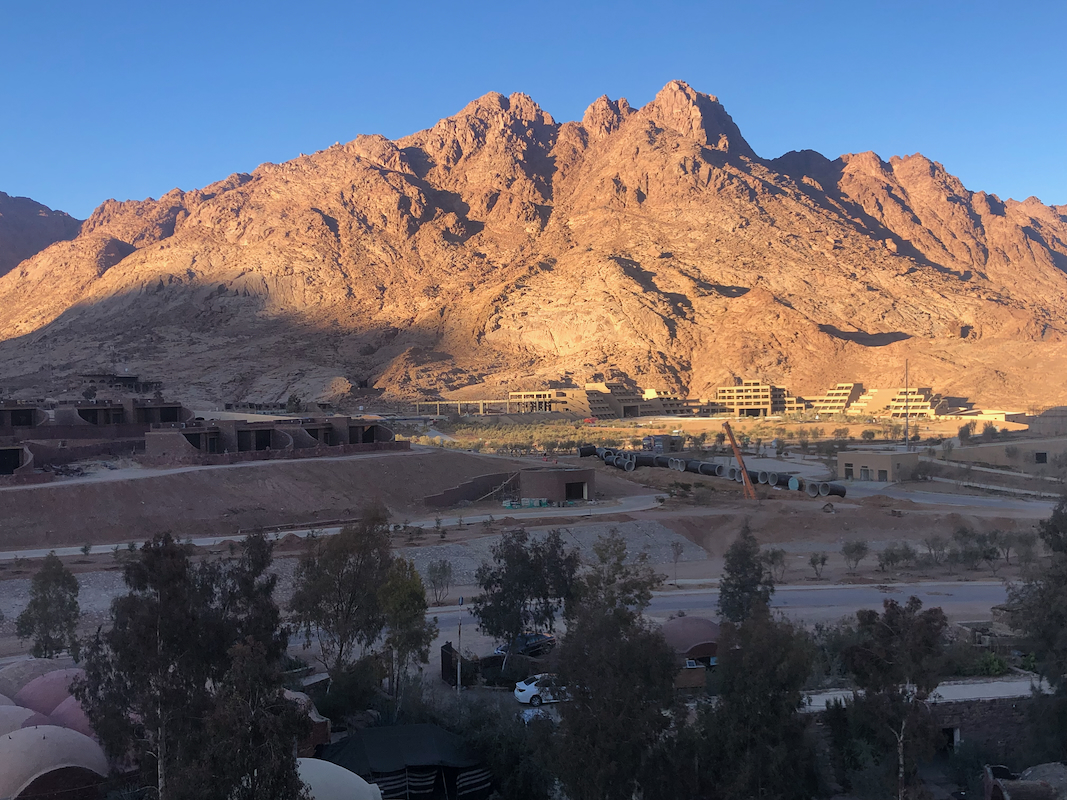
A large number of upscale tourist accommodations
are being built in Saint Cathrine,
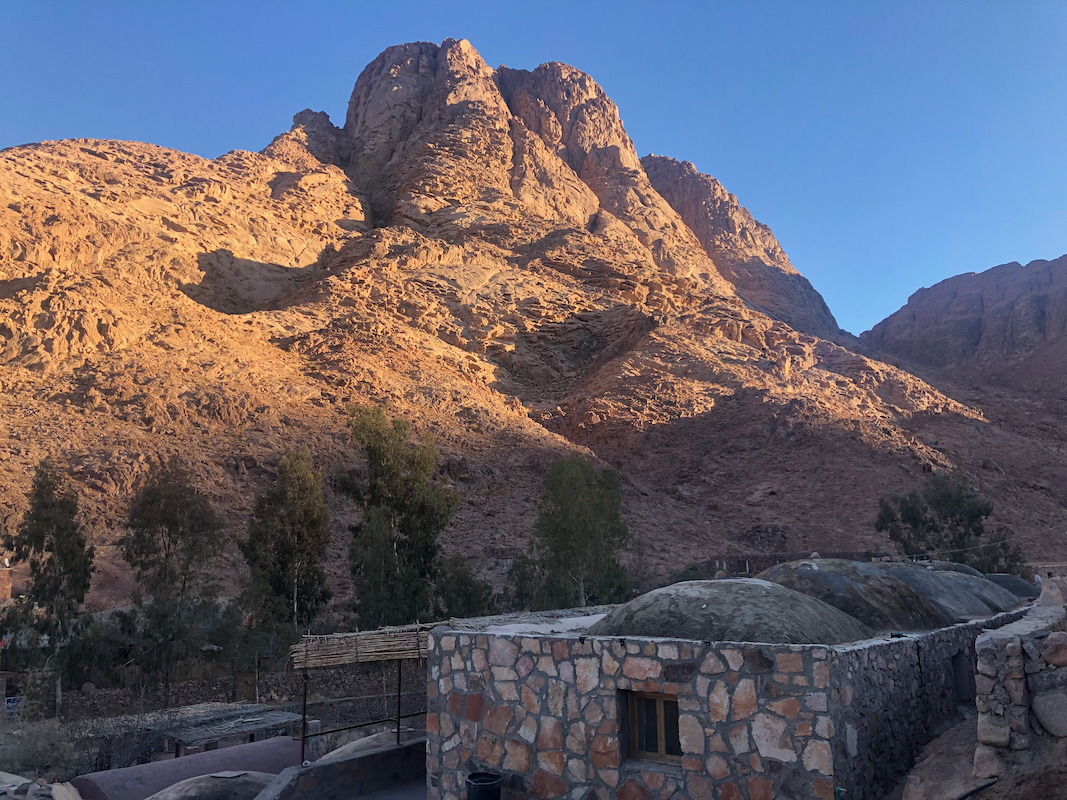
however the recommended place to stay is Fox Camp,
a more authentic, slightly
rustic accommodation, however the rooms are clean and very adequate indeed. The
people at this camp can organize the climb, a guide is mandatory, not really
needed, but you contribute to the local economy.
Route description:
There are several variations. The standard route heads south-east from
Saint Cathrene in a valley that ascends very gradually to a monastry.
A variation runs in a parallel valley to the north, this trail ascends more
in the beginning, starting directly from the Fox Camp, near location
N28.56395. E033.95840. This variation runs a bit higher and descends about 50 meter
at the end to the same monastry. The monastry is located near location
N28.53483. E033.9656, elevation about 1775 meter.
From here, the route follows a wide, nice trail into the valley heading
south-east. Initially, on the left side of the (dry) creek, then soon across to
its right hand side and ascending the slope on that side away from the bottom.
The trail will cross the main crest higher up providing views to the west.
Finally, after many zig-zags, it enters a more level area. You will have the
north summit with a small church, up on your right, while the slightly higher
south summit is straight ahead. You will also notice a road (badly dammaged)
coming up from the east serving the south summit with antennas.
Head directly along the final stretch of this road towards the south summit.
The final climb is a nice patH, a few concrete steps and a concrete/asphalt
part. The entire summit area is full of (military) garbage. Someone should
really clean up the mess.
The north summit has a (closed) small church and otherwise much nicer and cleaner.
Return the same way to the monastry, then pick either of the two vallys
for a return hike.
Comments:
I left Bergen on a 1000 flight to Copenhagen. We had a local snow storm at the
time and after boarding the airplane, the runway shut down since it needed to be
snow plowed. This took 3 hours and we finally departed at 1300. Fortunately, my
flight to Cairo was not until 1500. An expected long wait in Copenhagen was reduced
to a quick transfer.
Arriving in Sharm el Sheik as late as 2330, I had advised the hotel that my check-in
time would be between 2400 and 0100. For the first time, I tried to pre-book a taxi
from the airport to the hotel. Everything seemed to work as expected, the taxi dropped
me at the hotel and I tried to check in.
Surprisingly, they did not find my reservation. It was supposed to be at Sunrise Remal Beach Resort,
but the taxi had dropped me at a different hotel named Sunrise Remal Resort. Close, but no cigar.
They very friendly assured that they could get a car and drive me to the correct hotel, thus
around 0100, I finally checked in and went to bed.
Breakfast the next morning was ok and pick-up by a driver from Fox Camp had been agreed at 1100-1200.
Shortly after noon, I called to check the status of the car. I was informed that it was waiting
outside. No car. When asking the local staff, they informed me that such a car would not be
permitted through the outer gate, thus I needed to walk there. OK, not exactly a good way
to serve guests, but no big deal. However, the expected car was not there. What now? I had a hotel
person call the driver. It turned out that he was indeed waiting
outside Sunrise Remal Beach Resort,
BUT I had been sleeping in Sunrise Arabic Beach Resort,
that is yet another hotel.
Thus, the confusion
was pretty complete. My driver came across and finally, we could start driving north.
While driving (a bit fast?) a camel suddenly
decided to cross, we needed to brake, but no drama.
After a large number of police check points and stops at 2 gas stations, we arrived at
Fox Camp and were very warmly welcomed. Hot tea was served and I moved into a nice room.
Dinner at 1900 and a planned start tomorrow at 0700.
When I showed up for dinner, it had somehow been cancelled. I walked across town to a restaurant
named Cleopatra and had dinner.
Again, slightly confusing as I ordered chicken from the menu and
failed to see that at the very bottom of the page the word pizza was written. When it was served,
I asked "what is this", with the equally clear answer "chicken".
The next morning was cold and crisp. The sun already hitting the tops around town.
After a nice breakfast, my assigned guide showed up precisely at 0700 and we immediately
started hiking directly into the small valley that sort of ends at Fox Camp.
The path was good and we were soon descending into the main valley with the monastries. Next,
ascending the valley towards our mountain. We reached the level area just below the north summit
in 3 hours. My guide wanted to wait there while I visited the two peaks. I first went to the
south, since I knew it was the highest. Arriving at 1015, I climbed onto the roof of the small
building and took some pictures. Just below it, I used my sight level to confirm that I
was indeed higher than the church on the north summit.
Next, traversing to the church summit. This is nicer without all the garbage that is scattered
around on the south summit. I had some water and a couple of cookies. Looking back with my
sight level, it consistently showed me to be lower. My GPS read 2653 meter on the south summit,
but only 2646 meter here. My guess is that the correct difference is less than 7 meter.
