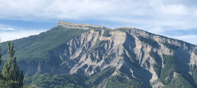
How to get there:
Locate Hwy. D--994, running east-west just south of Pic de Bure.
Turn south at location N44.56002, E5.95664. This road is D-18, signed for Ceuse.
Drive this road until it ends near a hotel and the base of the local ski area. This location
is N44.51856, E005.93701, elevation 1525 meter.
Route description:
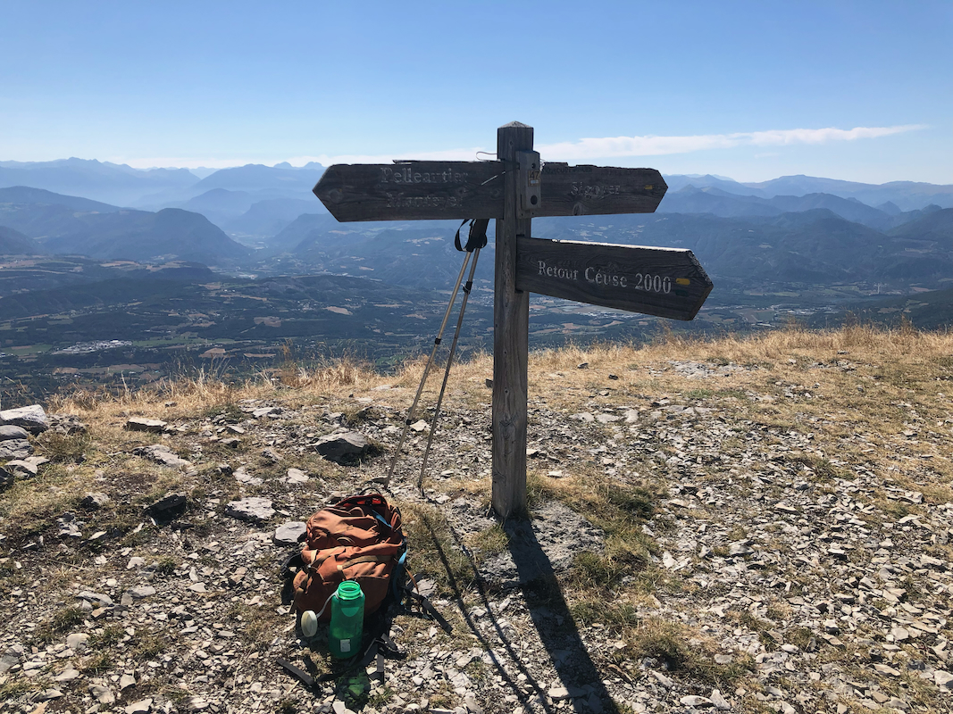
Head uphill along the dirt road that starts at the trailhead. This road will curve left and climb the
nearby hill. Higher up, the road turns into a tractor track and trail. Follow this trail as it crosses
over two local hills with some minor loss of elevation on each. The trail will curve left and take you
directly to the summit without much trouble.
Comments:
We did this peak as a travel peak on our way from Hotel Neyrette to Hotel Bories Spa. We arrived
at the trailhead around 0930. Heidi explored some local trails while I started out at 0945 following
a track used by Rob. This turned out to be a mistake, I crossed a rather deep valley, then ran into
unpleasant bush-wack, before finally emerging on the grassy hillside leading up to the summit.
I arrived at 1045, so one hour. I spent 10 minutes there taking some photos.
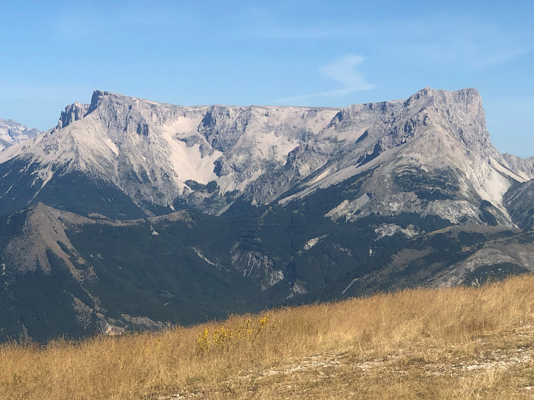
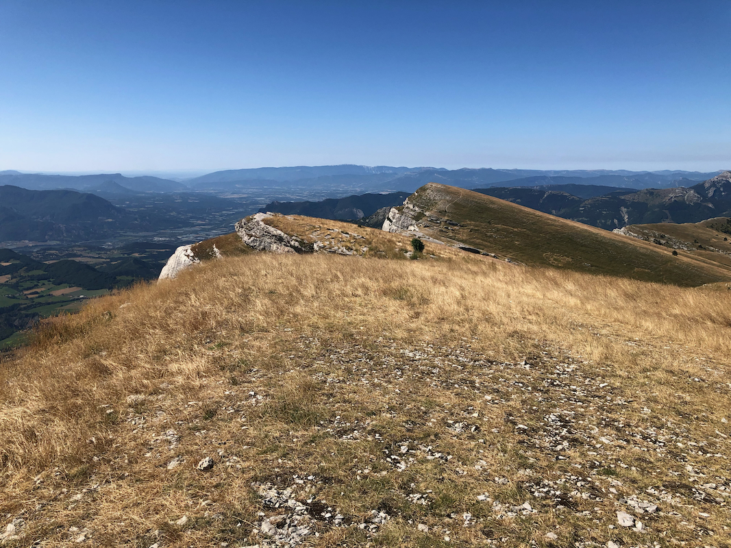
Pic de Bure dominates to the north.
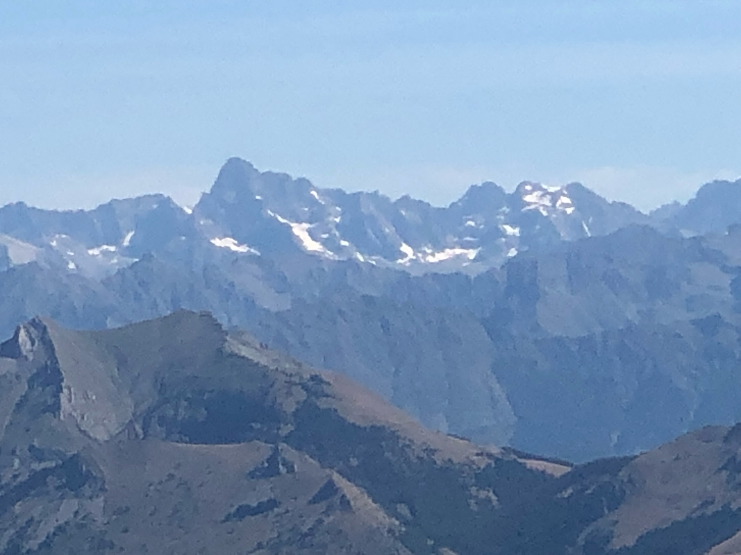
Higher peaks in the east closer to Italy.
Returning at 1055, I now
followed the trail all the way back to the trailhead, 40 minutes.
We next continued to our next summer vacation hotel, no more mountains, but a nice place with
a near perfect swimming pool. We will continue to Andorra in another 3 days, to find some more
RIBU peaks.