Location: South 06.26857, East 106.04897 (GPS at the summit)
Difficulty: YDS class 2
Climbed July 14. 2015.
Information:
How to get there:
From Jakarta, take the toll road (motorway) that runs west to Merak.
Exit south at the Pandeglang turn-off and drive to Pandeglang. In
Pandeglang, you will arrive at a traffic circle with a nice (small)
tower (decoration) in its center. You shall go right here, however, this
street is one-way (only at its very end) and you may have to make a little loop in order to
join the proper road a block uphill near location S06.30832, E106.10544.
Follow this road directly uphill until the road forks near location
S06.29871, E106.0922, where you take the right branch.
You are now on the road that is key to proper route finding.
Drive onwards on this narrow road, always go straight ahead and
follow what looks like the main road whenever there are minor
intersections. This road continues to climb as well as passing through
small clusters of houses.
When you arrive at a fork having a big green (some sort of
information?) sign one your left hand side, then take the
right branch, this is also the road that looks best to drive.
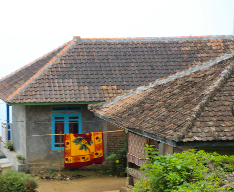
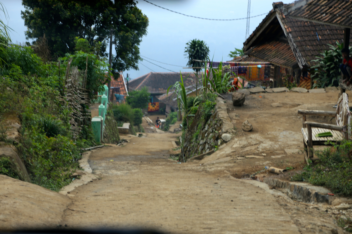
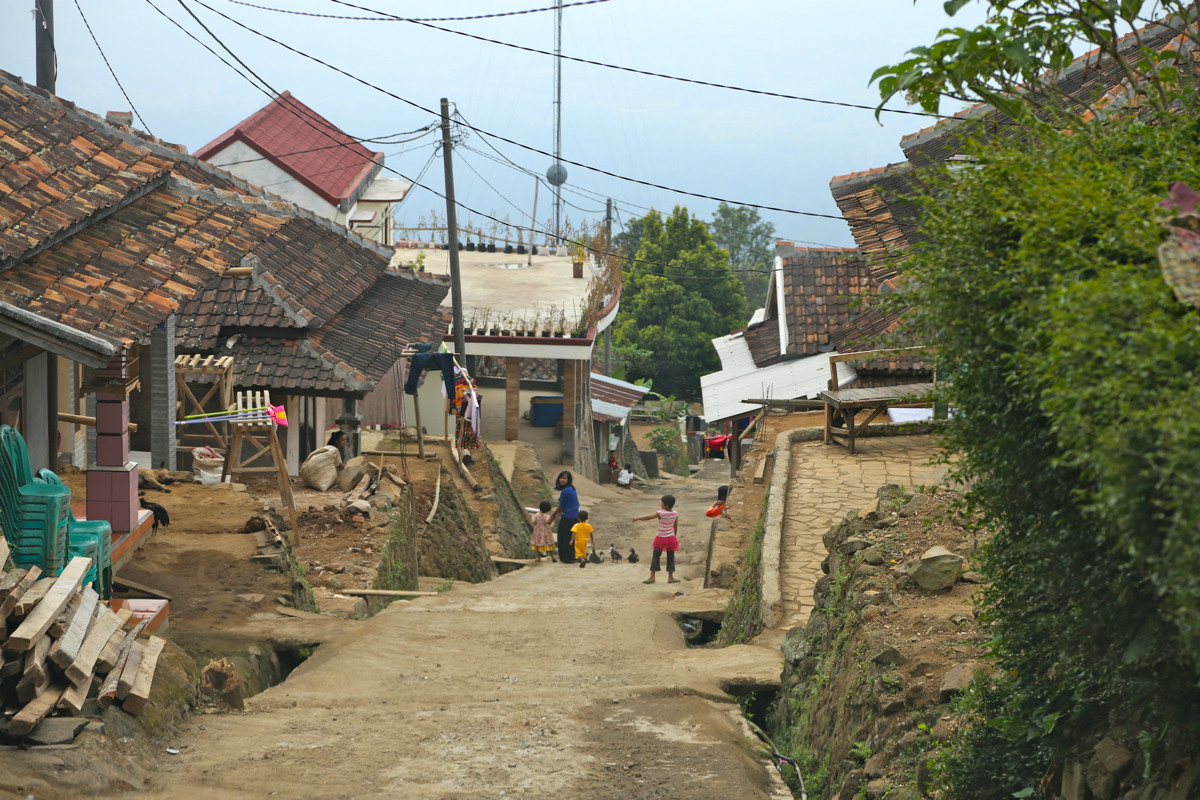
After a bit more of driving you arrive into a surprisingly
large village. This is Kadoengang, or also sometimes called
Kadu Engan.
Contine straight ahead until you arrivwe at
a T-junction, where one should turn left and uphill. This
village street is quite steep as it heads directly uphill between
buildings. You will pass a communication mast (for mobile
phones) on your left near the top of the village. Continue straight
until the road turns into a trail.
There is parking (for 1-2 cars)
on your right hand side. This is the trailhead,
location S06.26167, E106.07183, elevation about 850 meter.
Here is a summary of climbs from this trip in the summer of 2015.
Route description:
There is only one obvious trail going gently uphill as a natural
continuation of the road. This trail gradually turns right as it continues
to climb. There are a few side-trails, always go straight ahead and/or
pick the largest trail heading uphill.
As you climb higher, the trail climbs a small spur and then enters a hillside
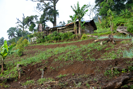
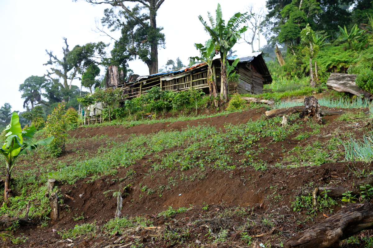
where there is farming activity.
There are several small huts, the trail runs
close by while sustaining a good climb. The entire trail is for the most part
clay or soil that gets very slippery when wet.
The farm area extends up to around 1400 meter. Higher up. the trail leaves
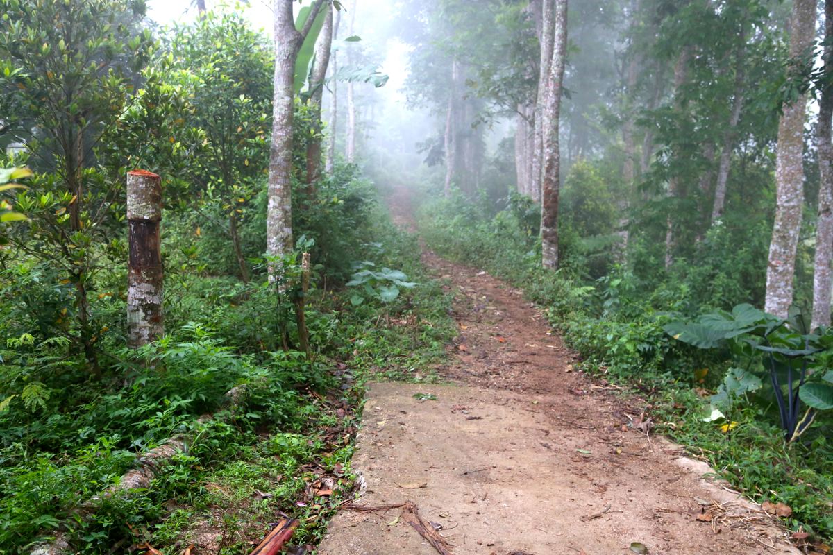
this (open) hillside and enters a forest where it quickly starts climbing
a ridge that extends higher to the climbers right hand side (when looking uphill).
This ridge is quite nice and pretty narrow in a few places (never less than the width
of a comfortable trail). It first leads to a false summit, a fairly steep and slippery
descent to a wide connecting saddle, then a more gradual ascent to the
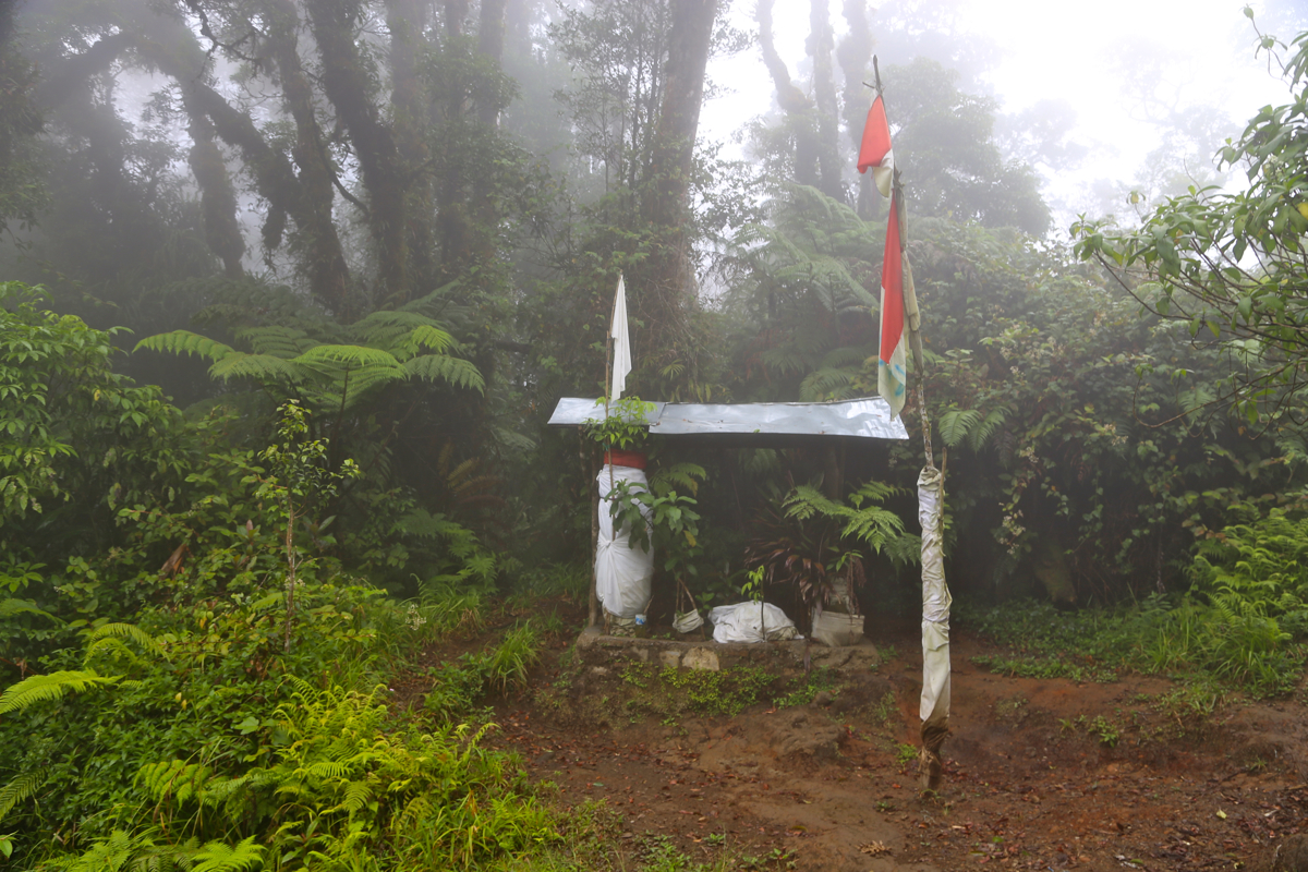
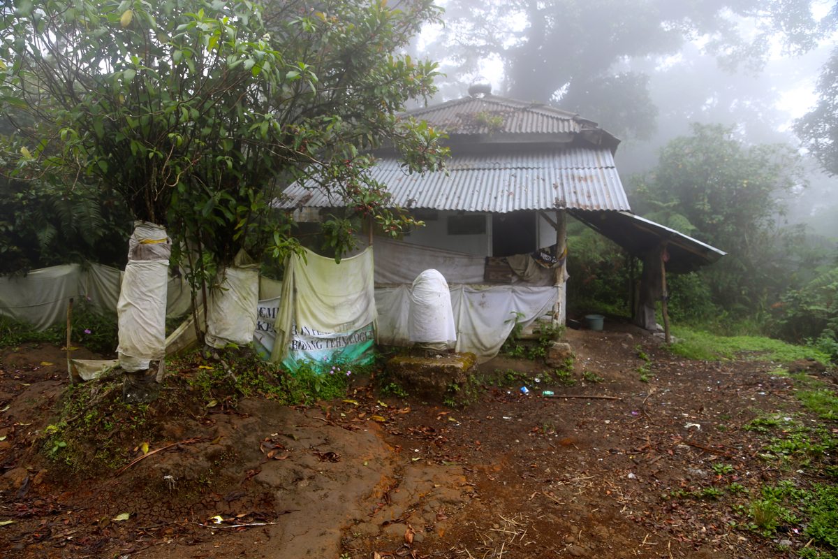
proper summit. There are a few summit symbols, a small house, some decoration with
a pole and a flag.
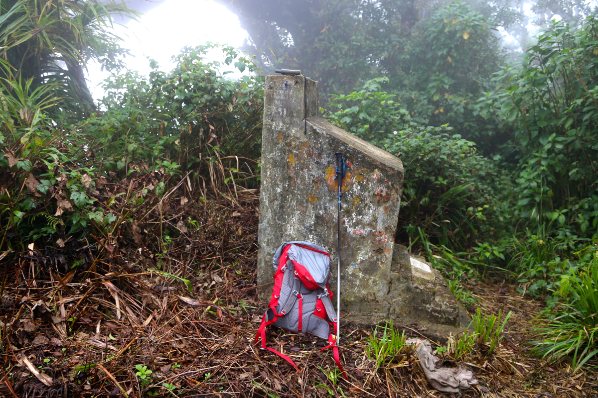
The highest point is located about 10 meter onwards to the left.
It is marked by a pretty large concrete slab. Comments:
The plan was to climb Pangrango, however, it turned out that the park officials
had closed the park for access the entire month of July. A plan B was needed and after
looking at the driving involved, I decided to try Gunung Karang.
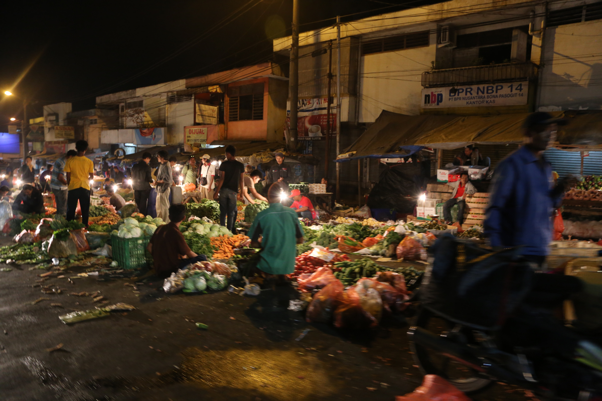
I left my hotel in Bogor already at 0300, traffic is bad due to the end of Ramadan later this week.
It looked like a market
in full operation as we drove through Bogor, lots of people and traffic
in the streets at 0315!
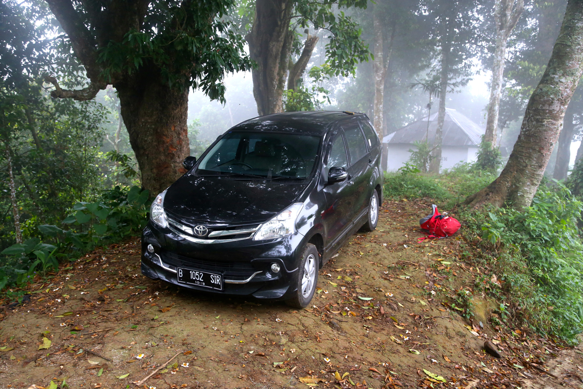
Thanks to good preparation and my GPS, the driver got me to the very beginning of the trail.
This last village, Kadoengang,
was surprisingly large given the long, narrow access road.
The main street is a rather
steep street
running directly up the hill.
I started hiking at 0625, the trail was pretty obvious, but slippery from recent rain.
Interesting to see the farm areas higher up on the slope. The huts that were scattered
around looked like day-use quarters.
Higher up, the trail got somewhat easier, that is better friction, as it entered an area
of forest. Gradually, the route entered a more well defined ridge that gently climbed higher.
I soon arrived at the "false summit" (really just a small flat area among the trees), but
this was still the only downhill section of the trail. The last part was easy and
I emerged onto a flat area with
some sort of shelter. Slightly higher,
to the left side, was the highest point, marked with a concrete pillar.
It had taken me 1:50 to get here.
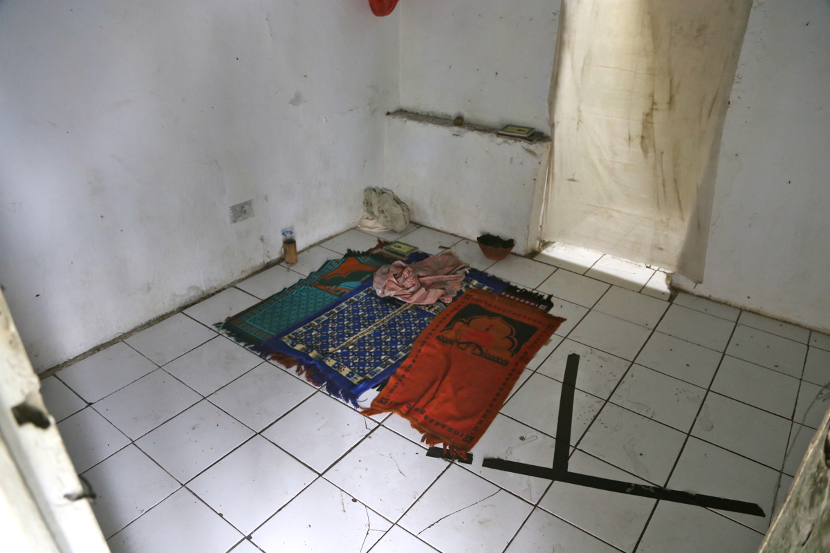
The shelter had a room with carpets meant for
prayers, there were clouds all around and no views. I rested and explored the summit area
until 0830 (15 min), then descended back to the car in 1:30.
The drive back was uneventful and I was back at the hotel
in Bogor, a bit after 1300.