How to get there:
Take E-39 north from Bergen. After Romarheim, cross the mountain pass, then exit right
just before the long (downhill) tunnel to Matre. Pass under the Hwy., then turn right
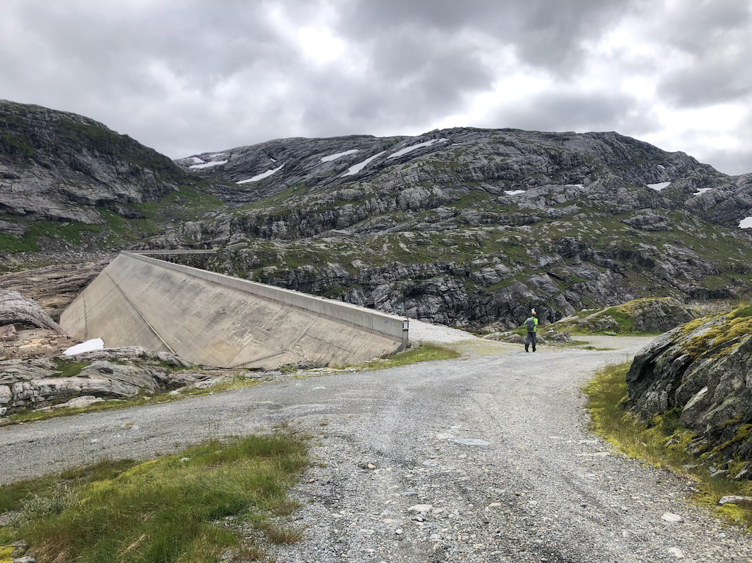
to start driving a very long mountain road built to construct the hydro power dams and plants
to the north. Drive this road to its very end, there is parking on the left side of the pretty
large dam. This location is N60.88075, E005.79398, elevation about 785 meter.
Route description:
Follow the signed and T-marked trail towards Skavlabu.
You start by crossing on top of the dam.
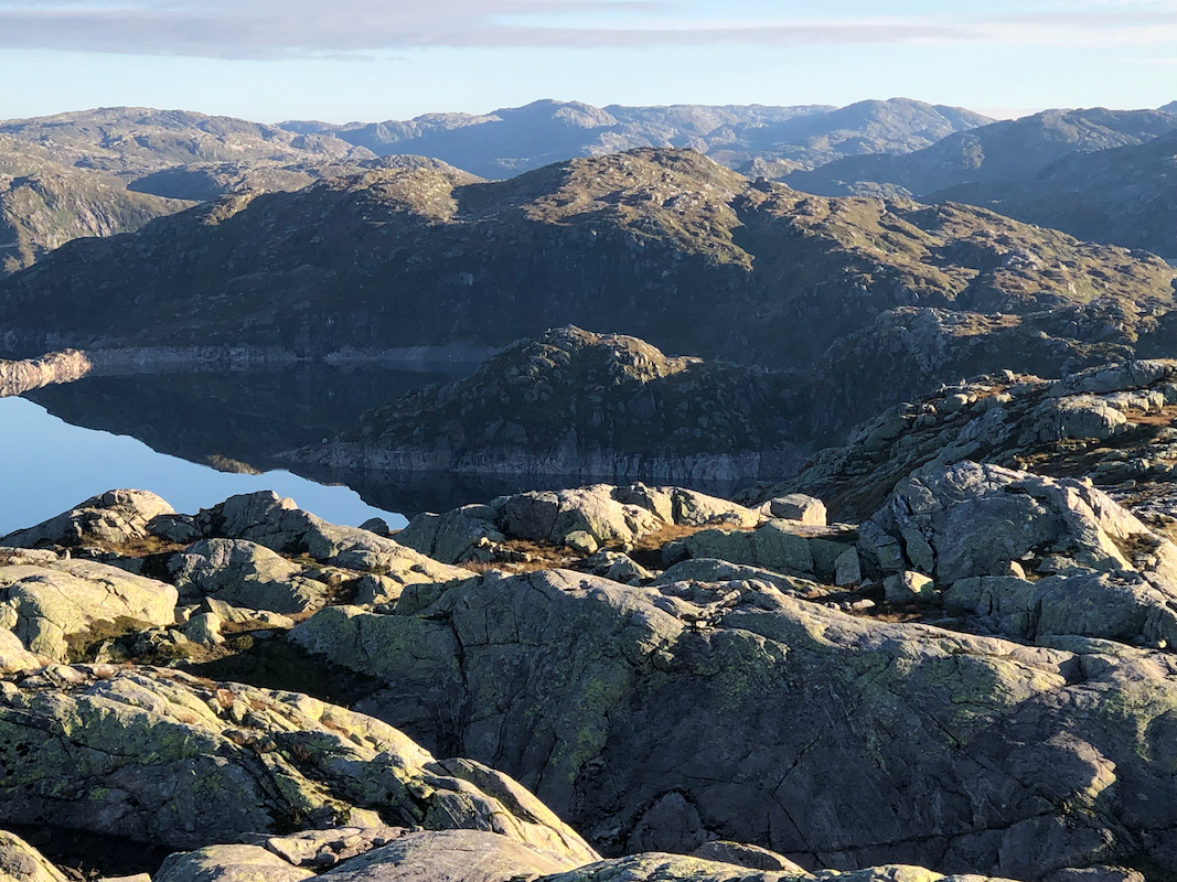
Continue uphill, pass a small lake and continue uphill until reaching the main crest.
There is a signed trail fork here, turn left towards Vardadalsbu (north). This trail will descend to
another dirt road coming up from Modalen, however, this road is closed by a gate
all the way down in Modalen, thus this trailhead is better.
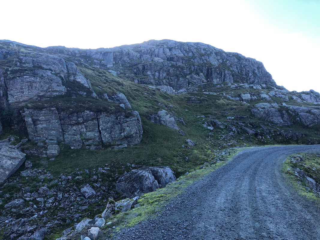
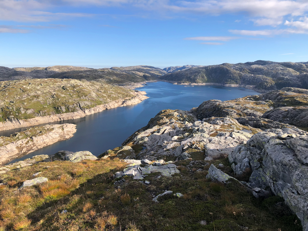
When you reach the road, turn right and follow this road as it
runs past the south end of lake Skjerjavatnet. After this lake you will
see the summit straight
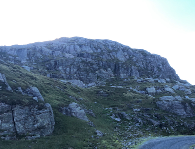
ahead. Find your way directly uphill following
grass ledges. There may be a few spots of easy (YDS class 3) scrambling, mostly
in the lower part. You will soon reach the summit.
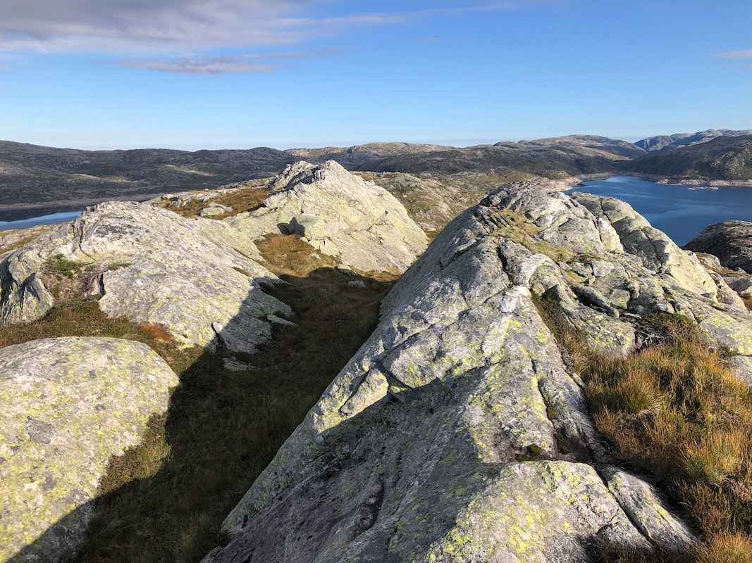
There are a few competing summit points,
all located near each other.
Comments:
I left Bergen early, after parking already on my way at 0745.
I knew this trail from a previous visit, still a bit surprised that
(almost) all the snow in the ravine up right had smelted.
This time, I continued along the trail steeply up to the main crest and the signed trail-fork.
On this hike, I now crossed over the highest terrain (above 1000 meter), while my two
summit goals were both below 950 meter.
It was a lovely morning as I walked the easy terrain back towards the lake again.
I could see my next goal, Skjerjavassryggen, across the lake.
The road, then
a slightly tricky (in the beginning) direct ascent to the summit.
I was there at 0925, good views. Descending the same way, I next headed to
Skjerjavassryggen.