Location: North 60.58819, East 005.94656 (GPS on the summit)
Difficulty: YDS class 2
Climbed March 30, 2020
Information:
How to get there:
From Bergen, drive E-16 towards Voss, but exit (right) at Dale.
Continue through Dale and up the narrow (spectacular) road that
runs up Bergsdalen. About 30 years ago, this was the main Hwy. connecting
Bergen to Oslo, very hard to believe when driving there today.
Continue up Bergsdalen to the farm Li (on your left). There is signed parking
there reserved for people going to the DNT hut Høgabu. This location
is at N60.57361, E005.94301, elevation about 440 meter. A sign is posted informing
about more parking slightly further onwards.
Route description:
There are several alternatives. This route runs directly uphill from Li, staying
left of the small river (Klypet). One may most likely also ascend more directly to
Såta, starting a bit further east.
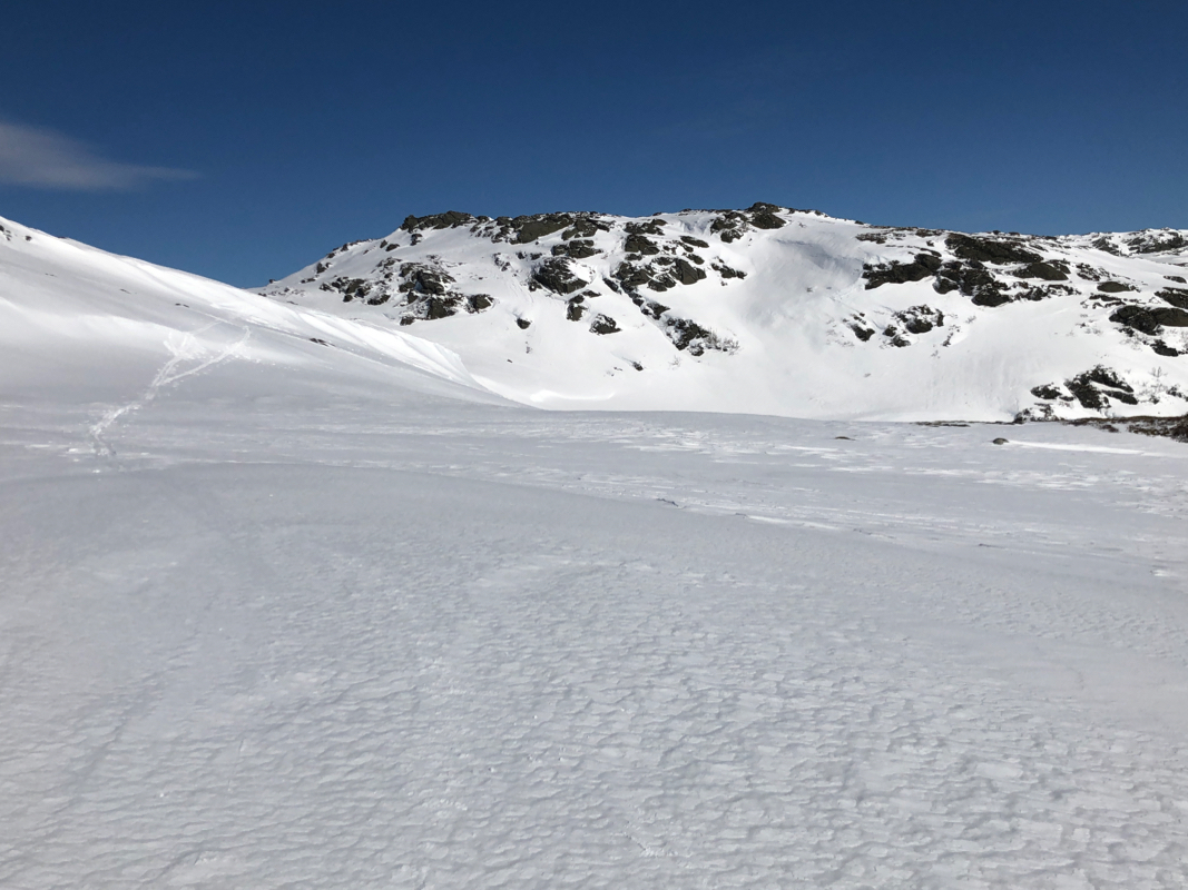
From Li, follow nice and open slopes uphill to Flatafjellet. Shortly before the
top, ascend right and cross the creek. The route now traverses uphill along good slopes
to the base of the summit area.
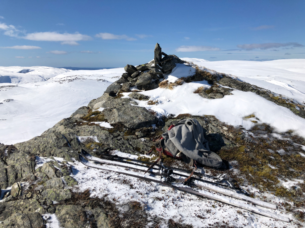
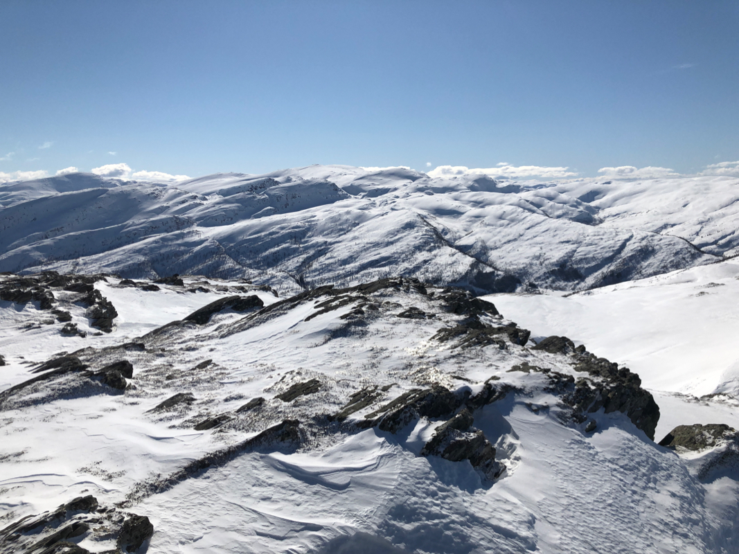
The final 30 meter of ascent is easy skiing around towards
the north side, then to the summit marked by a rock. Comments:
I had skied Storafjellet, but the day was
still young and I decided to also visit Såta. The plan was to use
my randonnee skis, however, I discovered that I had left the skins back home.
Oh well, slightly easier to ski with my mountain skis, at least the uphill part.
I left my car around 1230 and arrived at the summit at 1345, so 1:15 with quite
a relaxed effort. Skiing back down was fun and this concluded a very nice
day of mountain skiing.
