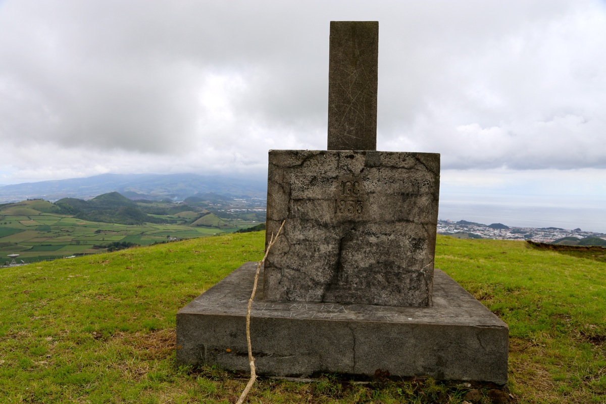
Location: North 37.78836, West 25.68383 (GPS on the summit)
Difficulty: YDS class 1
Climbed: July 31. 2014
Information:
Here is a quick summary of my climbs in the Azores islands.
How to get there:
From Ponta Delgada, head north, follow signs for Capelas.
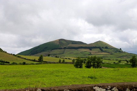
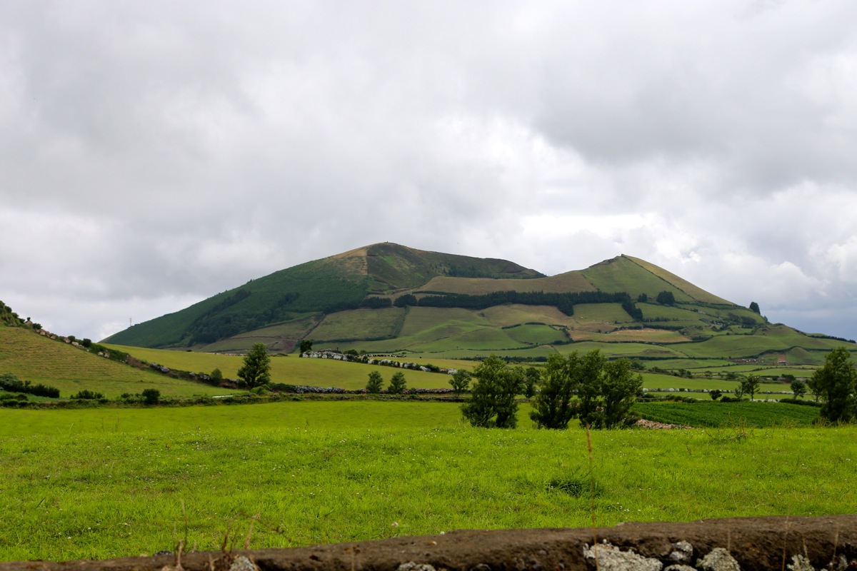
You will easily notice the big "bump" sort of
in the middel of the island. The trailhead is on the east side. As you drive gently downhill, pay close attention
and turn left into a narrow, dirt, farm access road just below the mountain.
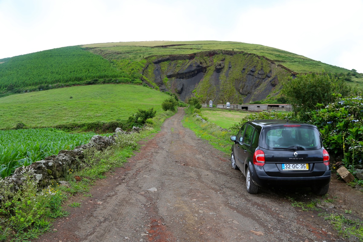
Find non-blocking parking immediately
after exiting the Hwy. This location is N37.78950, W25.67744., elevation about 280 meter.
Route description:
Follow the farm / tractor road as it zig-zags uphill. At the very end, cross some
easy grass to gain the big summit marker. Comments:
I was on my way home from visiting Pico das Éguas, but had already noticed this
hill since my first day on Sao Miguel. I drove around, exploring a best approach and
did indeed locate a good route on the east side.
I left my car around 1300 and touched
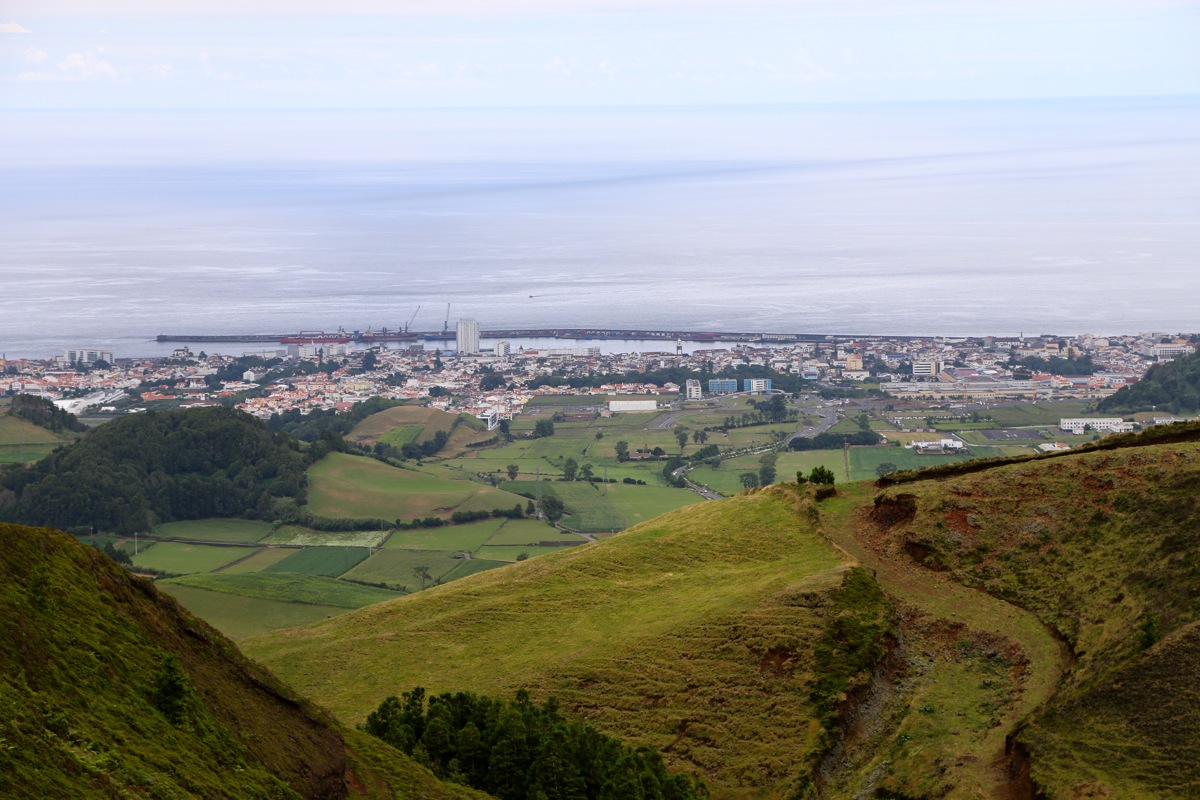
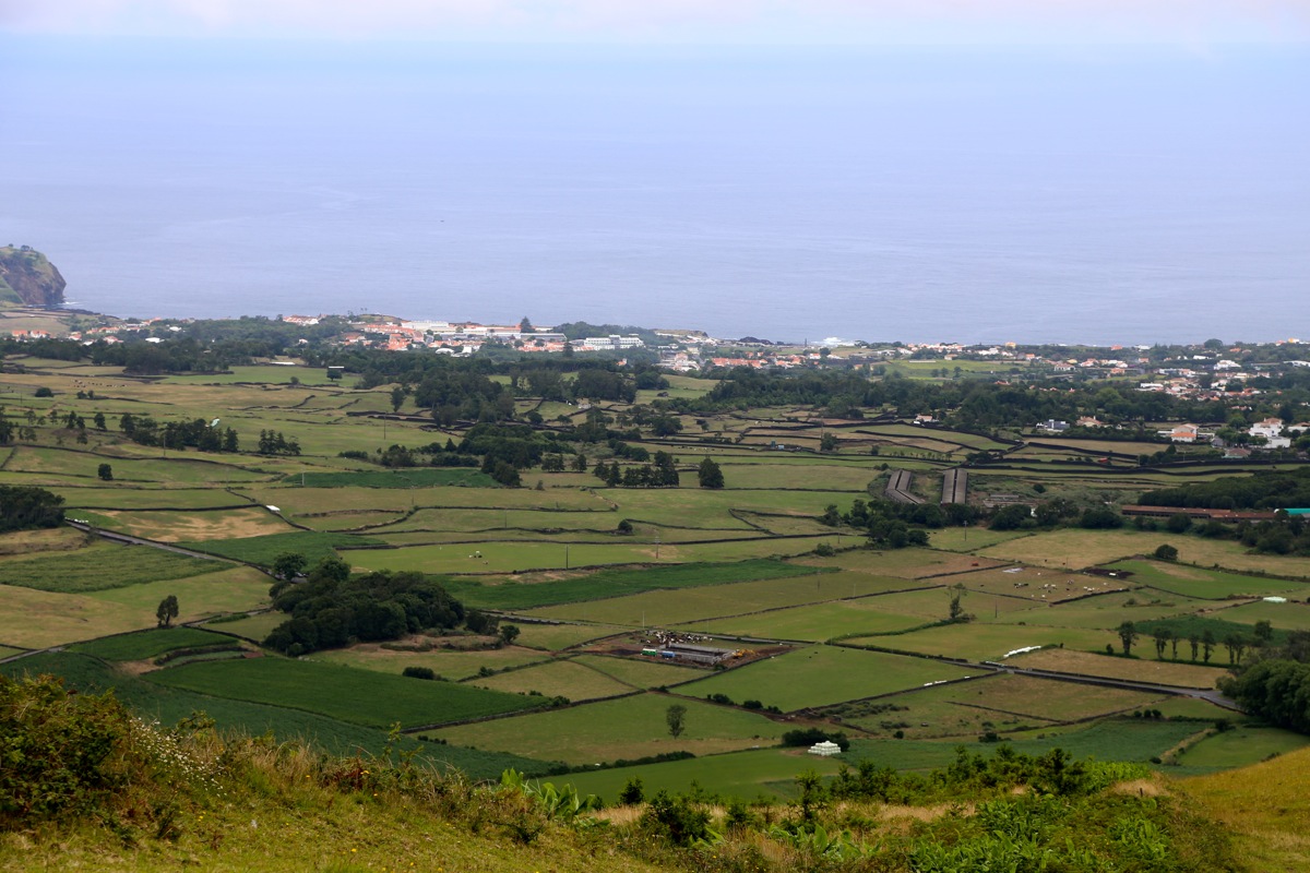
the summit by 1320. This is quite a good viewpoint as one can see both sides of the
island. Ponta Delgado to the south and Capelas to the north. I left at 1330 and was back
by my car at 1350.