Location: North 60.83022, East 005.65869 (GPS on the summit)
Difficulty: YDS class 2
Climbed: November 4. 2021
Information:
How to get there:
Drive E-39 north from Bergen. As the road heads inland in Romarheim, you pass
Hwy. 569 serving Modalen and connecting to E-16 near Dale. From here, continue
north on E-39 about 5.4 kilometer, locate the exit right to Dyrkollebotn. Take
this road, when you get to the lake, continue right on a small, but good dirt road.
When you get to the north side of the lake, park on the left just before a small
bridge. This is location N60.80048, E005.63937, elevation near 350 meter.
Route description:
This route starts from the summit of Eggene.
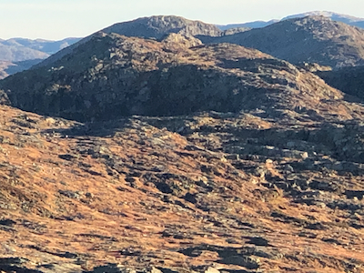
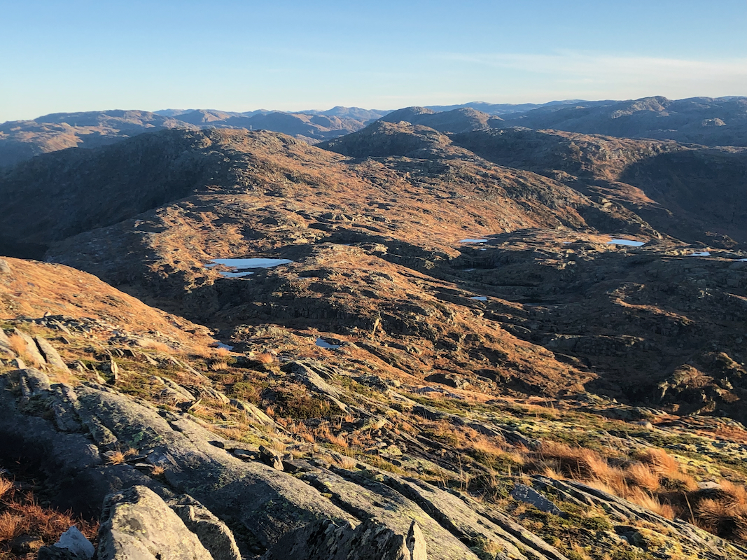
First, head north-east
following the natural flank as it descends gently
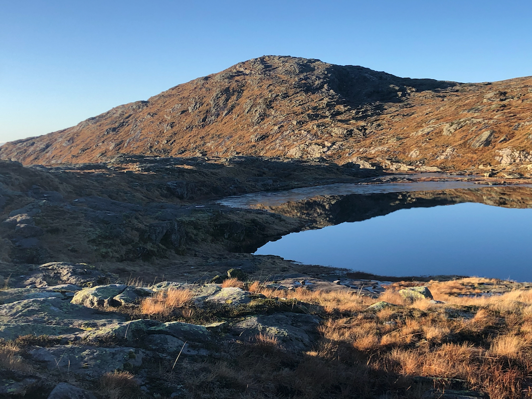
towards the separating col named Fitjabotsskaret. Cross near the col and ascend to
the small lake marked at elevation 786m. Continue on its west side and cross perhaps
slightly south of the very minor hump listed as 815.9 meter. Finally, ascend easy terrain
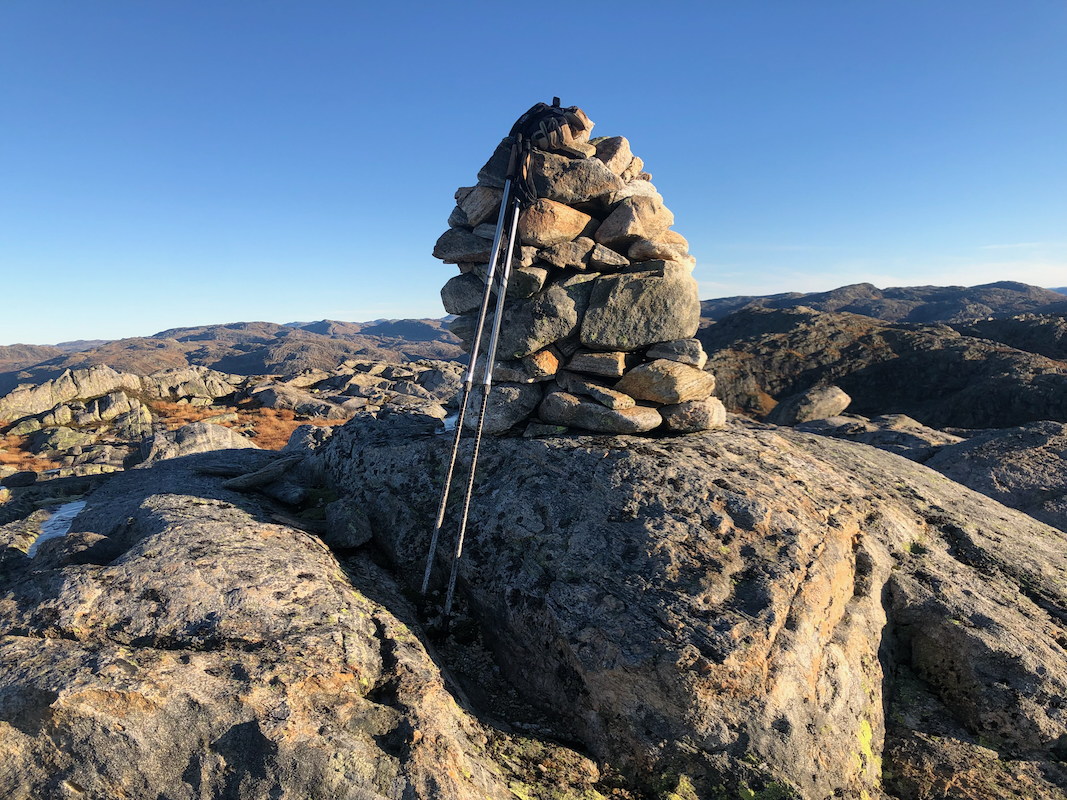
to the summit. The summit is marked by a small, but nice cairn. Comments:
I had ascended Eggene as the first summit on my hike. From there,
it took me slightly more than one hour to reach this summit.
I contined my trip to Kupefjellet.