Location: North 60.71584, East 005.54810 (GPS at the summit)
Climbed November 18, 2020
Difficulty YDS class 2
Information:
How to get there:
Take E-39 north from Bergen. Drive through the 4.9 kilometer
Eikefet tunnel. Go through a small (short) tunnel after you
exit the long one, then drive another 480 meter and turn left onto
a smaller road. Drive this smaller road a bit more than 400 meter
in order to locate a small side-road that crosses the river to
your right. Drive across this narrow bridge and park on your
left side immediately after this bridge. This location
is N60.70205, E005.56511, elevation about 50 meter.
Route description:
Walk back across the small bridge, turn right and then take the right
fork. The left road serves an industrial area.
Follow this farm road about 2 kilometer, then go left and find a reasonable
route up the hill. Cliffs may always be avoided by going further to your
right. The top is fairly easy to find, but there are no marker.
Comments:
The forecast was heavy rain and I decided to visit some of the small
hills near E-39 just north of the Eikefet tunnel.
I started with Storfjellet near Romarheim.
Next, I drove back to the trailhead for Dyrskarfjellet.
It was still heavy
rain at 1315 when I walked along the farm road.
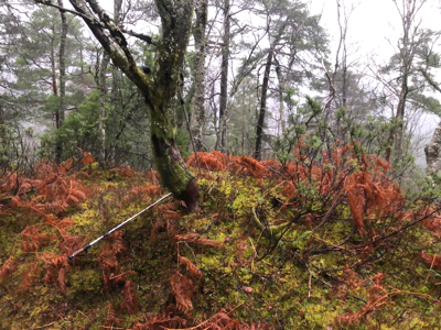
I left the road a bit early and ended up climbing the hill on its south-east side.
This worked well, but it is essential to find the right route, following various
ramps and wide ledges. I crossed over the east top before arriving at the highest (west)
summit at 1415. After a brief stop, I returned, but this time a bit more to
north-east. I arrived back at my car around 1500. The next top on my schedule
was Rundesteinen.