How to get there:
Hwy. 1 crosses this hill just south-west of Managua.
Route description:
A quick summary of the peaks climbed in Central America.
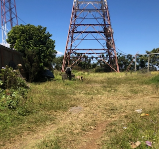
Turn off the highway near its highest point. There is a small
forest of antennas scattered in the neighborhood. A smaller road heads
north-east. Park and investigate, the terrain seems higher on the north
side of the road. There are fenced in antennas and generally some minor
access issues. It is hard to determine the highest point, but given the
nature of this top, one should not spend too much time.
Comments:
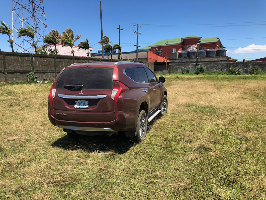
I drove across here the day before on my way to San Cristobal. It seemed pretty
likely that this hill is a P600, thus I decided
to make a stop and investigate
the summit area on my return trip. I visited 3-4 locations that all seemed pretty
equal in elevation.