How to get there:
This mountain is quite some ways from the nearest road. The best time to visit may be in the
winter, skiing from one of the DNT (self serve) huts in the area.
A possible trailhead for a summer hike is at the south end of Norddalen. Drive E-39 to Romarheim,
take the road forking right to Modalen. Continue up Modalen (Do not drive through the tunnel to
Eksingedalen.) At the north end of lake Steinslandsvatnet, continue (straight) north to the
Norddalen valley. One may continue about 400 meter along a dirt road after the paved road ends.
Park here, location N60.94286, E005.97225, elevation about 160 meter.
Route:
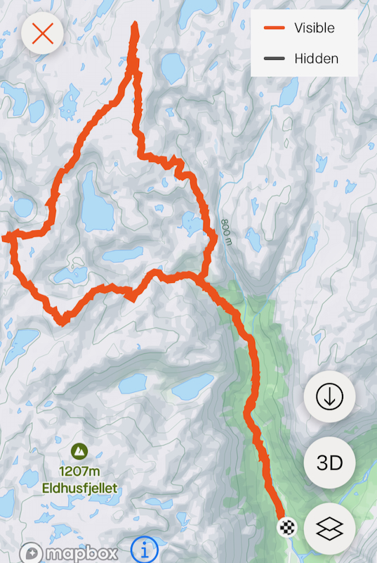
First, follow the T-marked route (signed for Vardadalsbu/Norddalshytten) up Norddalen.
The trail forks (serving the two huts) after about 4.5 kilometer at elevation 650 meter.
This trail is rather faint, completely gone in several places. The marking is also somewhere
hard to see/follow. Largely, the red Ts should be taken as direction for a route rather than
a trail.
When arriving at the signed trail fork, go right (Norddalshytten). Continue just past lake 806m,
then ascend on your left side. Contine north-west, stay mostly on the right side of the
main ridge. When reaching about 1150 meter of elevation, turn gradually right and proceed following
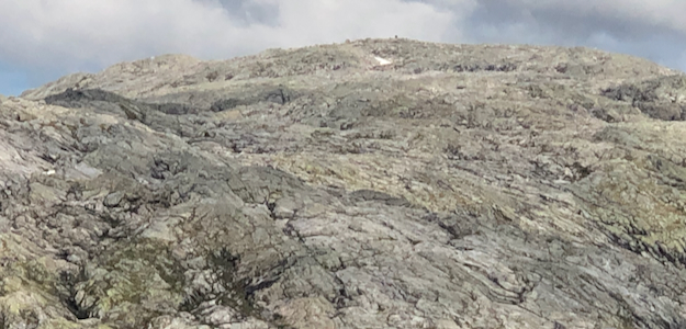
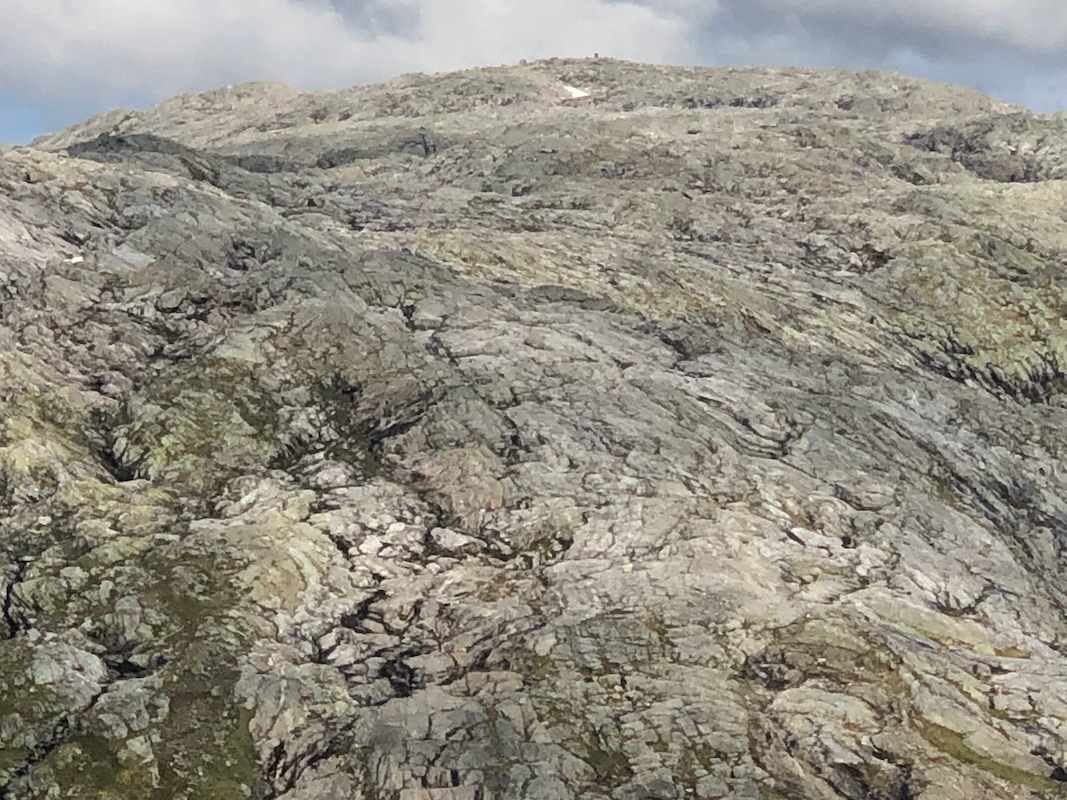
the natural passages directly towards the summit.
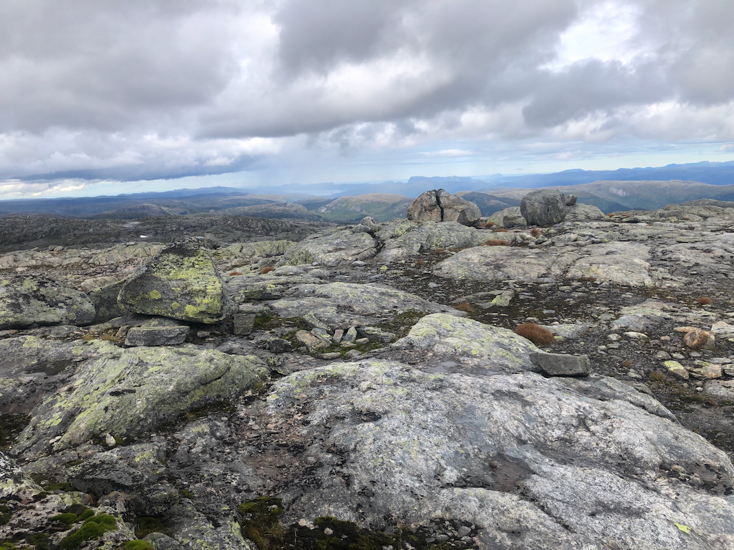
Sundagsfjellet has a large cairn that can be seen
as you approach the summit. Comments:
I did this hike with my friend Harald. We left his house in Eidsvåg already
0630. We parked at the trailhead shortly after 0800 and we left the car aat 0820.
The trail was very faint, in several places we could not see the trail at all.
Another issue was slippery rocks, this route is somewhat difficult when wet.
As soon as we got passed the trail fork, the trail/route improved, much easier to walk up here.
We left the route and continued off-trail to the summit of Sundagsfjellet.
A pretty long walk, we arrived at the summit after 4.5 hours.
A short break was called for, good views despite a fairly cloudy sky.
We next continued our hike in order to visit Fridalsnova.