Location: North 59.80641, East 006.44206 (GPS at the summit)
Difficulty (YDS) class 2
Climbed April 19. 2020
Information:
How to get there:
Locate Odda at the south end of Sørfjorden. Drive south the intersection with
Hwy. E-134, turn right (west) towards Haugesund. Drive about 7 kilometer, turn right
onto the (old) road signed for bicycles before entering the tunnel.
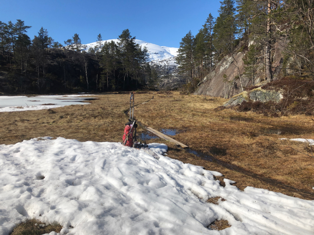
Drive about 2 kilometer and locate a small parking area near the beginning of a gated
forest road (do not block the gate). This is the trailhead,
location N59.87761, E006.46012, elevation
about 285 meter.
Route description:
Follow the forest road (steeply uphill) until it ends near 400 meter of elevation.
A T-marked trail continues south, it crosses a river then arrives at the mountain
farm called Mjelkestølen. Continue up the valley, then ascend more west to
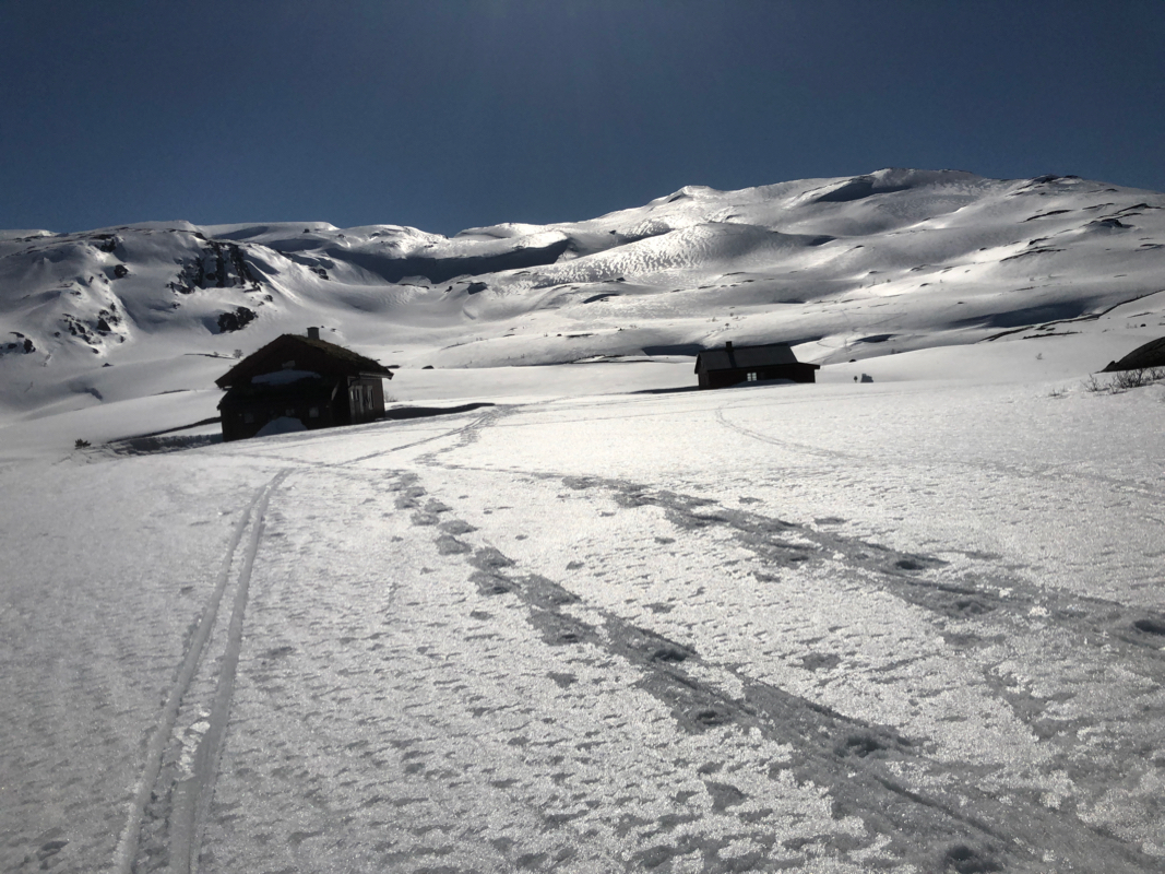
reach the DNT hut Simlebu.
From Simlebu, ascend the large slope going south. Continue uphill in the same general
direction until you reach the top of this ridge at location N59.83178, E006.42952, elevation
about 1220 meter.
Turn more south, follow the main ridge as it descends to a broad saddle north of
Kvannurdenuten. Continue south, following the broad ridge that extends all the way
up to the summit. There may be some short passages where a close look at the terrain
is necessary in order to find a good route.
Comments:
I climbed this mountain after climbing Helgedalsnuten.
There is an easy route that can also be skied. I had left my skis due to very hard
ice earlier in the morning and therefore on foot. First, descend towards lake
1318m, then continue to Trongaskard.
There is an easy descent into this narrow area and
also a nice route that curves back up (curving right) in such a way that one gets back
onto the main south-east ridge of Kvannurdenuten. This can
then be followed to the summit.
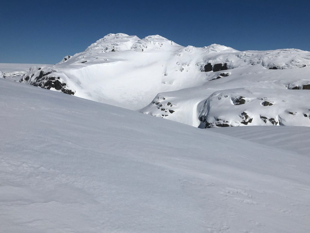
From here, I had an excellent view back to Helgedalsnuten.
I left Helgedalsnuten around 1145 and with a very leasurely walk, arrived on the
summit a bit before 1300. Leaving around 1315, I now descended towards the north-west in order
to get back to my skis near point 1233m.
I had a nice ski back down to Simlebu,
arriving there at 1515. A short break until 1530, then
a pretty easy ski/walk back to my car, arriving at 1630.
