How to get there:
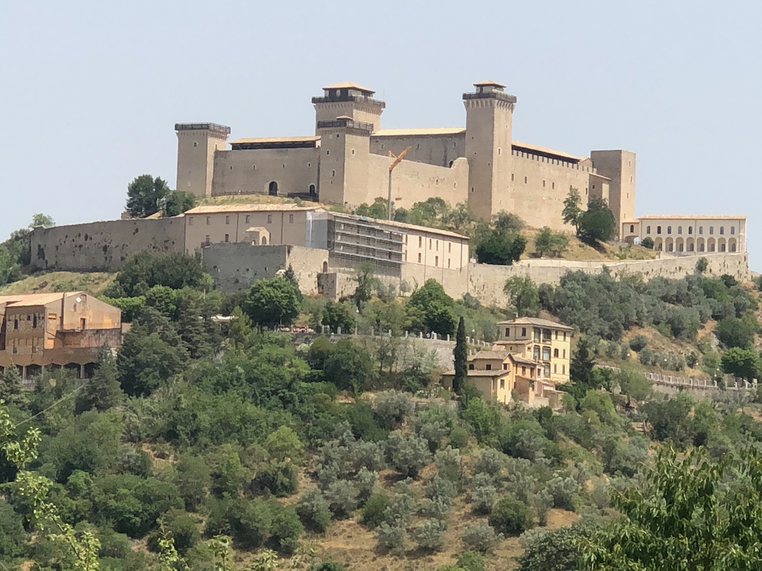
Locate the town of Spoleto, take road SP462, heading uphill (and east)
from the south side of town, with good view of a castle.
Higher up, you should follow signs for
Patrico. You will arrive at some forest camp, continue past this locating
again the road signed for Patrico. Another left fork again signed. The road
gets you onto the main crest of the hill. At location
N42.70123, E012.76610, turn left onto a rougher dirt road. Higher up along
this road, keep left at a fork. Continue to a nice grassy area with some
signs as well as good parking. This is location
N42.68826, E012.76799, elevation near 1100 meter. Park here.
Route:
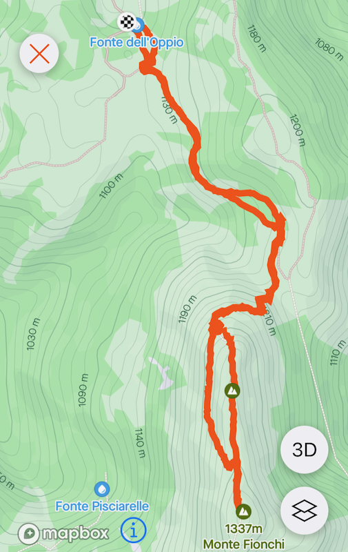
A quick summary of the peaks climbed in Italy 2022.
Take the red/white marked path gently uphill from the sign. This path will
soon join a farmers road. Continue along this road, the route is marked, there
are also some signs. The road ends at the
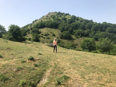
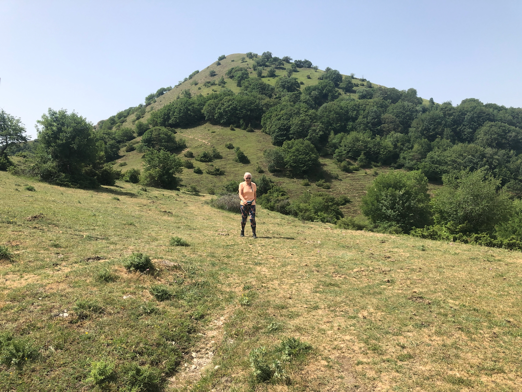
base of the final hill, a clear trail
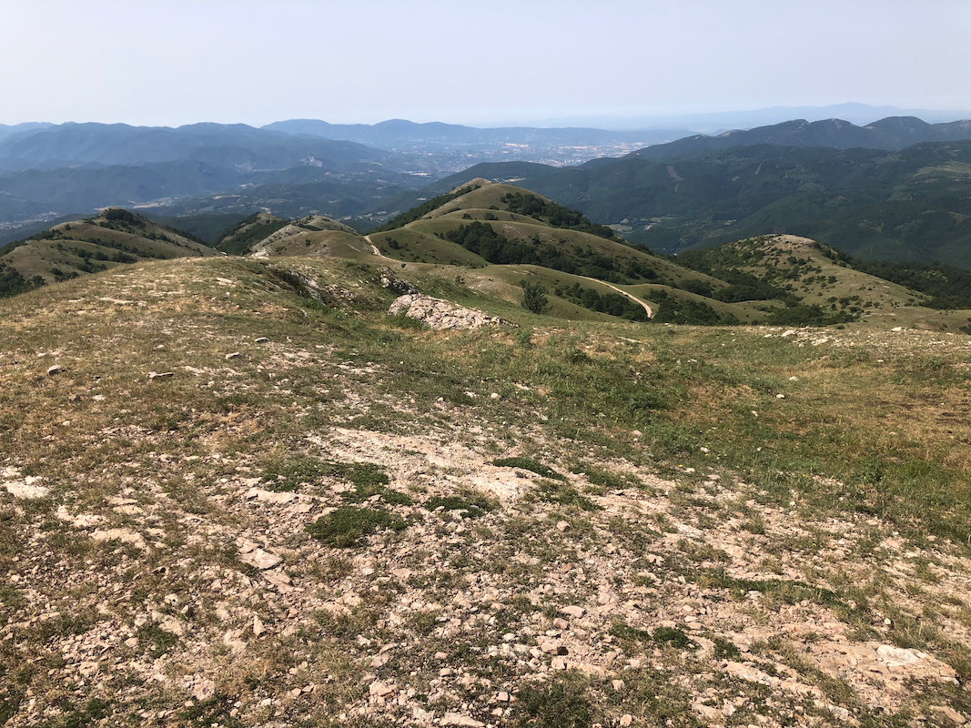
continues up the hill, then curves right. When out of the trees, follow a more
vague trail directly uphill to the first summit. (The bigger trail continues flat here.)
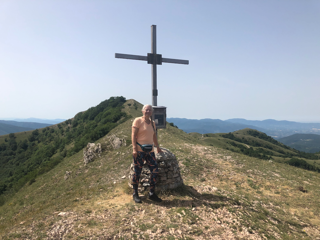
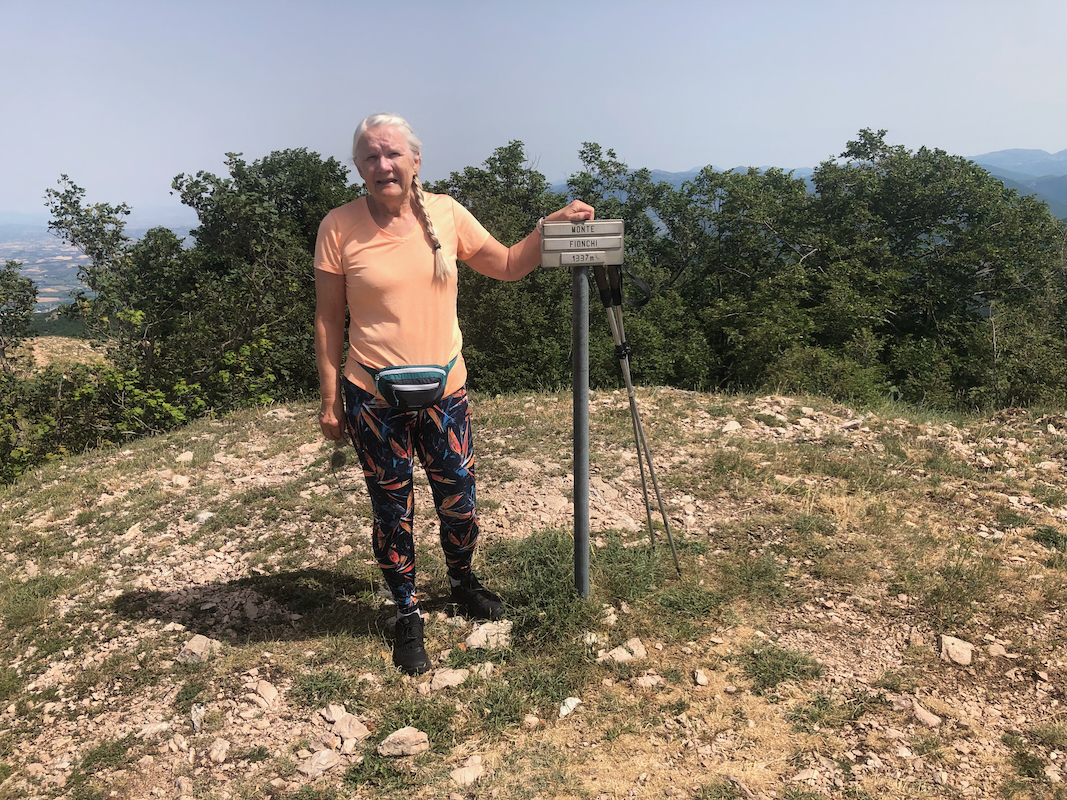
This summit has a
sign as well as a cross. Continue along a very good trail from
here to the highest summit further south. (A short and easy stroll.)
Comments:
Heidi and I were driving north with ample time for a couple of walks.
We left our car at 1000 and arrived
at the summit at 1040. A short break, then
returning in about 35 minutes.