Location: North 59.90198, East 006.19238 (GPS on the summit)
Kvinnherad, Norway
Difficulty: (YDS) class 3
Climbed June 9. 2021.
Information:
How to get there:
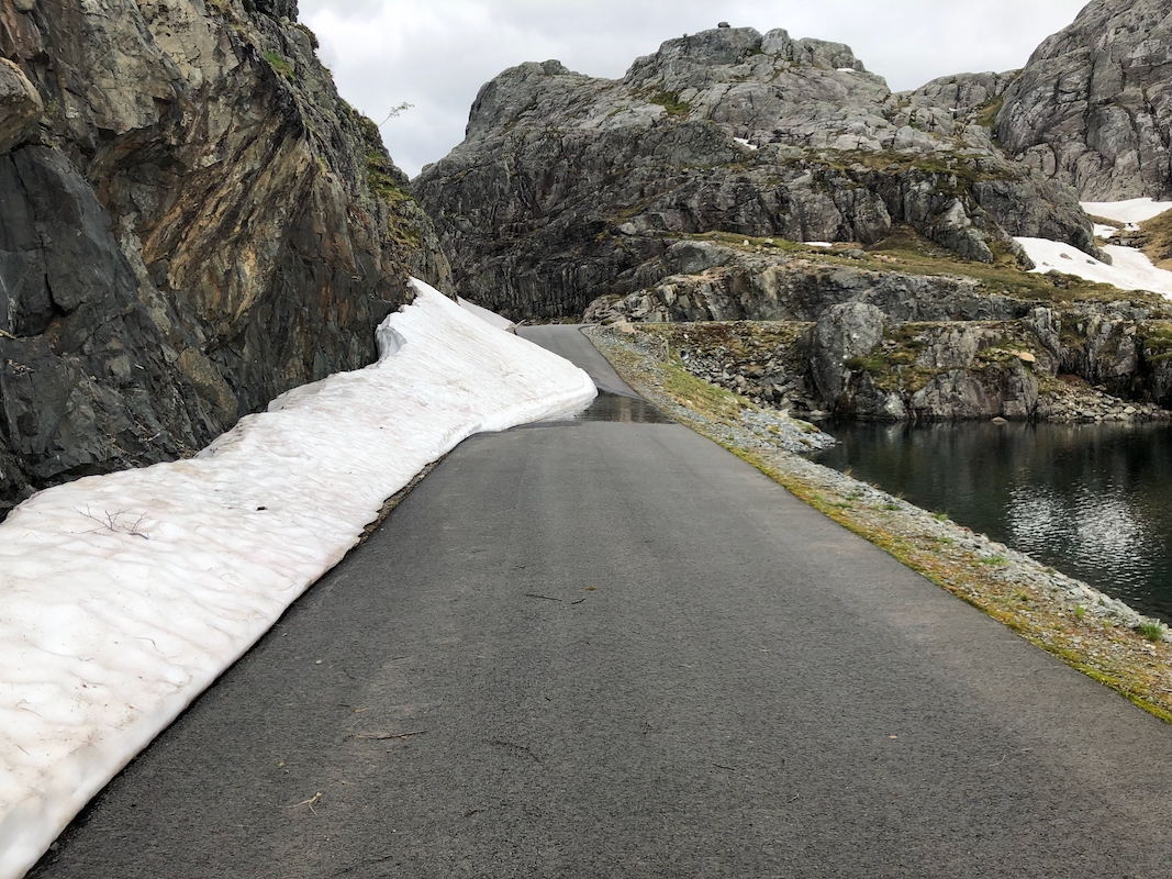
From Bergen, drive to Gjermundshamn and take the ferry across to Årsnes. Turn right
and drive through the small village of Rosendal. A few kilomter after Rosendal, turn left
onto the roaad signed for Åkra. After about 10 kilometer on this road, turn left onto
a smaller road having signs for ski area. Continue along the main branch of this road
up the valley. North of Brandvikvatnet at elevation near 625 meter, turn right and descend into
the valley before climbing back out on the oppossite side. Follow this road until it ends
with good parking. This location is
N59.88662, E006.18520, elevation about 730 meter.
Note that this road may not be cleared in winter, thus it needs to melt out before
one can drive it. This is a picture from June 9. 2021.
Route description:
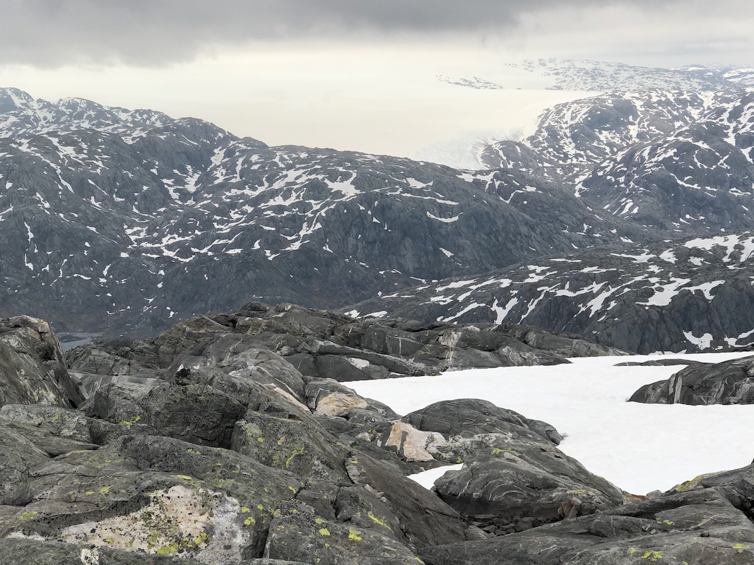
The easiest approach to this mountain would be to continue up the mountain road (avoid the last fork)
to lake Bl&aaring;vatnet. From here, one may climb the north ridge of the peak without any difficulties.
From the south side, one may similarly traverse right to the south ridge or even a bit further to
access the big gully, a favorite place to ski down in the spring.
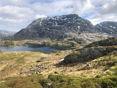
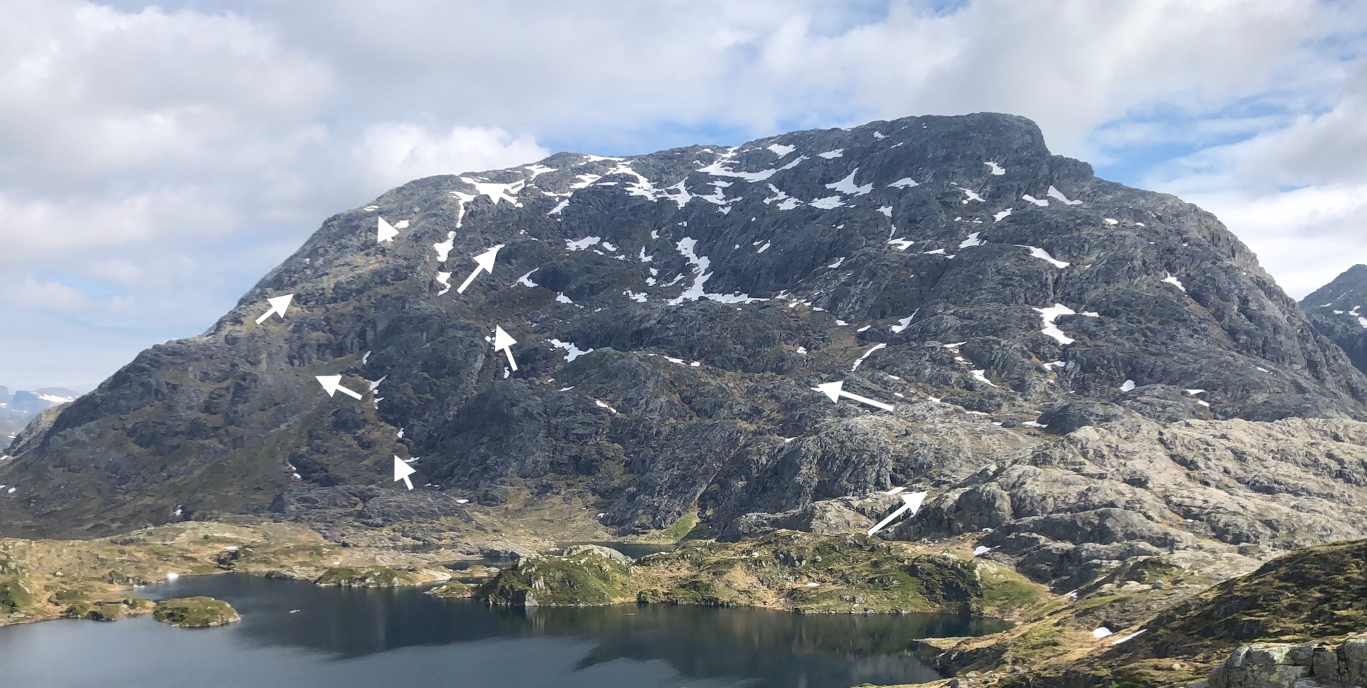
The south face, directly seen from the trailhead, has several routes, but most will involve some
(YDS) class 3 scrambling. Two possible routes
(there are more), are outlined in this picture. The leftmost route
is pretty direct, runs up easy gras slopes until near the top. Where the route turns left (upper arrow),
easy (YDS) class 3 scrambling may be needed.
The route that starts further right, then makes a long horizontal traverse left, can be completed without
exceeding (YDS) class 2+.
Higher up, the terrain is rugged, but not difficult.
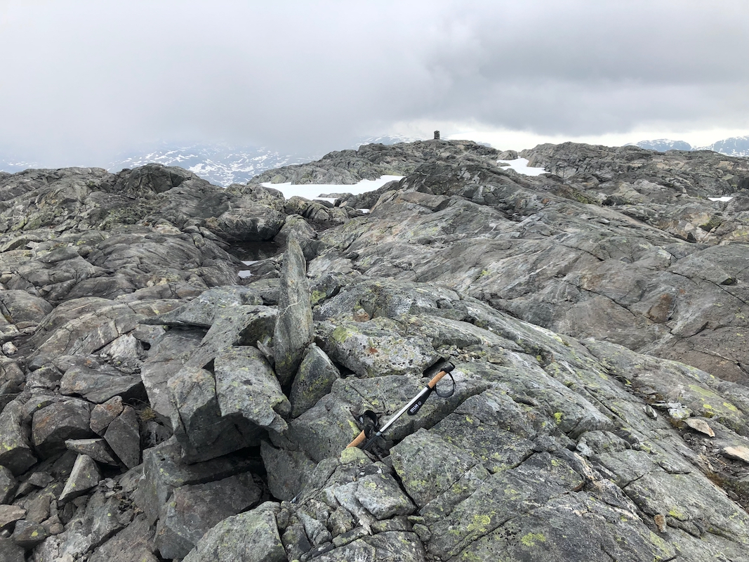
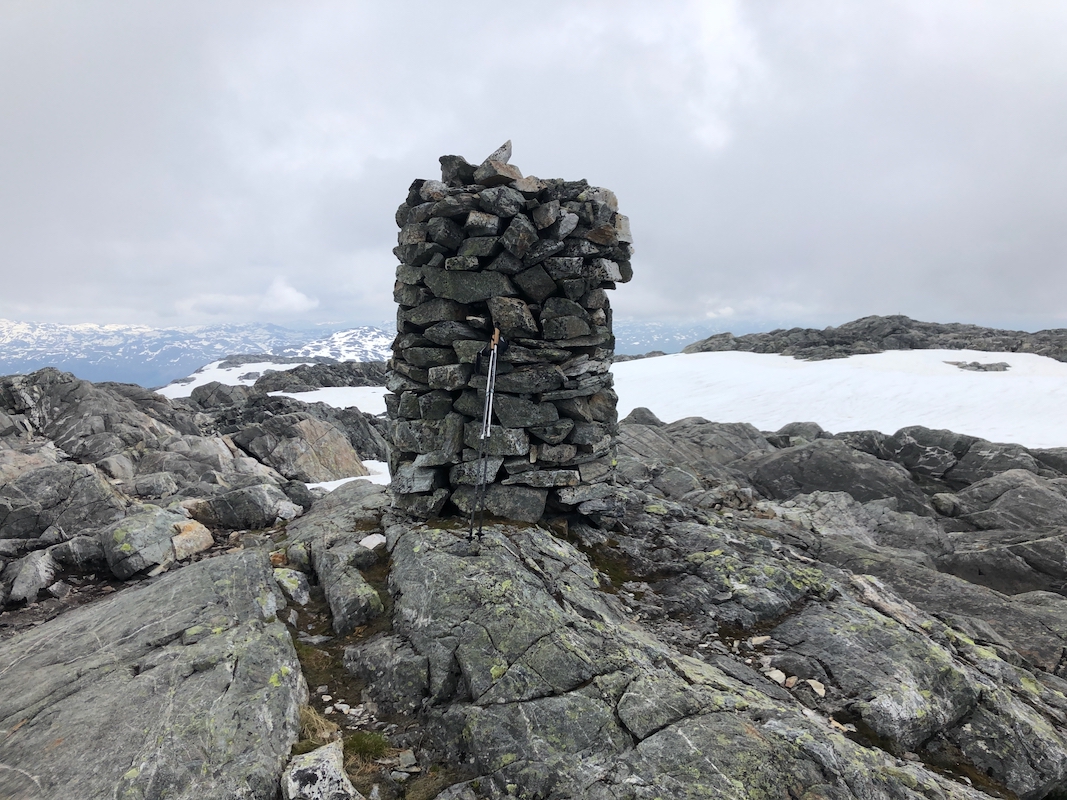
There are two competing high points, one marked with a
pointed rock, the other (and highest) with a proper cairn.
Comments:
I had just climbed Alvaldsnuten and returned to the lake (near my car)
around 1235. The terrain on the far left looked pretty reasonable, I therefore headed across to the base.
Going up the grass was pretty easy, higher up a new line going right looked promising. However, higher
up one again should climb left. This is quite feasible, but does require some (YDS) class 3 scrambling.
After crossing some slabs near the top, the terrain levels off. I walked by the competing high point,
then across to the cairn.
I was there at 1405 and rested 10 minutes while taking some photos from the top. I decided to explore a
different route descending, a bit more south on the face. This worked well, I descended without
any need for any scramble. Back at my car around 1530.